
- Kort beskrivelse
-
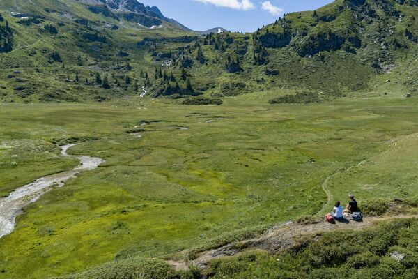
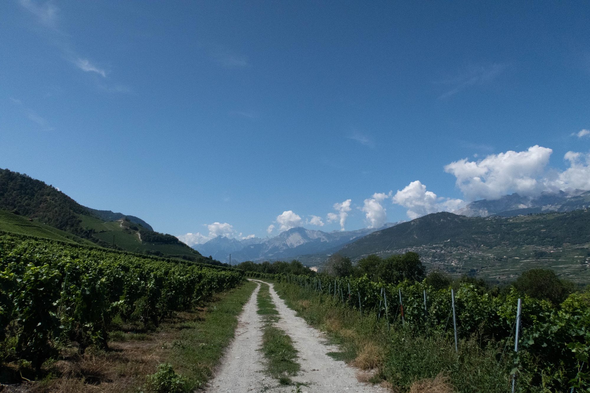
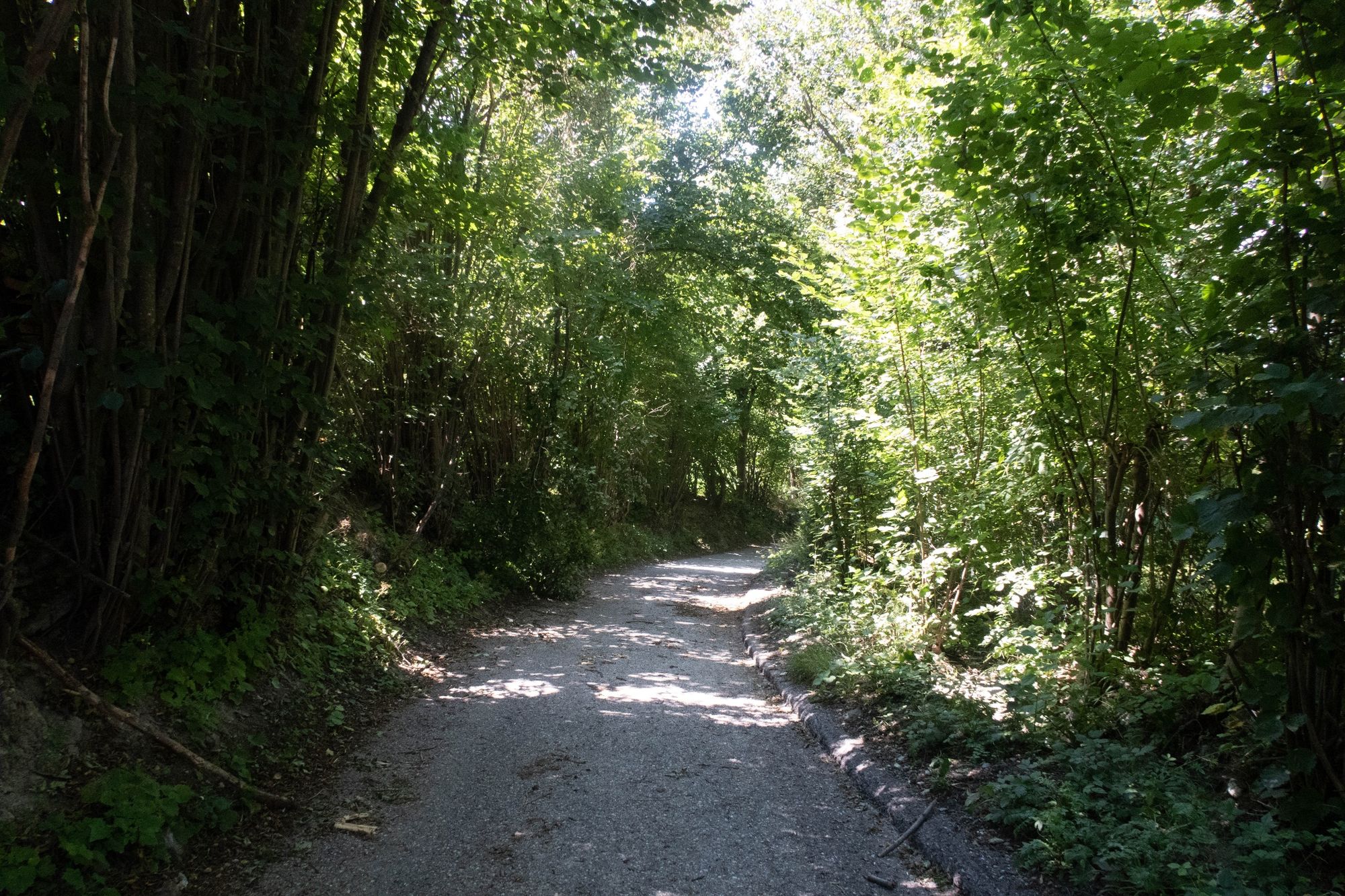
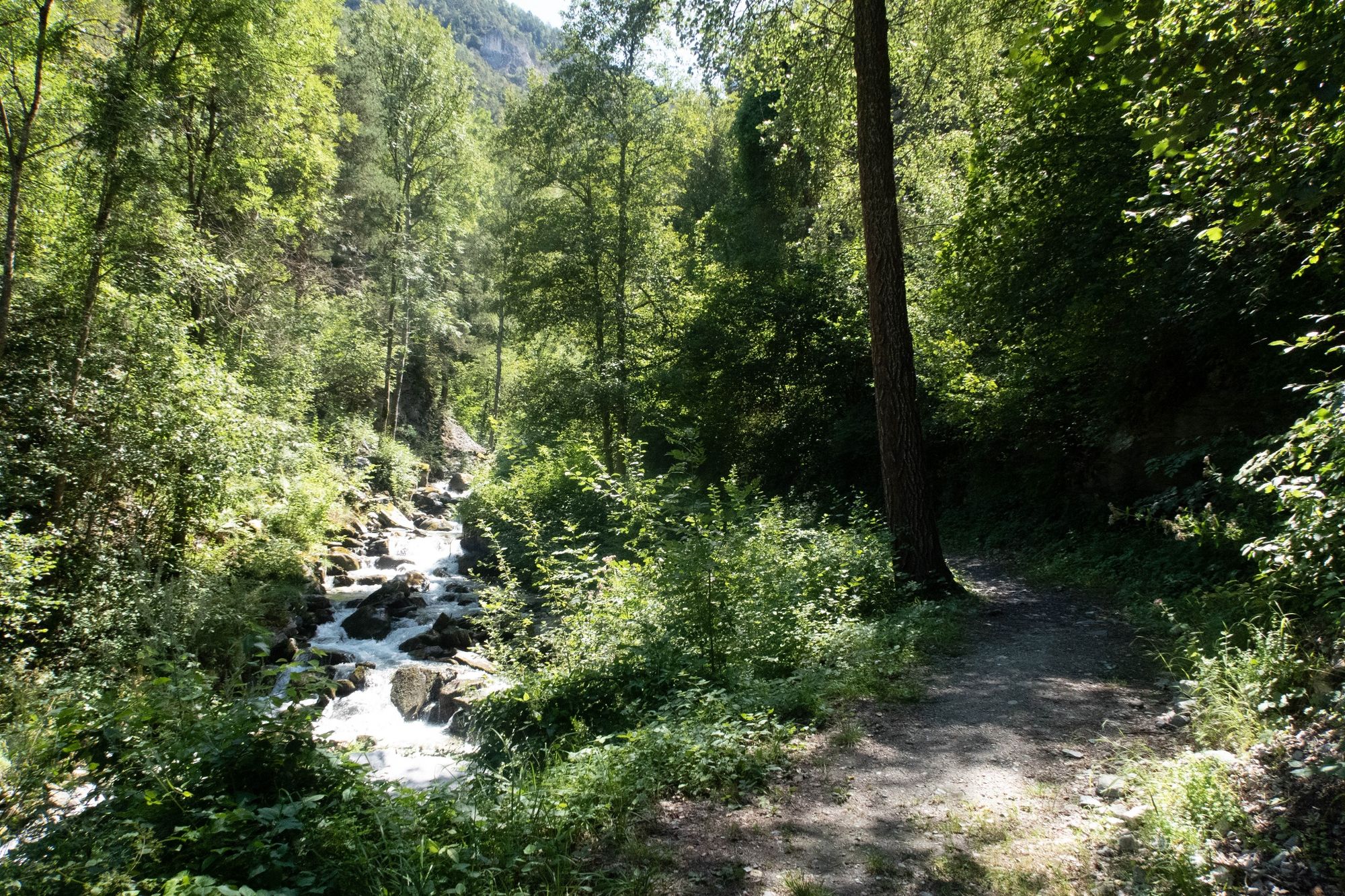
Part of the "From Chalais to the Chalets" educational trails, this path crosses the village of Réchy from above and leads to the old coal mines.
- Vanskelighet
-
middels
- Evaluering
-
- Rute
-
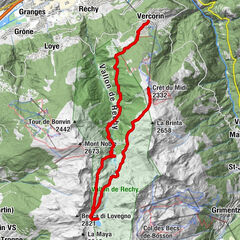
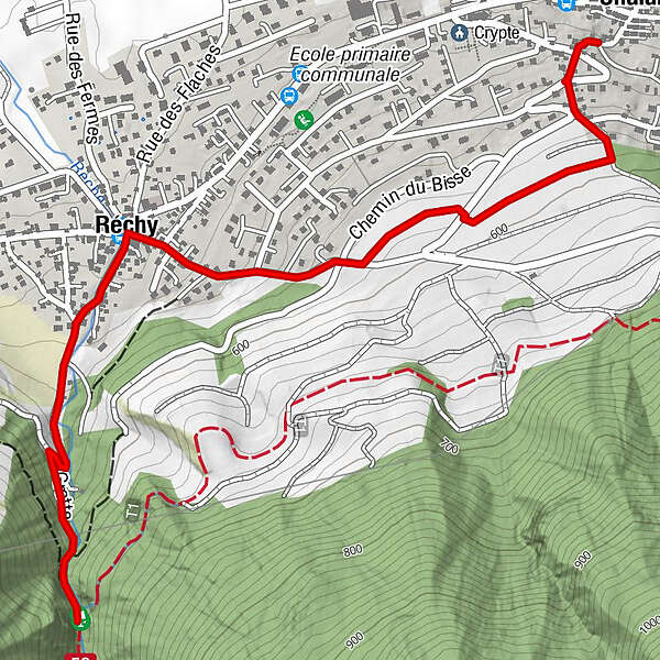
Schalei (557 m)Réchy1,3 kmAncienne mine de charbon2,3 km
- Beste sesong
-
jan.feb.marsaprilmaijunijuliaug.sep.okt.nov.des.
- Høyeste punkt
- 615 m
- Reisemål
-
Former coal mines
- Høydeprofil
-
 © outdooractive.com
-

-
ForfatterTurneen De Chalais aux chalets ... en passant par RECHY brukes av outdooractive.com forutsatt.
GPS Downloads


Generell info
Forfriskningsstopp
Kulturell/Historisk
Flora
Flere turer i regionene
-
Thyon les Collons
1433
-
Crans - Montana
984
-
Chalais
327