© Fabienne Fux-Schaller - Zermatt Tourismus
© Fabienne Fux-Schaller - Zermatt Tourismus
© Fabienne Fux-Schaller - Zermatt Tourismus
© Kurt Müller - Zermatt Tourismus
© Fabienne Fux-Schaller - Zermatt Tourismus

- Kort beskrivelse
-
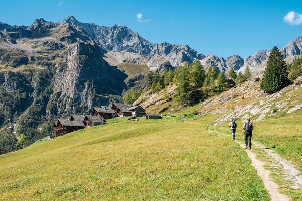
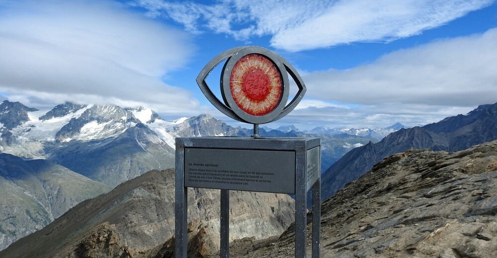
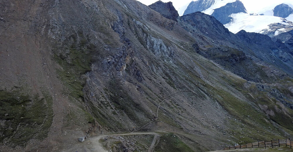
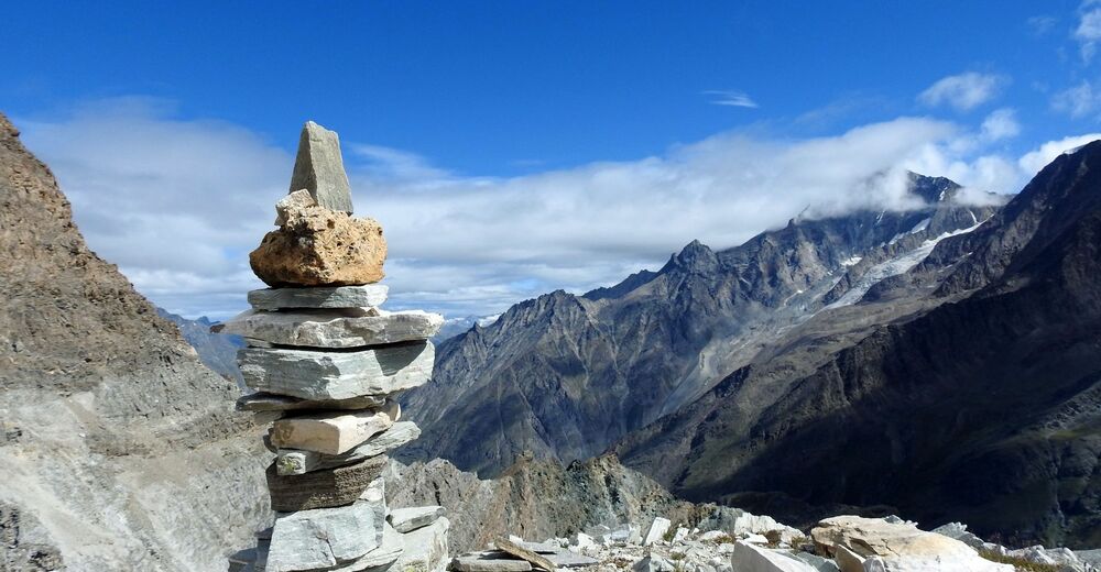
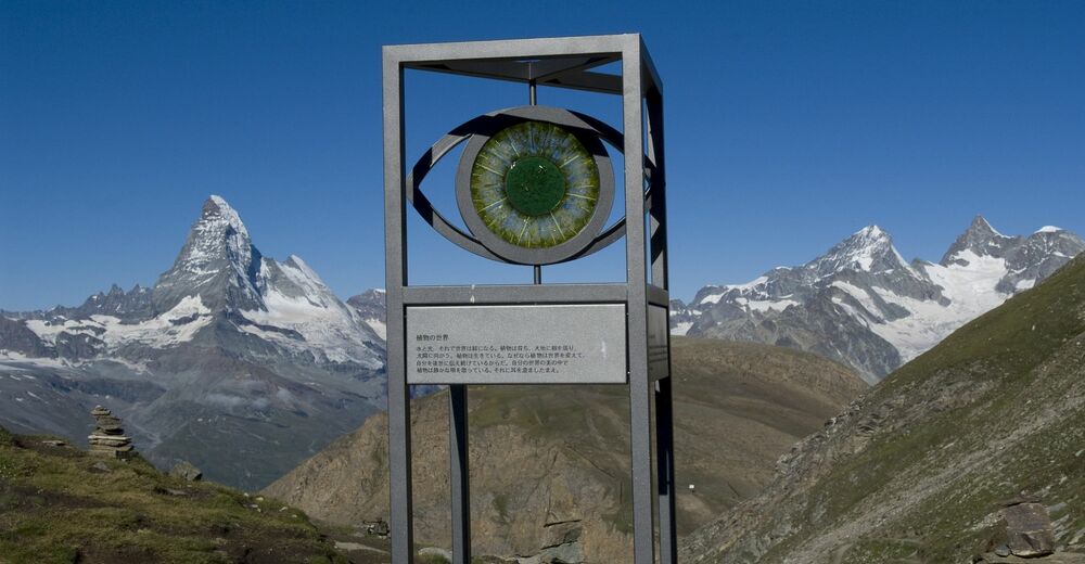
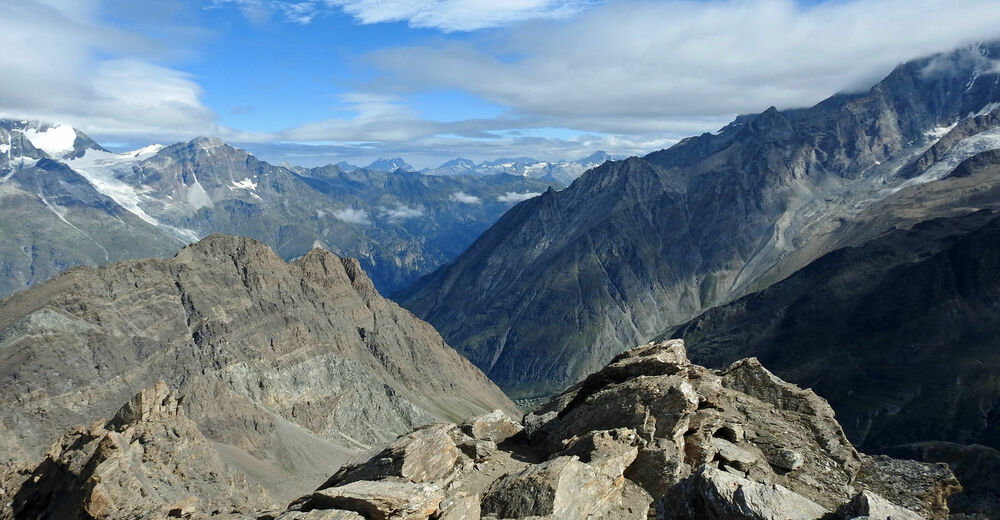
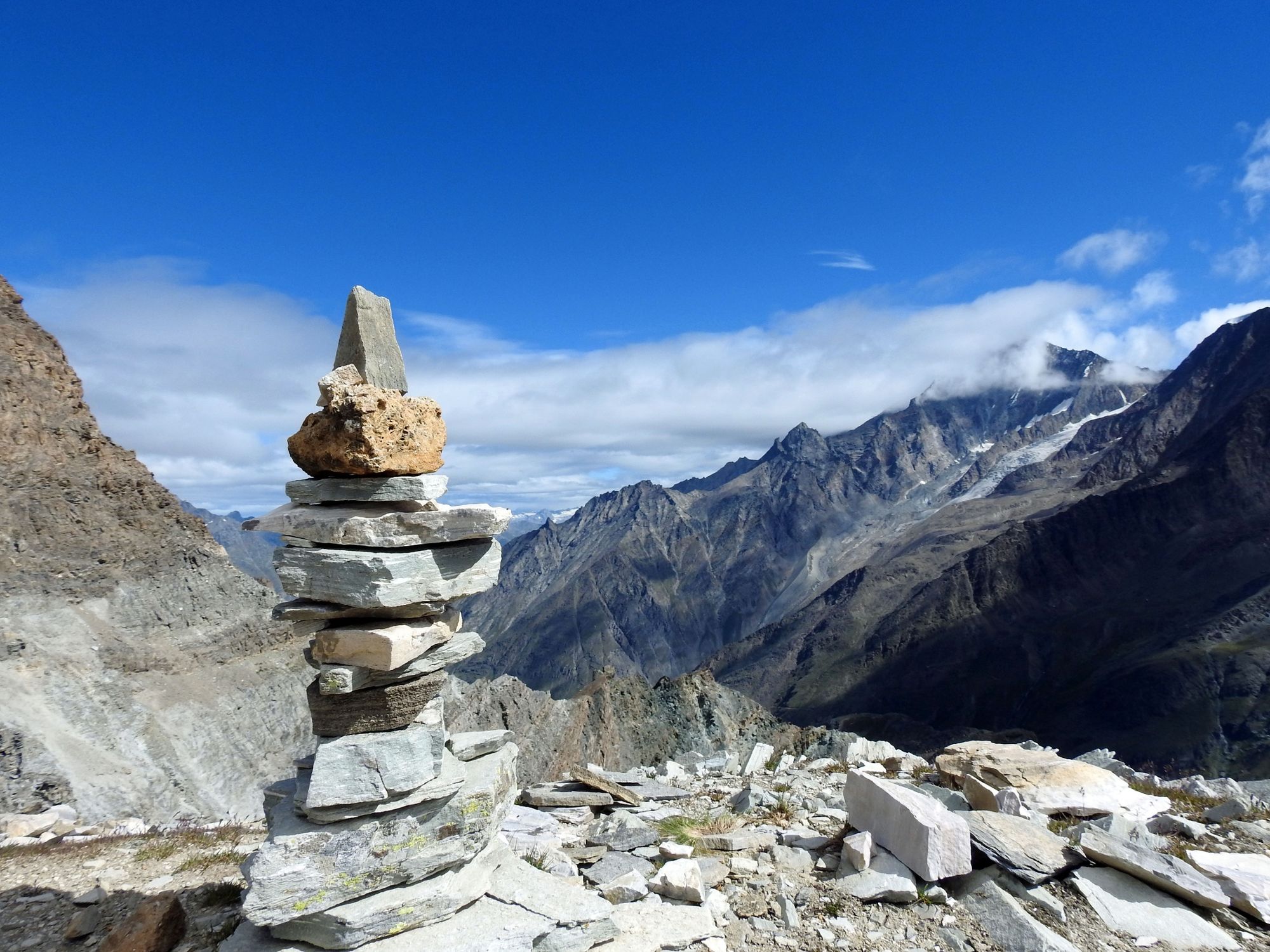
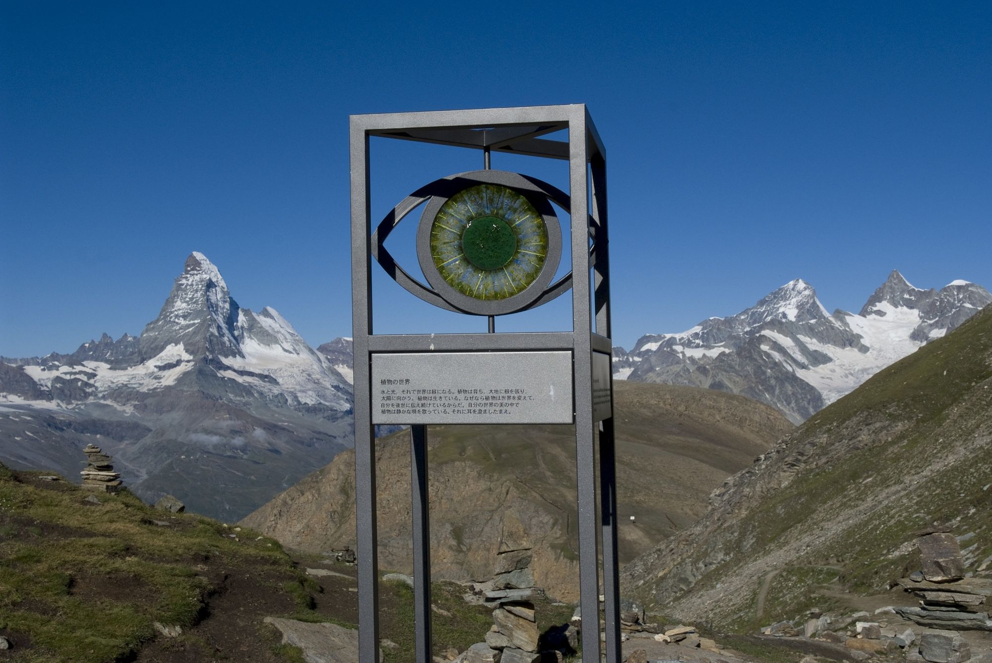
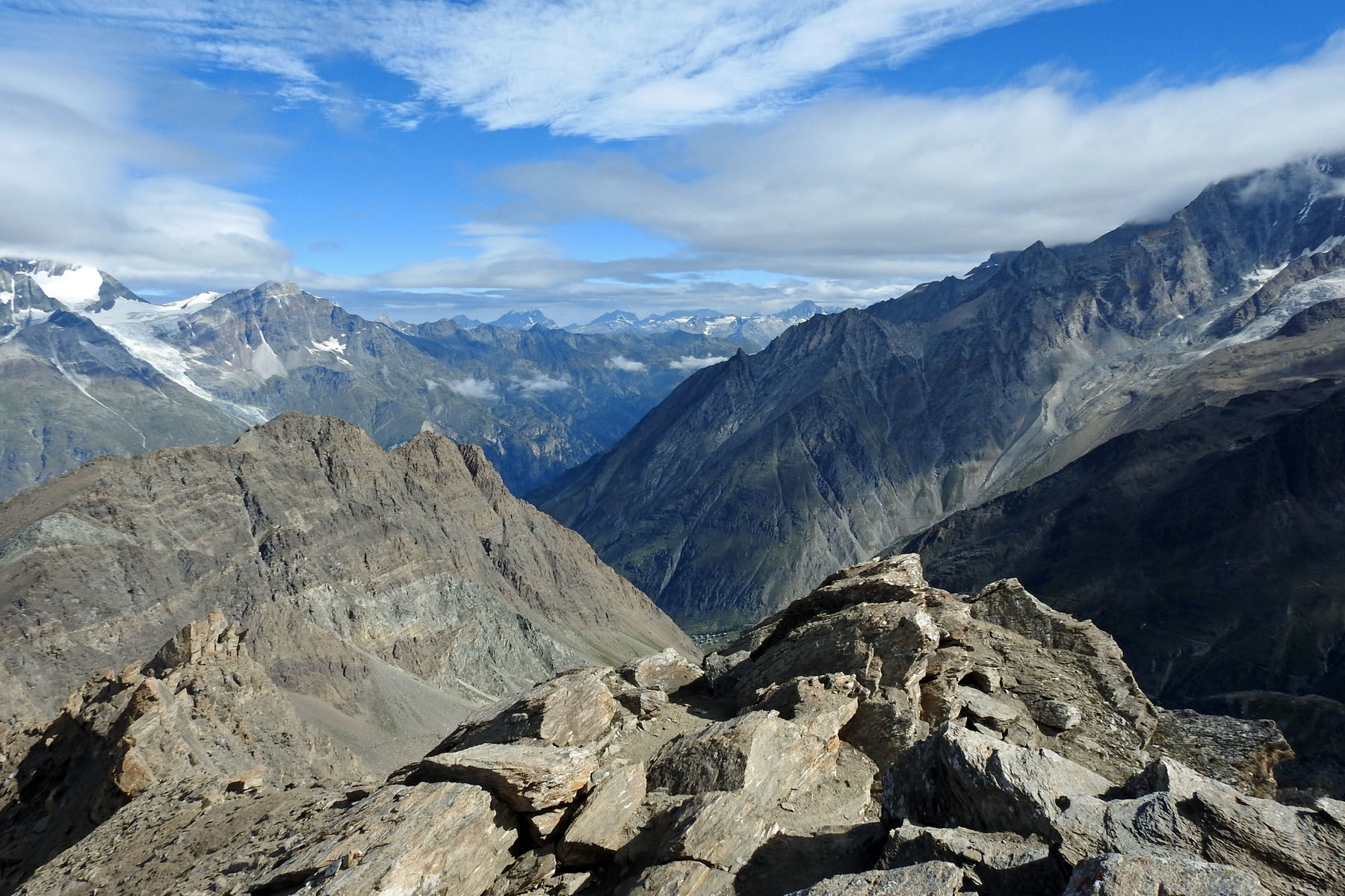
It’s not every day that walkers have the chance to tackle the highest hiking trail in Zermatt (3,415 m). The view of 38 mountains above 4,000 metres is dramatic and inspiring. Along the way, sculptures invite hikers to engage in philosophical contemplation of the mountains all around.
- Vanskelighet
-
vanskelig
- Evaluering
-
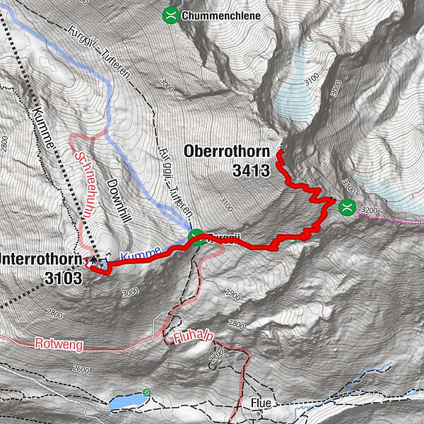
- Rute
-
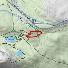
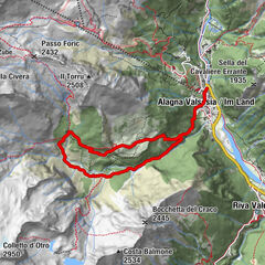
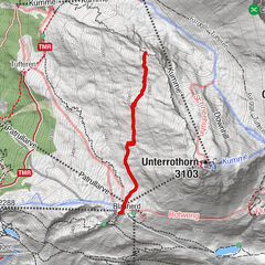
Foto-Spot RothornRothorn0,0 kmOberrothorn (3.413 m)2,9 km
- Beste sesong
-
jan.feb.marsaprilmaijunijuliaug.sep.okt.nov.des.
- Høyeste punkt
- 3.399 m
- Reisemål
-
Oberrothorn (3'415 m)
- Høydeprofil
-
 © outdooractive.com


- Forfatter
-
Turneen Path to Freedom (Nr. 13) brukes av outdooractive.com forutsatt.
GPS Downloads


Generell info
Forfriskningsstopp
Innsidertips
Flora
Lovende
Flere turer i regionene
-
Oberwallis
1872
-
Mattertal
555
-
Täsch
195