
- Kort beskrivelse
-
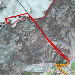
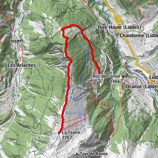
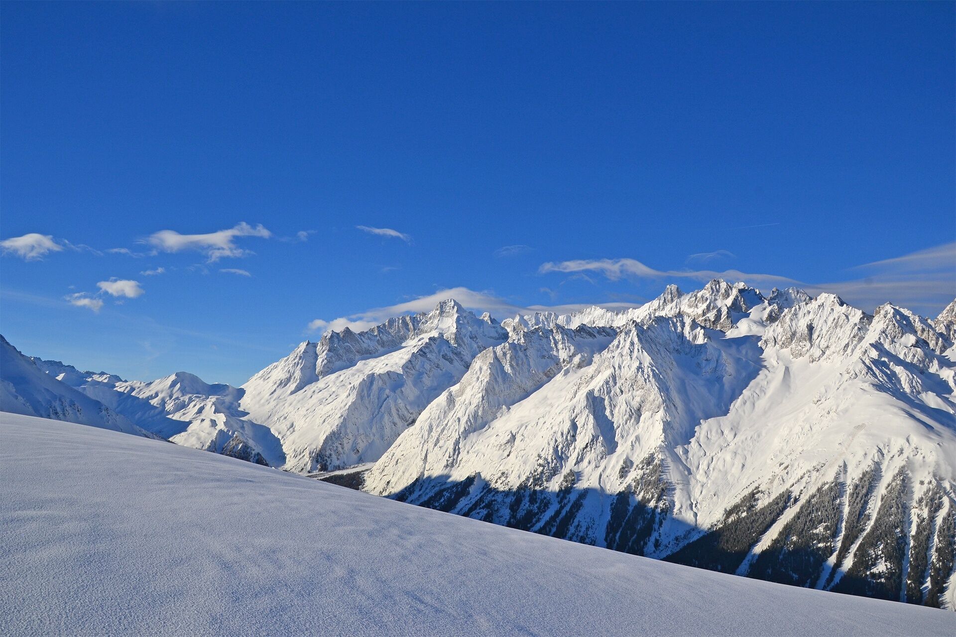
From the forest of Vichères to the ridge between the Entremont Valley and the Val Ferret!
- Vanskelighet
-
middels
- Evaluering
-
- Rute
-
La Tèjere (2.267 m)6,6 km
- Beste sesong
-
aug.sep.okt.nov.des.jan.feb.marsaprilmaijunijuli
- Høyeste punkt
- 2.263 m
- Reisemål
-
Roadside parking spaces
- Høydeprofil
-
 © outdooractive.com
- Forfatter
-
Turneen Rando-parc "Vichères Movement tracks": La Téjeur brukes av outdooractive.com forutsatt.
GPS Downloads


Generell info
Forfriskningsstopp
Lovende
Flere turer i regionene
-
Unterwallis
93
-
Pays du Saint-Bernard
30
-
Orsières
10