

© Alpenregion Bludenz Tourismus GmbH - Martin Caldonazzi

© Alpenregion Bludenz Tourismus GmbH - Martin Caldonazzi

© Alpenregion Bludenz Tourismus GmbH - Martin Caldonazzi

© Alpenregion Bludenz Tourismus GmbH - Melanie Fleisch

© Alpenregion Bludenz Tourismus GmbH - Martin Caldonazzi

© Vorarlberg Tourismus GmbH
- Kort beskrivelse
-
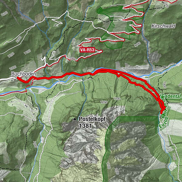
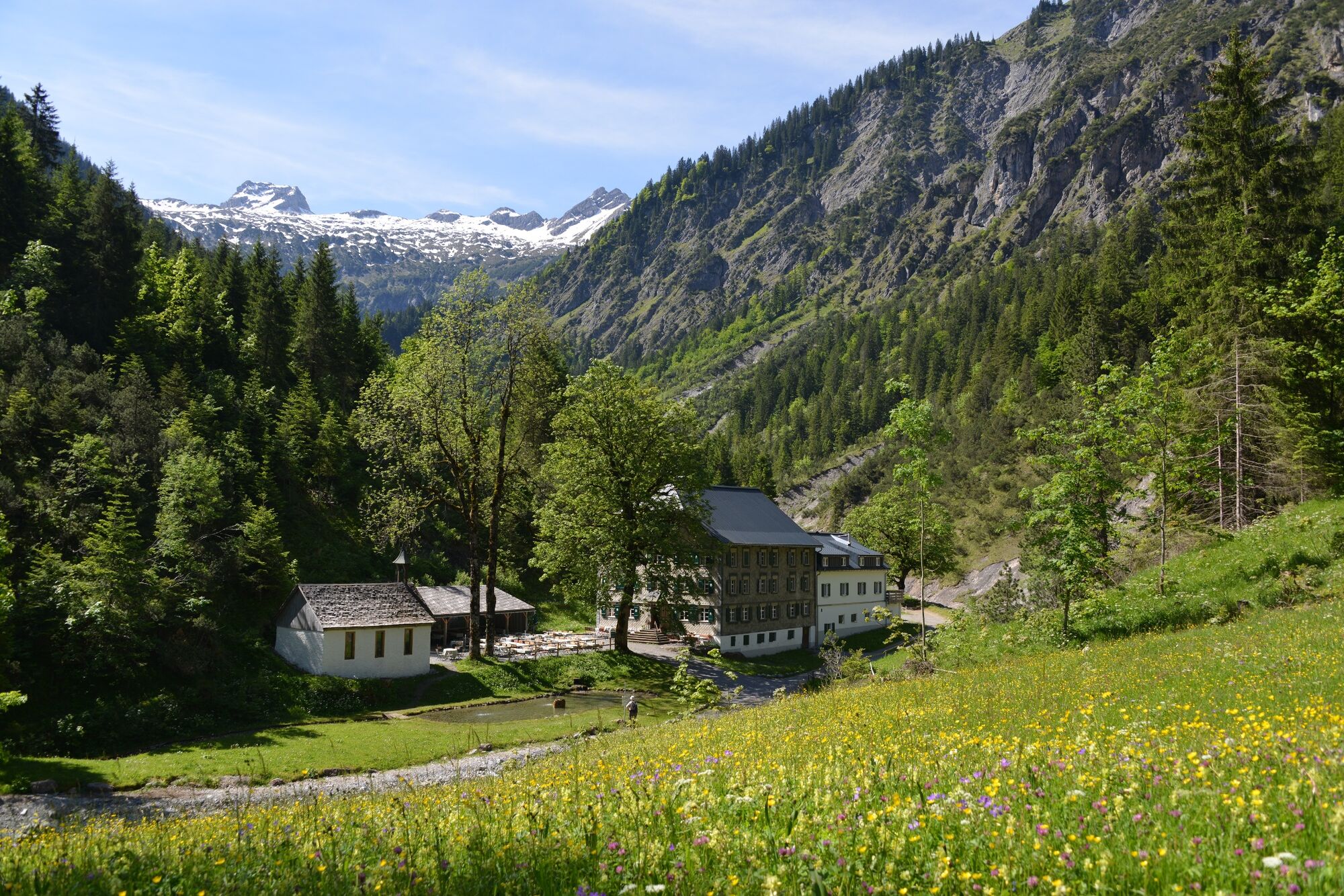
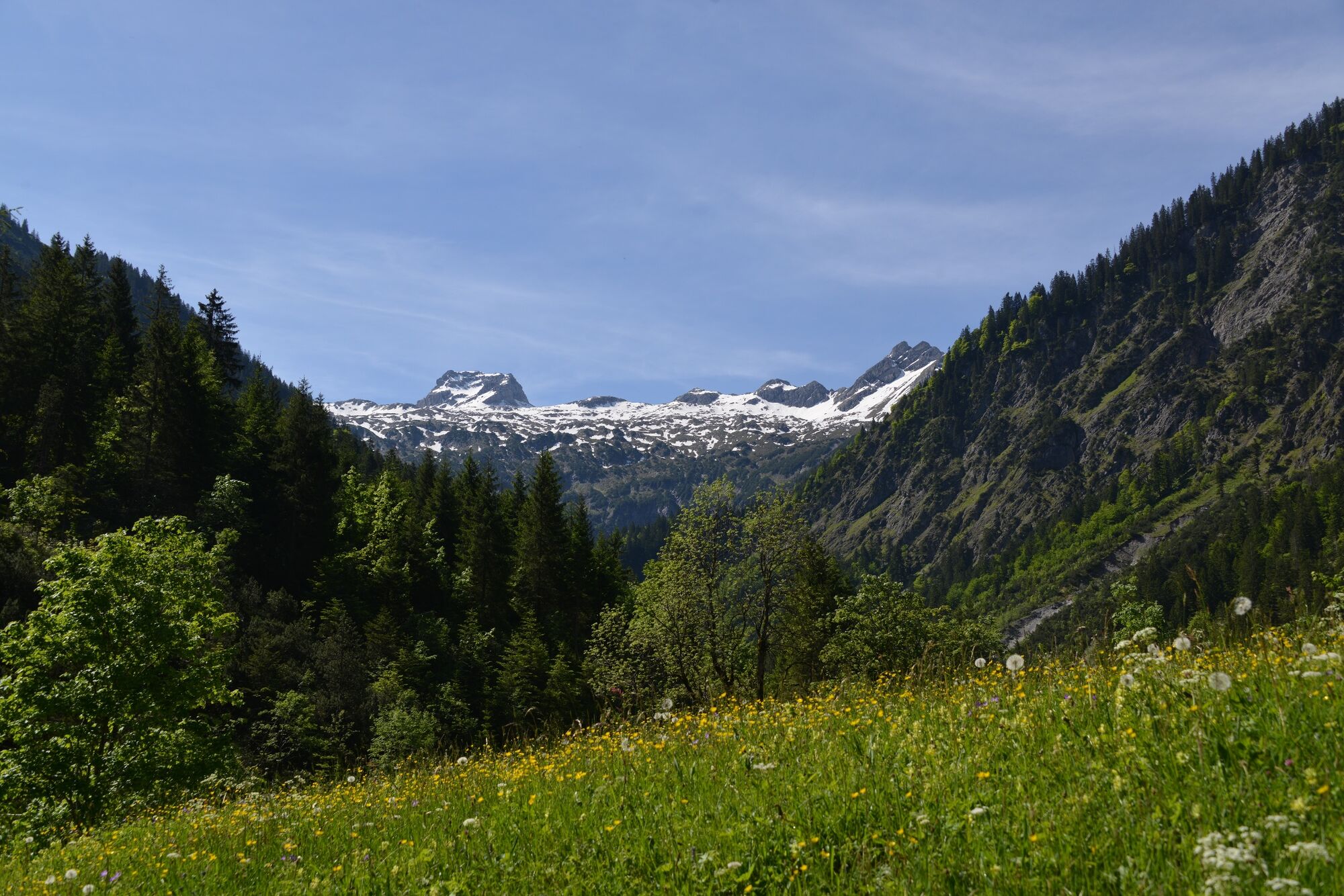
Enjoy the hike into the valley along the stream to the beautifully situated alpine inn Bad Rothenbrunnen in the Gadental valley.
- Vanskelighet
-
lett
- Evaluering
-
- Rute
-
KreuzBuchboden0,1 kmBad Rothenbrunnen2,6 kmMarienkapelle2,6 kmBuchboden5,0 kmKreuz5,1 km
- Beste sesong
-
jan.feb.marsaprilmaijunijuliaug.sep.okt.nov.des.
- Høyeste punkt
- 1.009 m
- Reisemål
-
Church, Sonntag-Buchboden
- Høydeprofil
-


- Forfatter
-
Turneen Bad Rothenbrunnen | Sonntag-Buchboden brukes av outdooractive.com forutsatt.
GPS Downloads


Generell info
Forfriskningsstopp
Kulturell/Historisk
Innsidertips
Lovende
Flere turer i regionene


