

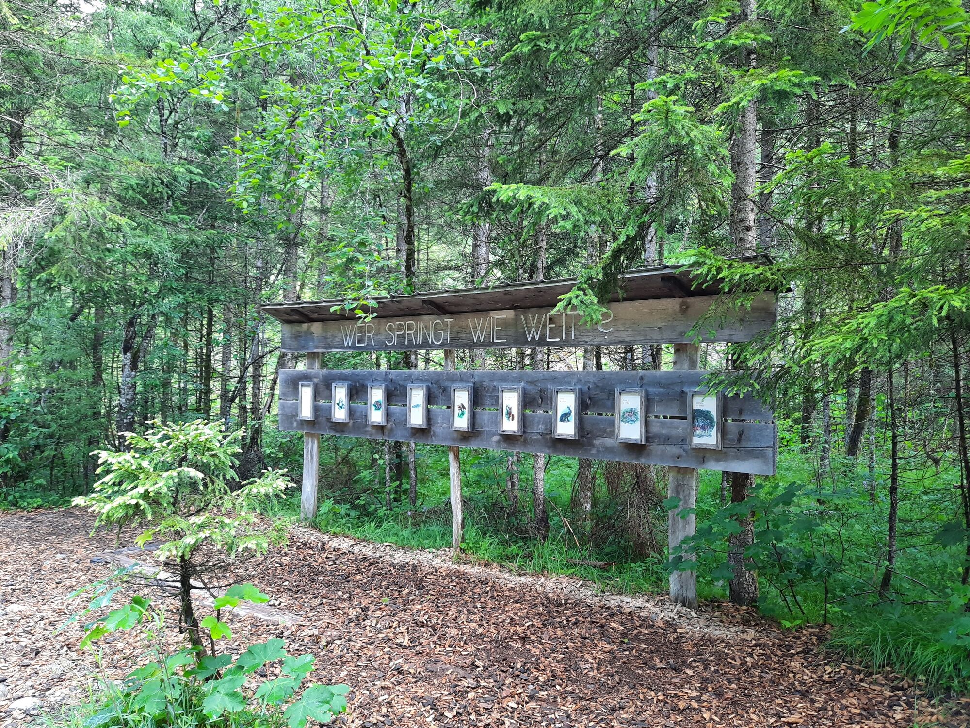
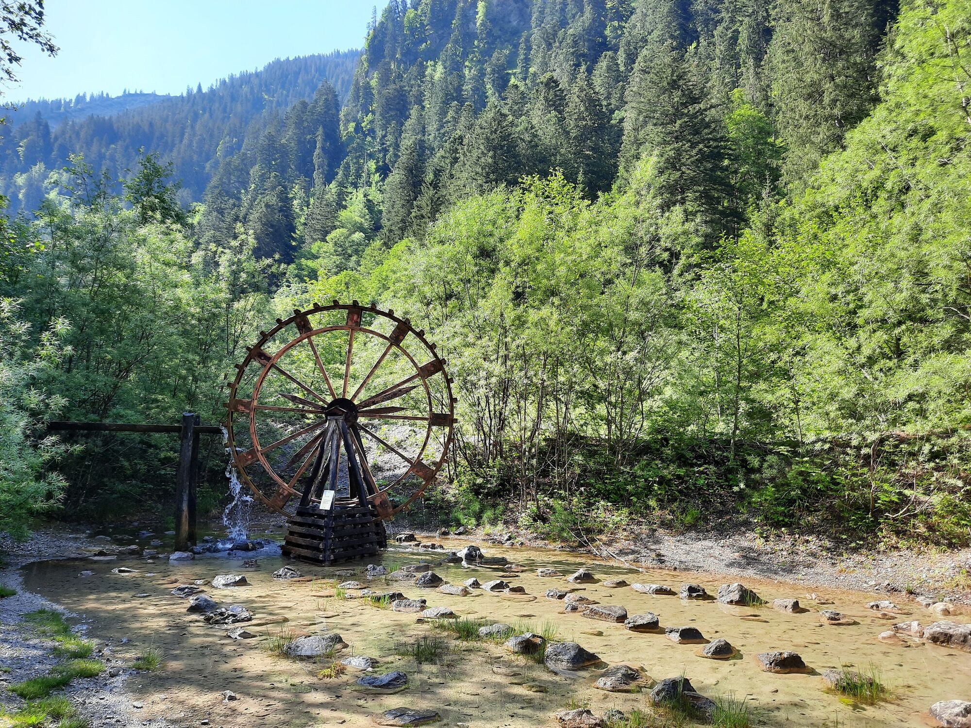
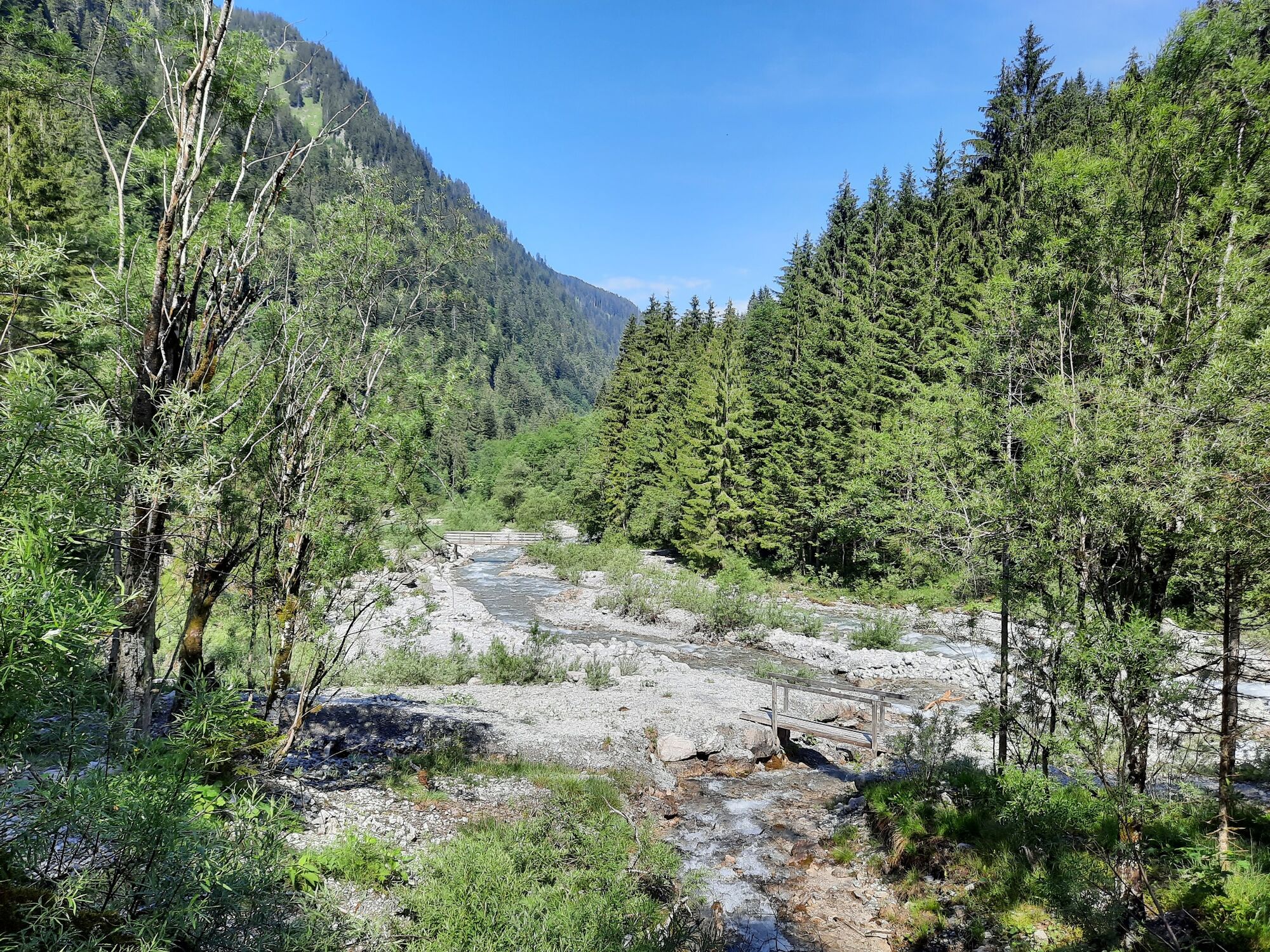
© Alpenregion Bludenz Tourismus GmbH - Melanie Fleisch

© Alpenregion Bludenz Tourismus GmbH - Melanie Fleisch

© Alpenregion Bludenz Tourismus GmbH - Melanie Fleisch

© Alpenregion Bludenz Tourismus GmbH - Melanie Fleisch

© Alpenregion Bludenz Tourismus GmbH - Melanie Fleisch

© Alpenregion Bludenz Tourismus GmbH - Melanie Fleisch

© Alpenregion Bludenz Tourismus GmbH - Melanie Fleisch

© Vorarlberg Tourismus GmbH
- Kort beskrivelse
-
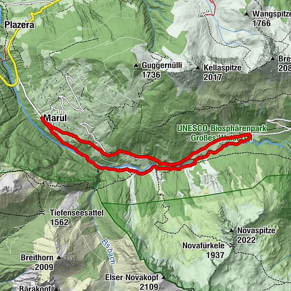
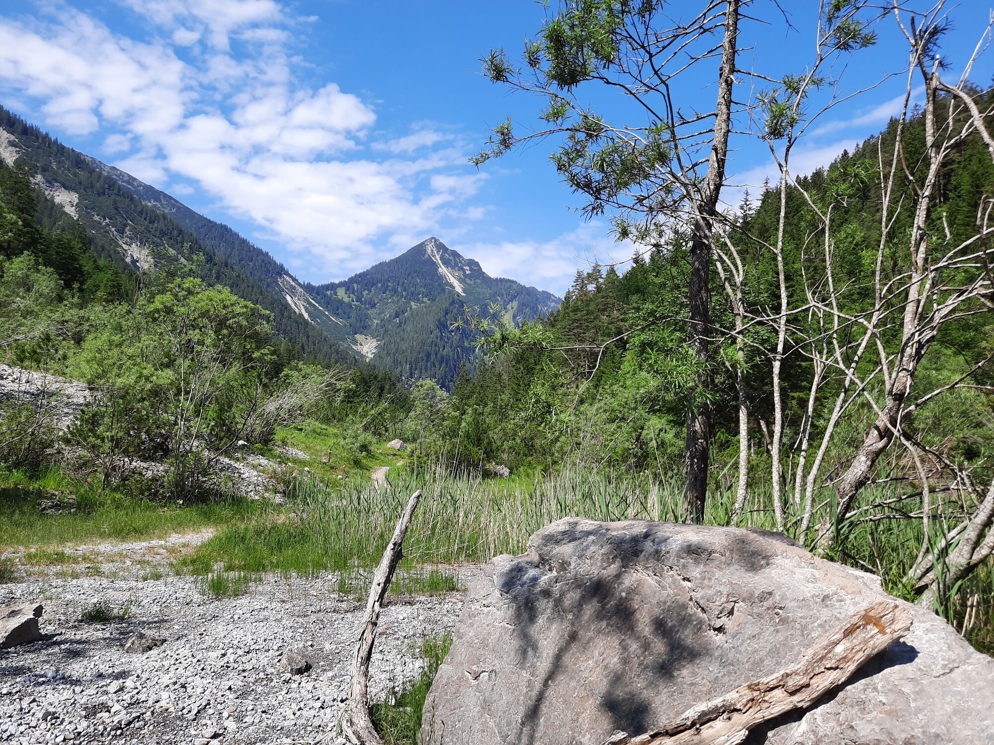
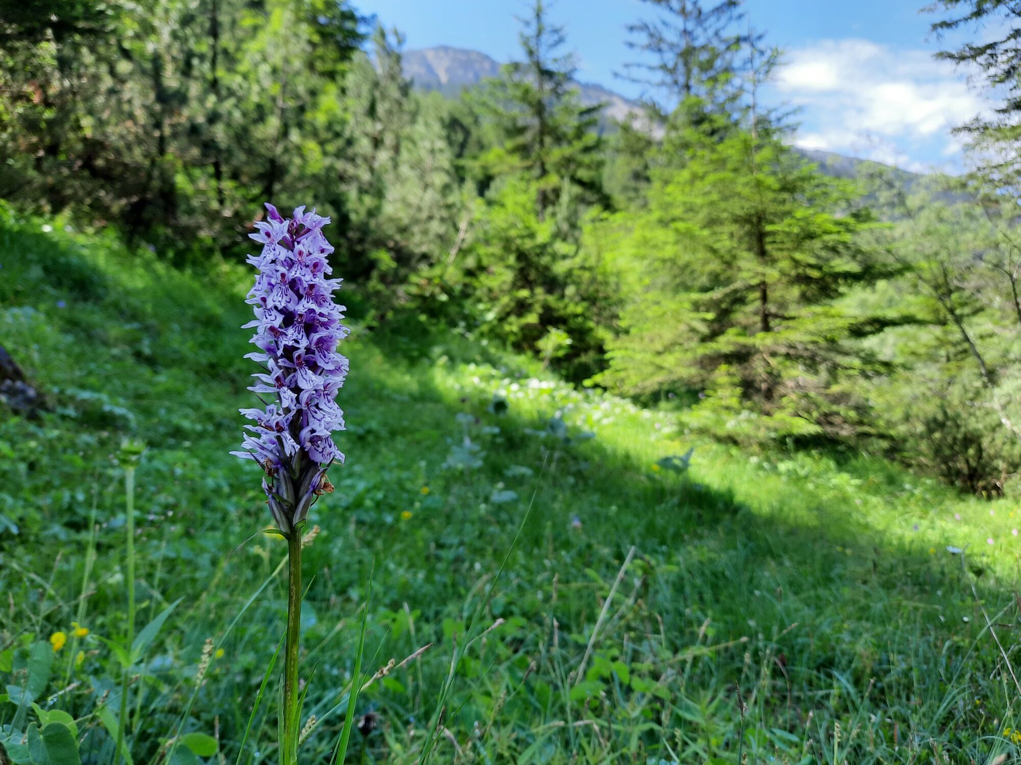
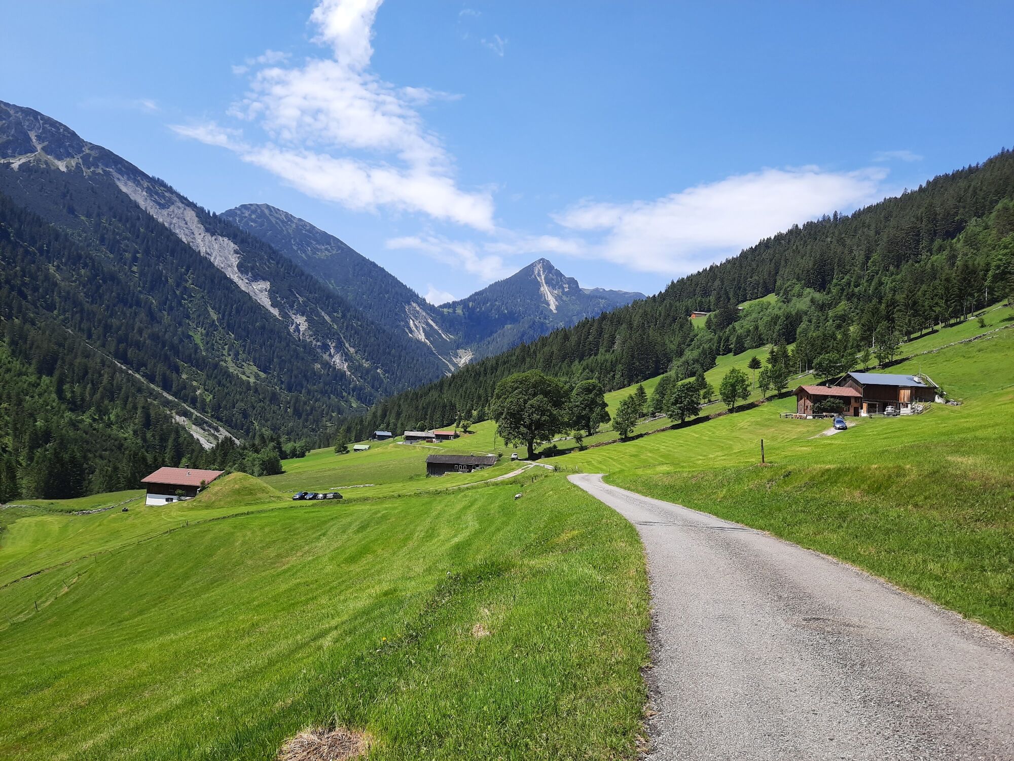
Natural hike along the Marulbach stream to the Fuchswaldalpe.
- Vanskelighet
-
lett
- Evaluering
-
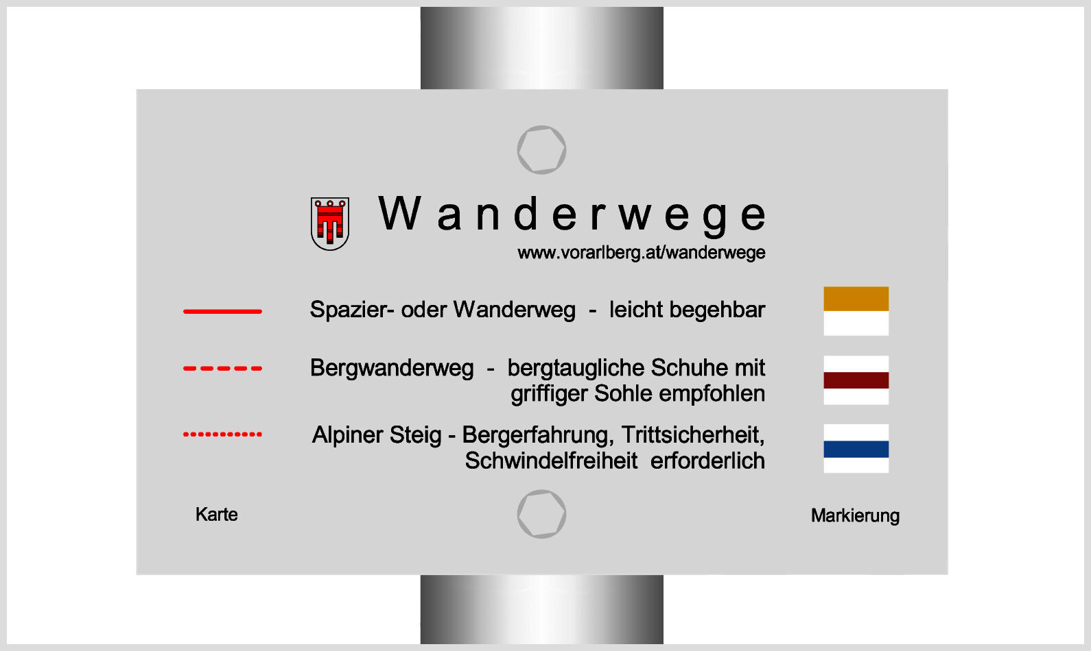
- Rute
-
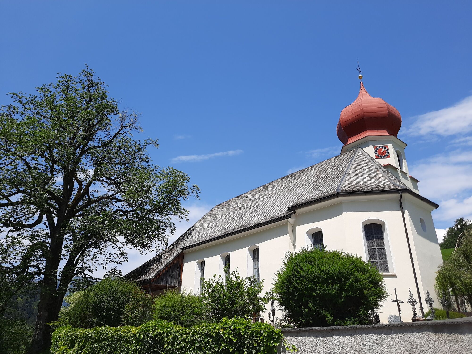
St. Katharina0,0 kmMarul0,2 kmHubertuskapelle7,2 kmGasthaus Walserklause Marul8,4 kmMarul8,4 kmSt. Katharina8,6 km
- Beste sesong
-
jan.feb.marsaprilmaijunijuliaug.sep.okt.nov.des.
- Høyeste punkt
- 1.127 m
- Reisemål
-
Hiking parking lot, Marul
- Høydeprofil
-

- Forfatter
-
Turneen Along the Marulbach to the Fuchswaldalpe | Raggal-Marul brukes av outdooractive.com forutsatt.
GPS Downloads


Generell info
Lovende
Flere turer i regionene


