

© Bodensee-Vorarlberg Tourismus GmbH - Erich Zucchali / www.guideservice.at

© w - Erich Zucalli

© www.guideservice.at - Erich Zucalli

© www.guideservice.at - Erich Zucalli

© www.guideservice.at - Erich Zucalli

© www.guideservice.at - Erich Zucalli

© www.guideservice.at - Erich Zucalli

© www.guideservice.at - Erich Zucalli

© www.guideservice.at - Erich Zucalli

© www.guideservice.at - Erich Zucalli

- Kort beskrivelse
-
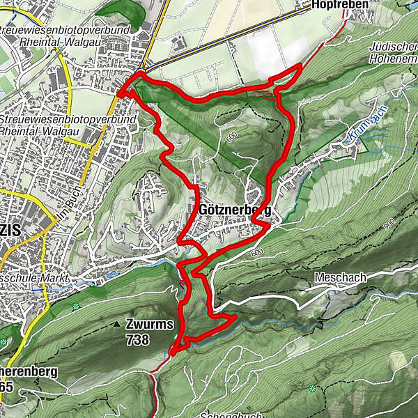
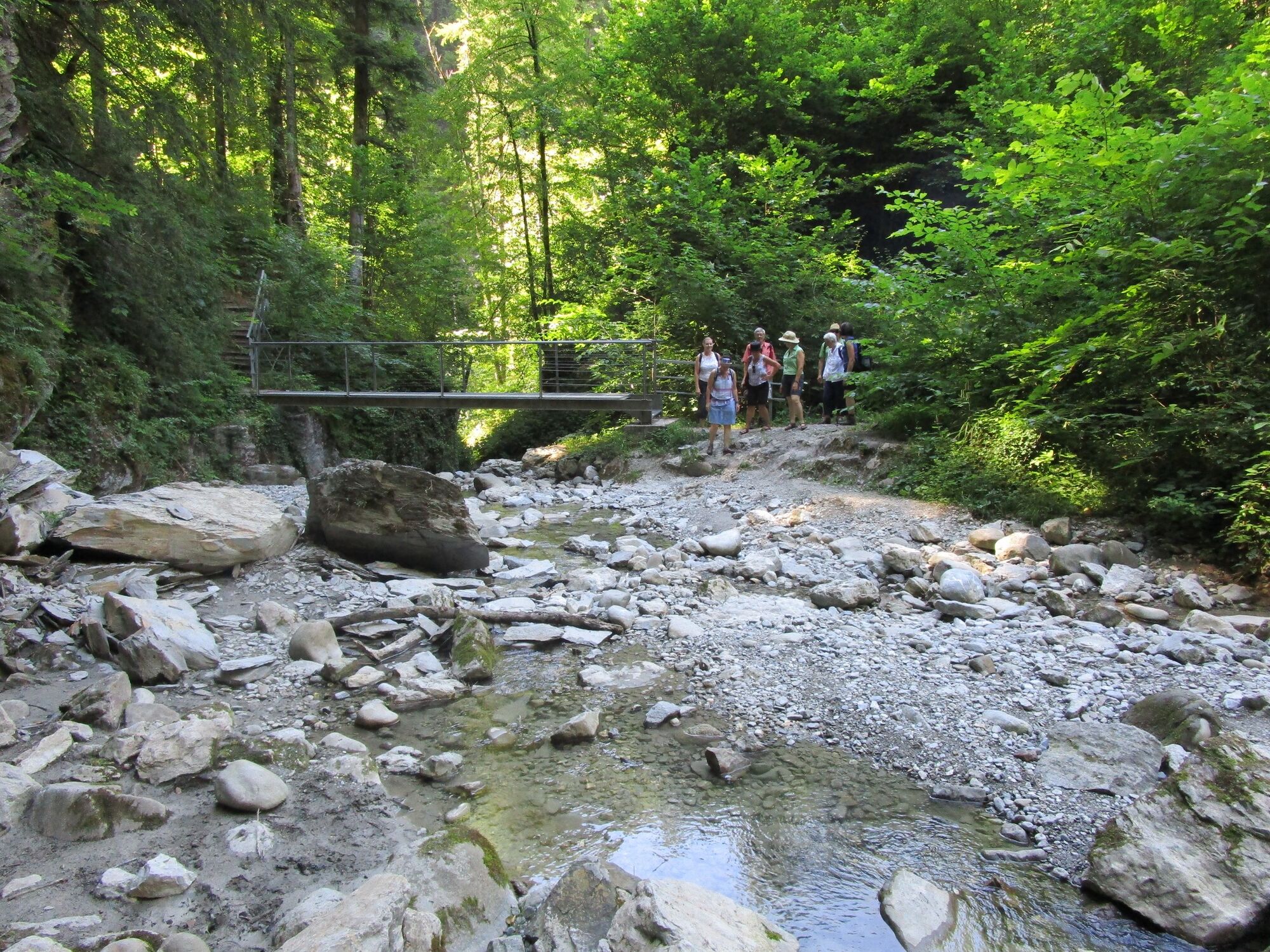
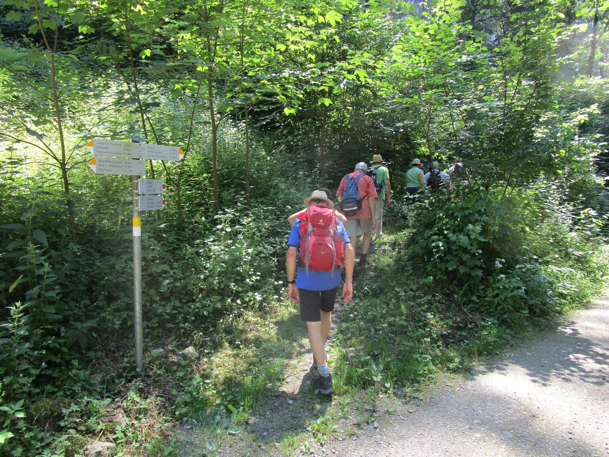
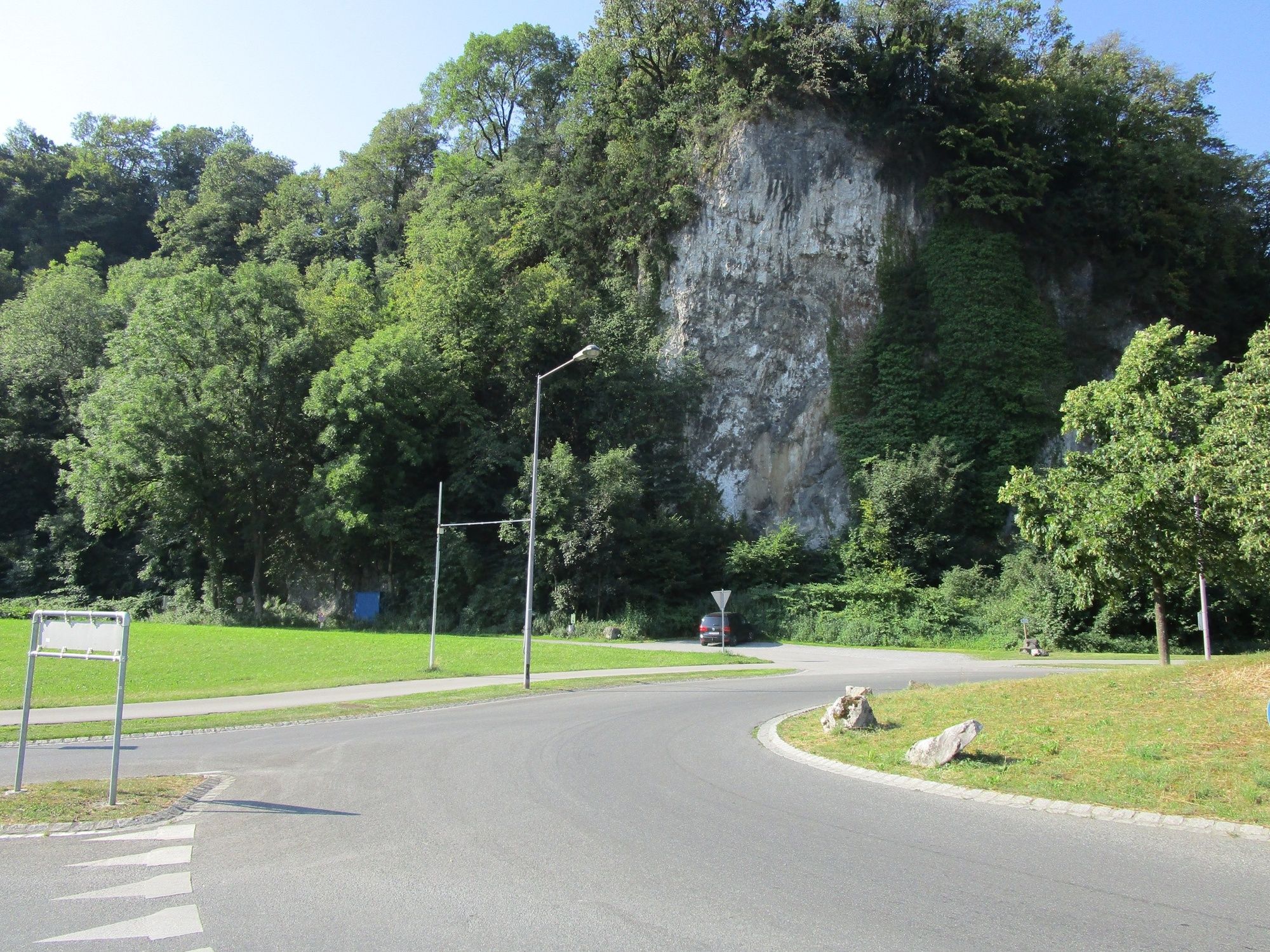
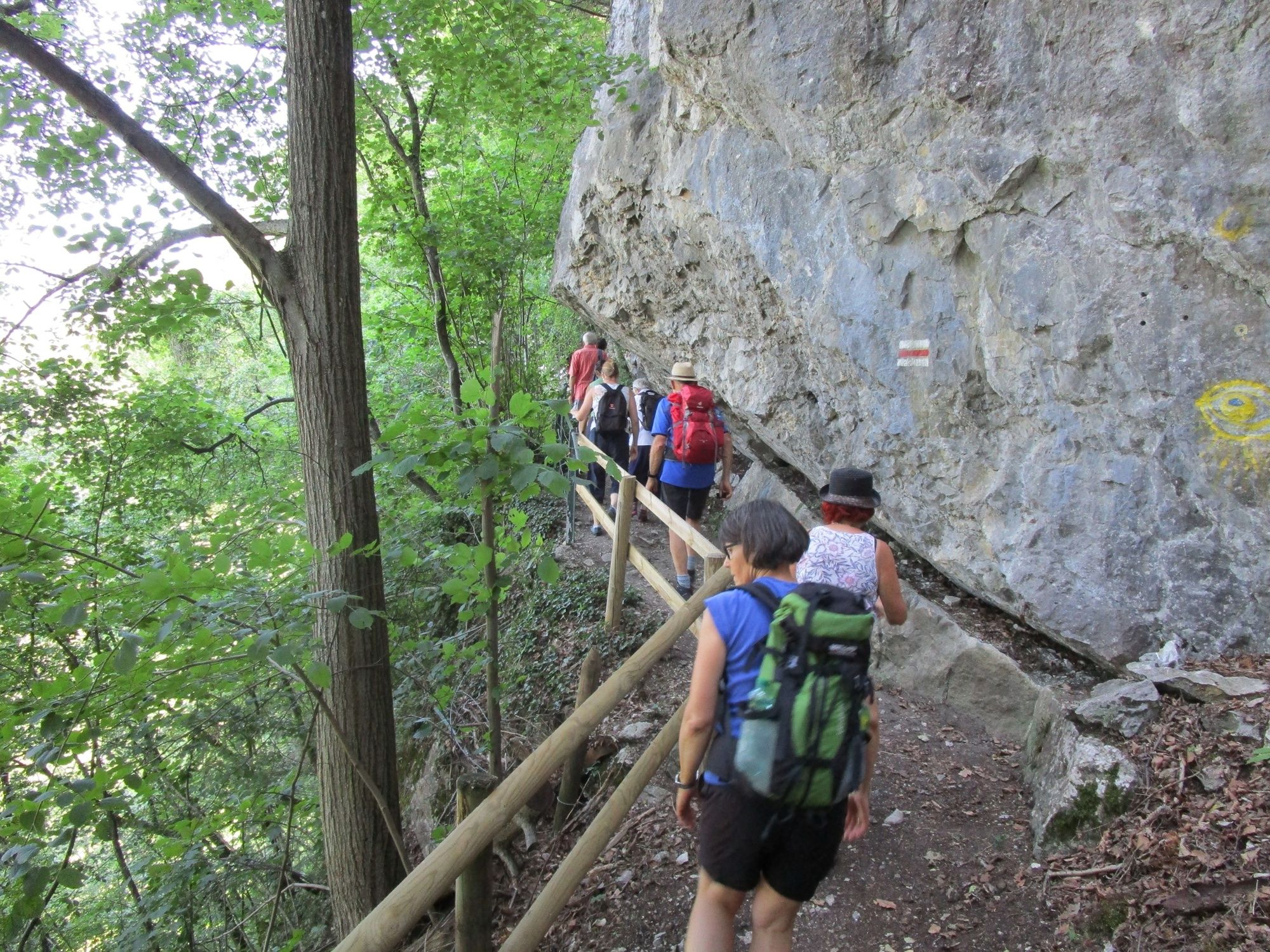
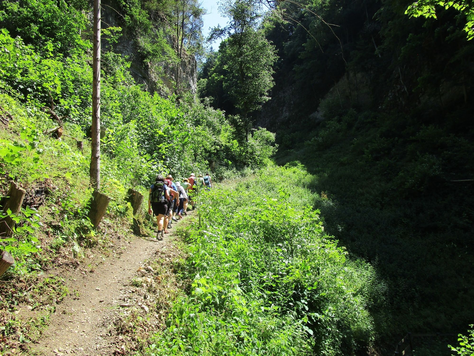
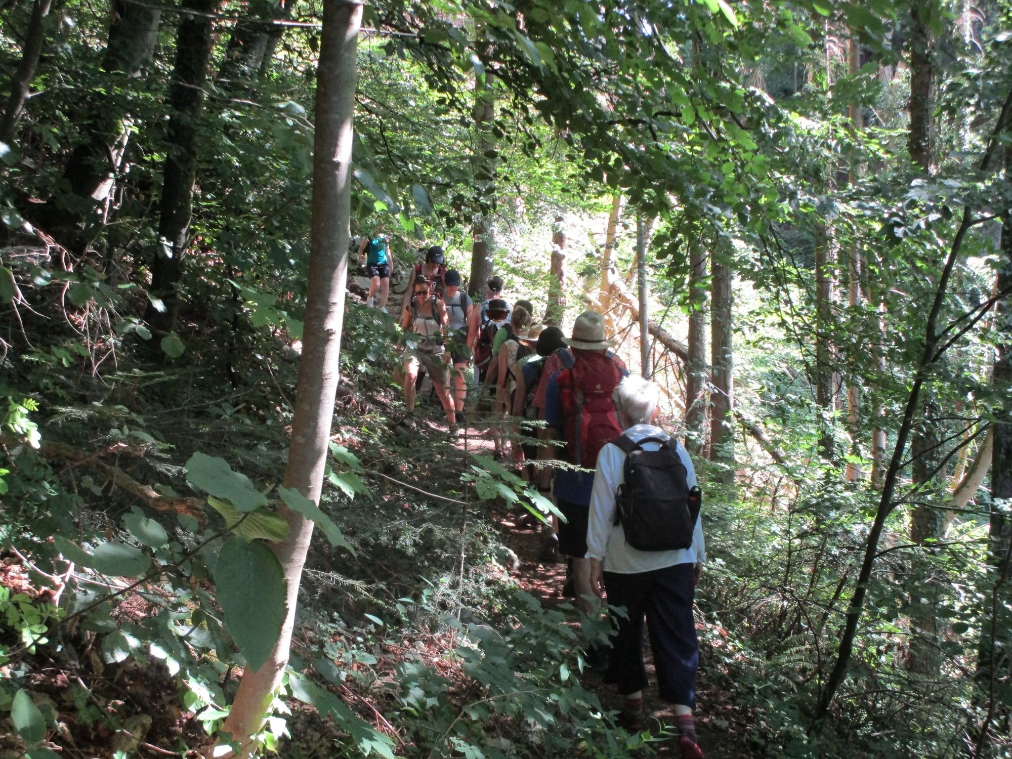
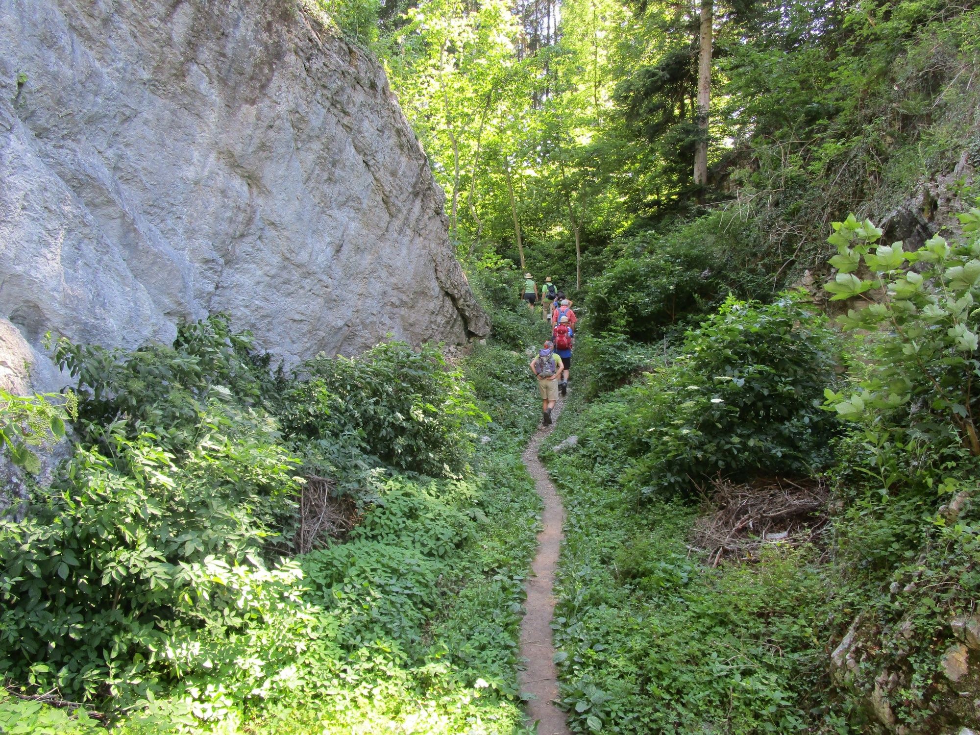
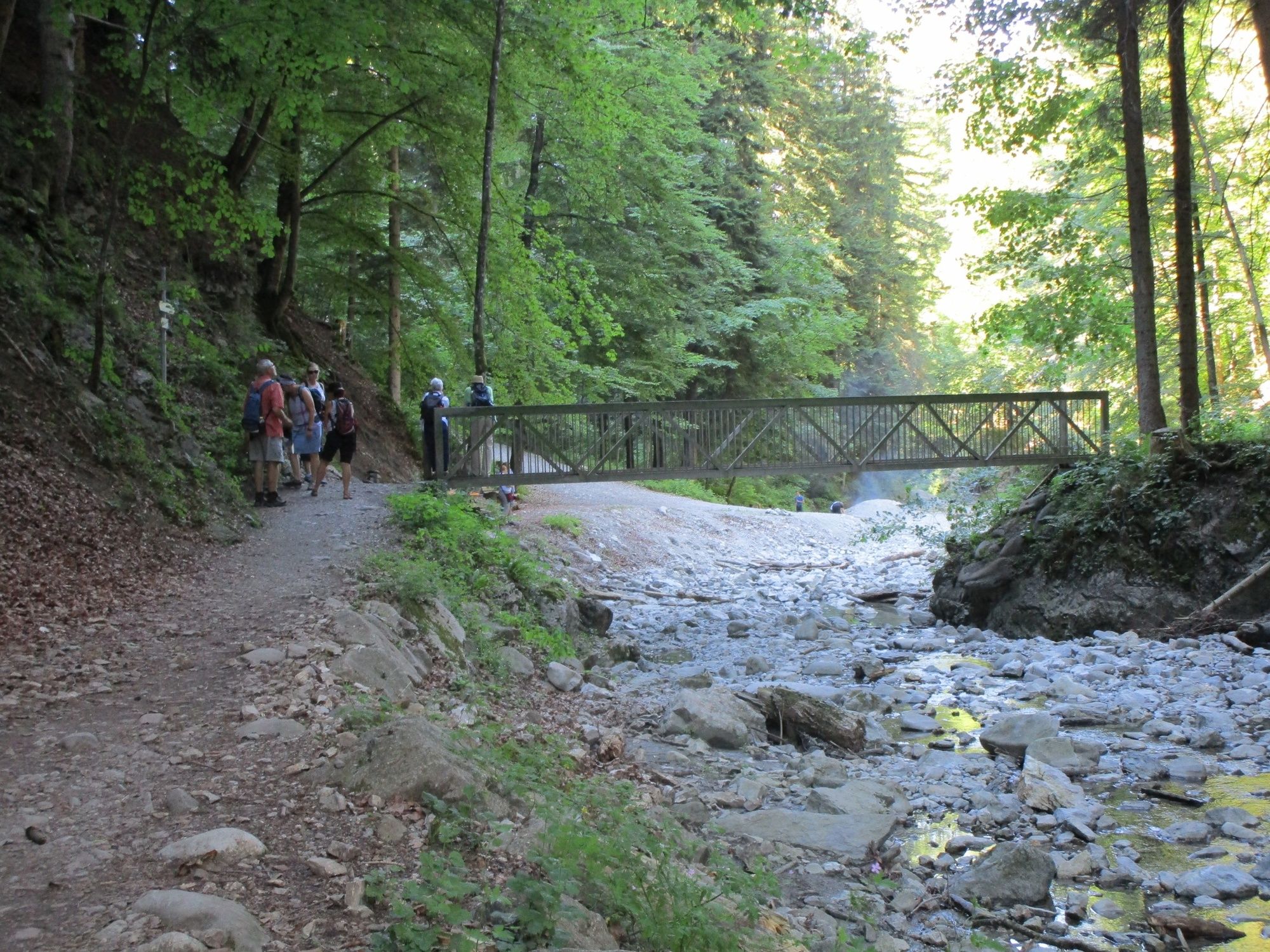
A hike into the past: across the Ur-Ill’s gorge created at the edges of the ice and the Fallenkobelweg to the Örflaschlucht (gorge). Back up to Rütte to return along the Lusbühlweg to the starting point, the Kobel.
- Vanskelighet
-
lett
- Evaluering
-
- Rute
-
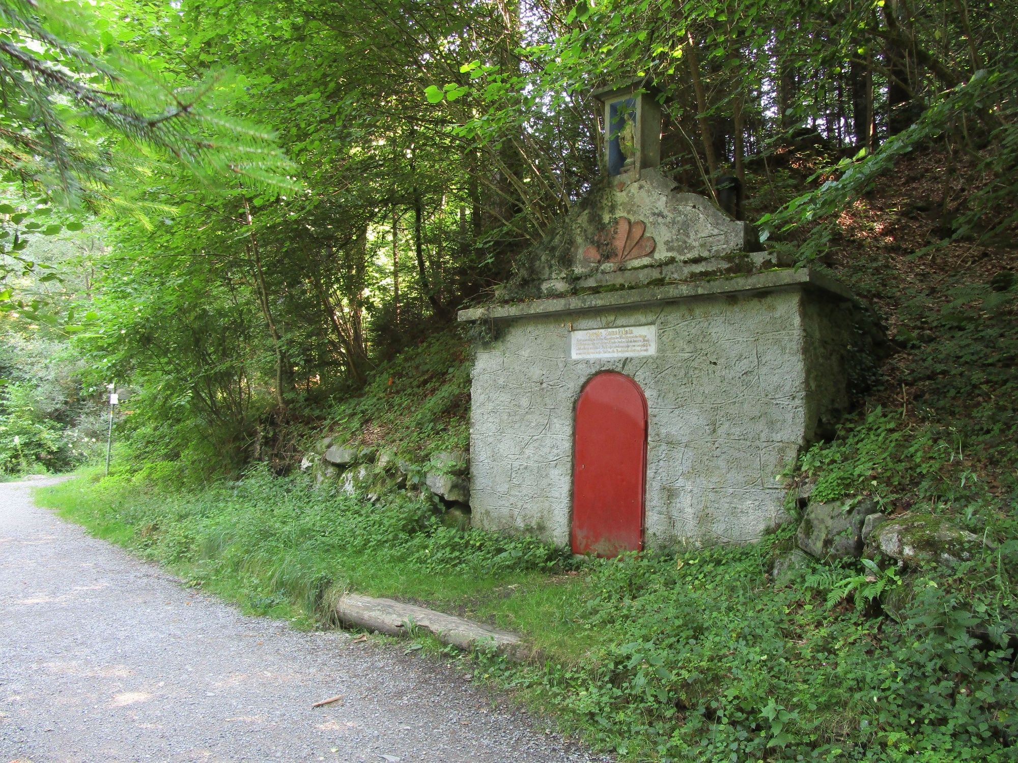
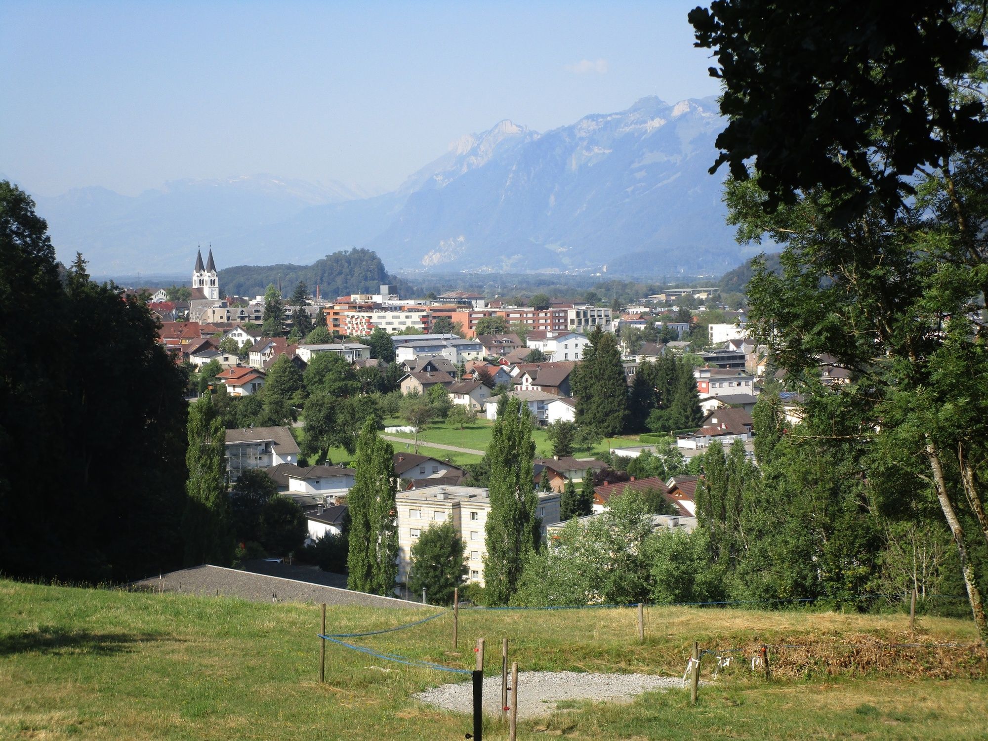
Götznerberg2,2 kmÖrflaschlucht4,1 kmQuelle Inmakulata4,6 kmGötzis (448 m)5,7 kmKobel Kapelle6,4 km
- Beste sesong
-
jan.feb.marsaprilmaijunijuliaug.sep.okt.nov.des.
- Høyeste punkt
- 626 m
- Reisemål
-
Parking place Kobel
- Høydeprofil
-


- Forfatter
-
Turneen Götzis and the gorges of the Ice Age brukes av outdooractive.com forutsatt.
GPS Downloads


Generell info
Kulturell/Historisk
Flere turer i regionene
-
St. Gallen - Bodensee
2066
-
St. Galler Rheintal
1333
-
Götzis
348


