
© Damüls - Faschina Tourismus - Matthias Greilach

- Kort beskrivelse
-
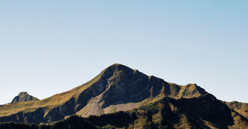
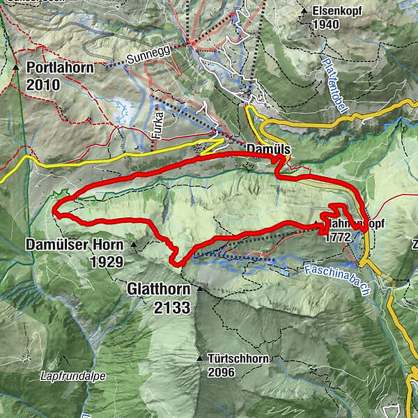
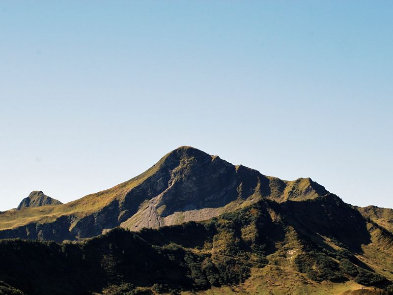
Faschinajoch - Hahnenkopf - Bergstation Glatthornbahn - Alpe Unterdamüls - Damüls Kirchdorf - Faschinajoch
- Vanskelighet
-
middels
- Evaluering
-
- Rute
-
Faschina0,1 kmHahnenkopf (1.772 m)1,7 kmAlpe Unterdamüls5,9 kmDamüls (1.423 m)8,9 kmFaschina11,0 km
- Beste sesong
-
jan.feb.marsaprilmaijunijuliaug.sep.okt.nov.des.
- Høyeste punkt
- 1.979 m
- Reisemål
-
Faschinajoch
- Høydeprofil
-

- Forfatter
-
Turneen Damüls-Faschina | Rundtour Faschina-Damüls-Faschina brukes av outdooractive.com forutsatt.
GPS Downloads


Generell info
Forfriskningsstopp
Flora
Flere turer i regionene
-
St. Gallen - Bodensee
2066
-
Biosphärenpark Großes Walsertal
2008
-
Damüls
576


