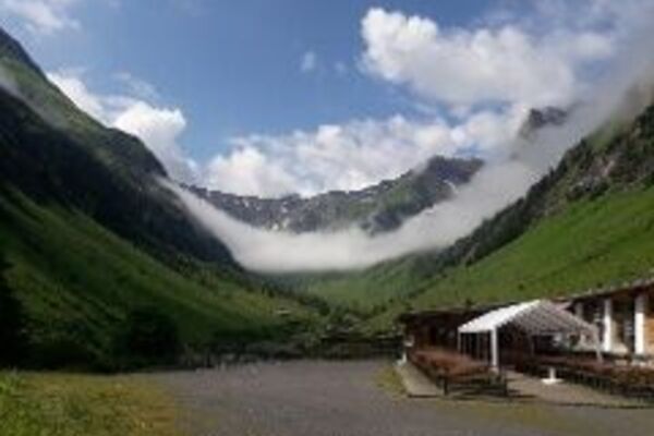
© Warth-Schröcken Tourismus - Sebastian Stiphout

- Kort beskrivelse
-
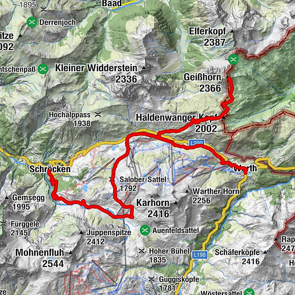
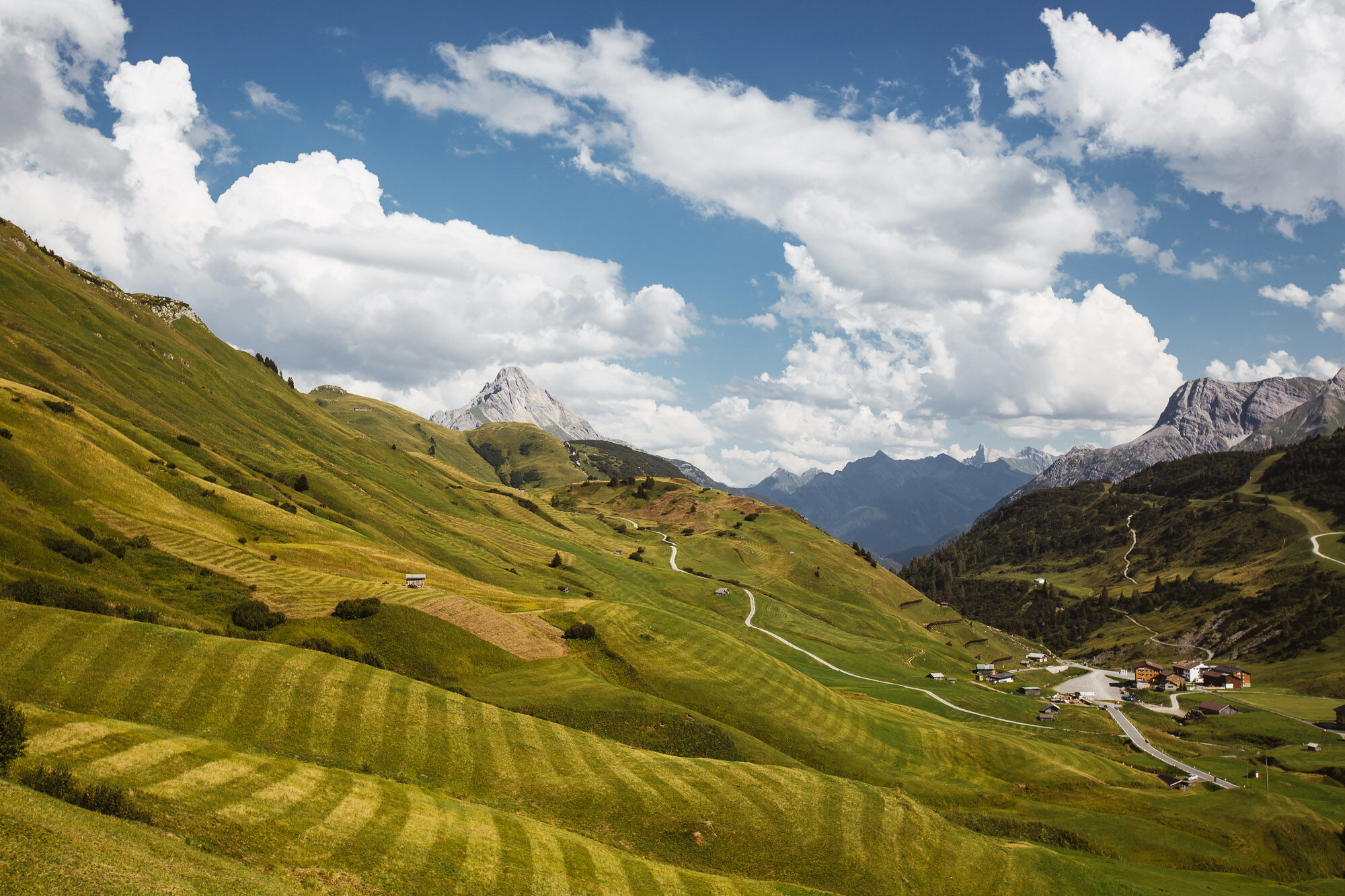
In Warth at the village square you start in the direction to the plot Wolfegg, from where you get on the way steeply up to the junction Alte Salzstraße. Via the Alte Salzstraße, a somewhat narrow path, you reach the Jägeralpe. Continue your bike ride over fairytale-like terrain over the Tschirggen towards Hirschgehrenalpe. You crossed the first stream? Now it goes by foot left up the steep path until it becomes a little flatter again. Just take a short break here, before the path turns left again towards Koblathütte. (not run) Here again follow the left turnoff and take the medium-difficult but panoramic hiking trail to the summit of the Geißhorn. The way back to the bike is the same. With your mountain bike, you can now comfortably descend over the Tschirggen until you have returned to the main road. Here it goes up to the Hochtannbergpass. Follow the signs for Salobersattel. Now it goes steadily downhill through the floodplain to Schröcken.
The tour can of course also be started in Schröcken.
- Vanskelighet
-
vanskelig
- Evaluering
-
- Rute
-
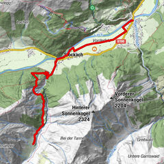
Warth (1.495 m)0,1 kmPfarrkirche St. Sebastian0,4 kmKitzeliftle0,7 kmWolfegg1,4 kmHolzbodenalpe2,8 kmJägeralpe3,6 kmSennkuchl3,6 kmHochkrumbach4,0 kmKoblat-Pass (2.041 m)8,4 kmGeißhorn (2.366 m)9,1 kmHochkrumbach14,1 kmAlpekörb15,5 kmSB-Restaurant Salober15,7 kmS115,9 kmSalober-Sattel (1.792 m)17,2 kmAuenfelder Hütte18,2 kmObere Auenfeld Alpe (1.732 m)18,7 kmMaterialseilbahn Körbersee24,5 kmSchröcken (1.269 m)24,7 kmTannberg24,8 km
- Beste sesong
-
jan.feb.marsaprilmaijunijuliaug.sep.okt.nov.des.
- Høyeste punkt
- 2.326 m
- Reisemål
-
Village square Warth/Village square Schröcken
- Høydeprofil
-

-

-
ForfatterTurneen Bike & Hike Geißhorn (2.366 m) brukes av outdooractive.com forutsatt.
GPS Downloads


Generell info
Innsidertips
Lovende
Flere turer i regionene