

© North Lake Garda Trentino - Foto archivio Provincia Autonoma di Trento di Nicola Angeli fotografo

© North Lake Garda Trentino

© North Lake Garda Trentino - Archivio APT Garda Trentino (ph. Fabio Staropoli)

© North Lake Garda Trentino - Archivio APT Garda Trentino

© Outdooractive – 3D Videos

- Kort beskrivelse
-
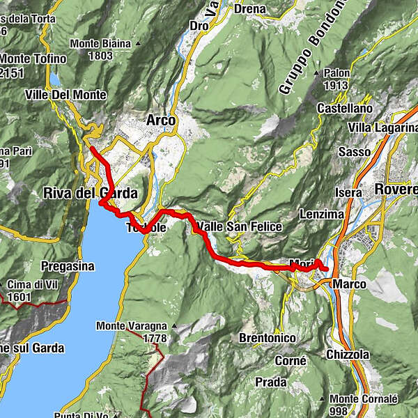
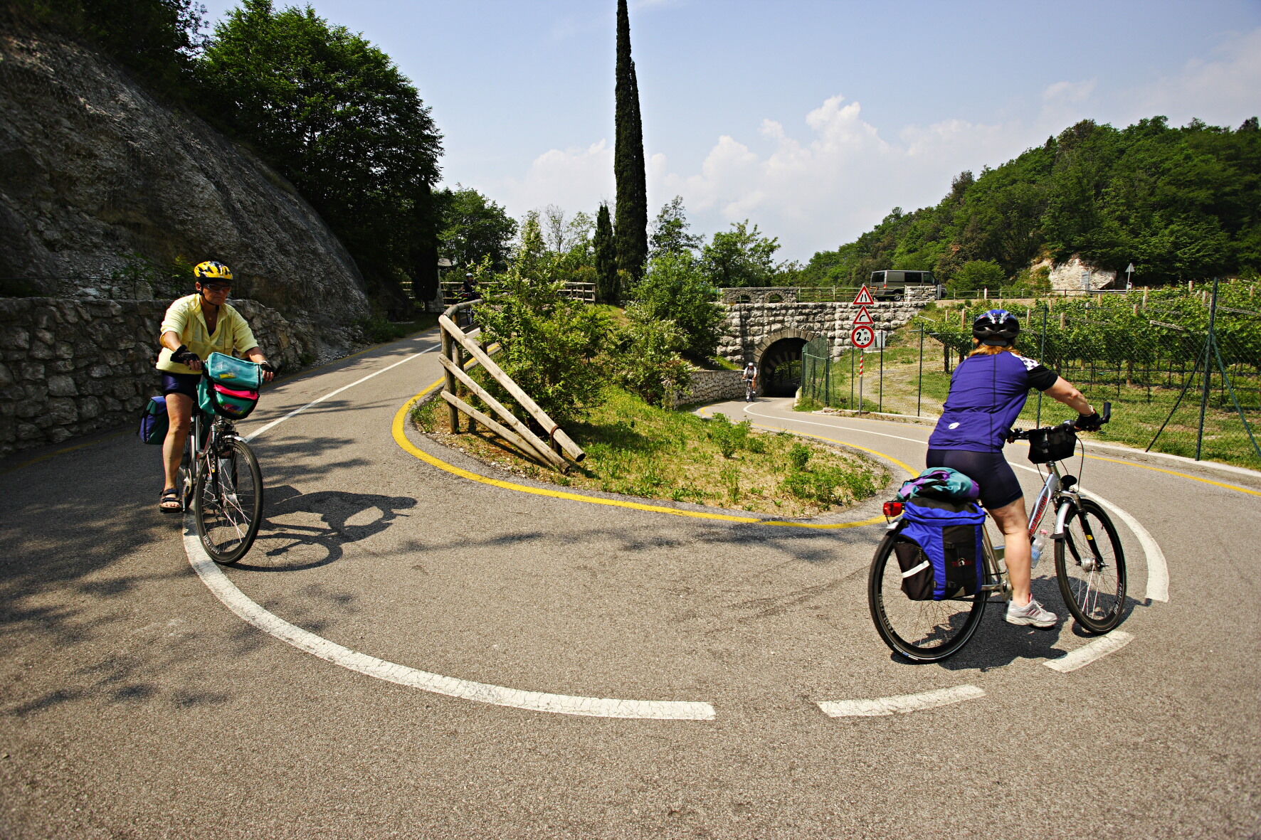
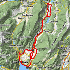
Itinerary along the cycle path which links Vallagarina (in particular, Mori ) to Torbole sul Garda: an easy route and one of the most popular in Trentino.
- Vanskelighet
-
lett
- Evaluering
-
- Rute
-
Seghe II0,2 kmMori1,9 kmSant'Antonio (224 m)5,3 kmLoppio5,9 kmMaso dello speck6,0 kmSantissimo Nome di Maria6,2 kmAquais10,4 kmSan Rocco10,7 kmNago11,0 kmVal del Molin11,1 kmQuartiere Europa11,7 kmTorbole12,3 kmChiesa di Sant'Andrea12,7 kmSeghe13,0 kmChiesa di Santa Maria al Lago13,1 kmPurfina15,6 kmRiva del Garda16,4 kmVarone19,7 km
- Beste sesong
-
jan.feb.marsaprilmaijunijuliaug.sep.okt.nov.des.
- Høyeste punkt
- 274 m
- Reisemål
-
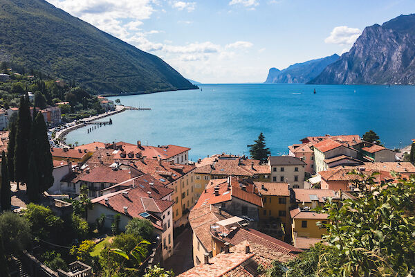
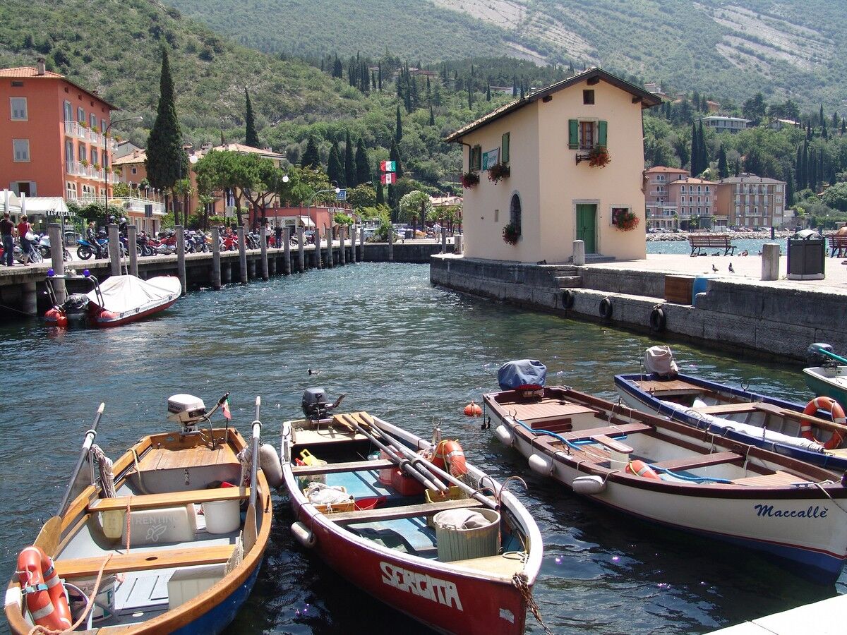
Torbole sul Garda
- Høydeprofil
-
 © outdooractive.com
-
-
ForfatterTurneen Ciclabile Adige - Garda cycle path brukes av outdooractive.com forutsatt.
GPS Downloads


Generell info
Forfriskningsstopp
Kulturell/Historisk
Innsidertips
Flora
Lovende
Flere turer i regionene
")
")

")


