© APT Trento - Andrea Monticelli

© APT Trento - Responsabile Ufficio Altopiano di Piné SS

© Unbekannt

© APT Trento - Responsabile Ufficio Altopiano di Piné SS

© APT Trento - Responsabile Ufficio Altopiano di Piné SS

© APT Trento - Responsabile Ufficio Altopiano di Piné SS

© APT Trento - Responsabile Ufficio Altopiano di Piné SS

© APT Trento - Responsabile Ufficio Altopiano di Piné SS

© APT Trento - Responsabile Ufficio Altopiano di Piné SS

© APT Trento - Responsabile Ufficio Altopiano di Piné SS

- Kort beskrivelse
-
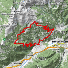
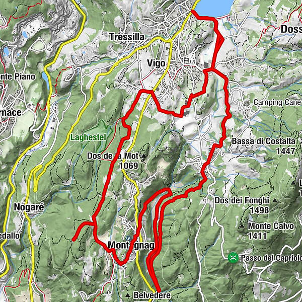
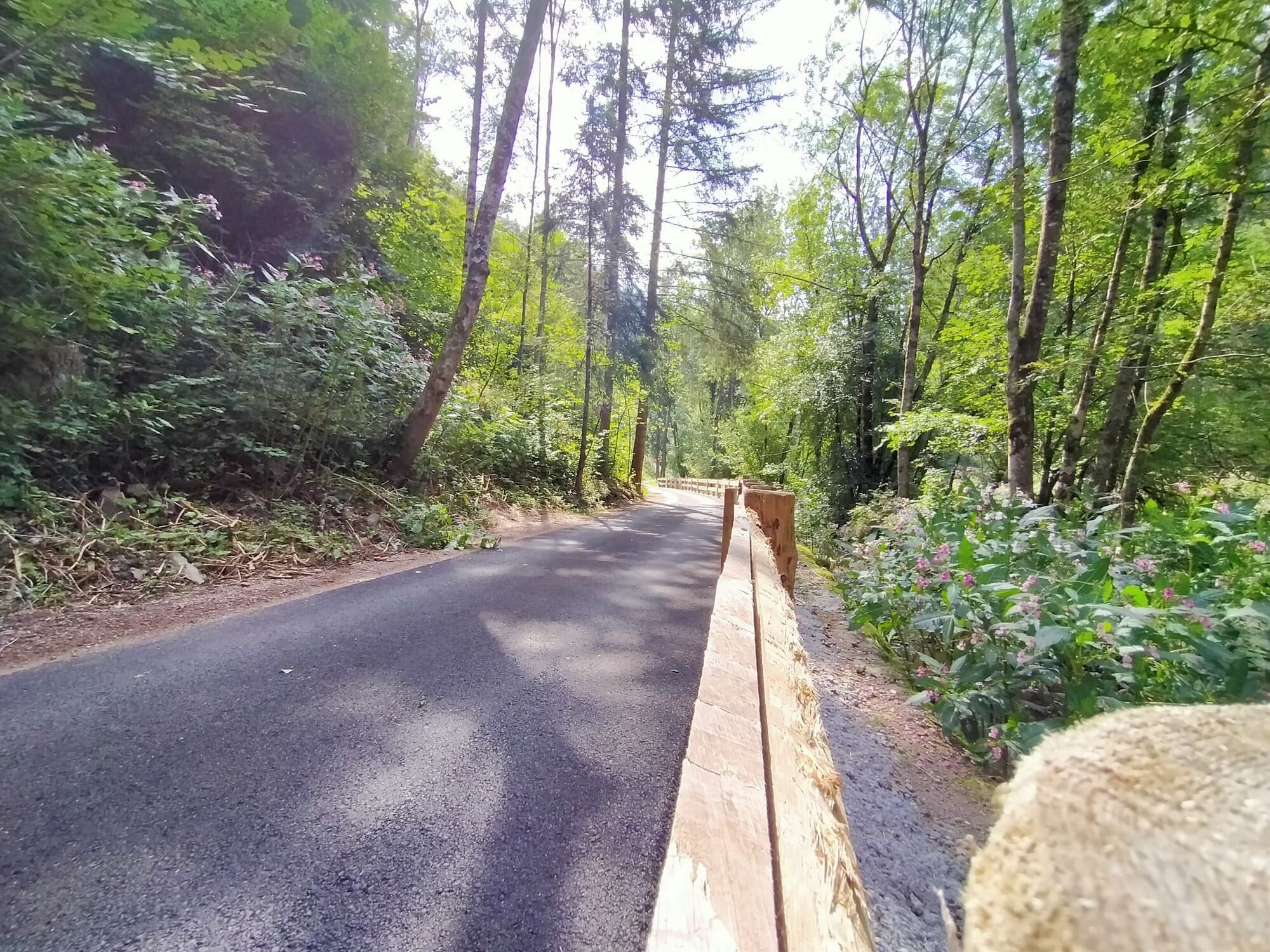
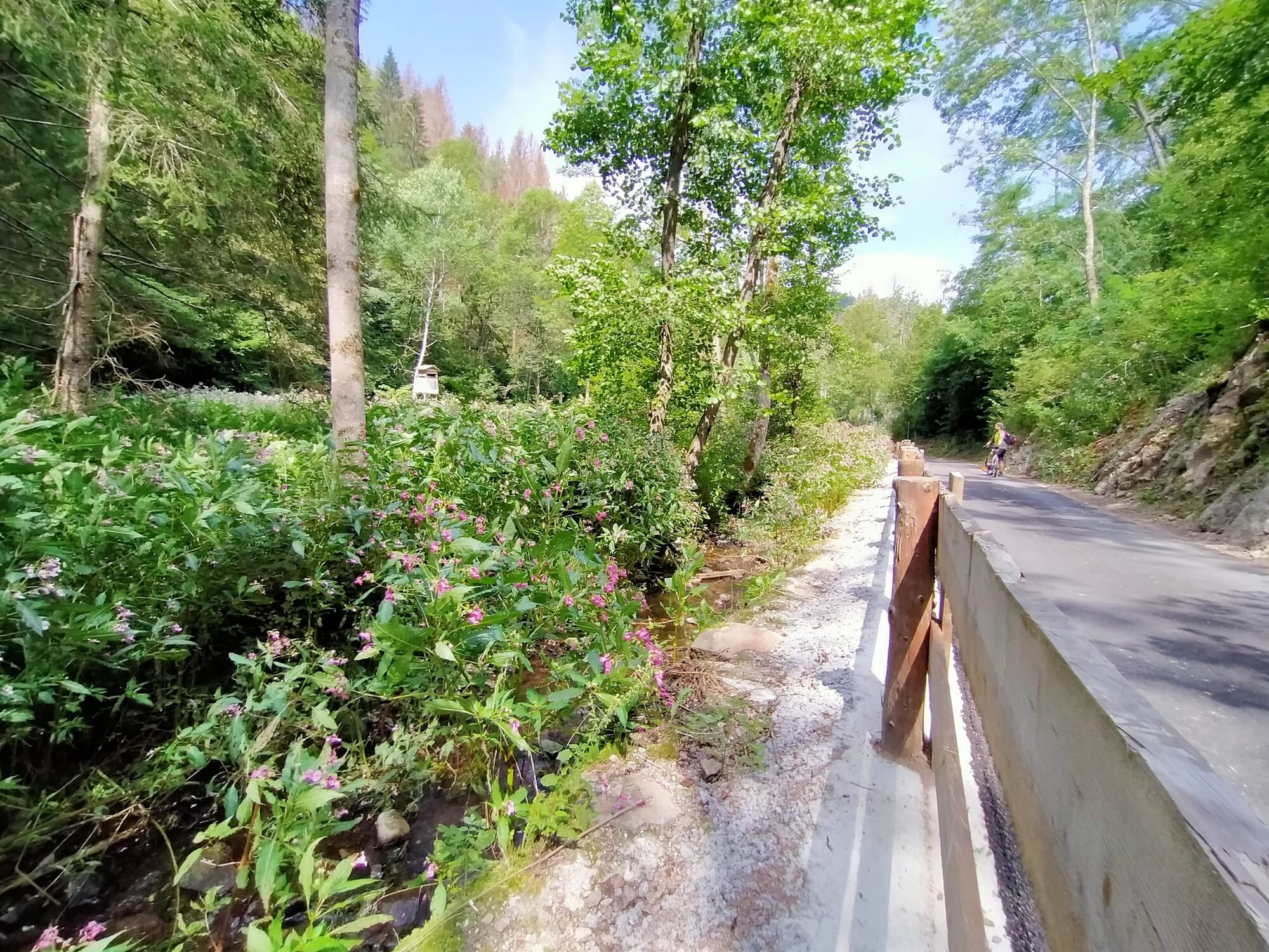
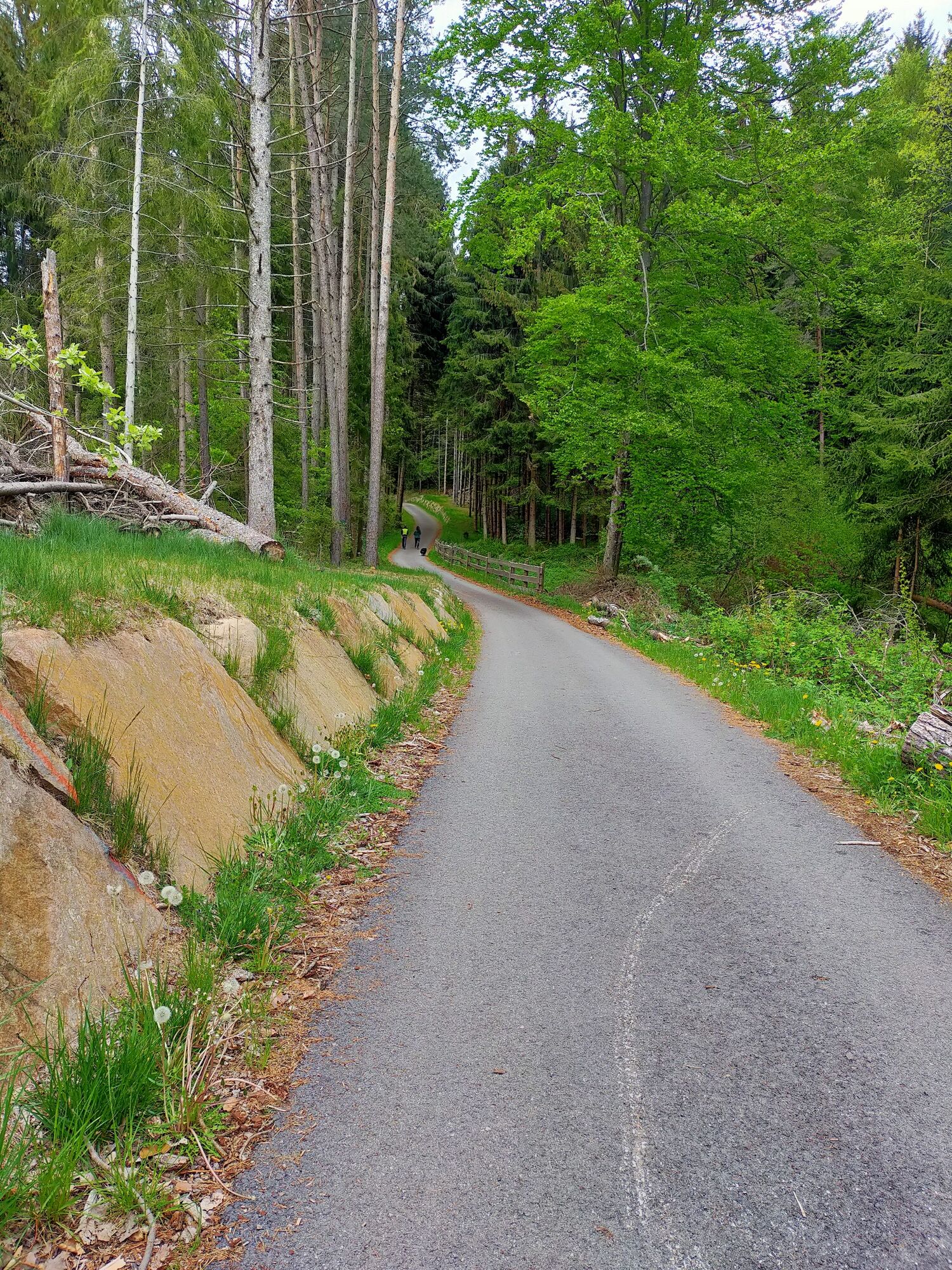
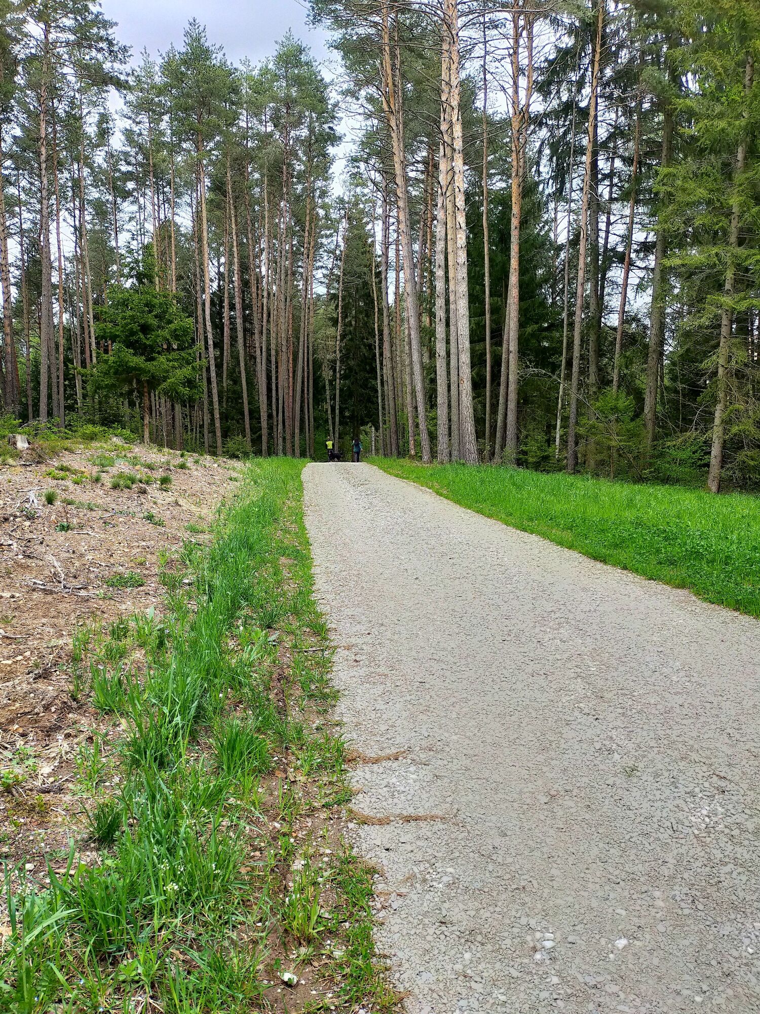
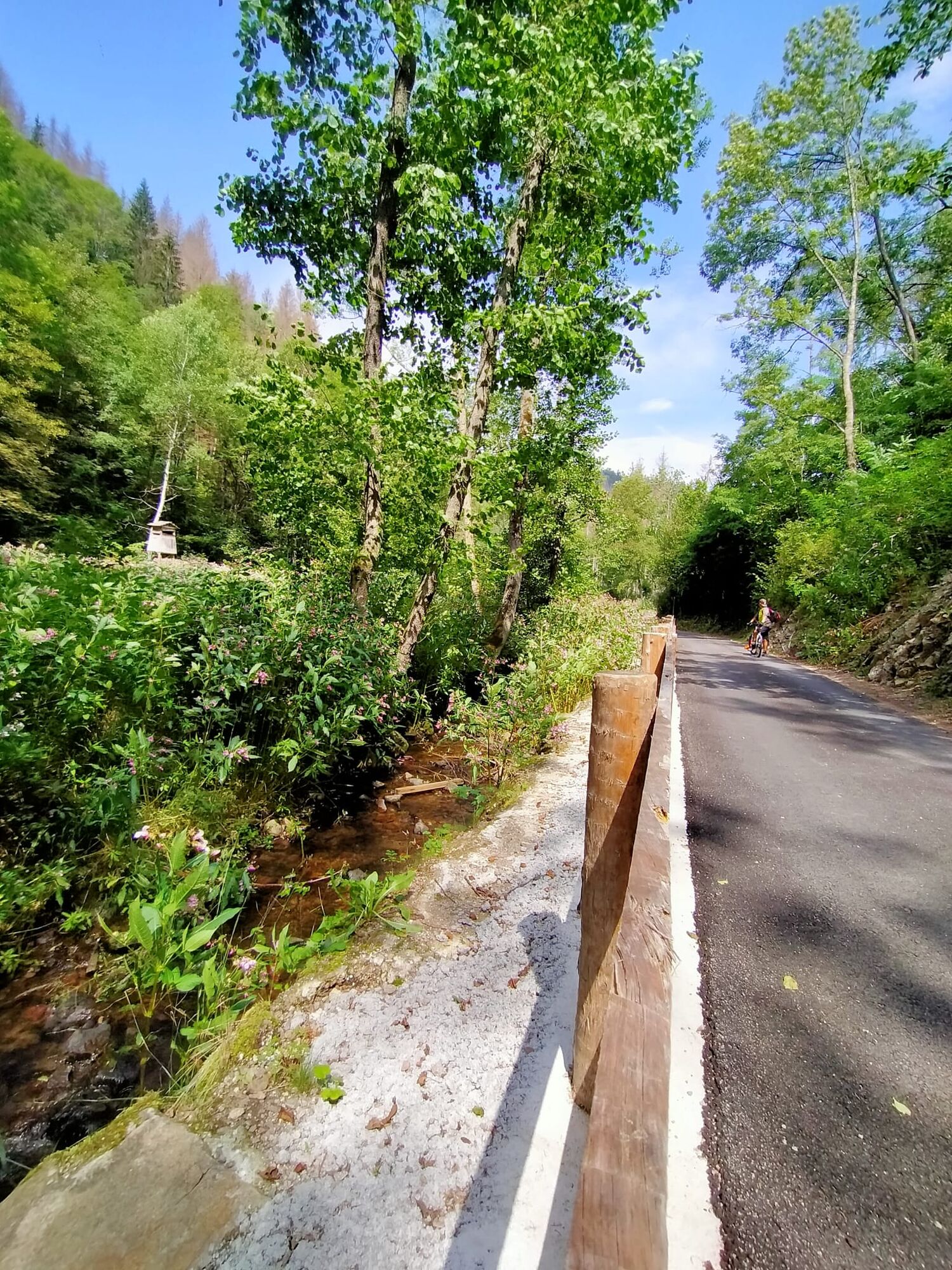
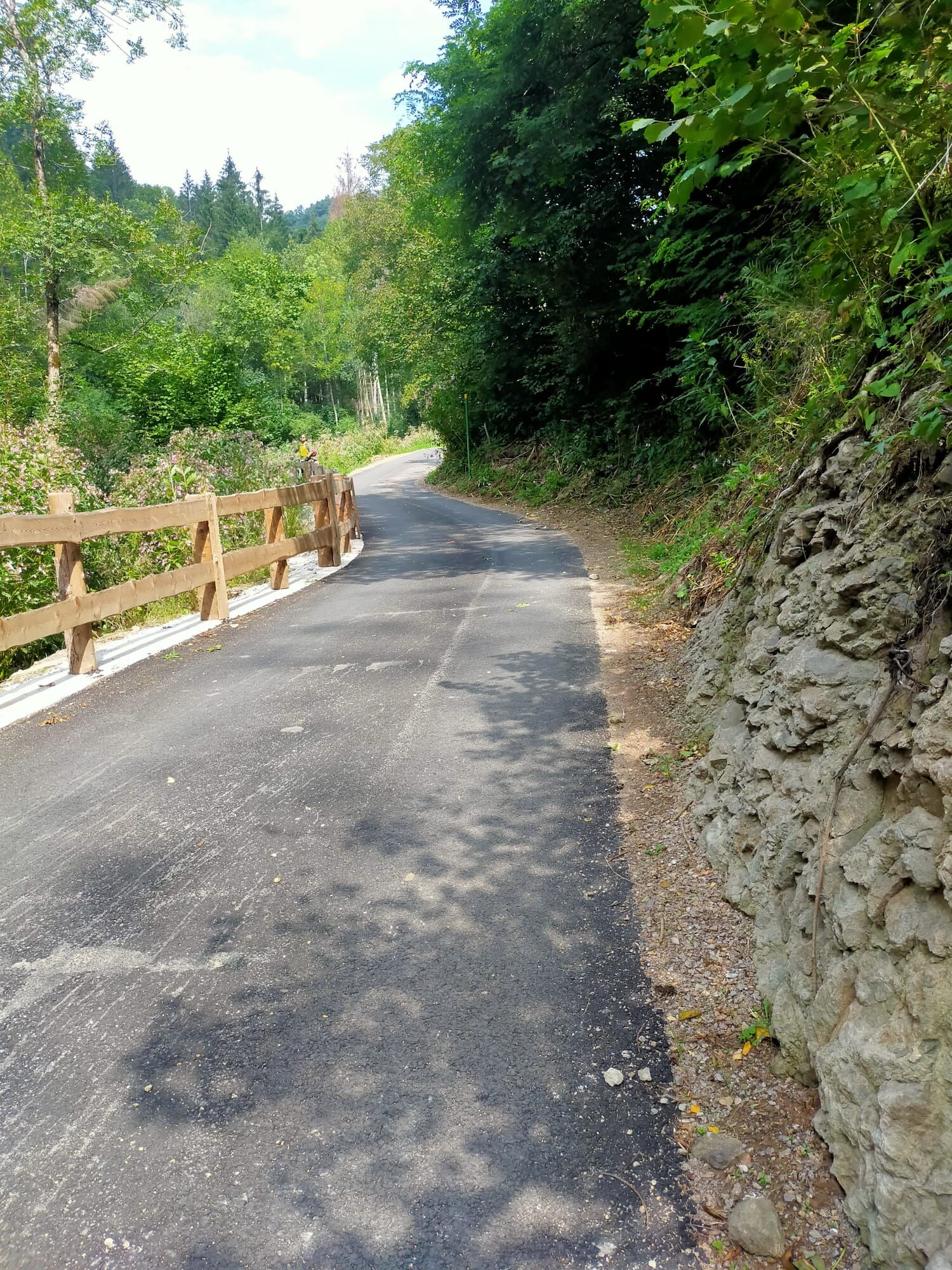
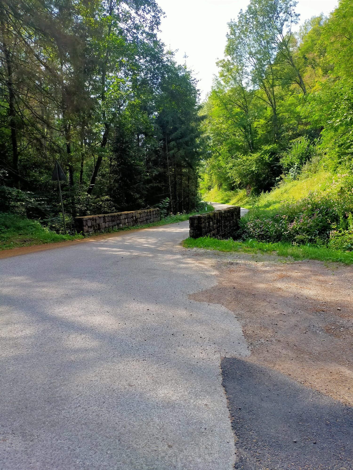
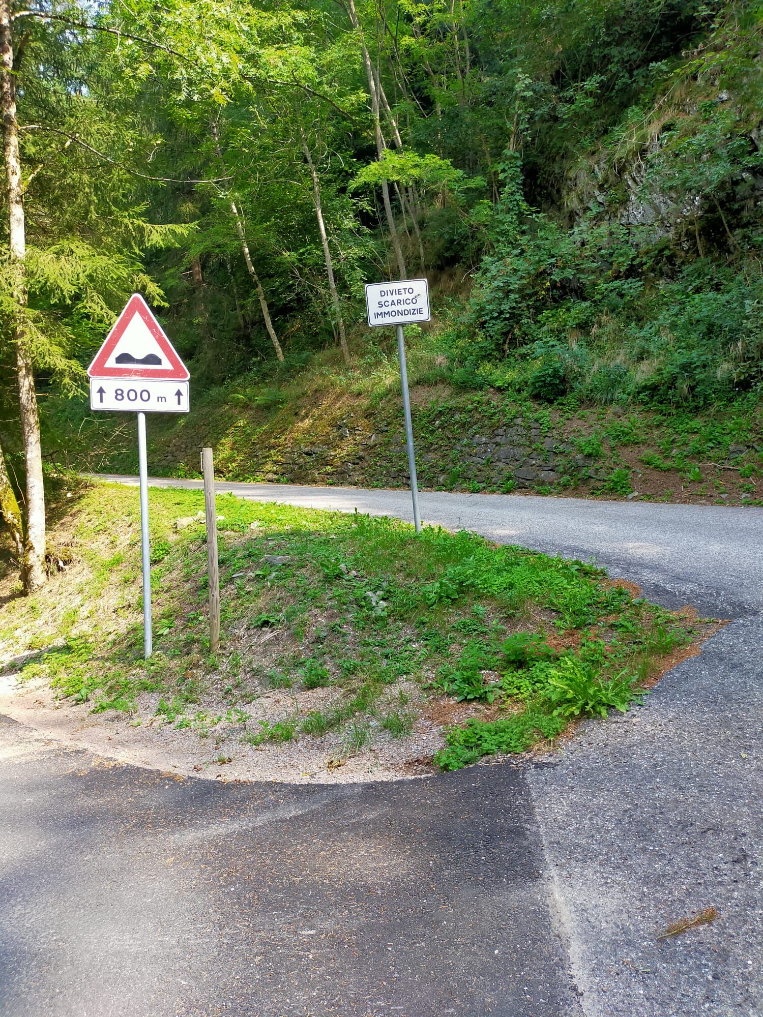
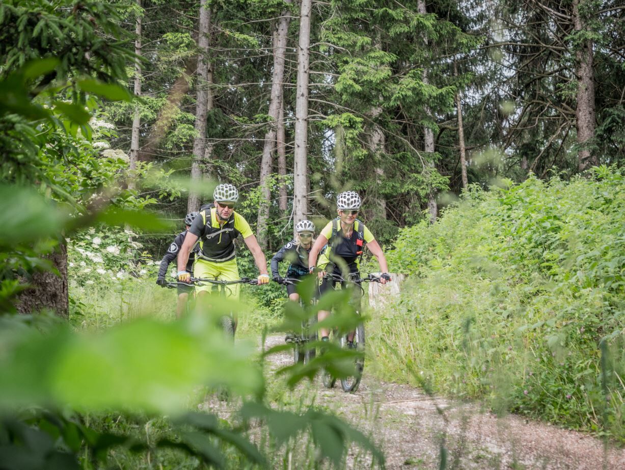
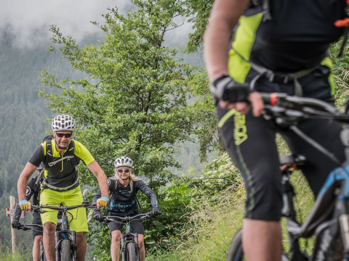
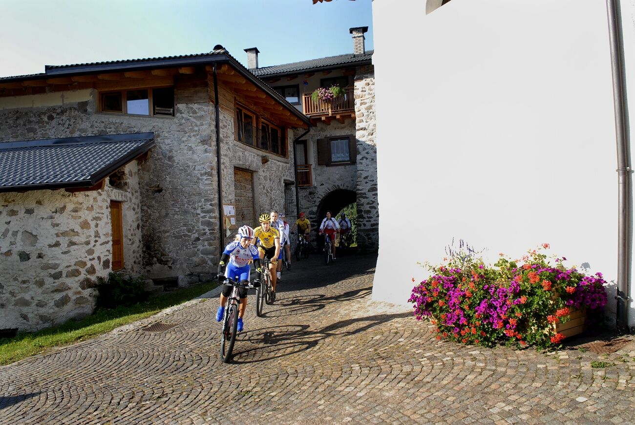
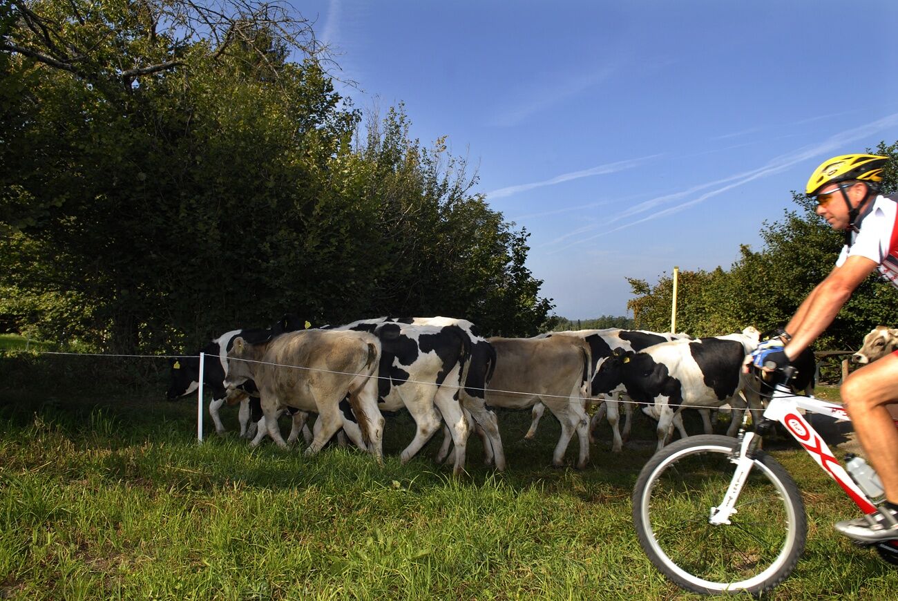
Ring route that connects the town of Baselga to Montagnaga, through a new cycle and pedestrian path: a tour suitable for everyone, that does not entail particular technical difficulties.
- Vanskelighet
-
lett
- Evaluering
-
- Rute
-
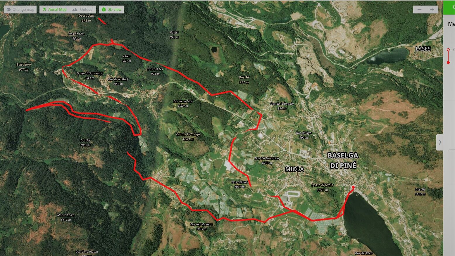
Baselga di Piné0,0 kmSerraia0,0 kmSalarola0,3 kmLido0,4 kmGrauno0,8 kmMühlen im Pineid1,3 kmPalustela1,4 kmStabio1,6 kmRauta3,2 kmFaida3,6 kmFontanele3,7 kmMasera3,8 kmCuni3,9 kmRonchi4,0 kmBoscati4,3 kmVal Alta4,4 kmValle8,0 kmErla9,0 kmErspan9,6 kmCa'dei Boci9,7 kmMontagnaga (882 m)9,8 kmFregolotti9,9 kmPizzeria Lanterna - Brew and Pub10,1 kmLita10,3 kmMeiel10,8 kmQuarta comparsa11,7 kmBisel (912 m)12,2 kmMorof (912 m)12,3 kmVigo15,2 kmLe Meie16,1 kmMühlen im Pineid17,0 kmPalustela17,2 kmGrauno17,6 kmLido18,2 kmSalarola18,3 kmBaselga di Piné18,6 kmSerraia18,6 km
- Beste sesong
-
jan.feb.marsaprilmaijunijuliaug.sep.okt.nov.des.
- Høyeste punkt
- 999 m
- Reisemål
-
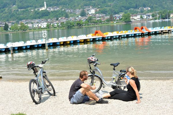
Serraia Lake
- Høydeprofil
-
 © outdooractive.com


- Forfatter
-
Turneen On the cycle path from Baselga to Montagnaga brukes av outdooractive.com forutsatt.
GPS Downloads


Generell info
Kulturell/Historisk
Flora
Fauna
Flere turer i regionene