© North Lake Garda Trentino - G.P. Calzà

© North Lake Garda Trentino - Archivio APT Garda Trentino (ph. Promovideo)

© North Lake Garda Trentino - G.P. Calzà

© North Lake Garda Trentino - Archivio Garda Trentino

© North Lake Garda Trentino - Archivio Garda Trentino - Foto Promovideo

- Kort beskrivelse
-
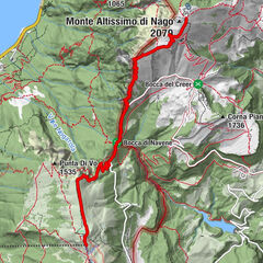
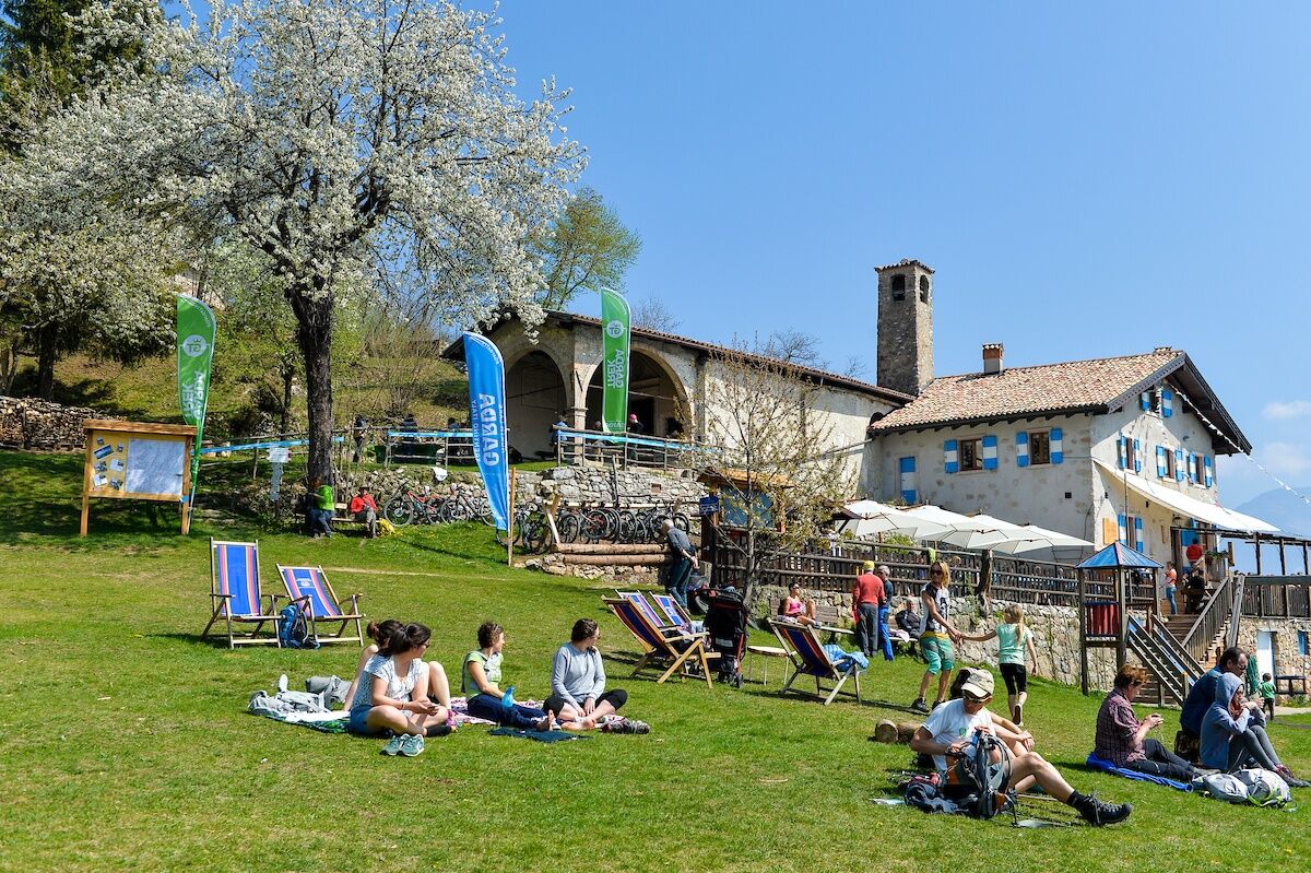
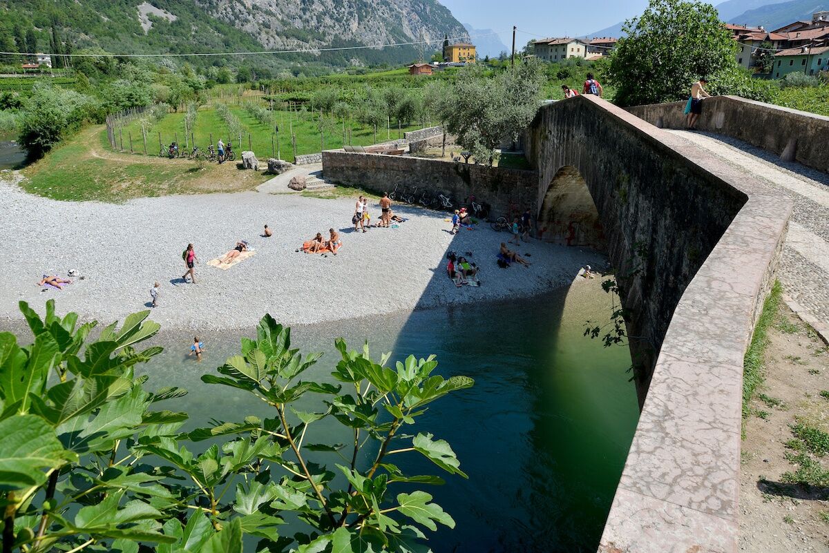
From San Pietro hut (1000 m above sea level) to the valley bottom again. Another stage characterized by a great variety of lanscapes as you descend to the Sarca river shores.
- Vanskelighet
-
vanskelig
- Evaluering
-
- Rute
-
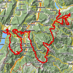
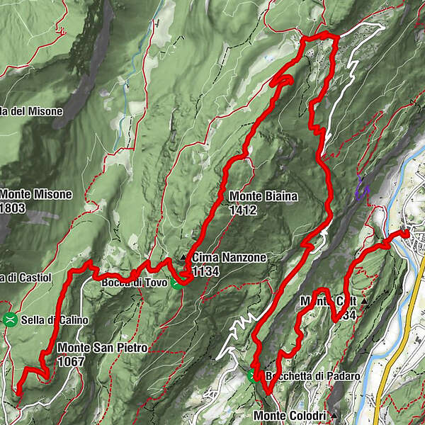
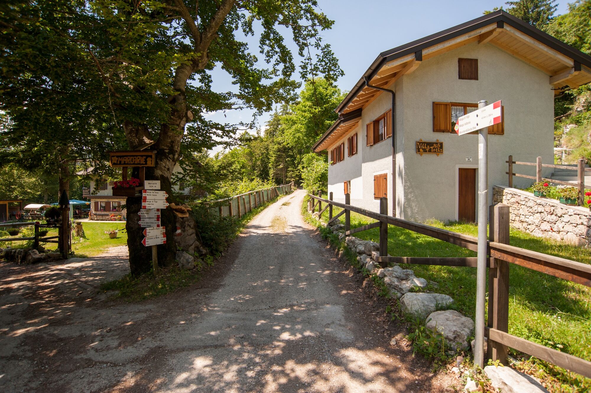
Chiesa di San Pietro0,0 kmRifugio San Pietro0,0 kmLa me baita0,1 kmMonte San Pietro (1.067 m)1,2 kmVedese2,2 kmMalga Tovo4,1 kmCima Nanzone (1.134 m)5,5 kmMonte Biaina (1.412 m)6,5 kmPrai da Gom9,1 kmMarcarie9,7 kmSan Giovanni al Monte10,2 kmMalga San Giovanni al Monte10,4 kmDoss del Clef (769 m)13,3 kmMandrea (620 m)14,5 kmArco16,6 kmLe Fontane18,0 kmCeniga20,9 km
- Beste sesong
-
jan.feb.marsaprilmaijunijuliaug.sep.okt.nov.des.
- Høyeste punkt
- 1.324 m
- Reisemål
-
Ceniga
- Høydeprofil
-
 © outdooractive.com


-
-
ForfatterTurneen GardaTrek - Top Loop 3: a long descent to the River Sarca brukes av outdooractive.com forutsatt.
GPS Downloads


Generell info
Forfriskningsstopp
Lovende
Flere turer i regionene
-
Garda Trentino
663
-
Arco di Trento
284