St. Johann in Tirol: Kitzbüheler Horn über Horn-Gipfel-Höhenweg


© TVB Kitzbüheler Alpen St. Johann in Tirol
© TVB Kitzbüheler Alpen St. Johann in Tirol
Turdatoer
5,95km
1.534
- 1.966m
454hm
460hm
03:30h

- Kort beskrivelse
-
This Hike is full of Breathtaking Mountain Views, including the Hohe Tauern, the
Leoganger and Loferer Steinberge, the Famous Wilder Kaiser and Countless Others. - Vanskelighet
-
middels
- Evaluering
-
- Utgangspunkt
-
Bergstation Harschbichlbahn
- Rute
-
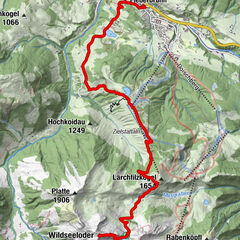
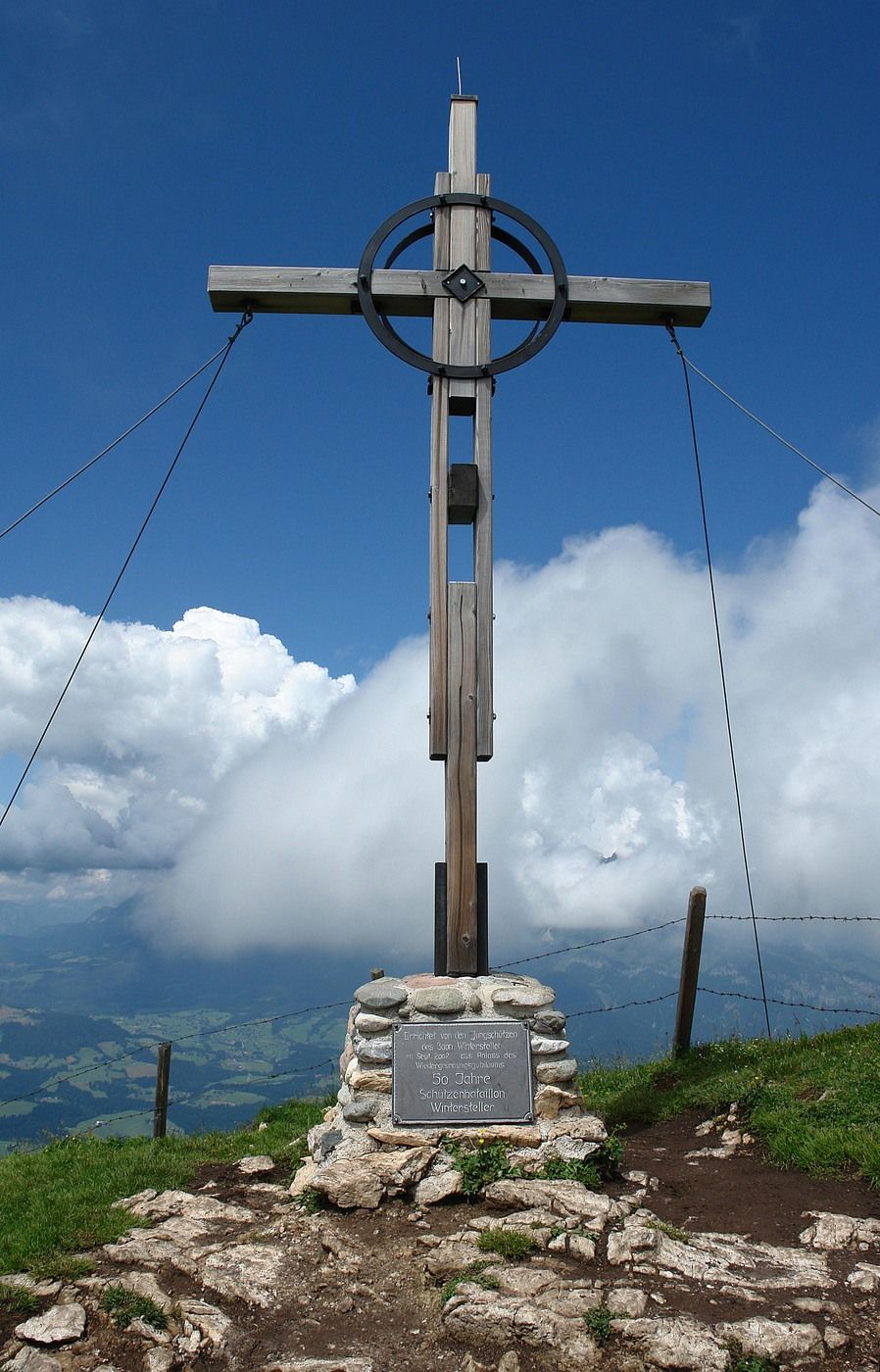
Berggasthof Harschbichl0,0 kmRaintal2,4 kmBrunellenfeld2,5 kmKitzbüheler Horn Gipfelhaus2,5 kmKitzbüheler Horn (1.996 m)2,6 kmBerggasthof Harschbichl5,8 kmHarschbichl (1.604 m)5,9 km
- Beste sesong
-
jan.feb.marsaprilmaijunijuliaug.sep.okt.nov.des.
- Høyeste punkt
- 1.966 m
- Hvile/Retrett
-
Harschbichlalm, Gipfelhaus
- Kartmateriell
-
In allen Infobüros: St. Johann in Tirol, Oberndorf, Kirchdorf und Erpfendorf

- Info-telefon
-
Tourismusverband Kitzbüheler Alpen St. Johann in Tirol +43 (0)5352 63335-0
- Link
- https://www.kitzbueheler-alpen.com/de/st-johann
- Kilde
- Tourismusverband Kitzbüheler Alpen St. Johann in Tirol
GPS Downloads


Løypeforhold
Asfalt
Grus
Gressunderlag
Skog
Stein
Utsatt
Flere turer i regionene
-
Kitzbühel
1768
-
Bergbahnen St. Johann in Tirol
500