
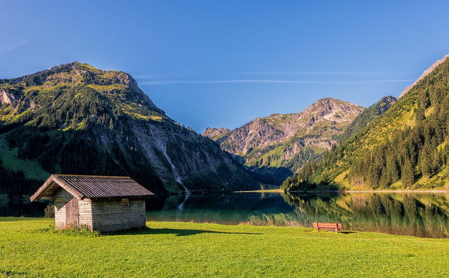
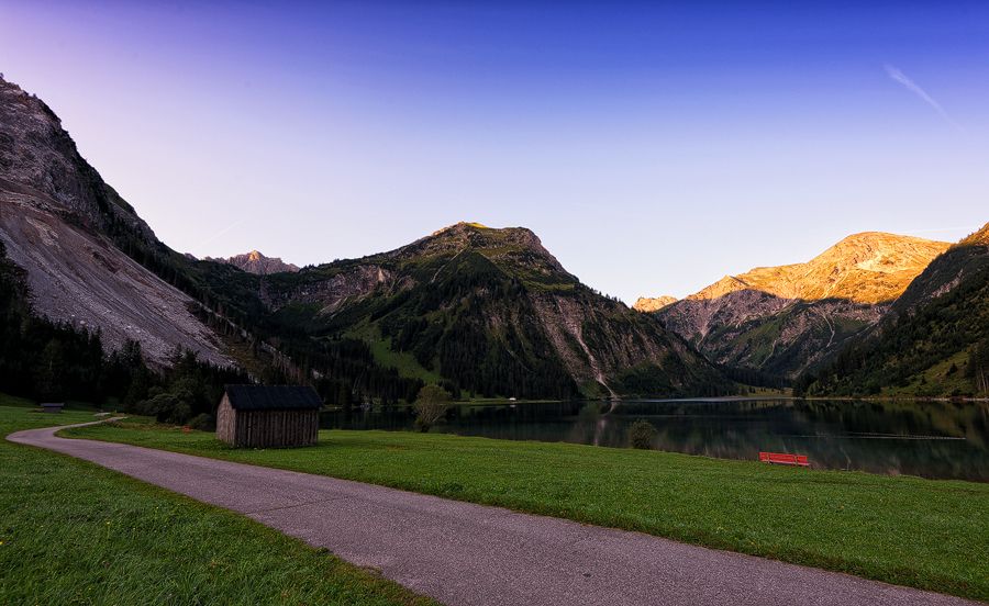
© Tannheimer Tal - TVB Tannheimer Tal
© Tannheimer Tal - TVB Tannheimer Tal

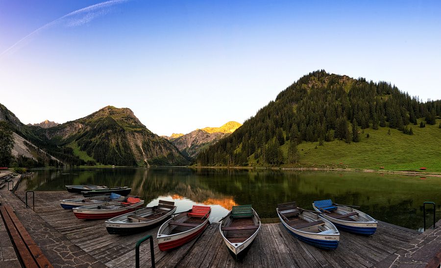
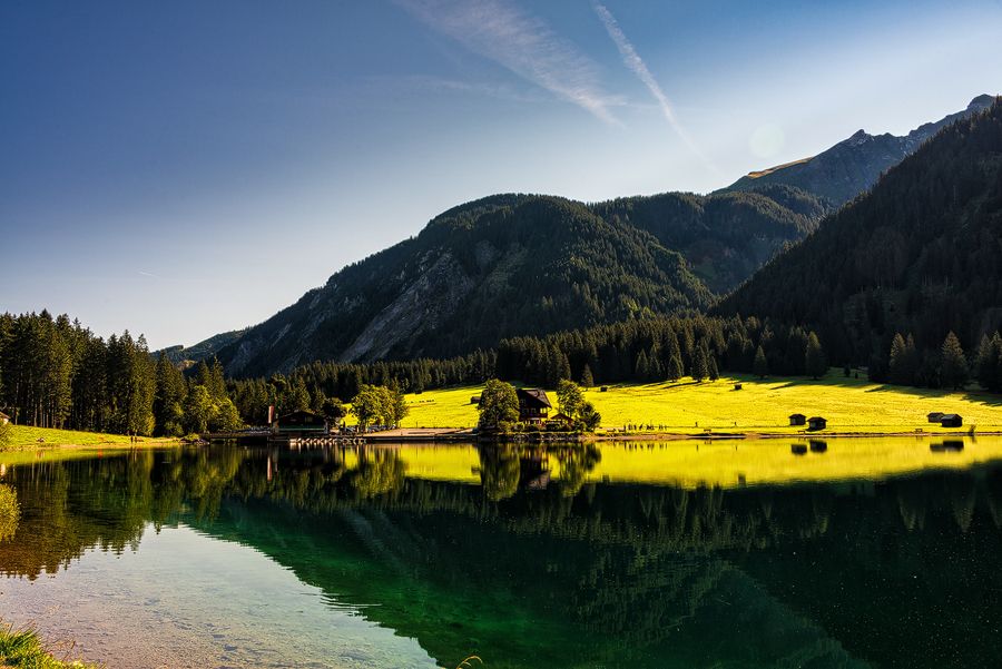
© Tannheimer Tal - kUNO

© Tannheimer Tal - kUNO
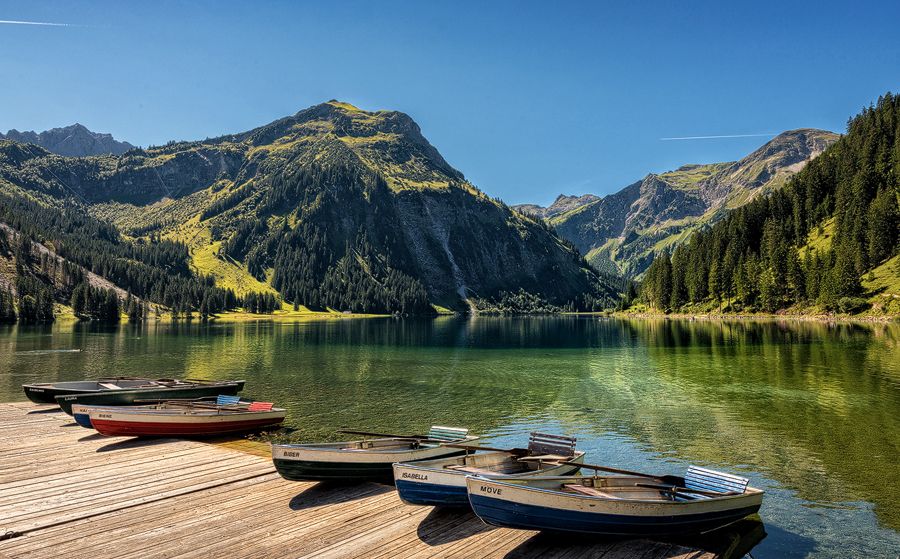
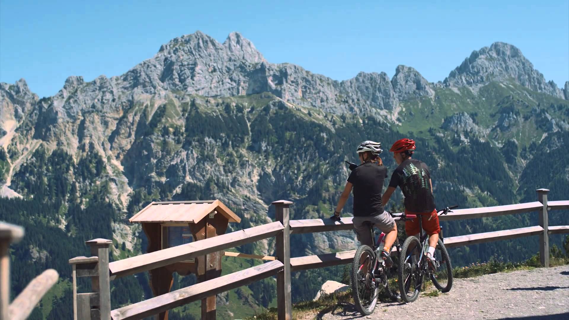
© Community - Wolfgang Staudt
© Community - Wolfgang Staudt
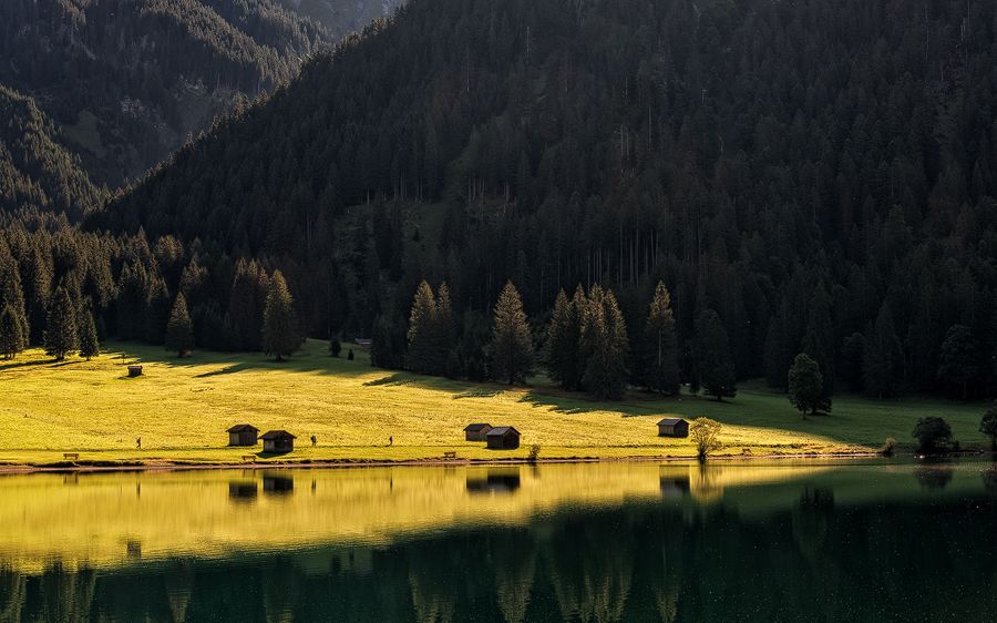
© Community - Wolfgang Staudt

© Community - Wolfgang Staudt
© Community - Wolfgang Staudt
© Community - Wolfgang Staudt
- Kort beskrivelse
-
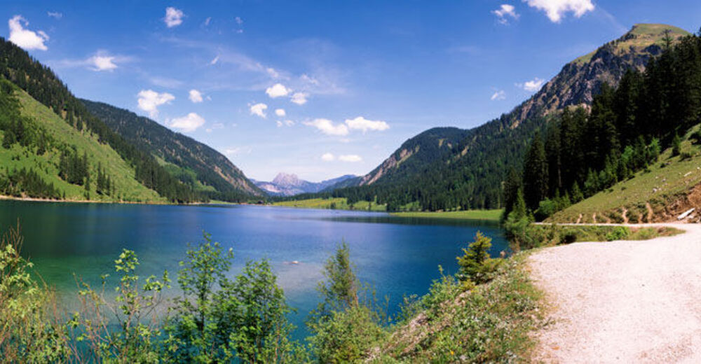
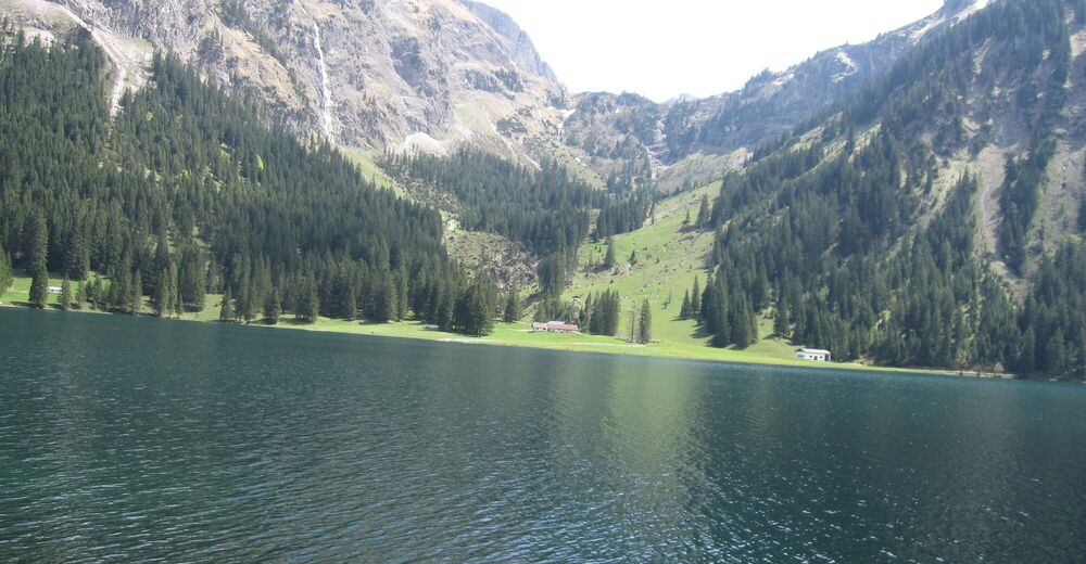
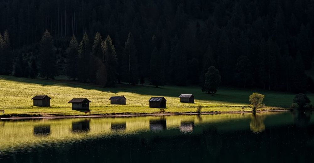
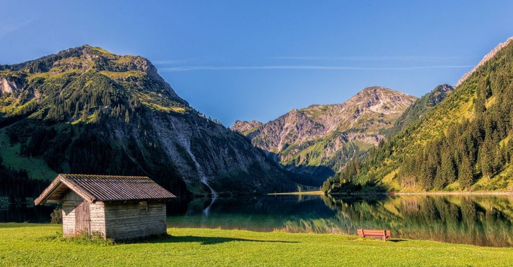
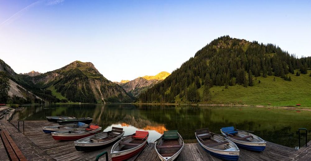
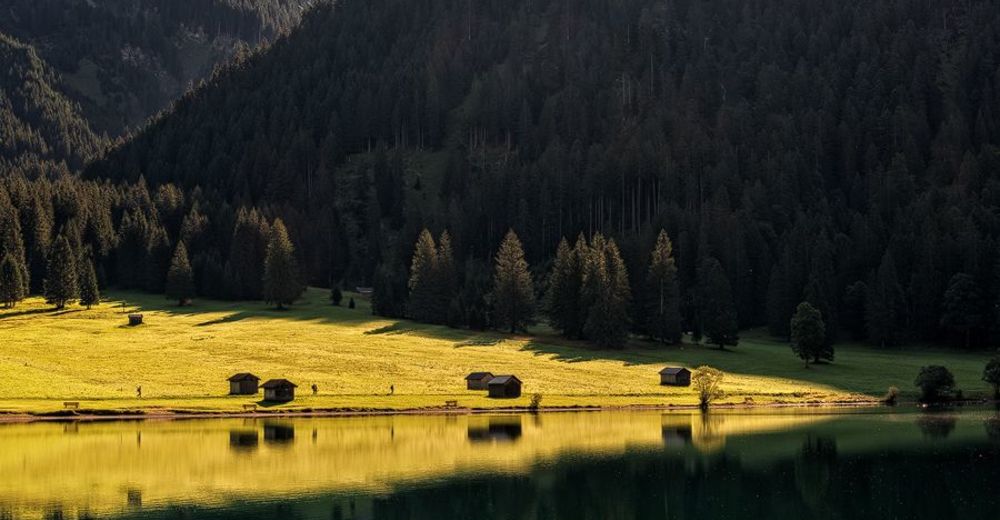
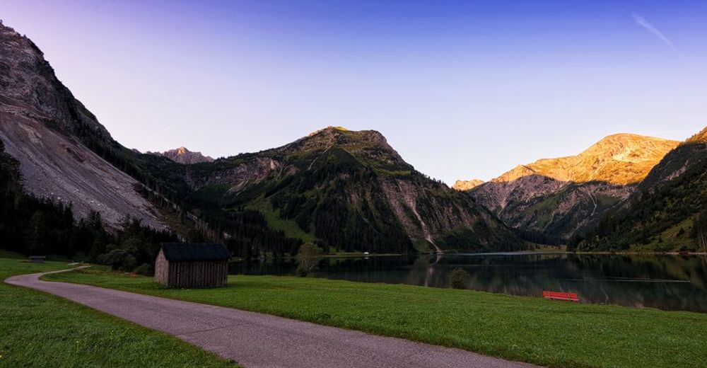
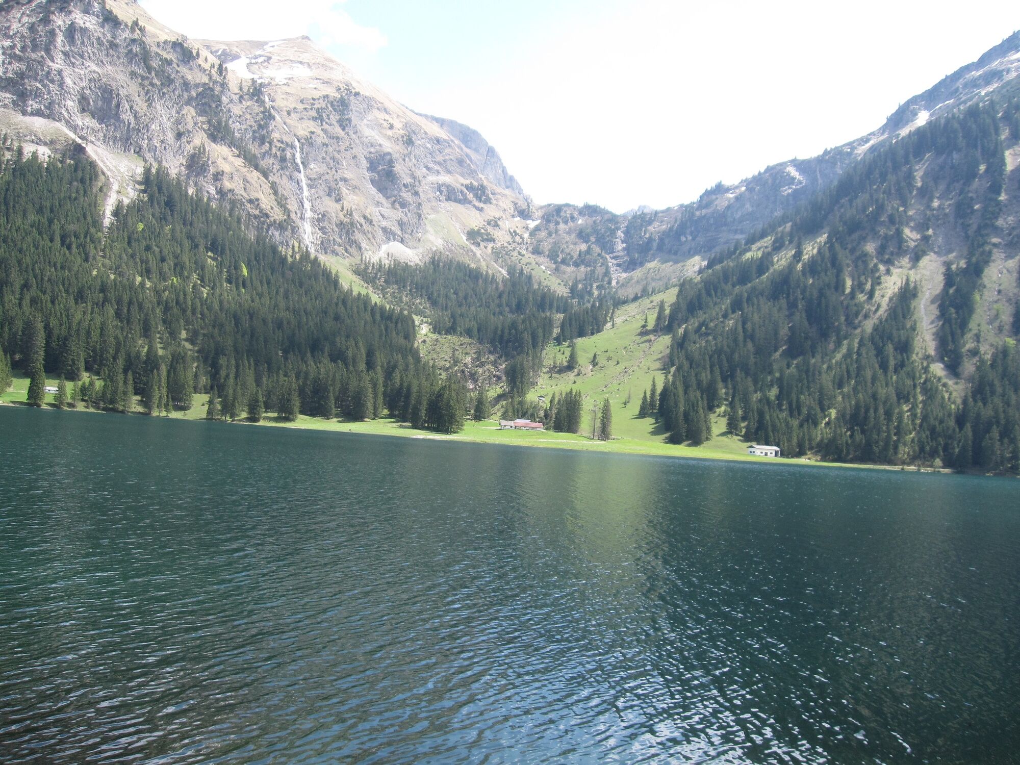
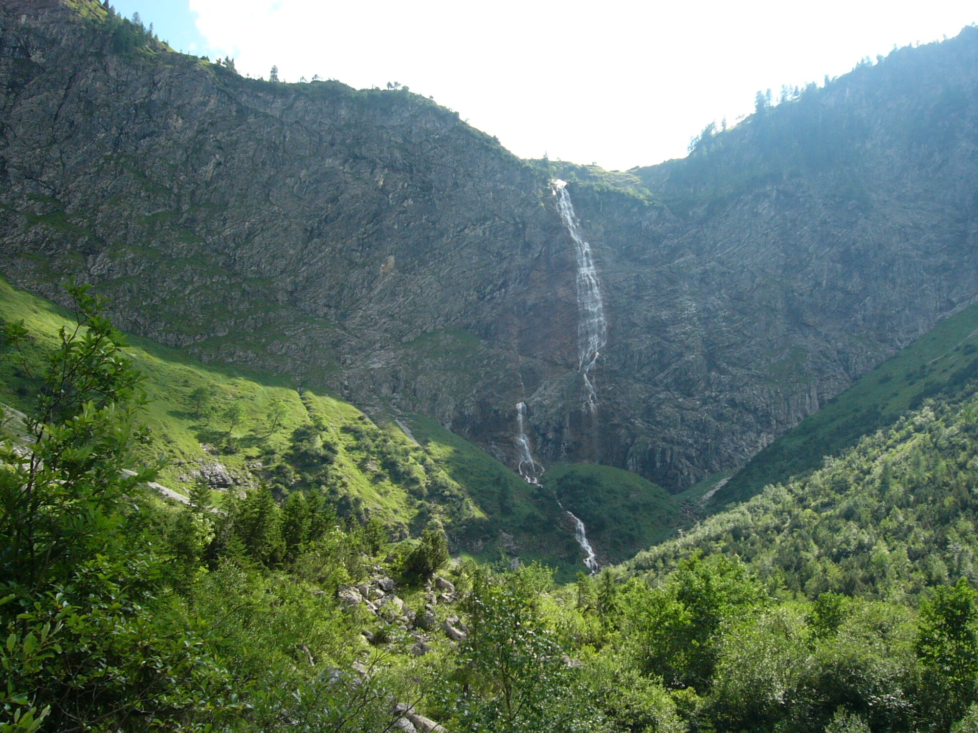
A fantastic hike in the heart of the Tannheimer Tal.
- Vanskelighet
-
lett
- Evaluering
-
- Rute
-
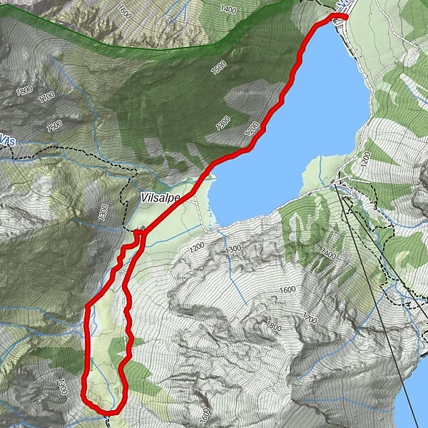
Haubentaucher0,1 kmVilsalpe1,8 kmVilsalpe4,5 kmHaubentaucher6,3 km
- Beste sesong
-
jan.feb.marsaprilmaijunijuliaug.sep.okt.nov.des.
- Høyeste punkt
- 1.256 m
- Reisemål
-
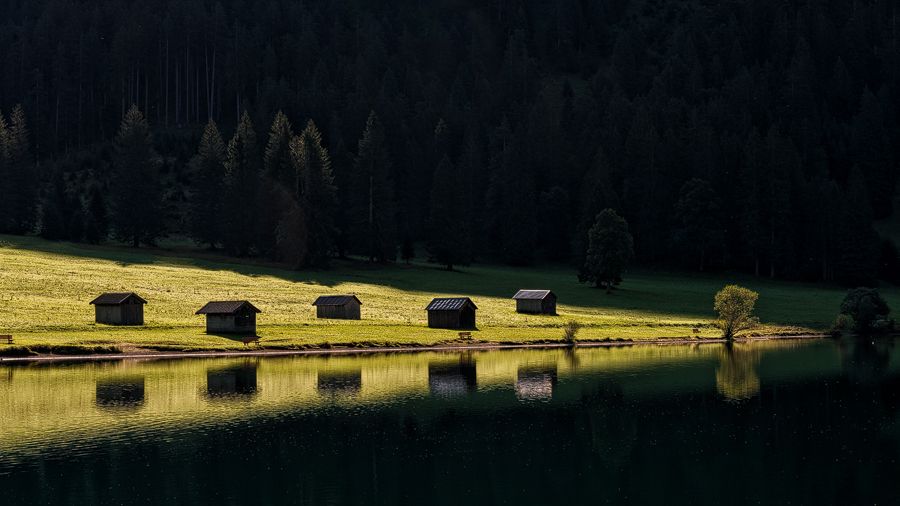
Vilsalpe
- Høydeprofil
-


- Forfatter
-
Turneen Along the Vilsalpsee to the Bergacht waterfall brukes av outdooractive.com forutsatt.
GPS Downloads


Generell info
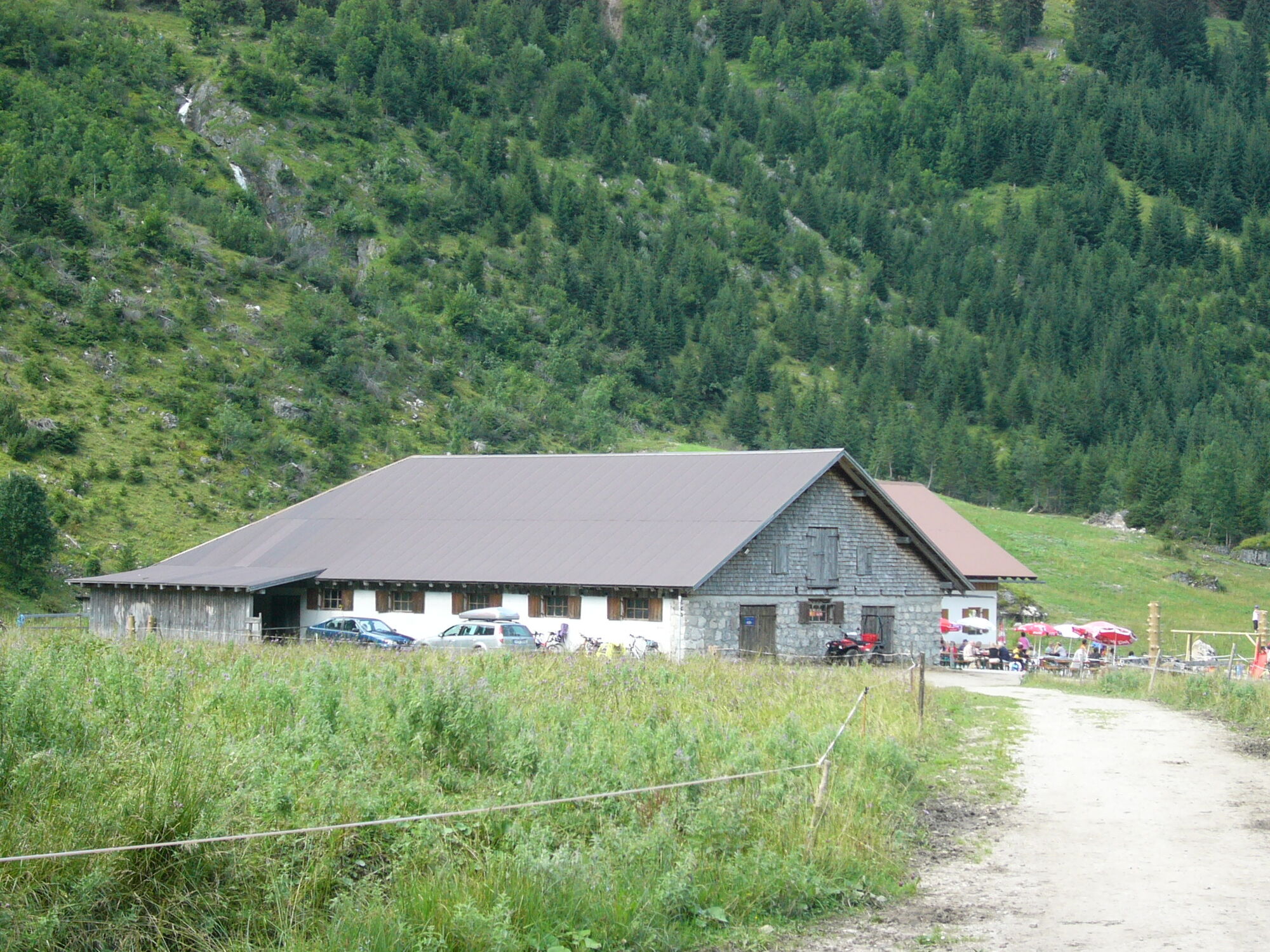
Forfriskningsstopp
Flora
Fauna
Lovende
Flere turer i regionene
-
Allgäu
2359
-
Tannheimer Tal
1448
-
Tannheim
518


