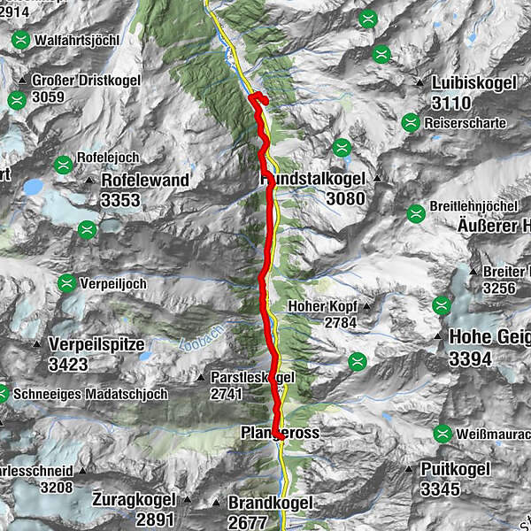
Valley track from Plangeross 1616 m to Stillebach 1409 m to the small lake and facility for hydropathic treatment


- Kort beskrivelse
-
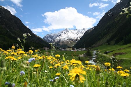
Easy tour along the Pitzbach past the flower- and alpfields, through woods and over wonderful becks. In every little village you are able to go to the Pitztaler state road.
- Rute
-
Pfarrkirche Plangeross0,0 kmPlangeross0,0 kmWeißwald1,0 kmKöfels2,0 kmTrenkwald2,6 kmNeurur4,0 kmStillebach6,9 kmBiorestaurant Grünzeug7,4 kmKlockelefall7,6 km
- Høyeste punkt
- 1.603 m
- Høydeprofil
-

- Forfatter
GPS Downloads


Flere turer i regionene
-
Pitztal
1066
-
St. Leonhard im Pitztal
332


