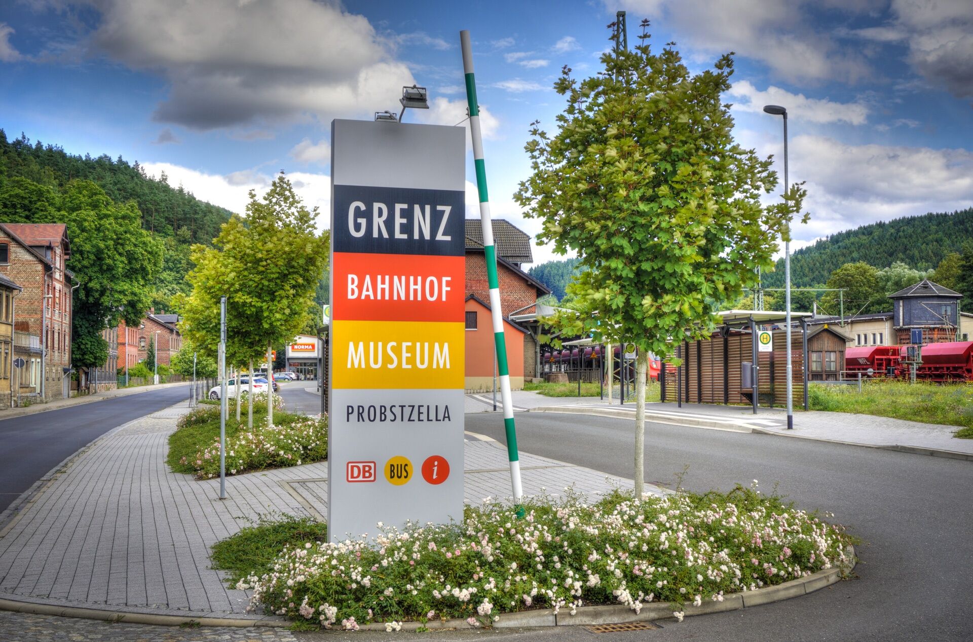
Circular hiking trail - Slate path on the "Green Belt" - Probstzella - Thuringian Forest


© Thüringen-entdecken.de - Paul Hentschel

© Thüringen-entdecken.de - Paul Hentschel

© Thüringen-entdecken.de - Paul Hentschel

© Thüringen-entdecken.de - Paul Hentschel

© Thüringen-entdecken.de - Paul Hentschel

© Thüringen-entdecken.de - Paul Hentschel

© Thüringen-entdecken.de - Paul Hentschel

© Community - Karlheinz H.

© Thüringer Wald - Peter Möller

© Thüringer Wald - Peter Möller
- Kort beskrivelse
-
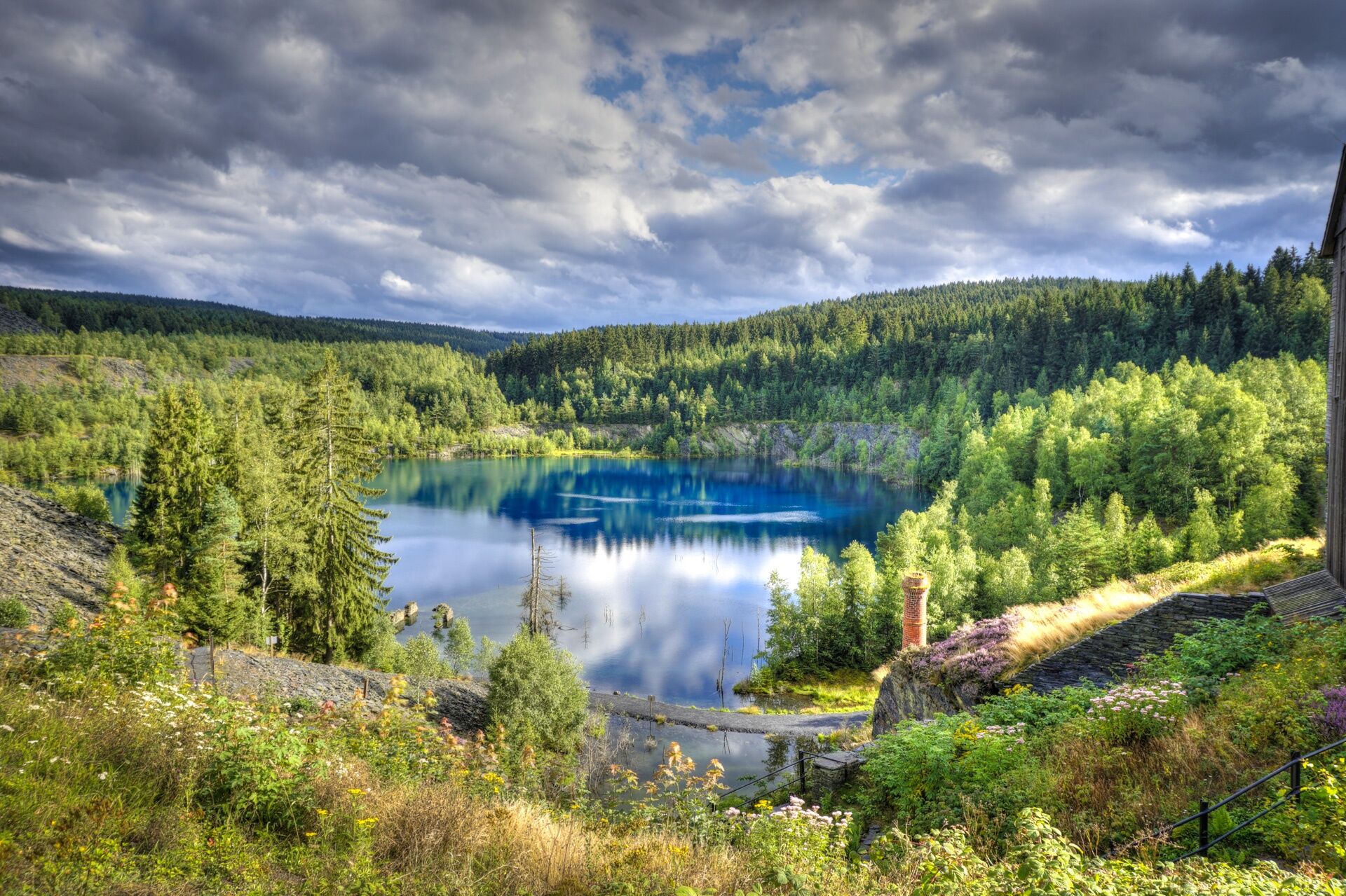
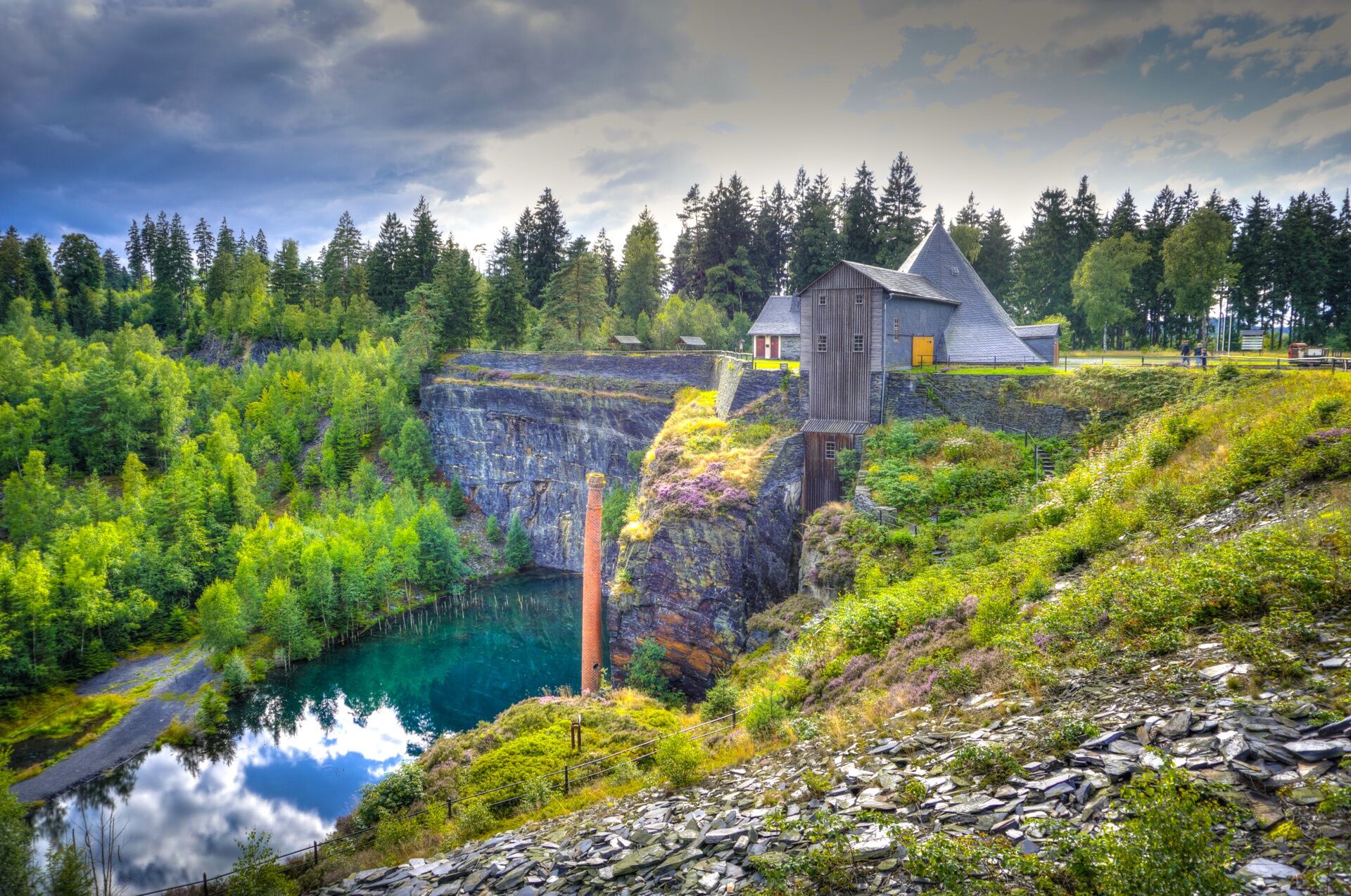
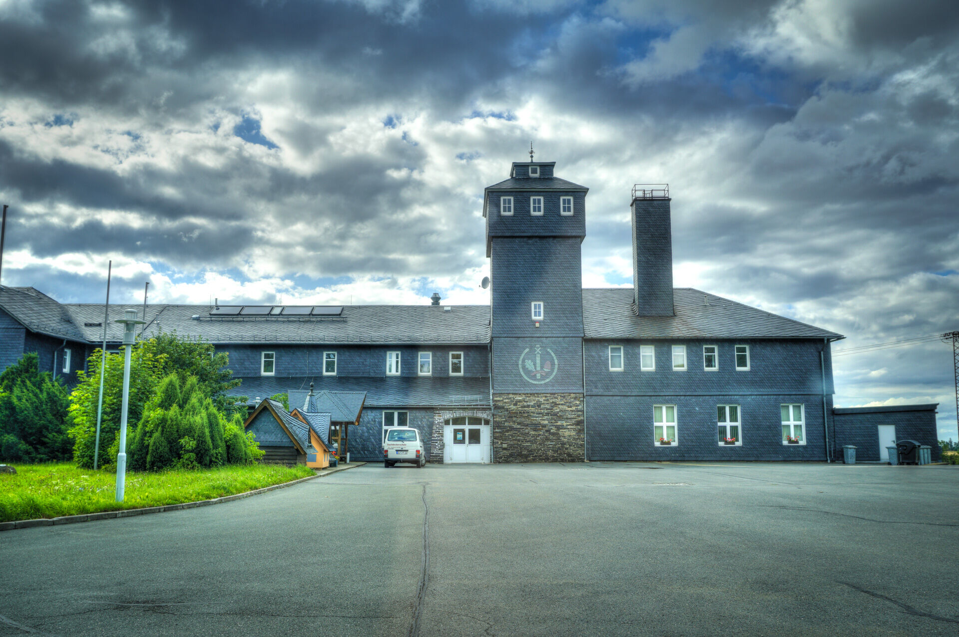
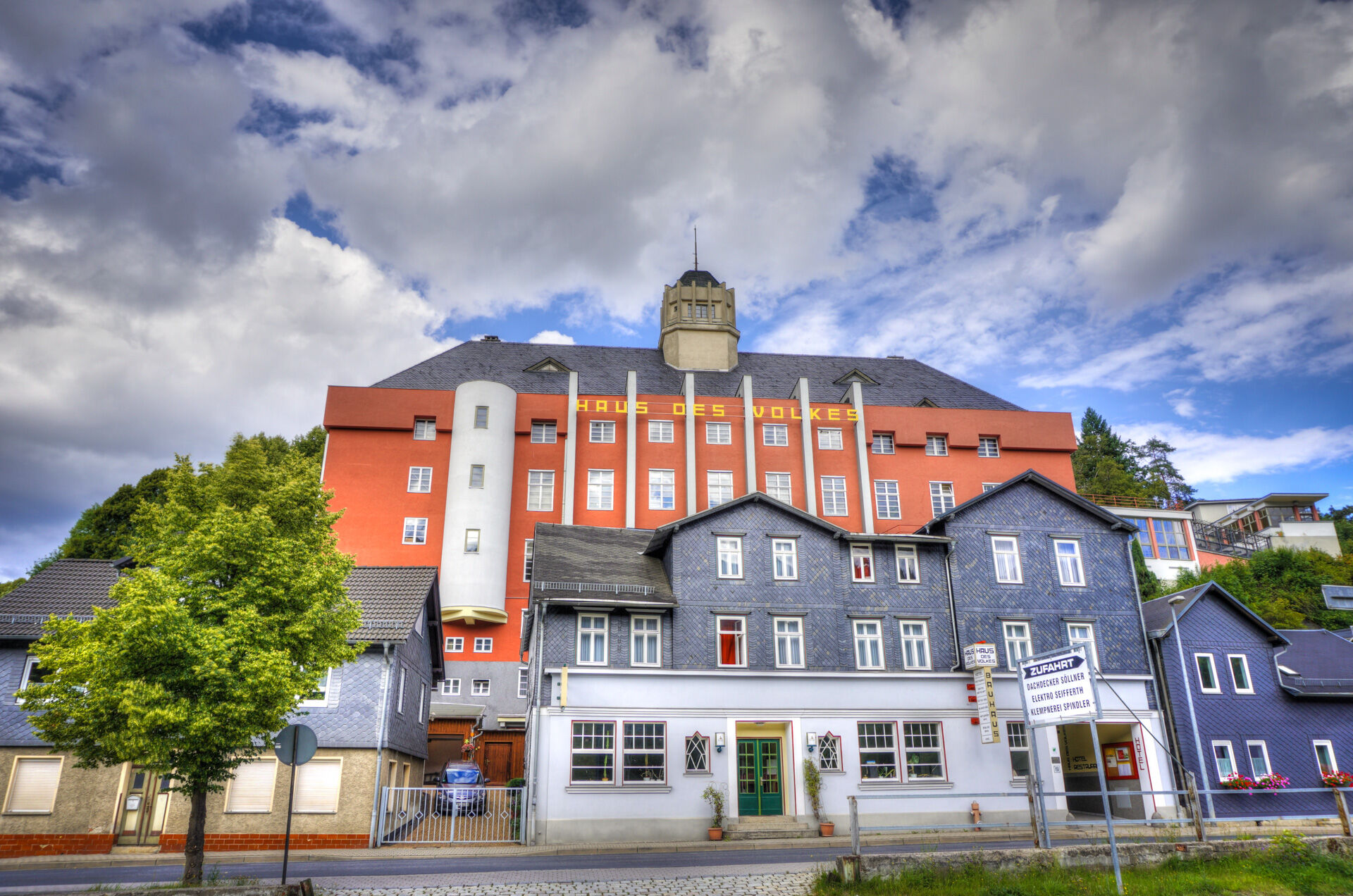
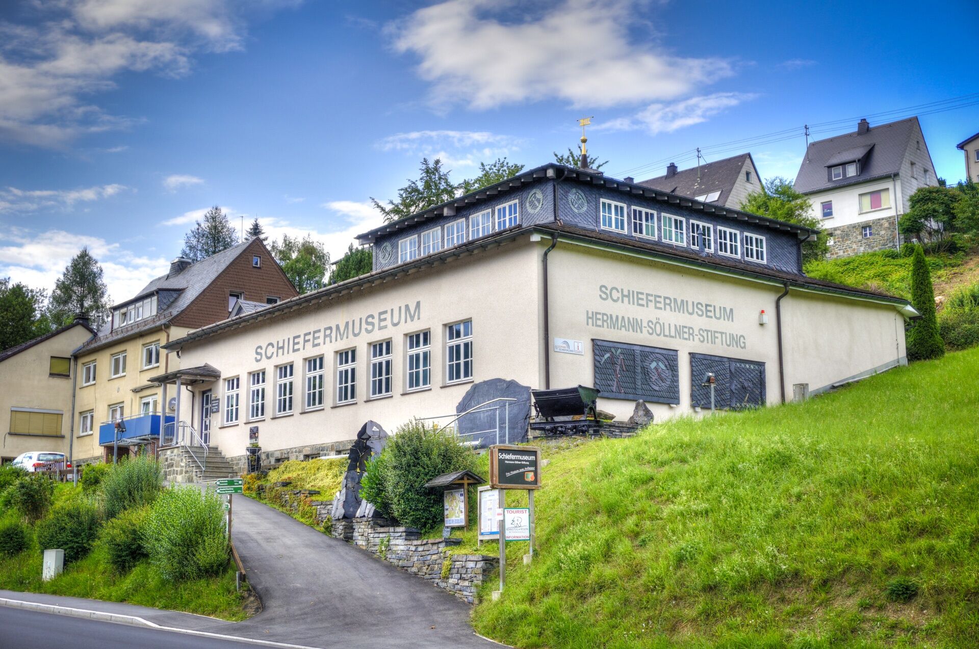
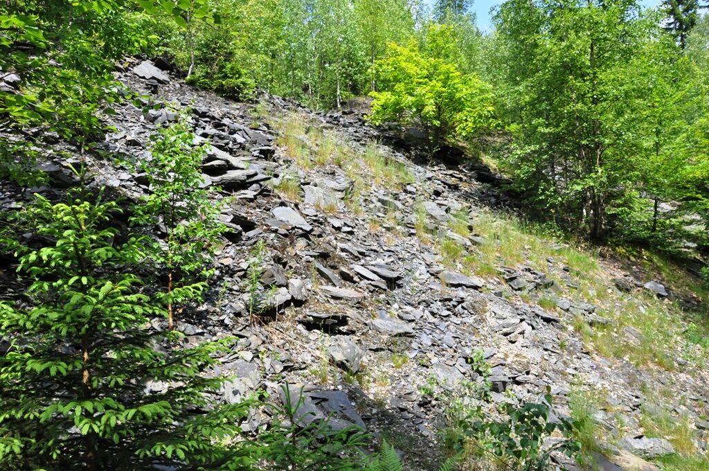
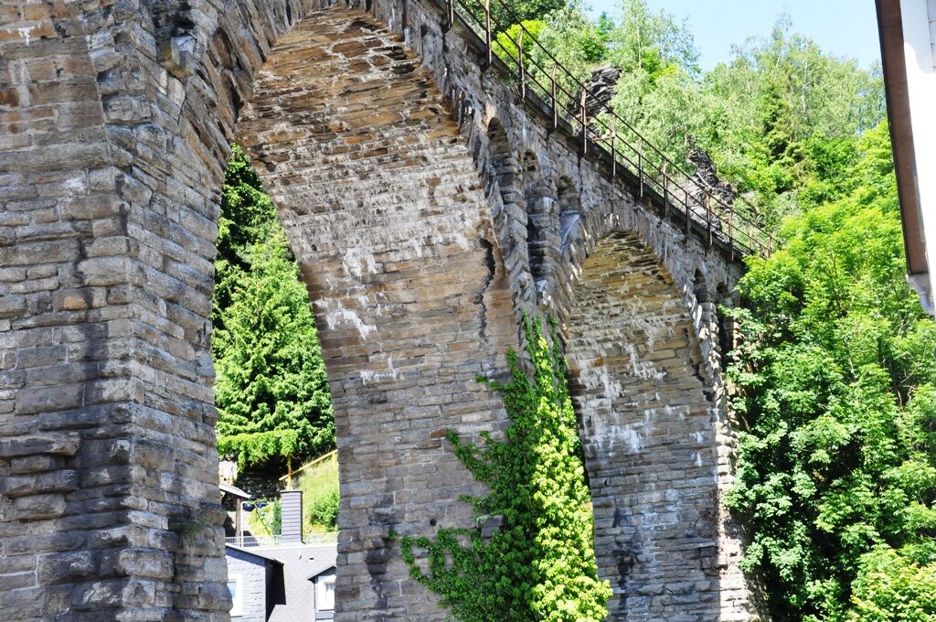
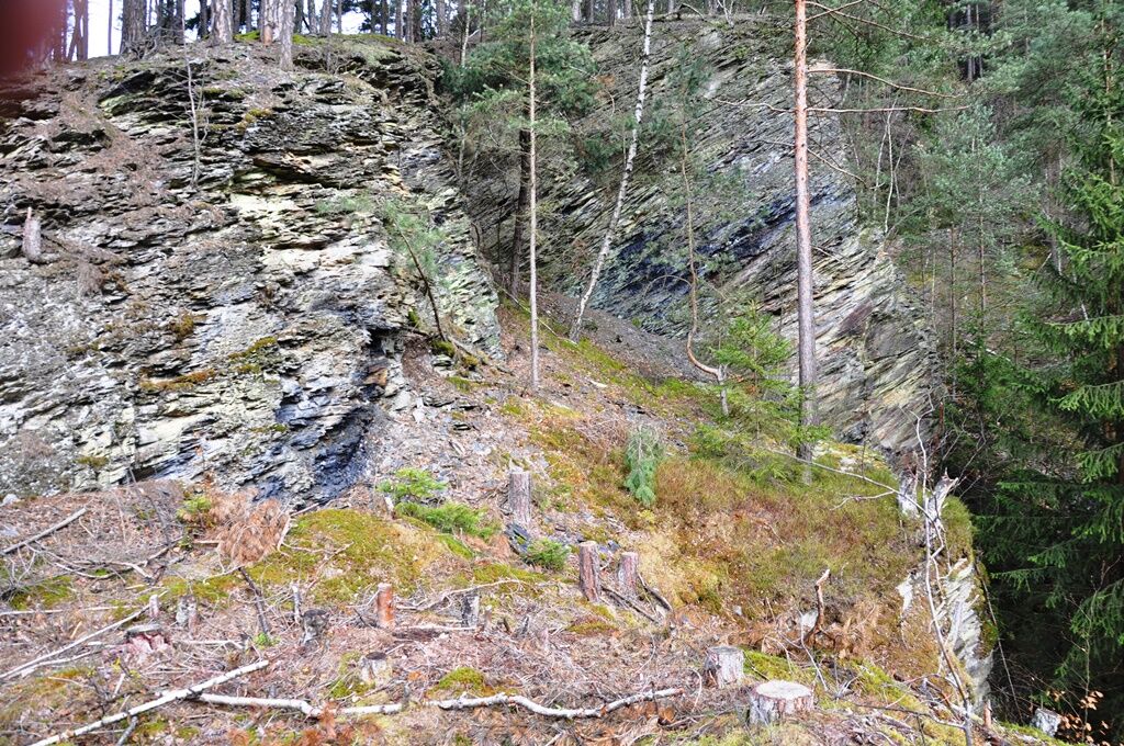
The Slate Trail connects interesting geotopes, technical monuments and museums that have been created in the historic mining areas in the Thuringian Slate Mountains/Upper Saale Nature Park.
- Vanskelighet
-
middels
- Evaluering
-
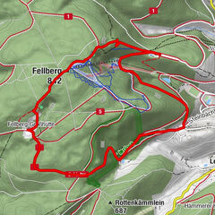
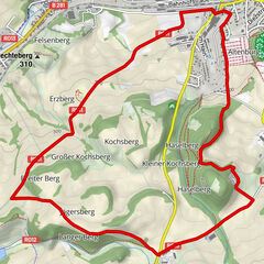
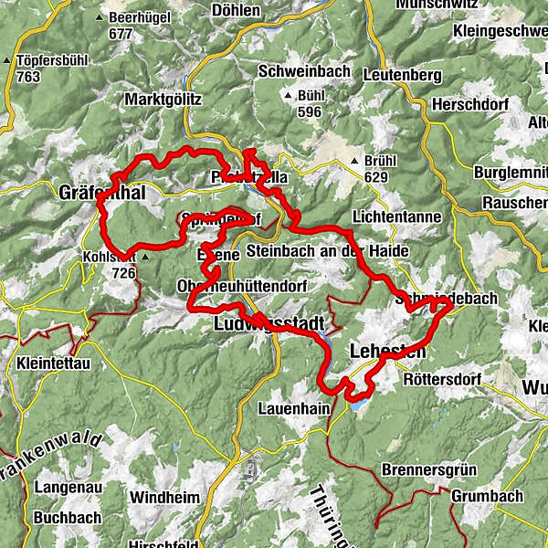
- Rute
-
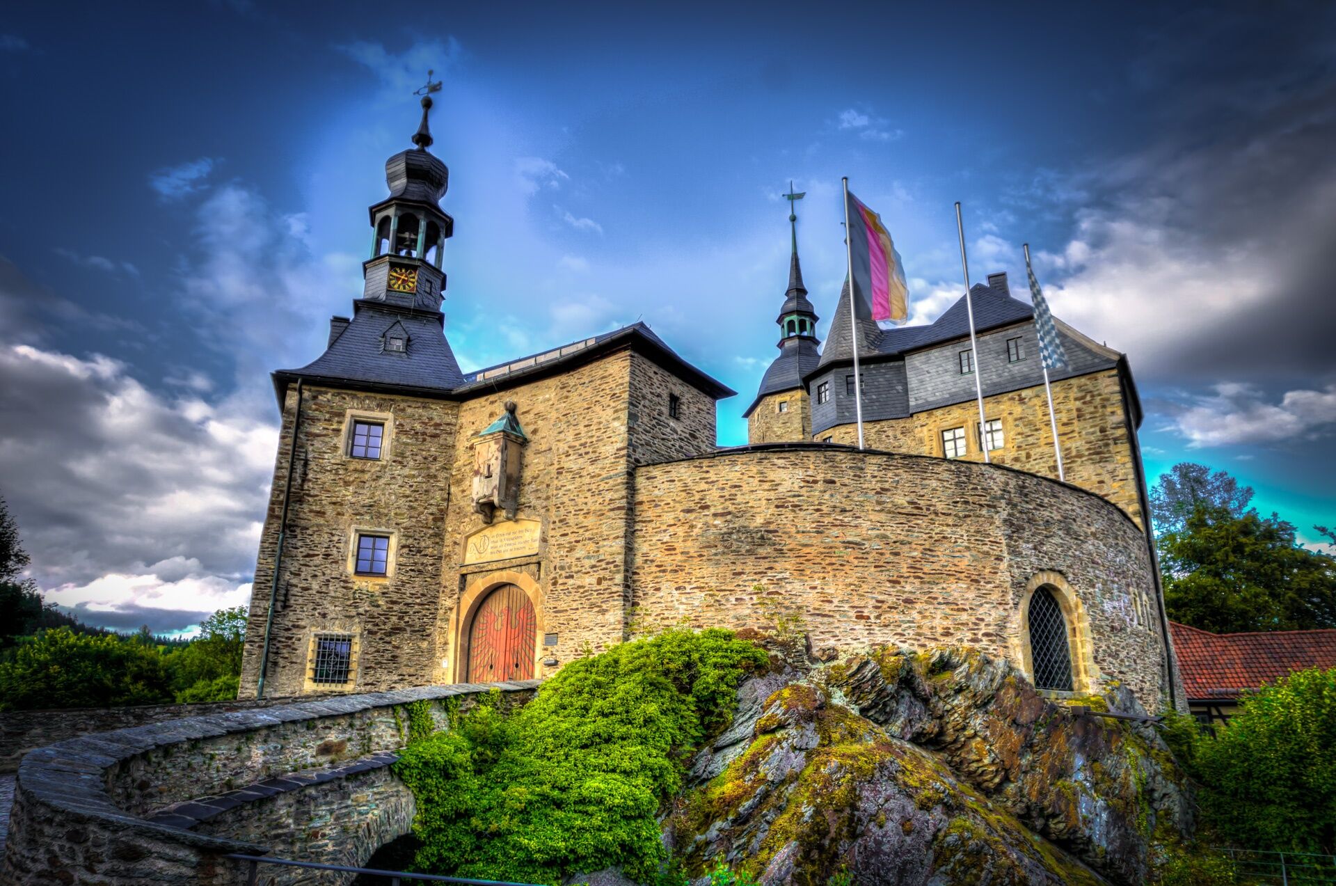
ProbstzellaZiermannsbruch2,6 kmFriedrichshoffnung4,4 kmAussicht Steinbruch14,5 kmGasthaus und Pension "Zur Linde"15,4 kmSchmiedebach15,5 kmGloppenbach16,9 kmSt. Agathen18,8 kmLehesten18,8 kmGasthof Glück Auf!18,9 kmStaatsbruch20,7 kmOttendorf26,9 kmLudwigsstadt27,8 kmOberneuhüttendorf30,5 kmEbersdorf32,2 kmEbene35,9 kmLauenstein37,4 kmGoldner Löwe37,5 kmSpringelhof37,8 kmRatzenberg (678 m)41,6 kmGräfenthal47,8 kmSpitzberg49,8 kmProbstzella56,5 kmStapel56,6 km
- Beste sesong
-
jan.feb.marsaprilmaijunijuliaug.sep.okt.nov.des.
- Høyeste punkt
- 717 m
- Reisemål
-
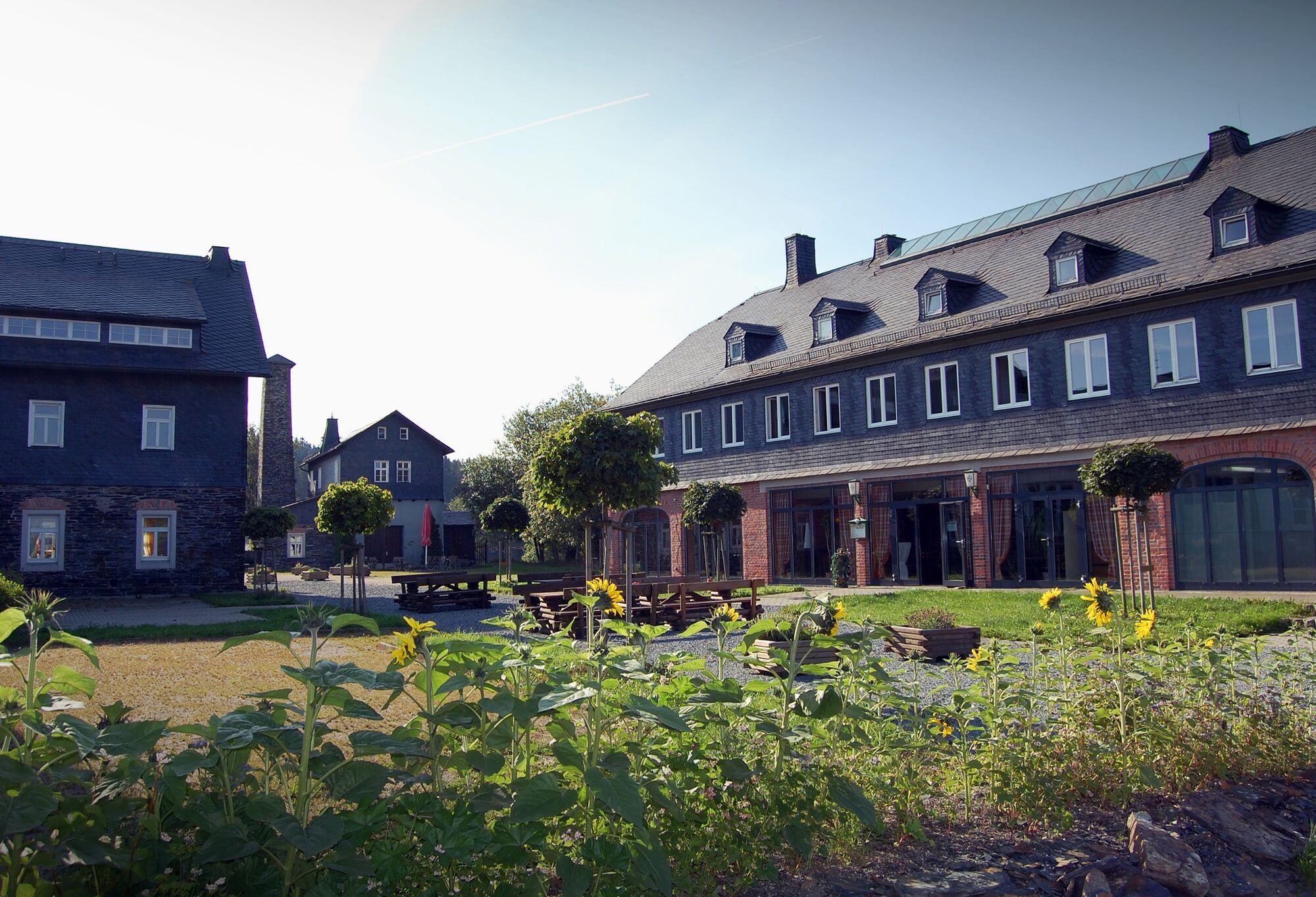
Probstzella market place
- Høydeprofil
-
 © outdooractive.com

- Forfatter
-
Turneen Circular hiking trail - Slate path on the "Green Belt" - Probstzella - Thuringian Forest brukes av outdooractive.com forutsatt.
GPS Downloads


Generell info
Forfriskningsstopp
Kulturell/Historisk
Innsidertips
Flora
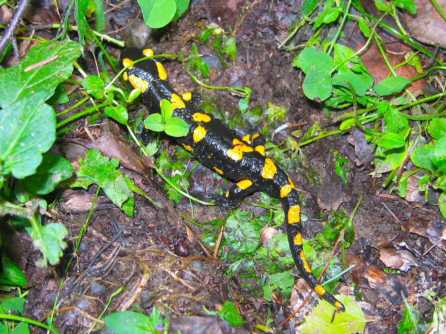
Fauna
Lovende
Flere turer i regionene