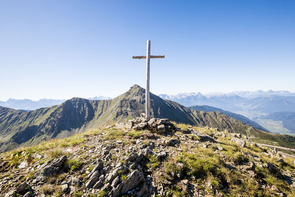
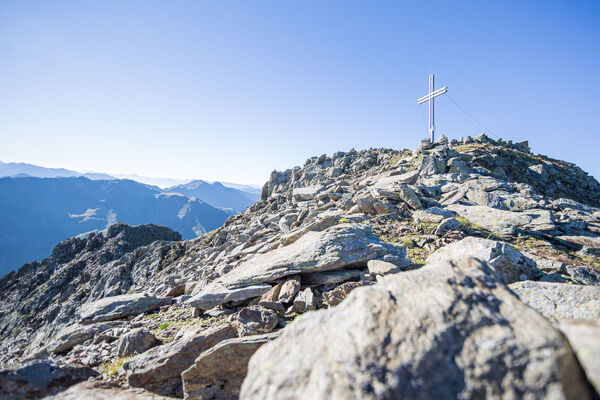
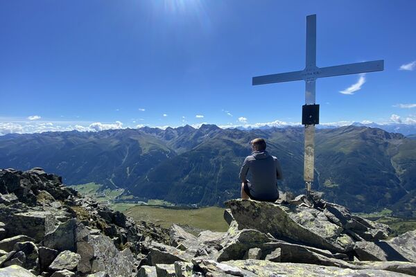
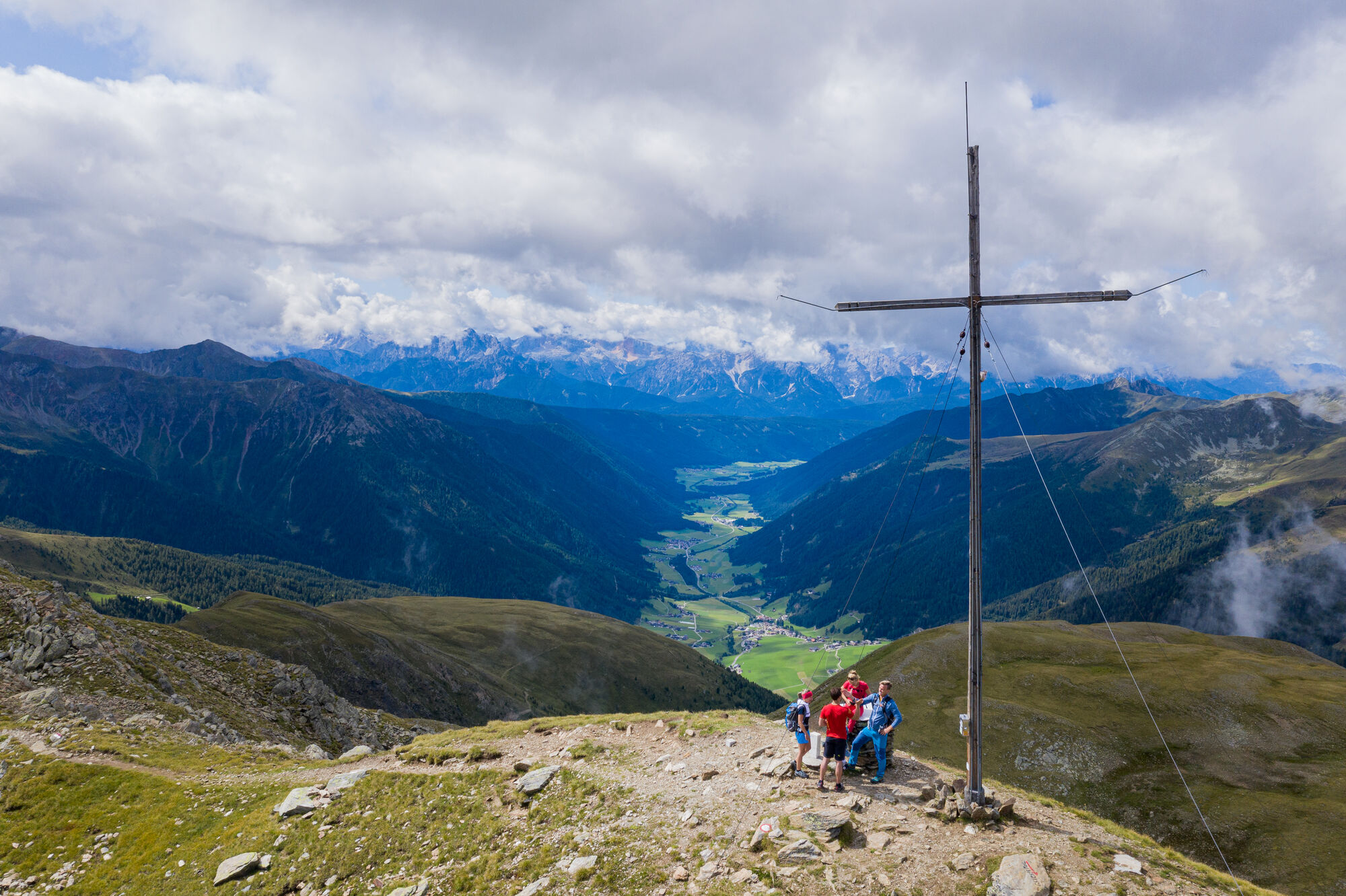
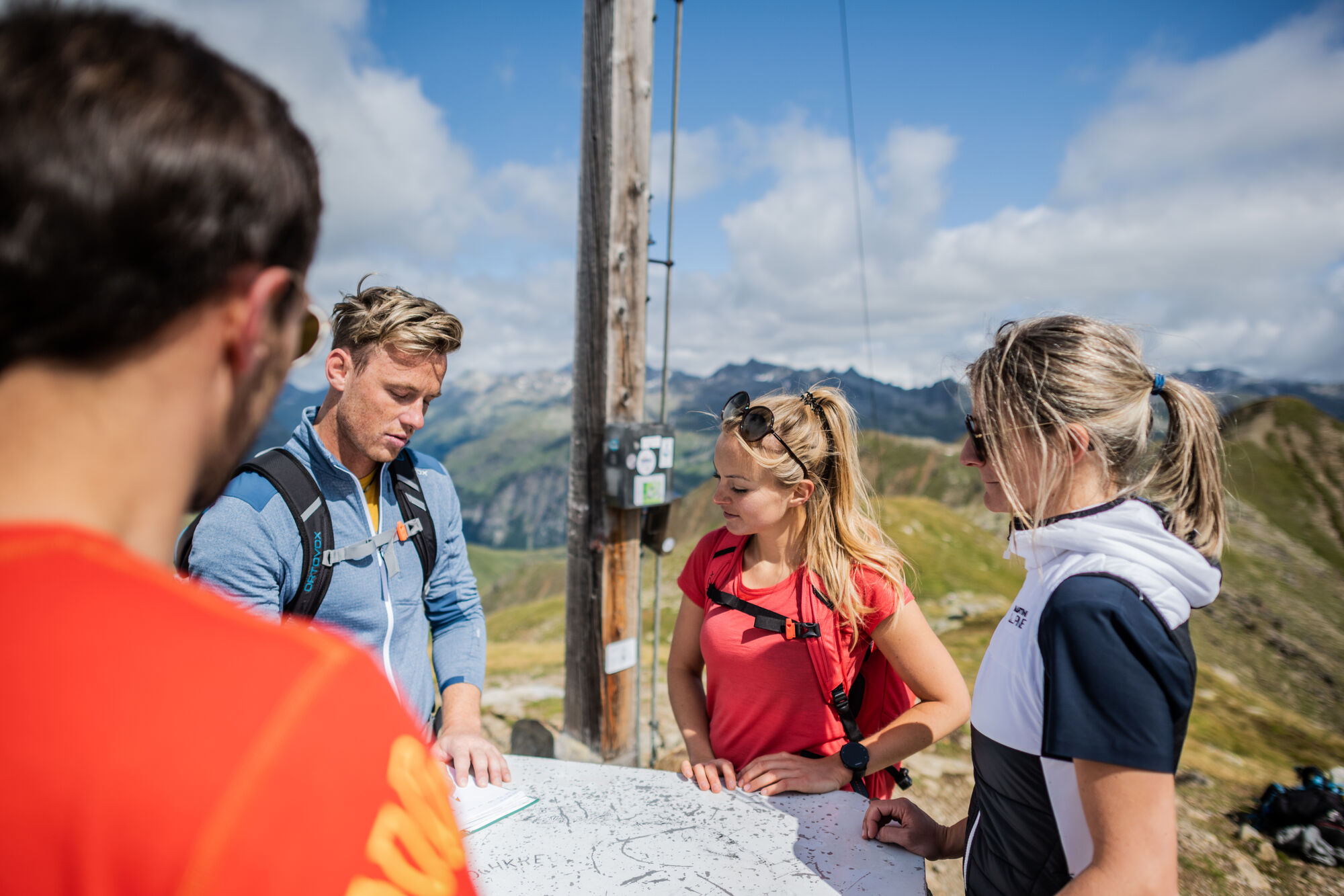
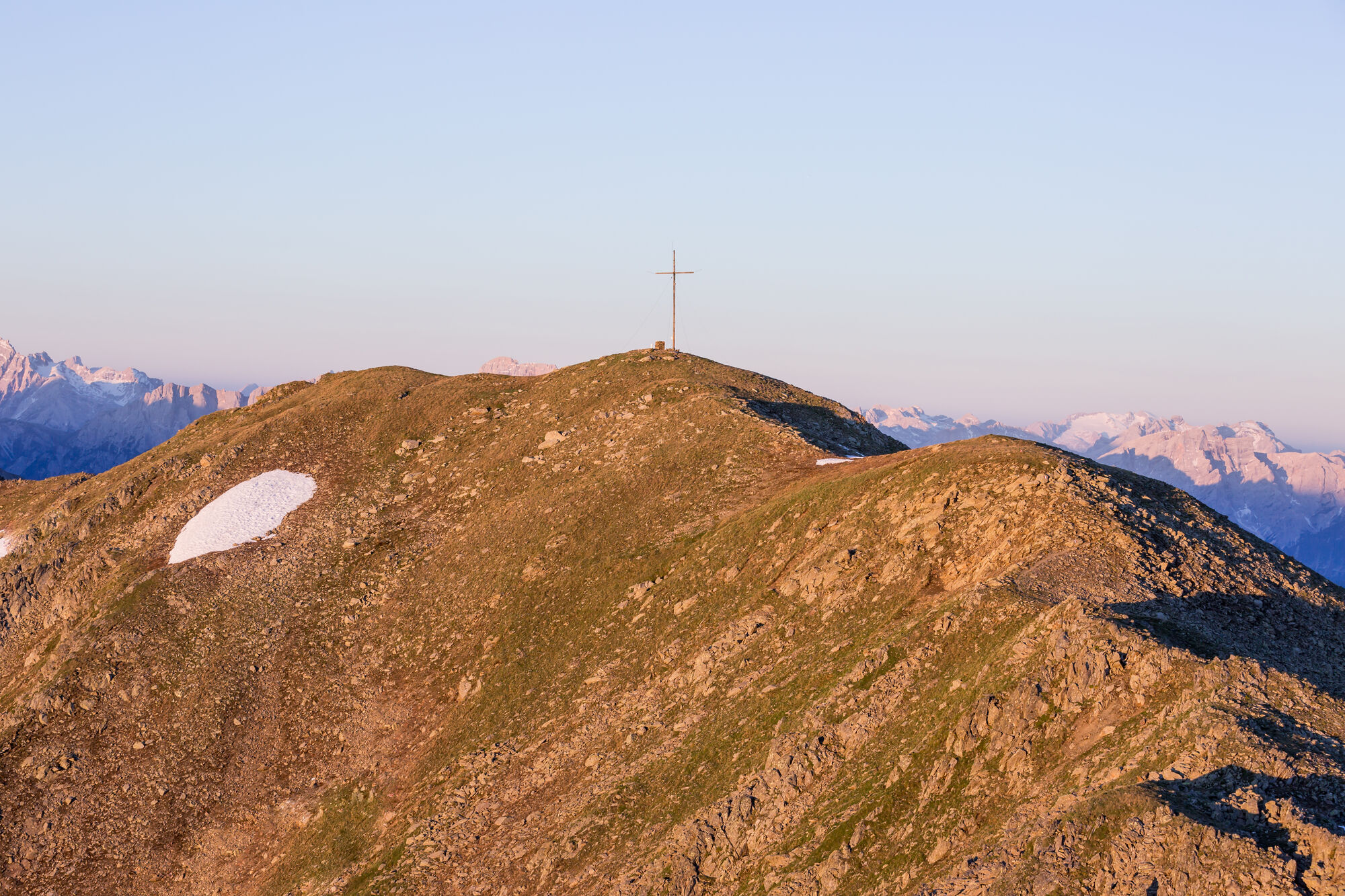
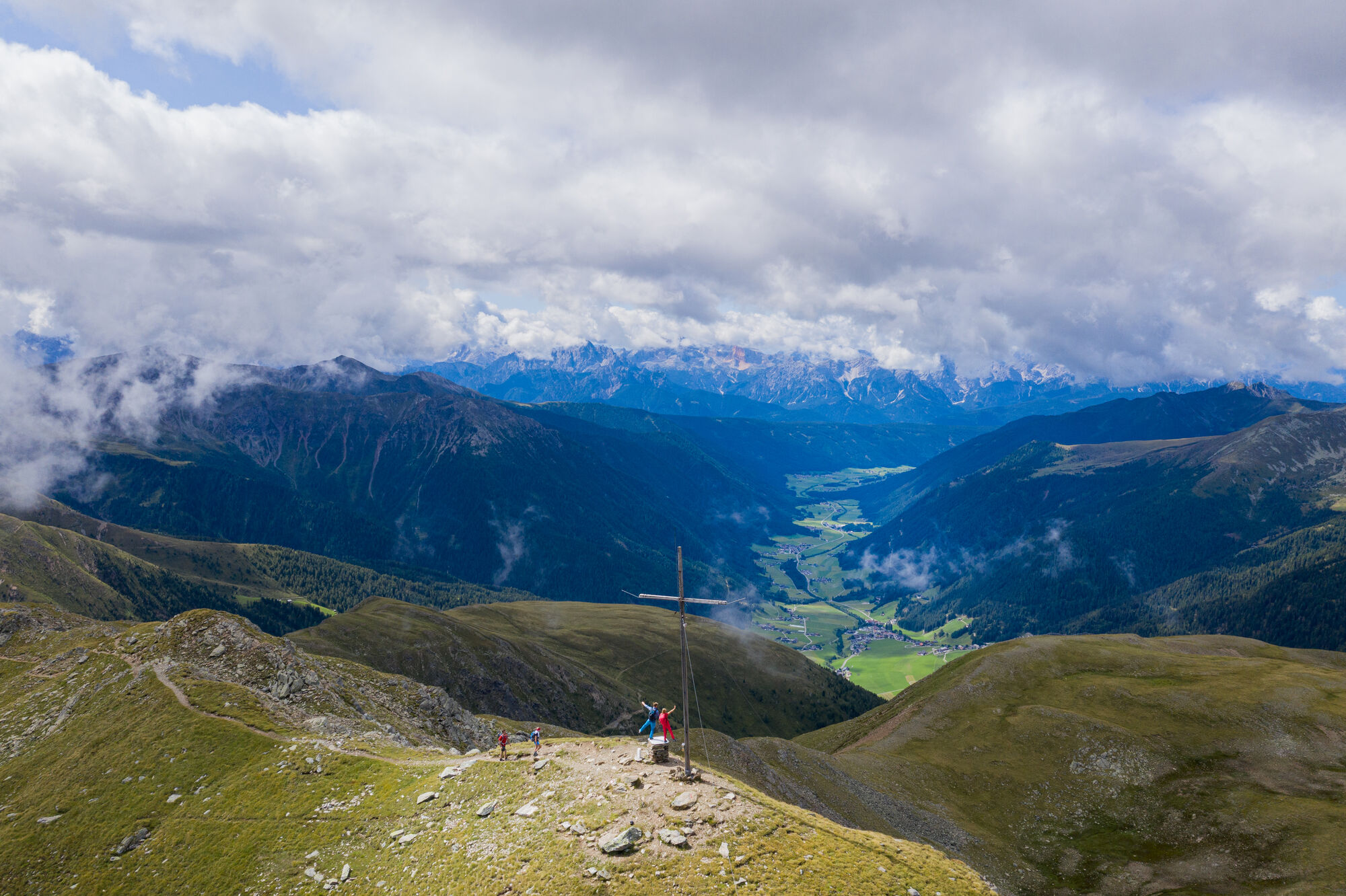
Mountain hike to Schwarzsee (2455m) and mountain Hochkreuzspitze (2739m)


HARALD WISTHALER


Turdatoer
17,16km
1.462
- 2.733m
1.307hm
1.331hm
06:00h
- Kort beskrivelse
-
Schwarzsee (2455m) and mountain Hochkreuzspitze (2739m)
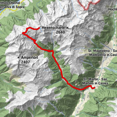
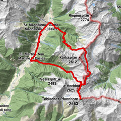
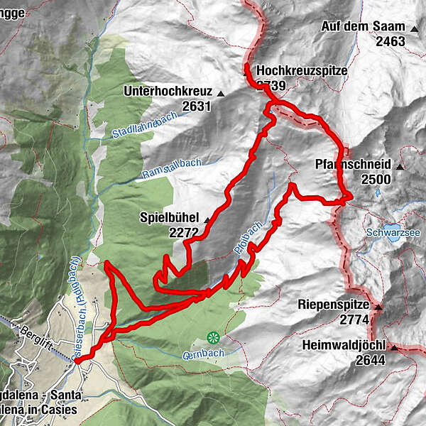
Mountain tour into uppermost Villgraten (Austria)Starting point: Val Casies Valley/S.Maddalena head of the valley.
Length of the tour: 17 km
Circular hiking tour
Duration: 07:00 h
Difficulty: difficult
Difference in altitude: 1387 m - Vanskelighet
-
vanskelig
- Evaluering
-
- Rute
-
TalschlusshütteBinter Höfe0,2 kmVier Schupfen5,4 kmHöllböden (2.710 m)7,8 kmPfoischarte (2.608 m)9,0 kmMittlerhochkreuz (2.718 m)9,3 kmHochkreuzspitze (2.739 m)9,5 kmSpielbühel (2.272 m)12,5 kmUwaldalm13,5 kmUwald Alm (2.030 m)13,5 kmBinter Höfe16,9 kmTalschlusshütte17,1 km
- Beste sesong
-
jan.feb.marsaprilmaijunijuliaug.sep.okt.nov.des.
- Høyeste punkt
- 2.733 m
GPS Downloads


Flere turer i regionene