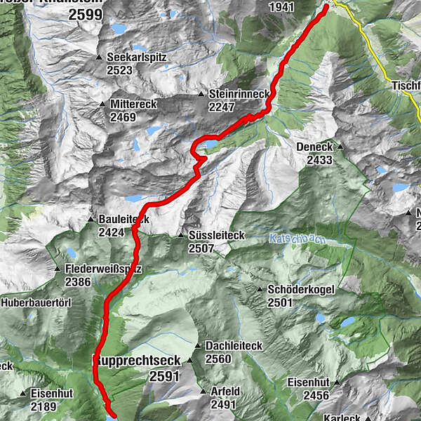
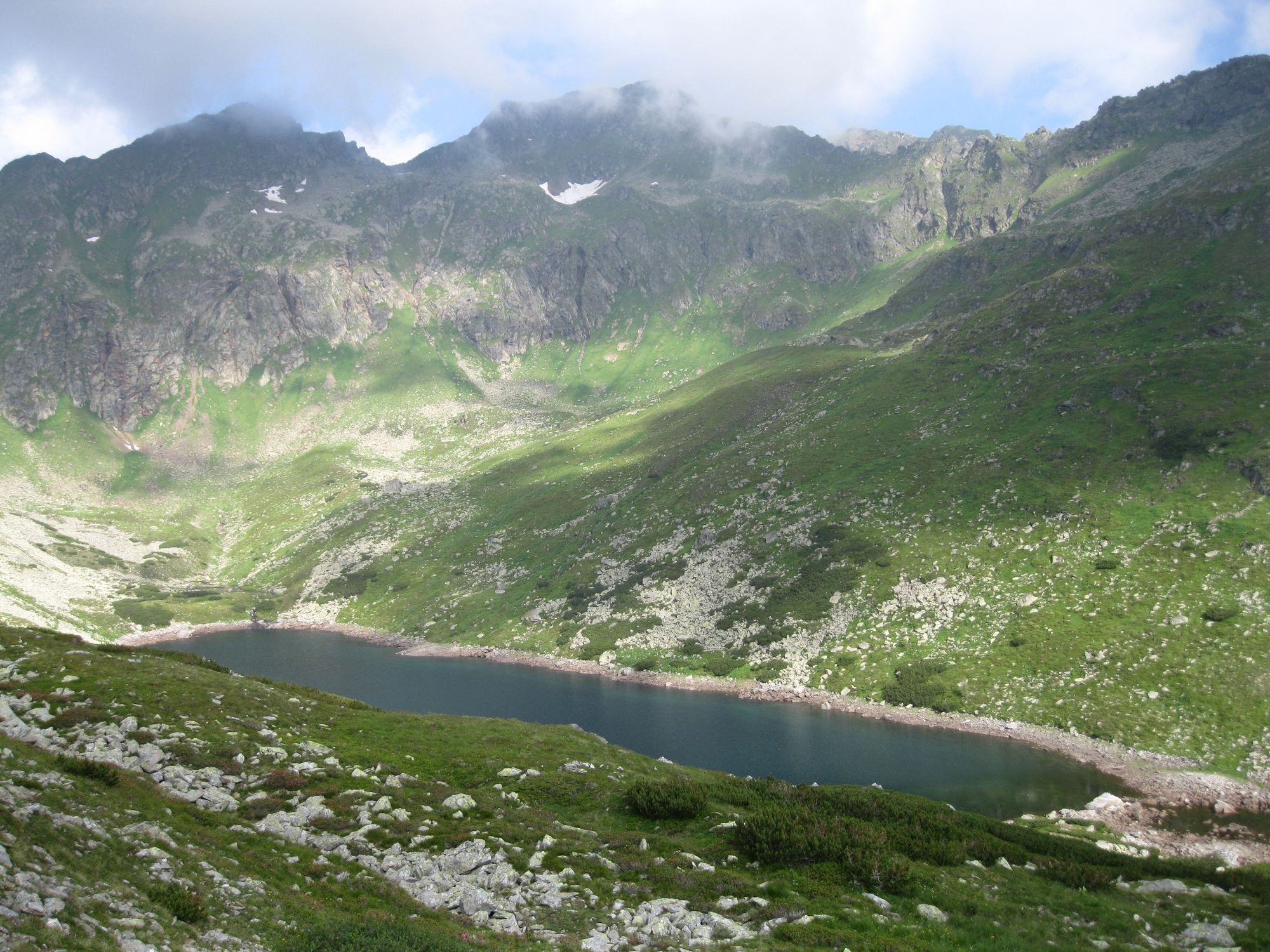
Via the Hohensee to the Schimpelscharte and Etrachsee in the Krakau region


© Fotograf Volkhard Maier - Schladming Dachstein

© Erlebnisregion Schladming-Dachstein - Schladming Dachstein

© Erlebnisregion Schladming-Dachstein - Schladming Dachstein

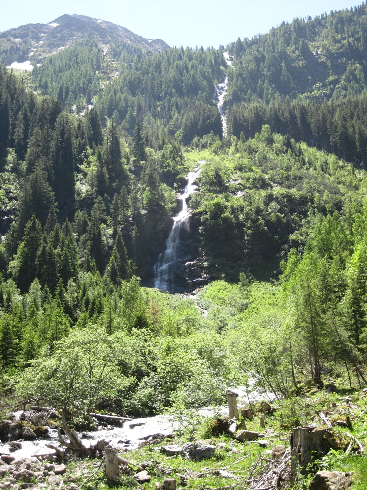
© Fotograf Volkhard Maier - Schladming Dachstein

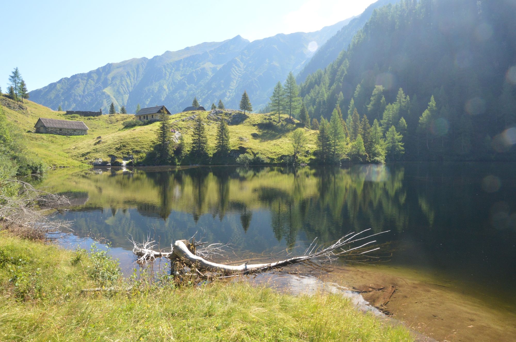
© Fotograf Volkhard Maier - Schladming Dachstein

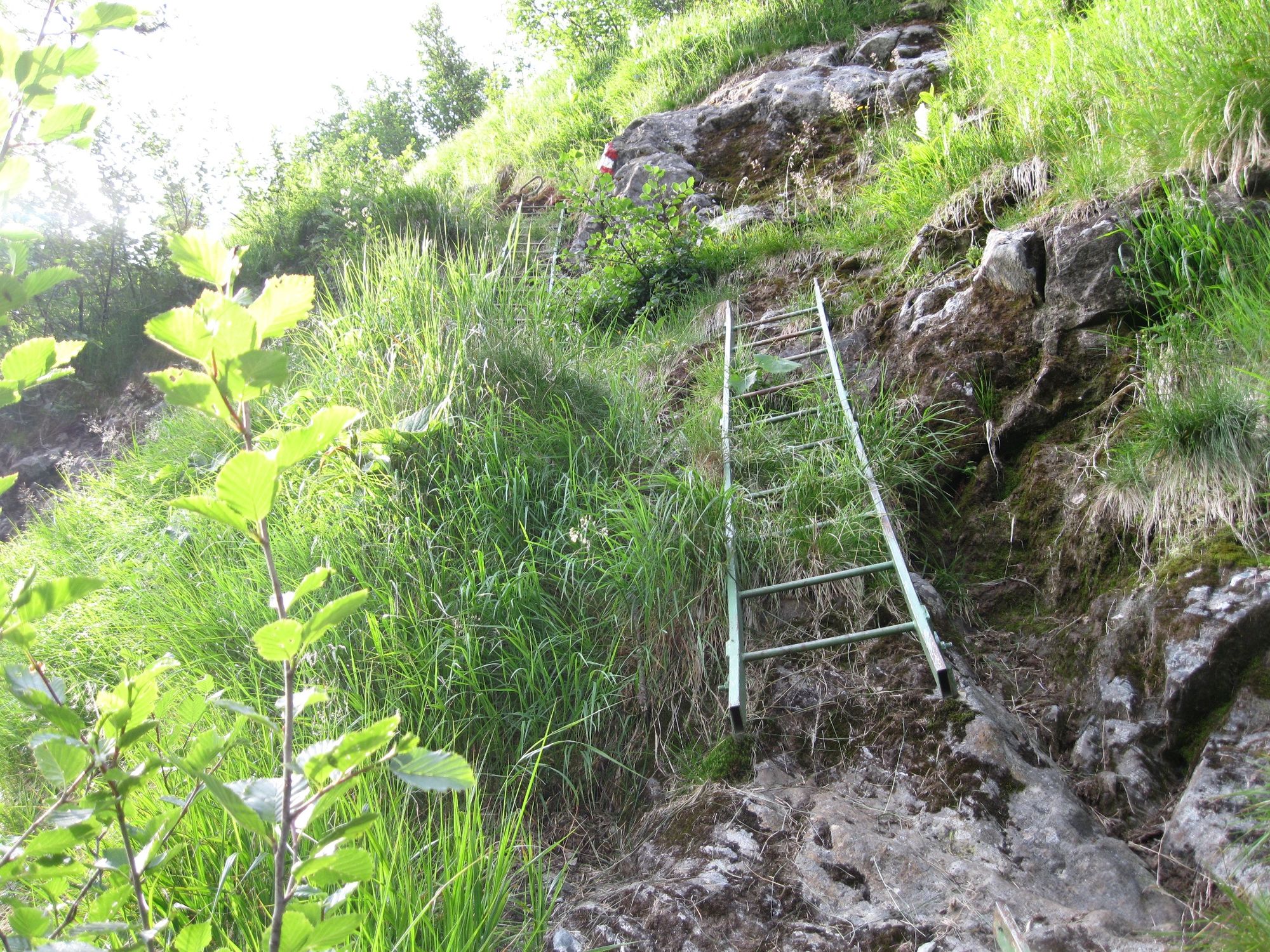
© Fotograf Volkhard Maier - Schladming Dachstein
- Kort beskrivelse
-
This long traverse of the Tauern along old pathways is very diverse, remote, with several unique geographic features along the way. Return on the valley bus over Sölkpass.
- Vanskelighet
-
vanskelig
- Evaluering
-
- Rute
-
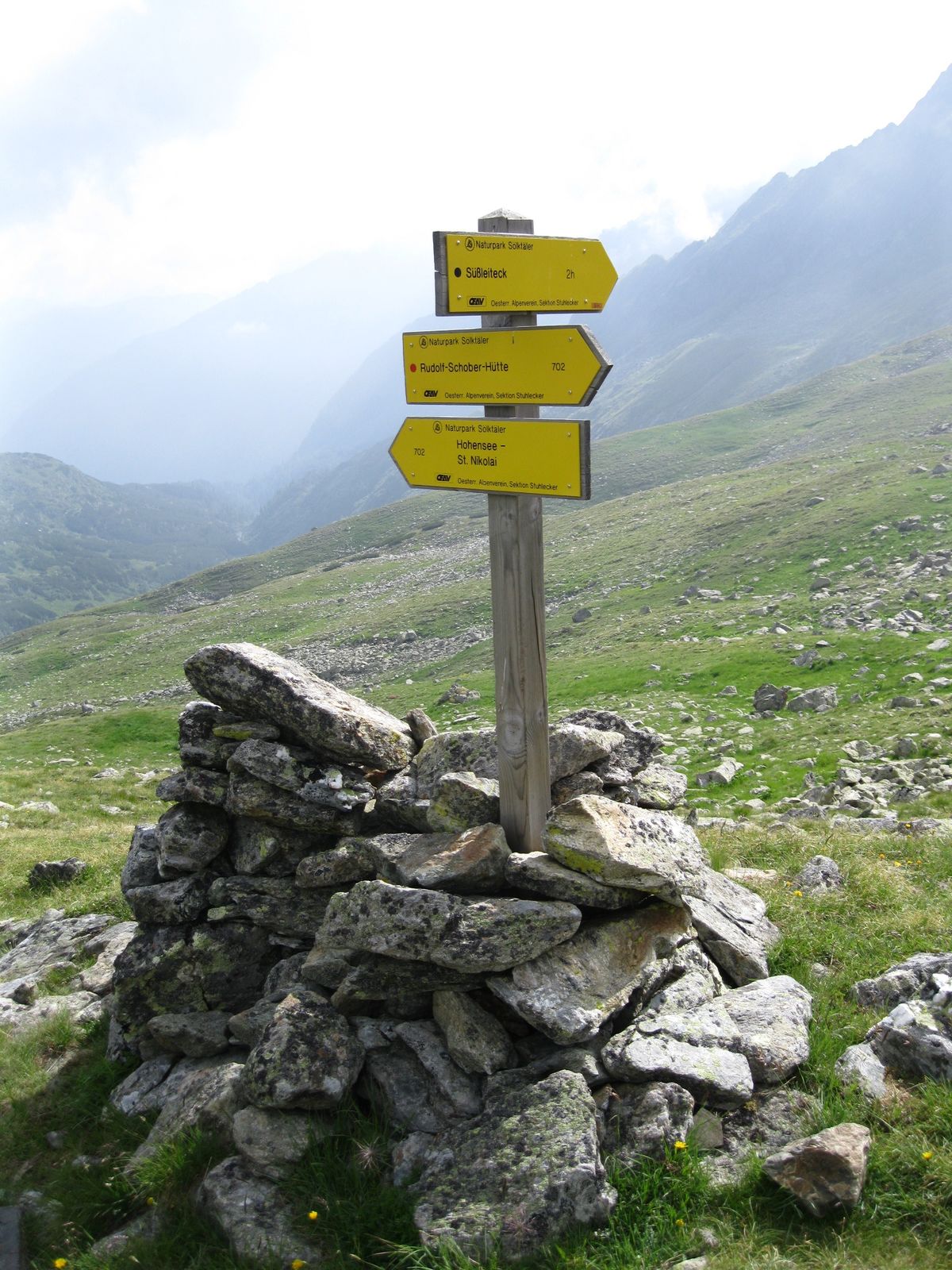
Sankt Nikolai im SölktalDürrmoos Wasserfall3,4 kmSchimpelscharte (2.273 m)9,2 kmRudolf-Schober-Hütte11,5 km
- Beste sesong
-
jan.feb.marsaprilmaijunijuliaug.sep.okt.nov.des.
- Høyeste punkt
- 2.252 m
- Reisemål
-
Etrachsee
- Høydeprofil
-


- Forfatter
-
Turneen Via the Hohensee to the Schimpelscharte and Etrachsee in the Krakau region brukes av outdooractive.com forutsatt.
GPS Downloads


Generell info
Forfriskningsstopp
Flora
Fauna
Lovende
Flere turer i regionene


