© Skiinfo & Bergleben

- Kort beskrivelse
-
An extended, but through the numerous stations comfortable hike to the highest peak on the eastern edge of the Alps, the Stuhleck. The panoramic view extends from the summit as well as on parts of the ascent from Hochschwab over the Gesäuse, the Rax massif to the Pannonian lowlands with the offshore eastern Styria.
- Vanskelighet
-
vanskelig
- Evaluering
-
- Rute
-
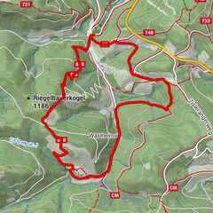
RetteneggSticklberg0,6 kmStuhleck (1.782 m)6,8 kmRennbauerhöhe (1.369 m)10,7 kmForellengasthof Joglland15,1 kmRettenegg15,9 km
- Beste sesong
-
jan.feb.marsaprilmaijunijuliaug.sep.okt.nov.des.
- Høyeste punkt
- 1.769 m
- Reisemål
-
Stuhleck / Alois Günther House
- Høydeprofil
-


-

-
ForfatterTurneen In the footsteps of Peter Rosegger - On the Planet Trail brukes av outdooractive.com forutsatt.
GPS Downloads


Generell info
Forfriskningsstopp
Kulturell/Historisk
Flora
Fauna
Lovende
Flere turer i regionene
-
Hochsteiermark
4082
-
Waldheimat
2196
-
Rettenegg
457