© Heribert Hahn - TV Joglland Waldheimat

© Gemeinde Ratten - TV Joglland Waldheimat
- Kort beskrivelse
-
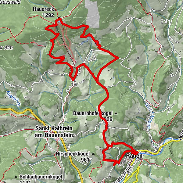
A varied themed hike that takes you along forest and field paths, local roads and short climbs to the summit of the Hauereck and thus also connects the communities of Ratten and St. Kathrein am Hauenstein.
- Vanskelighet
-
middels
- Evaluering
-
- Rute
-
Ratten0,2 kmKirchenriegel2,7 kmHauereckschutzhütte8,4 kmHauereck (1.292 m)8,4 kmSonnenhütte8,6 kmBergbausiedlung11,9 kmKirchenriegel14,8 kmRatten16,3 km
- Beste sesong
-
jan.feb.marsaprilmaijunijuliaug.sep.okt.nov.des.
- Høyeste punkt
- 1.301 m
- Reisemål
-
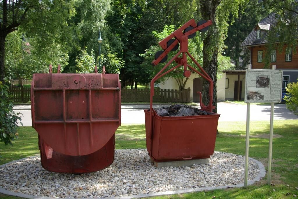
Mining Museum
- Høydeprofil
-


- Forfatter
-
Turneen Montanweg - Ratten - St. Kathrein am Hauenstein brukes av outdooractive.com forutsatt.
GPS Downloads


Generell info
Forfriskningsstopp
Kulturell/Historisk
Innsidertips
Lovende
Flere turer i regionene