
- Kort beskrivelse
-
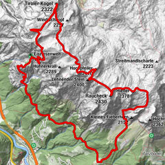
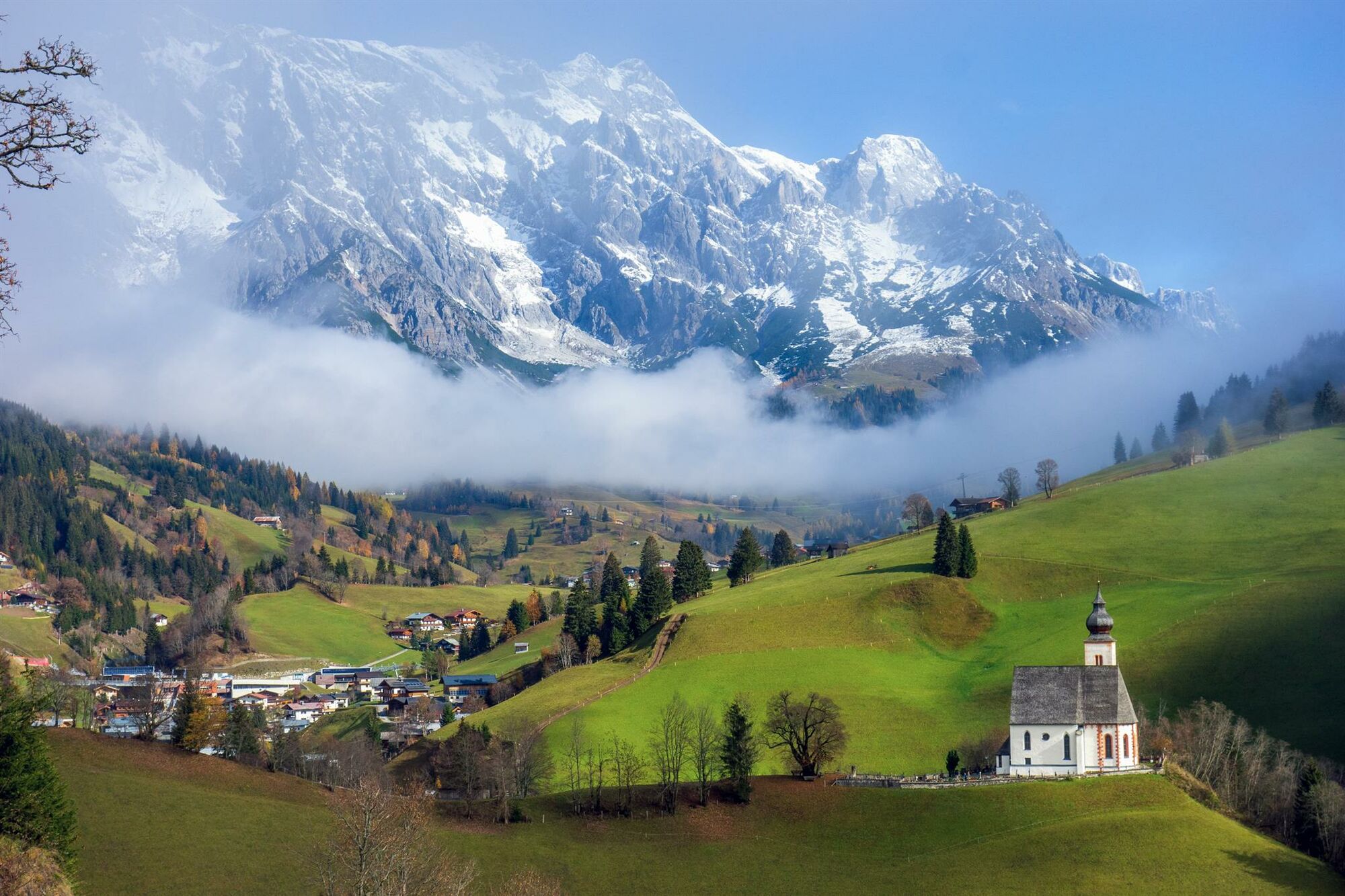
A challenging and panoramic hike with breathtaking panoramic views.
- Vanskelighet
-
vanskelig
- Evaluering
-
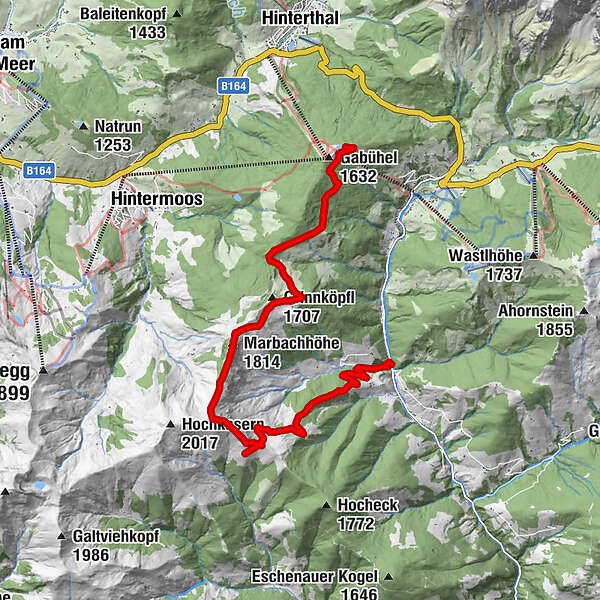
- Rute
-
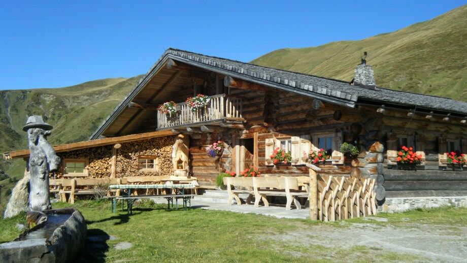
Gabühelhutte0,1 kmMarbachhöhe (1.814 m)5,6 kmKlingspitz (1.988 m)7,0 kmBründlingkapelle8,0 kmHochkaseralm8,3 kmSource9,7 km
- Beste sesong
-
jan.feb.marsaprilmaijunijuliaug.sep.okt.nov.des.
- Høyeste punkt
- 1.959 m
- Reisemål
-
Keilbrücke
- Høydeprofil
-


- Forfatter
-
Turneen Alpine hike to the Hochkaseralm brukes av outdooractive.com forutsatt.
GPS Downloads


Generell info
Forfriskningsstopp
Lovende
Flere turer i regionene
-
Hochkönig
2016
-
Dienten am Hochkönig
536