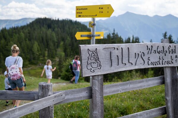
© Fotograf Florian Bachmeier - Tourismusverband Raurisertal

© Fotograf Florian Bachmeier - Tourismusverband Raurisertal

© Unbekannt - Tourismusverband Raurisertal

- Kort beskrivelse
-
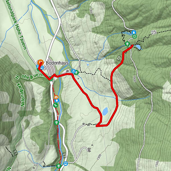
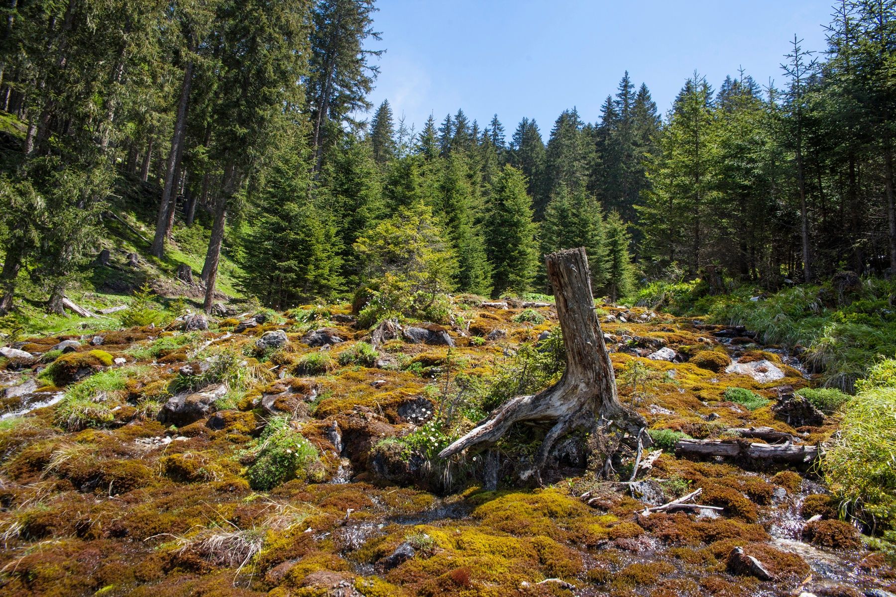
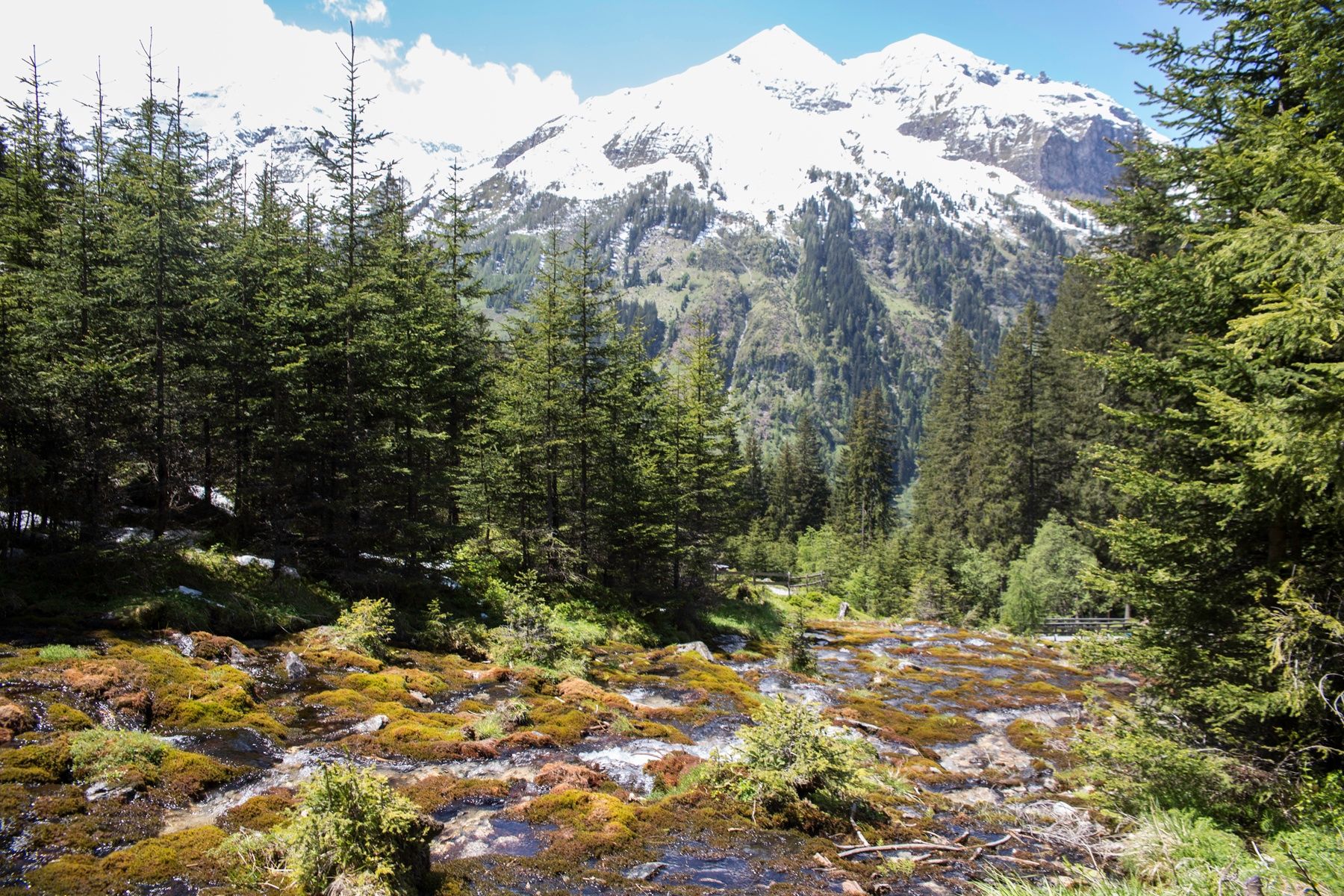
The hike to the "Rauriser UrQuell" power place is really refreshing. More than 300 natural springs, countless waterfalls and mountain streams can be found in the Rauris Valley. In the "Valley of the Springs" you will find the Rauriser UrQuell as well as the water information path in the Seidlwinkltal, the Summererpark water playground, the Kitzlochklamm in Taxenbach and numerous drinking water fountains along the hiking trails.
- Vanskelighet
-
lett
- Evaluering
-
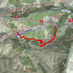
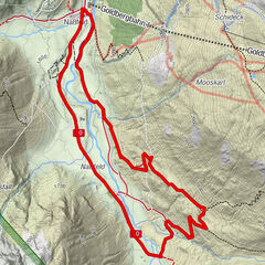
- Rute
-
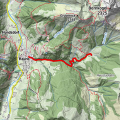
Bodenhaus0,0 kmWaldgeheimnis1,6 km
- Beste sesong
-
jan.feb.marsaprilmaijunijuliaug.sep.okt.nov.des.
- Høyeste punkt
- 1.387 m
- Reisemål
-
Rauriser well
- Høydeprofil
-

-
-
ForfatterTurneen Rauris: Rauriser UrQuell No. 25 brukes av outdooractive.com forutsatt.
GPS Downloads


Generell info
Forfriskningsstopp
Kulturell/Historisk
Innsidertips
Flora
Fauna
Lovende
Flere turer i regionene