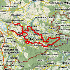
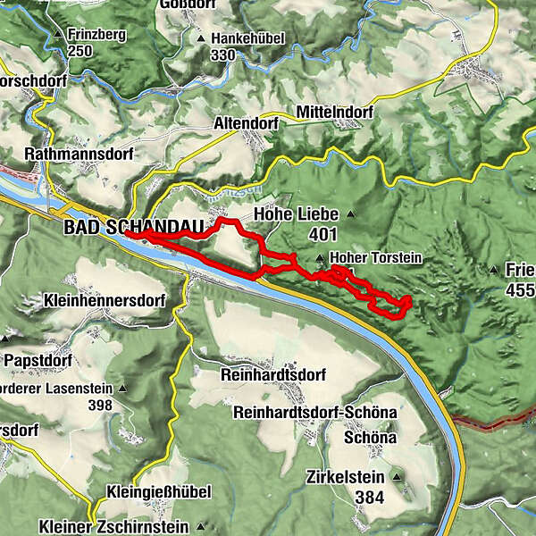
Bad Schandau - Schrammsteinaussicht - Breite Kluft - Bad Schandau


© Tourismusverband Sächsische Schweiz - Philipp Zieger

© Tourismusverband Sächsische Schweiz - Sabine Meisel / Tourismusverband Sächsische Schweiz e.V.

© Tourismusverband Sächsische Schweiz - Sabine Meisel / Tourismusverband Sächsische Schweiz e.V.

© Tourismusverband Sächsische Schweiz - Nicole Simmchen

© Tourismusverband Sächsische Schweiz - Nicole Simmchen

© Tourismusverband Sächsische Schweiz - Nicole Simmchen

© Tourismusverband Sächsische Schweiz - Nicole Simmchen

© Tourismusverband Sächsische Schweiz - Nicole Simmchen

© Tourismusverband Sächsische Schweiz - Stephan Junghanß

© Tourismusverband Sächsische Schweiz - Philipp Zieger
- Kort beskrivelse
-
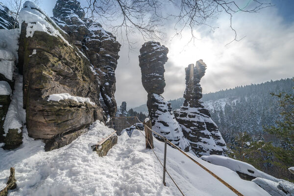
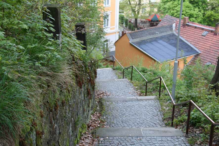
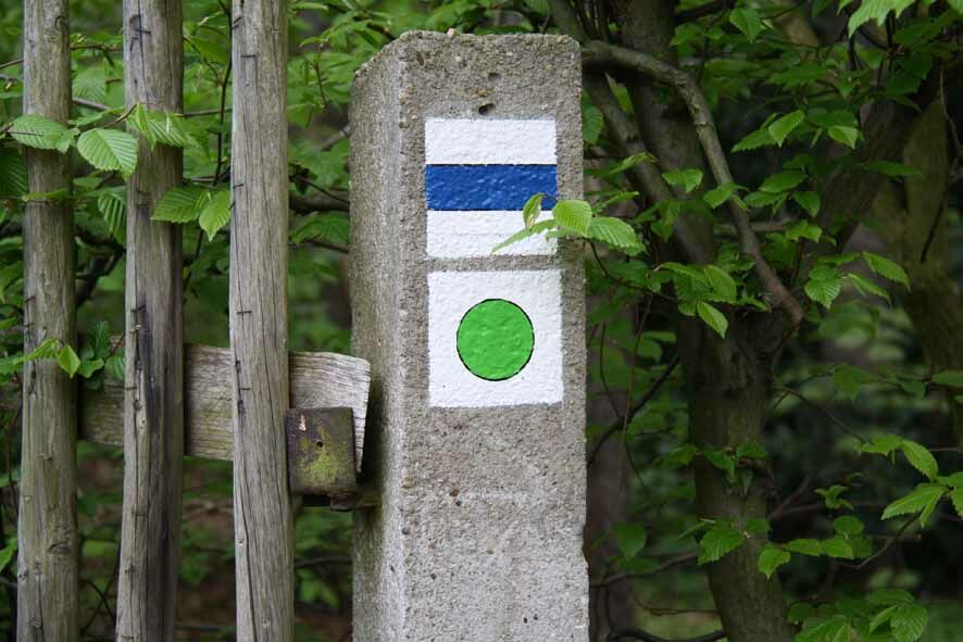
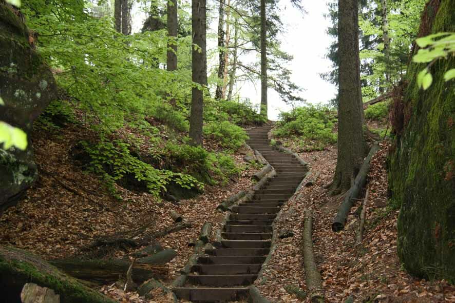
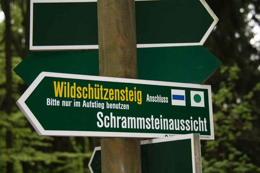
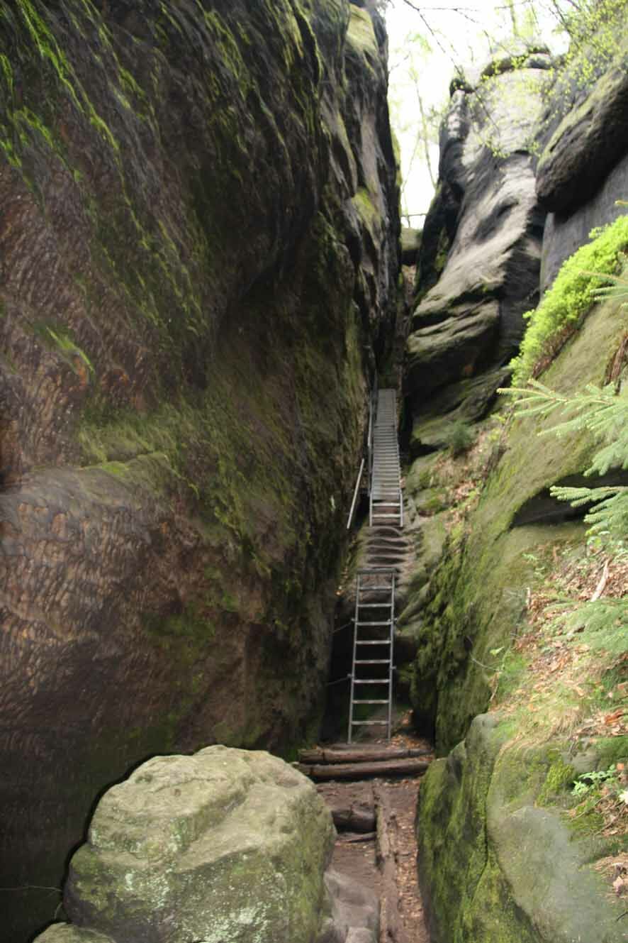
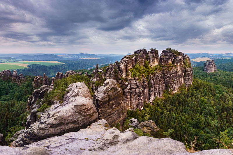
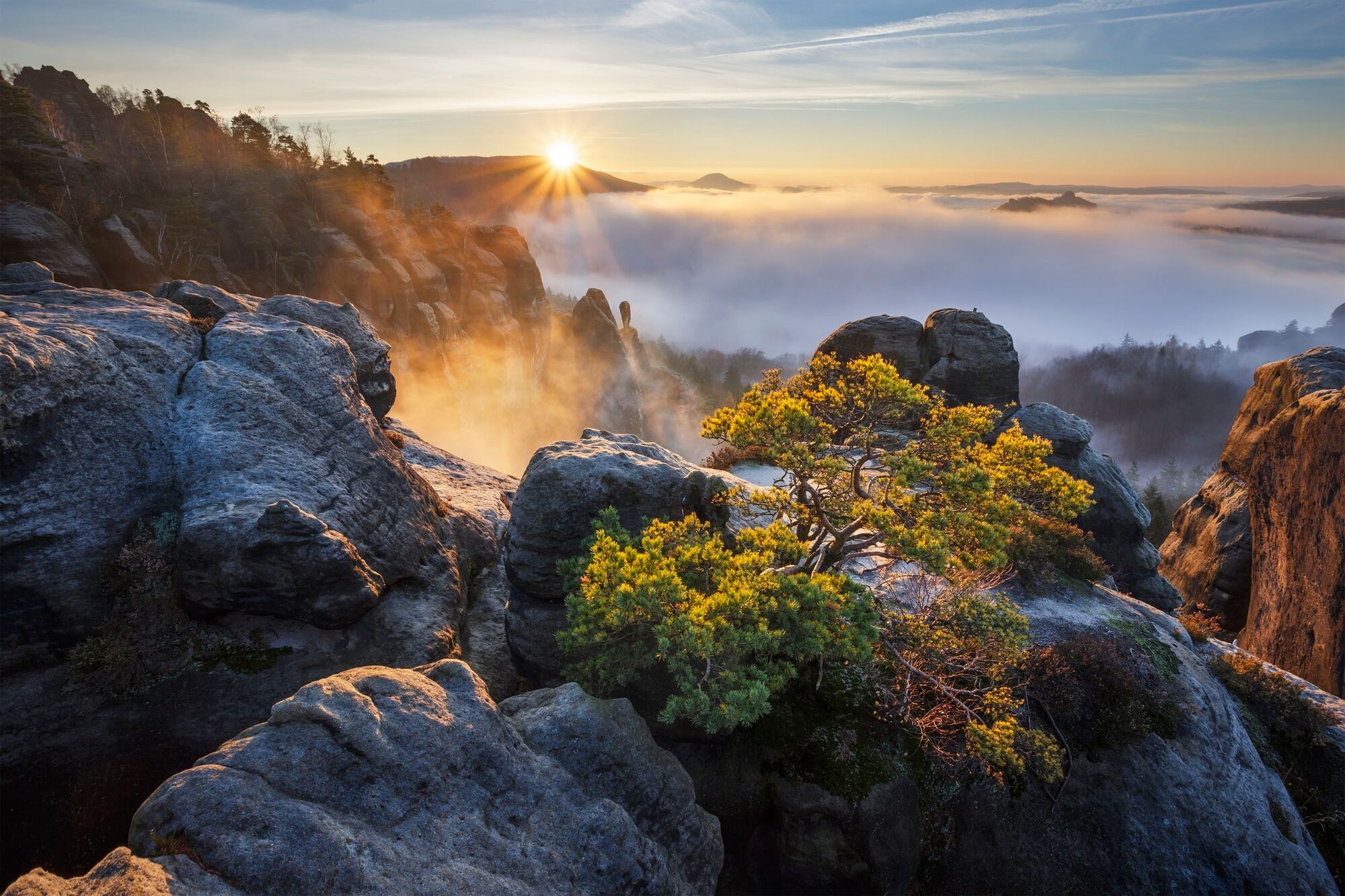
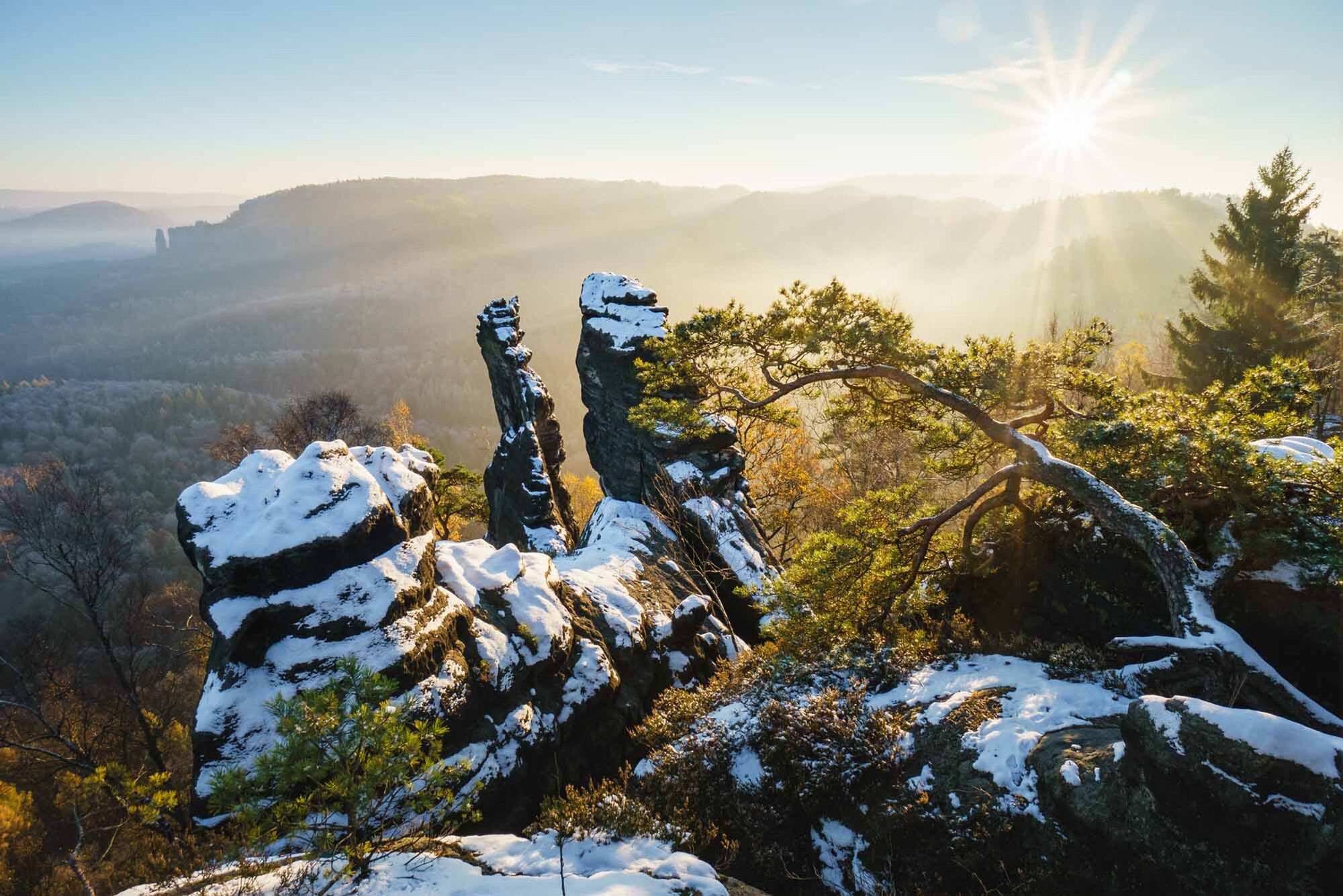
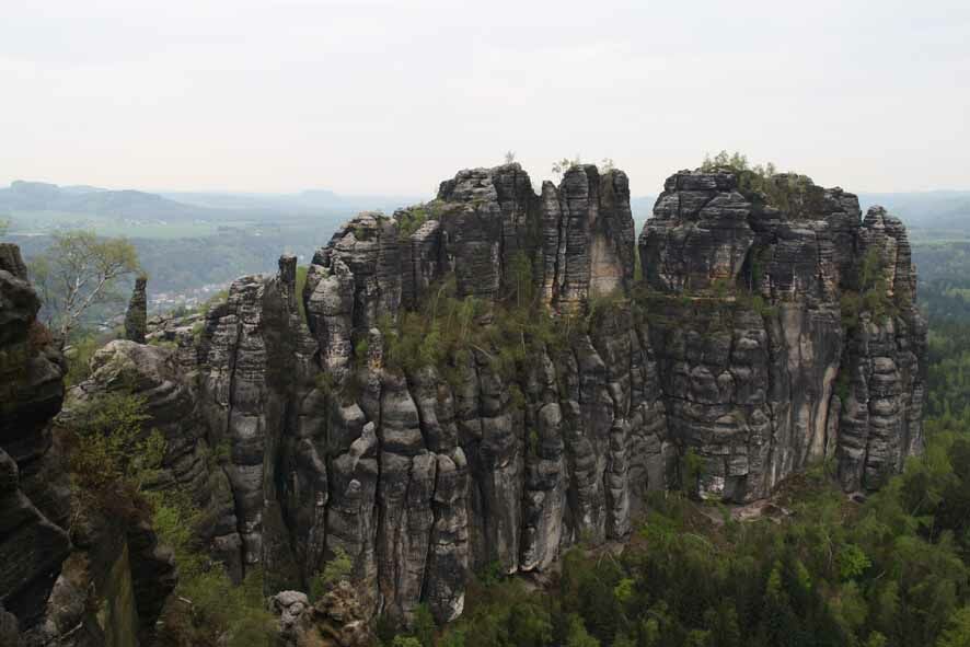
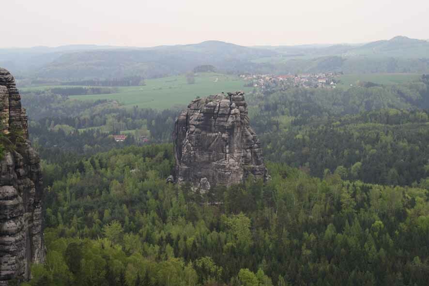
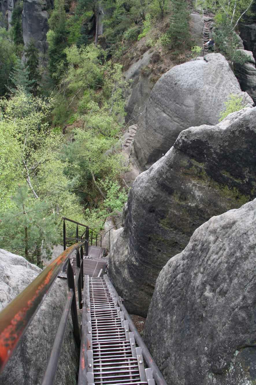
Exciting hike through the Schrammsteine, which is characterised by numerous iron ladders and bridges, phenomenal views and bizarre climbing rocks.
- Vanskelighet
-
vanskelig
- Evaluering
-
- Rute
-
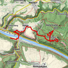
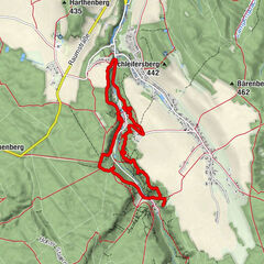
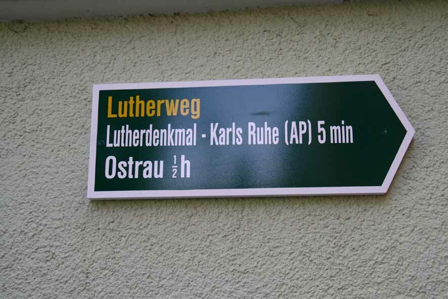
St. Johanniskirche0,1 kmBad Schandau (146 m)0,1 kmOstrauer Hof1,9 kmOstrau2,0 kmSpitzer Turm (342 m)4,4 kmViererturm4,4 kmUnbenannte Spitze (344 m)4,4 kmNördlicher Osterturm (370 m)4,4 kmSüdlicher Osterturm (366 m)4,4 kmOstervorturm4,4 kmSchrammtor4,4 kmSchrammtorfreund4,4 kmSchrammtorwächter (357 m)4,4 kmZackenkrone4,5 kmMax und Moritz4,5 kmFotografenspitze4,5 kmÖstlicher Schrammturm4,6 kmSchrammsteinkegel4,6 kmSchrammsteinnadel4,6 kmWetterhaube4,8 kmMädel5,0 kmJungfer5,1 kmEunuch5,1 kmWildschützennadel5,1 kmWildschützenkopf5,1 kmElbaussicht5,4 kmMittelturm5,4 kmSchrammsteinwächter5,4 kmSchrammsteine5,4 kmSchrammsteine5,6 kmRegenturm6,0 kmWandwächter6,0 kmBreite-Kluft-Aussicht6,9 kmBreite-Kluft-Wand6,9 kmÖstlicher Schrammturm9,6 kmSchrammsteinkegel9,6 kmFotografenspitze9,6 kmZackenkrone9,7 kmMax und Moritz9,7 kmSchrammtorwächter (357 m)9,7 kmSchrammtorfreund9,7 kmSchrammtor9,7 kmOstervorturm9,7 kmSüdlicher Osterturm (366 m)9,7 kmNördlicher Osterturm (370 m)9,8 kmSpitzer Turm (342 m)9,8 kmViererturm9,8 kmUnbenannte Spitze (344 m)9,8 kmObrigenwand10,7 kmZahnsborn11,0 kmBad Schandau (146 m)13,3 kmSt. Johanniskirche13,4 km
- Beste sesong
-
jan.feb.marsaprilmaijunijuliaug.sep.okt.nov.des.
- Høyeste punkt
- 392 m
- Reisemål
-
Bad Schandau
- Høydeprofil
-
 © outdooractive.com


-

-
ForfatterTurneen Bad Schandau - Schrammsteinaussicht - Breite Kluft - Bad Schandau brukes av outdooractive.com forutsatt.
GPS Downloads


Generell info
Forfriskningsstopp
Lovende
Flere turer i regionene
-
Sächsische Schweiz
1404
-
Böhmisches Schweiz
784
-
Reinhardtsdorf-Schöna
594