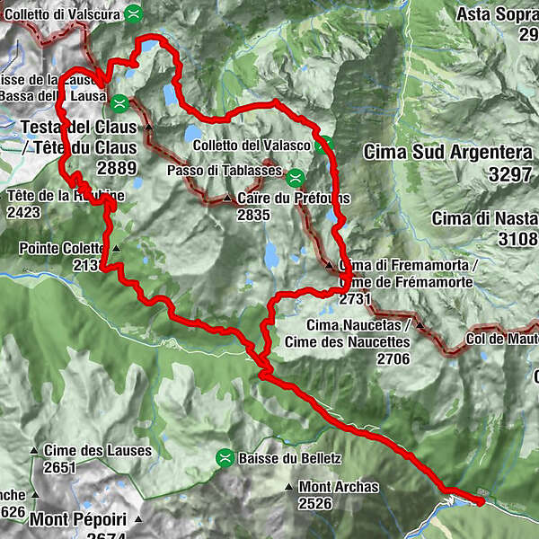
Parcours Stations de Trail n°12 - Boucle Argentera – Mercantour - noir

Trailrunning

- Kort beskrivelse
-
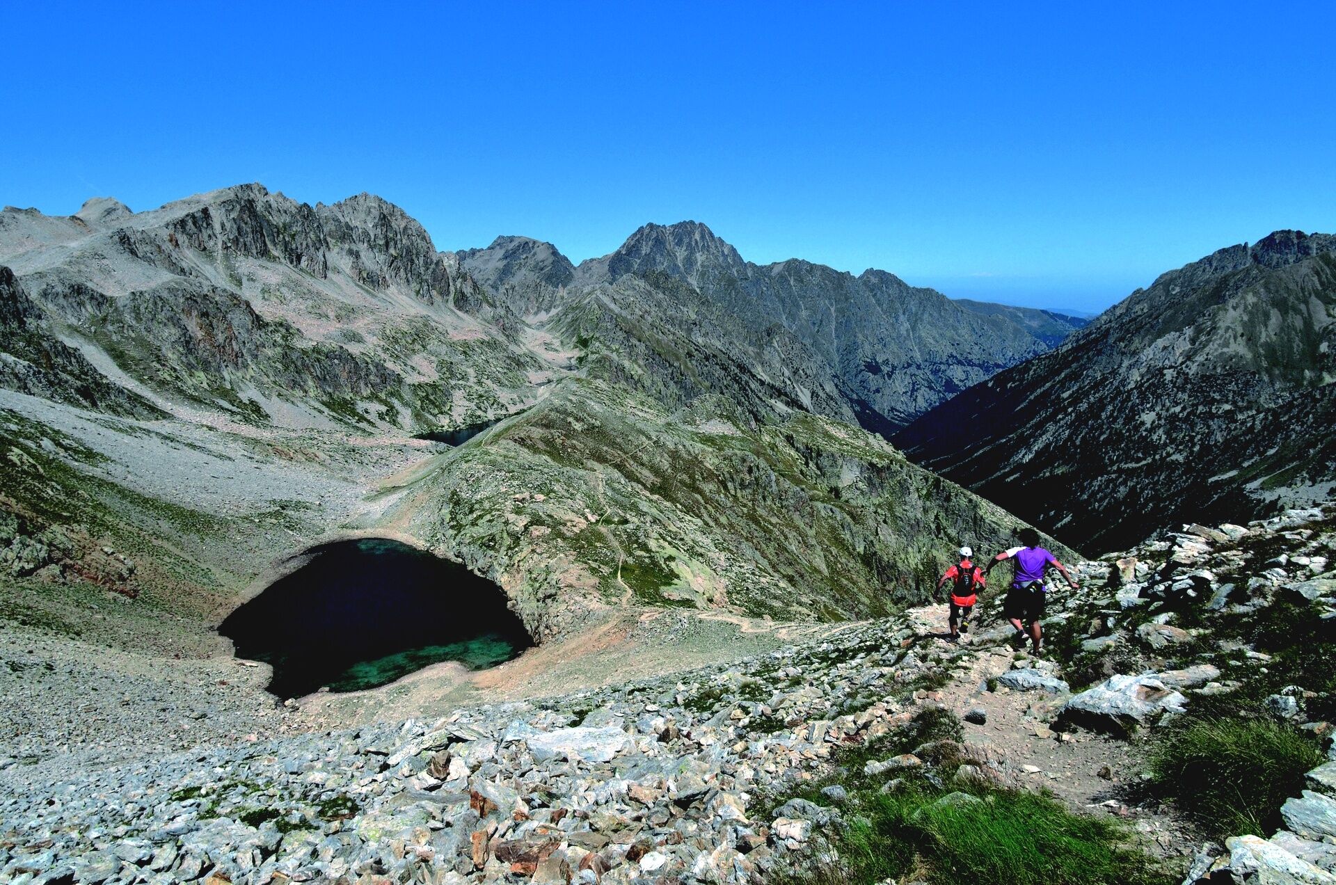
A very challenging 44.2 km trail with 1944 m of vertical drop. Starting from Le Boréon, this trail loop is suitable for experienced runners.
- Vanskelighet
-
vanskelig
- Evaluering
-
- Rute
-
L'Ô à la boucheGite d'Étape du Boréon0,2 kmGranges du Terras1,7 kmCamp Soubran (2.270 m)8,4 kmGranges du Terras41,7 kmGite d'Étape du Boréon43,3 kmL'Ô à la bouche43,6 km
- Beste sesong
-
jan.feb.marsaprilmaijunijuliaug.sep.okt.nov.des.
- Høyeste punkt
- 2.619 m
- Høydeprofil
-
 © outdooractive.com
- Forfatter
-
Turneen Parcours Stations de Trail n°12 - Boucle Argentera – Mercantour - noir brukes av outdooractive.com forutsatt.
GPS Downloads


Generell info
Flora
Lovende
Flere turer i regionene
-
Alpes-Maritimes
15
-
Valle Gesso
14