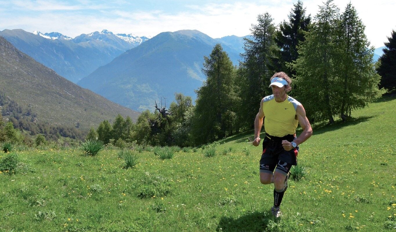
Parcours Station de trail n°7 - Caïre Gros - rouge

Trailrunning


- Kort beskrivelse
-
Trail of 19.9 kms with 1213m of ascent, starting from Venanson, for an estimated time of 2H30 to 5H
- Rute
-
VenanzoneMont Chalancha (2.102 m)7,7 kmCollet des Trous (1.982 m)10,8 kmSource de la Grave14,5 kmLe Libaret15,4 kmLes Condamines16,8 kmVenanzone20,1 km
- Høyeste punkt
- 2.007 m
- Høydeprofil
-
 © outdooractive.com
- Forfatter
-
Turneen Parcours Station de trail n°7 - Caïre Gros - rouge brukes av outdooractive.com forutsatt.
GPS Downloads


Flere turer i regionene
-
Alpes-Maritimes
15
-
Valle Gesso
14