- Kort beskrivelse
-
It's a long climb of 15.7 km with 1170 m of D+ at... 7.5%! A figure that means you'll have to make a big effort. In fact, the gradient doesn't drop below 7%, rising to 8.5% for the final stretch (1.3 km)!
- Vanskelighet
-
vanskelig
- Evaluering
-
- Rute
-
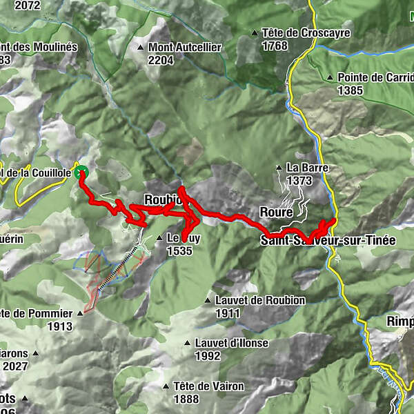
San Salvatore0,5 kmRorà2,8 kmWaterfall7,0 kmRobione10,0 kmChapelle Saint-Sébastien10,4 kmVillars12,9 kmLes Vautes13,1 kmAuberge Quintessence15,8 km
- Beste sesong
-
jan.feb.marsaprilmaijunijuliaug.sep.okt.nov.des.
- Høyeste punkt
- 1.675 m
- Reisemål
-
On the signpost at the top of the pass, next to the commemorative stele
- Høydeprofil
-
 © outdooractive.com

-

-
ForfatterTurneen Climbing the Col de la Couillole brukes av outdooractive.com forutsatt.
GPS Downloads


Generell info
Forfriskningsstopp
Flora
Lovende
Flere turer i regionene
-
Alpes-Maritimes
71
-
Alpes d'Azur
33