© Heidiland Tourismus - Dolores Rupa

© Heidiland Tourismus - Dolores Rupa


© Heidiland Tourismus - Dolores Rupa
© Heidiland Tourismus - Dolores Rupa

© Heidiland Tourismus - Thomas Kessler

© Heidiland Tourismus - Dolores Rupa

© Heidiland Tourismus - Dolores Rupa


© Heidiland Tourismus - Dolores Rupa

- Kort beskrivelse
-
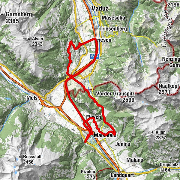
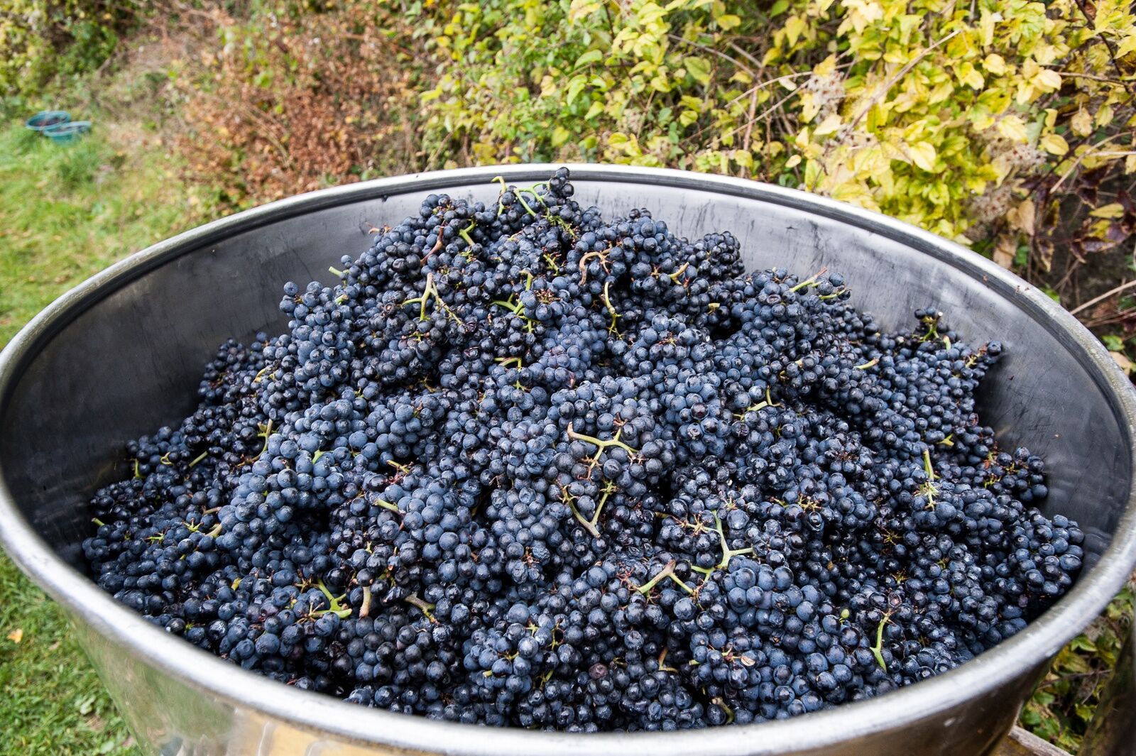
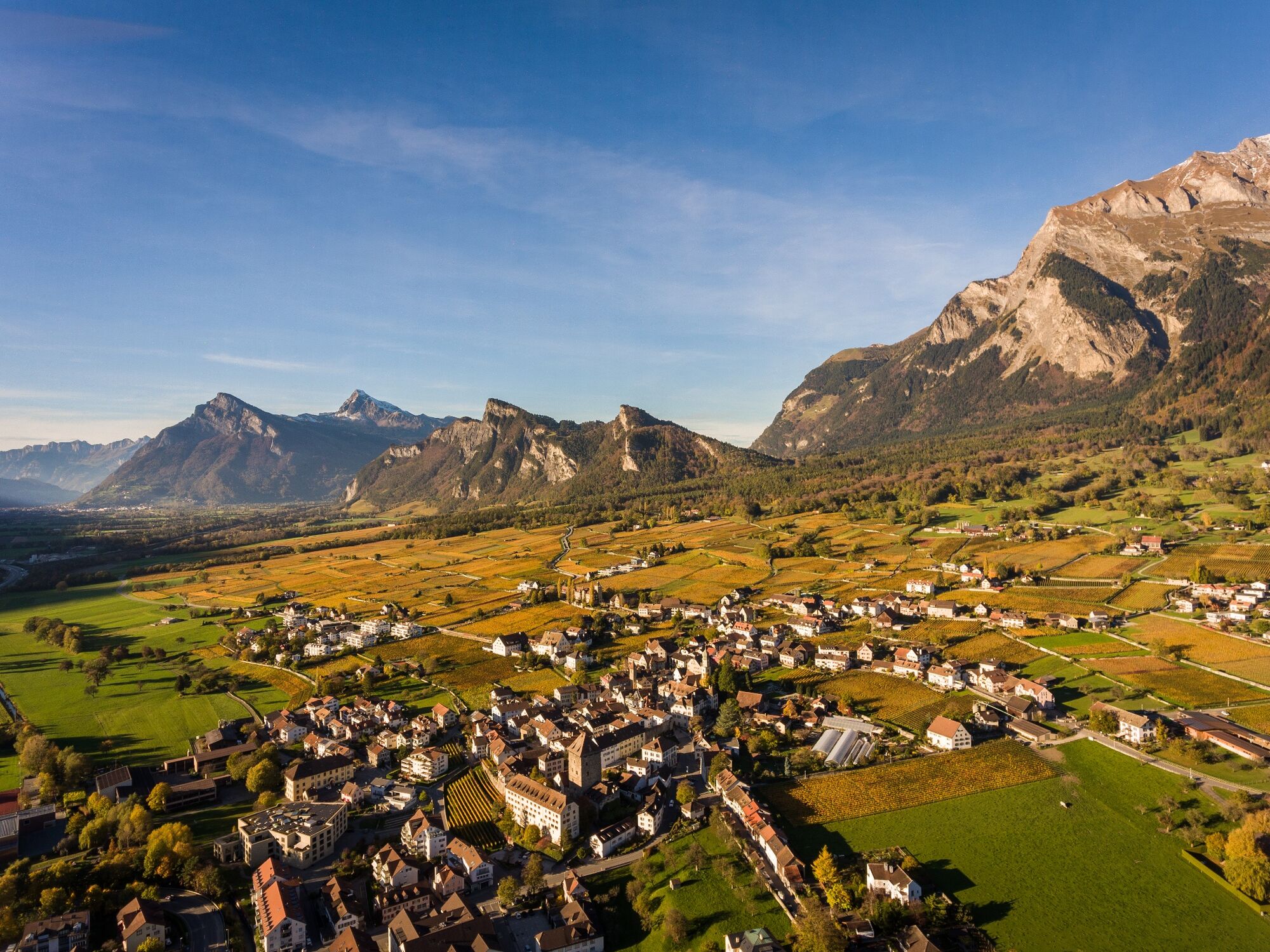
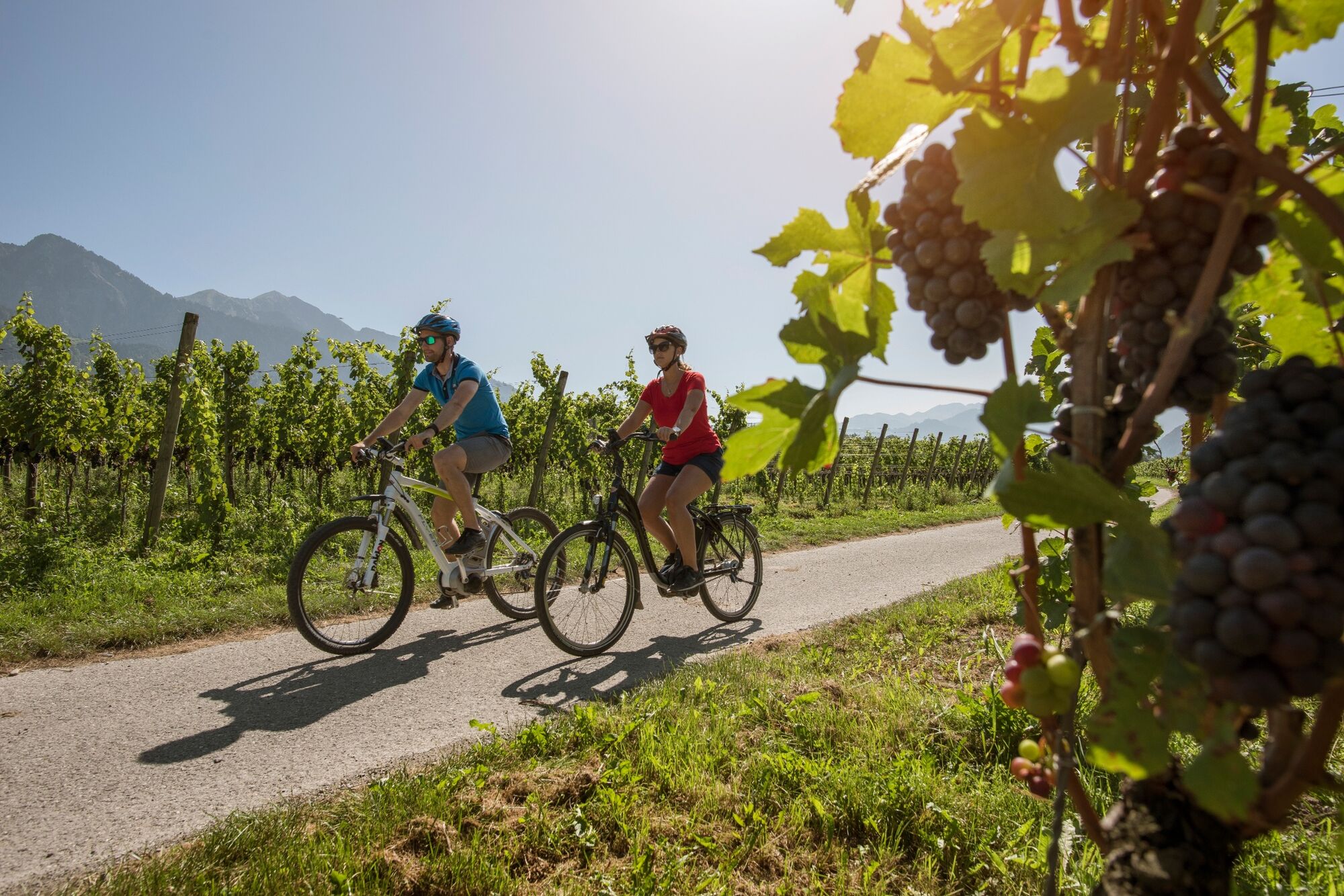
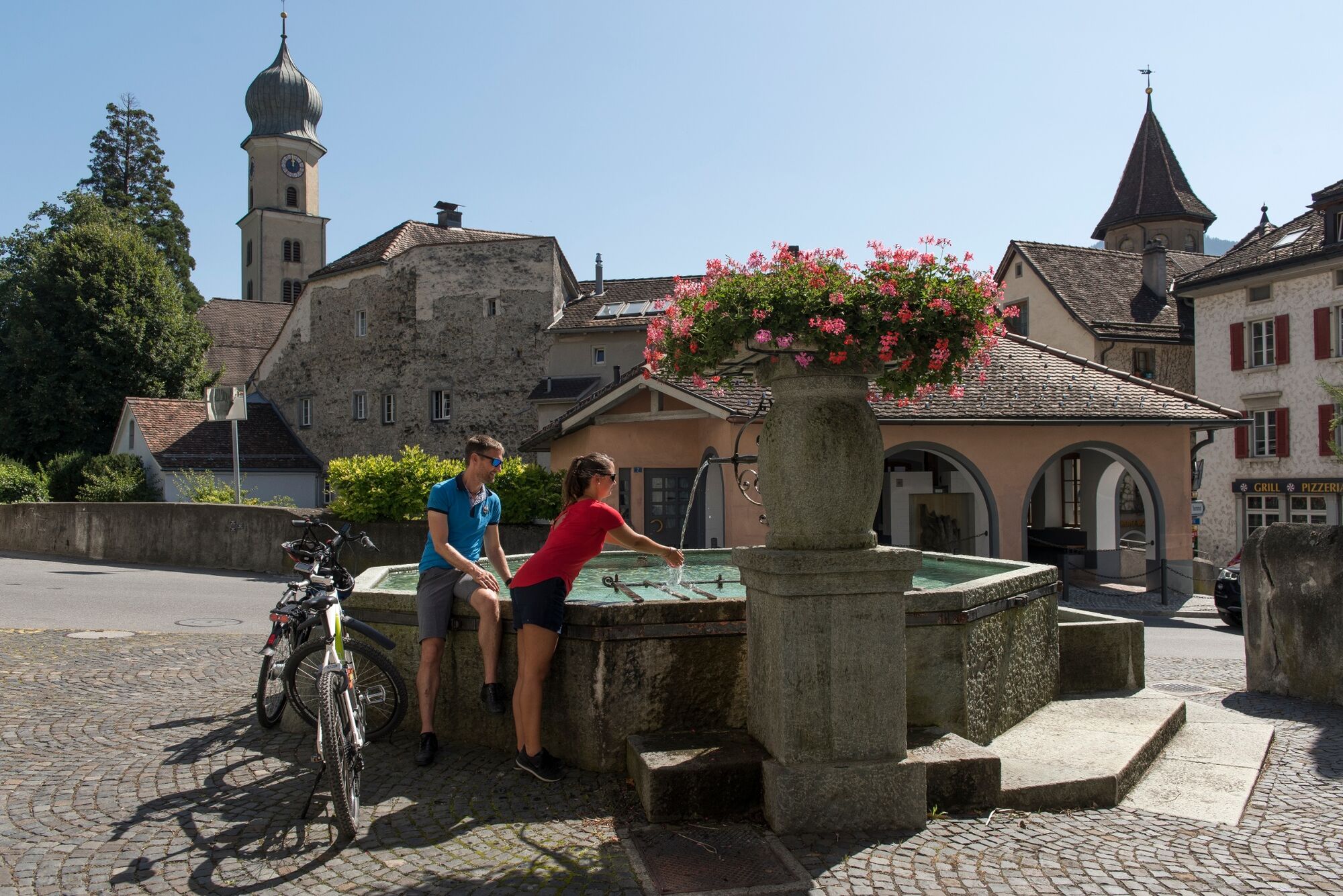
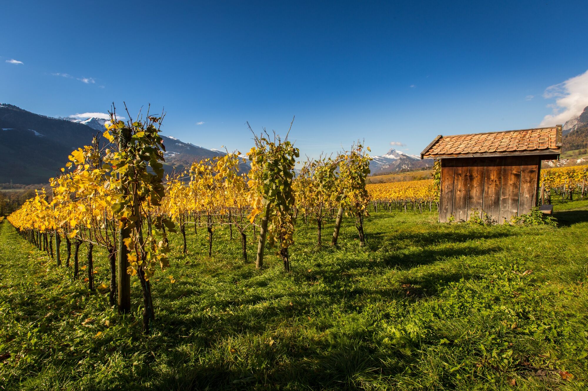
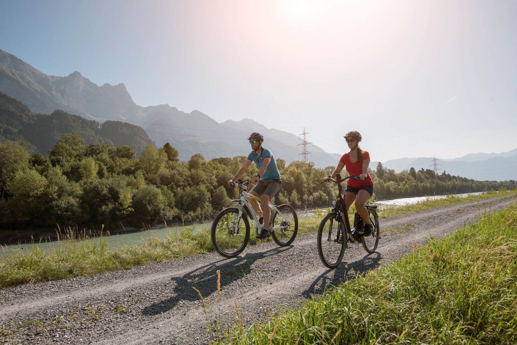
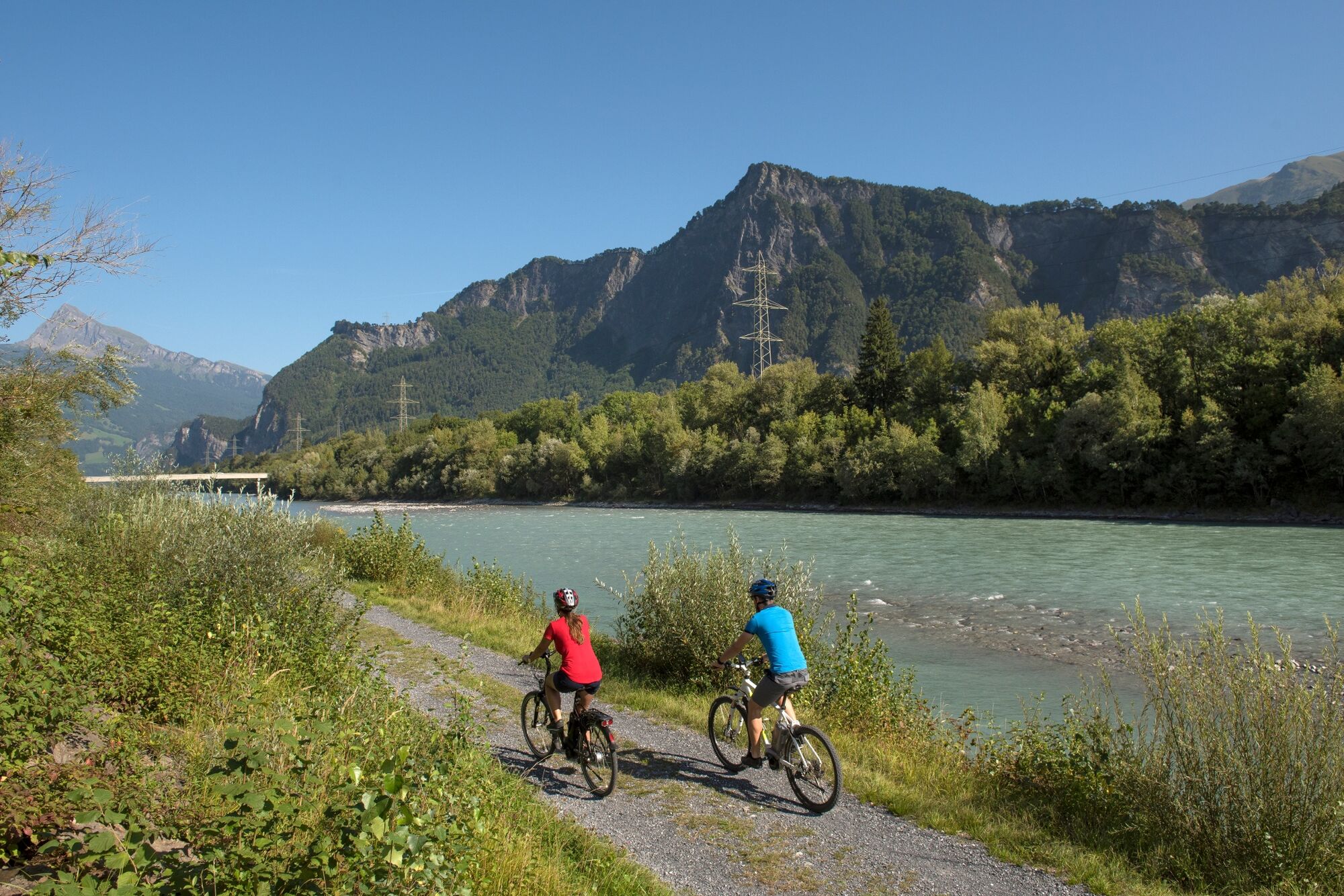
A tour for pleasure enthusiasts along the Rhine dam, through the picturesque landscape of the Wartau, over the Luzisteig and through the vineyards of the Bündner Herrschaft.
- Vanskelighet
-
middels
- Evaluering
-
- Rute
-
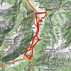
Bad Ragaz (516 m)0,1 kmKatholische Kirche St. Pankraz0,1 kmBad Ragaz (502 m)0,9 kmTrübbach9,2 kmKrone9,3 kmAzmoos10,8 kmHöfli11,0 kmMalans SG12,4 kmOberschan13,3 kmBüelsteihof13,8 kmGretschins15,7 kmTrübbach22,8 kmMäls26,5 kmKapelle St. Peter26,8 kmRestaurant Panorama30,5 kmKaserne Sankt Luzisteig30,6 kmSankt Luzisteig31,5 kmSankt Luzisteig (713m)31,5 kmSteigkirche31,5 kmGasthof St. Luzisteig31,5 kmEichenhaft32,8 kmBovel33,4 kmHeididorf33,9 kmRofels34,4 kmMaienfeld (504 m)35,7 kmFläsch (528 m)38,3 kmMühle40,0 kmKatholische Kirche St. Pankraz42,7 kmBad Ragaz (516 m)42,8 km
- Beste sesong
-
jan.feb.marsaprilmaijunijuliaug.sep.okt.nov.des.
- Høyeste punkt
- 714 m
- Reisemål
-
Bad Ragaz
- Høydeprofil
-
 © outdooractive.com


-

-
ForfatterTurneen Heidiland wine and cultural route brukes av outdooractive.com forutsatt.
GPS Downloads


Generell info
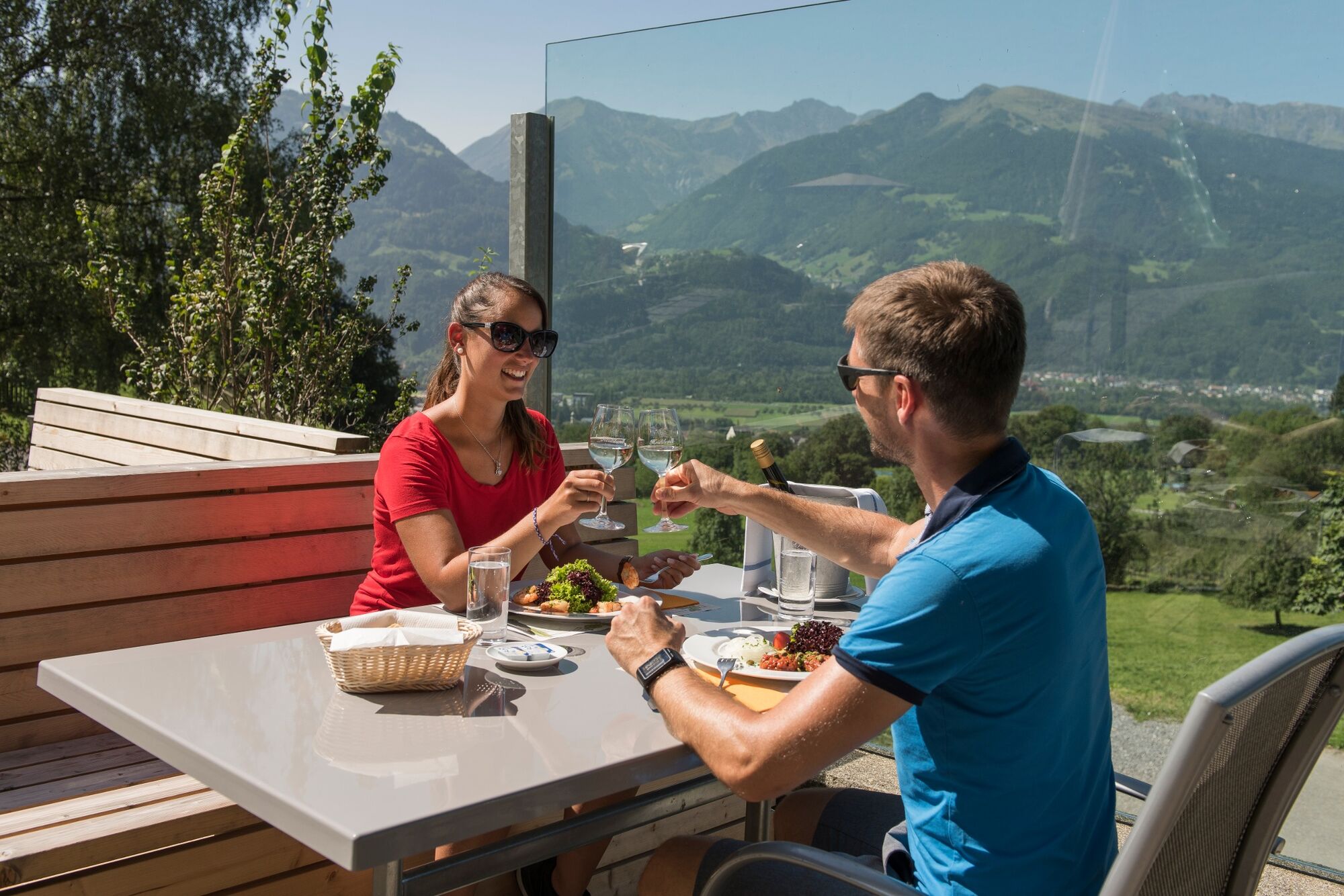
Forfriskningsstopp
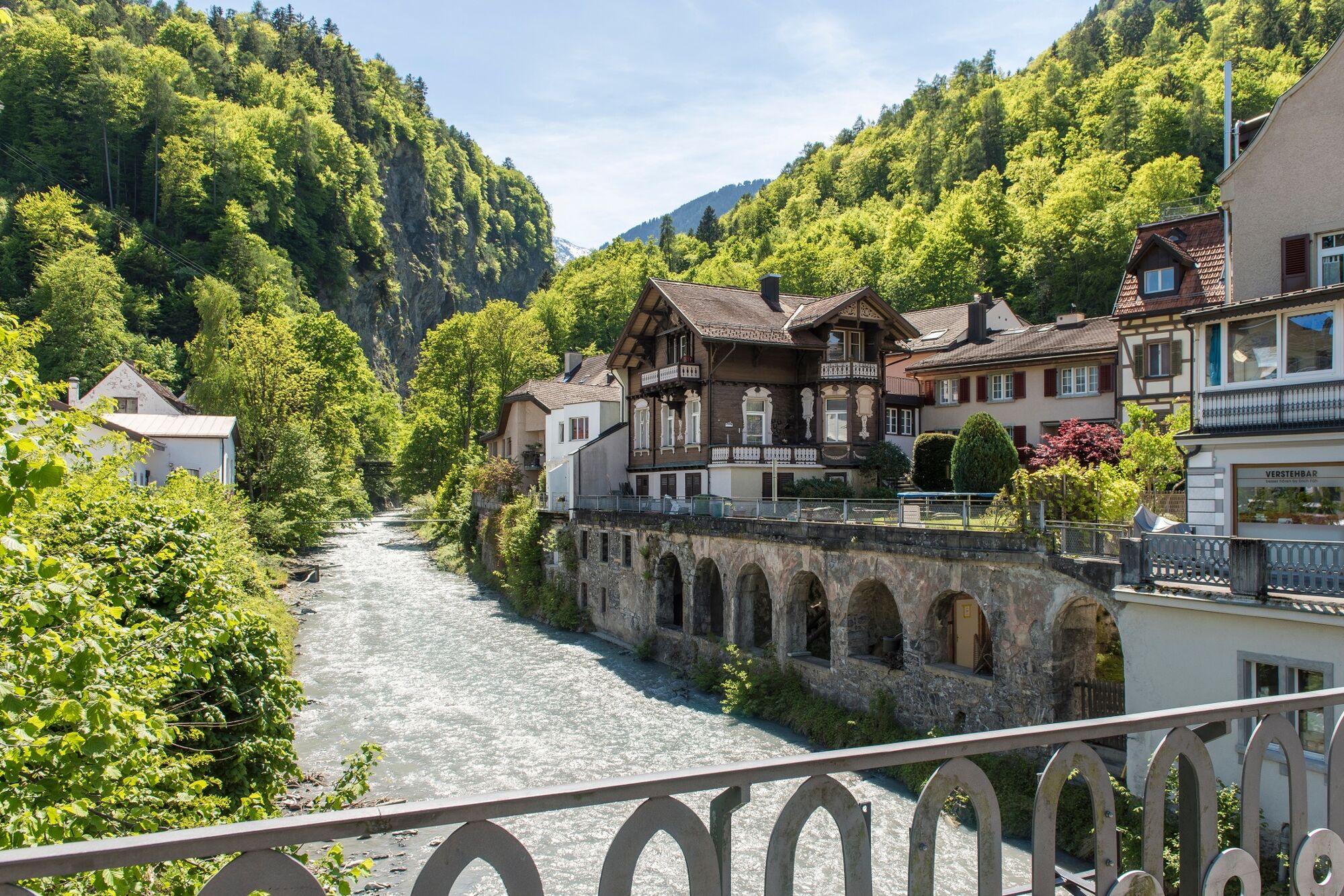
Kulturell/Historisk
Flere turer i regionene
-
Heidiland
154
-
Bad Ragaz, Pizol und Umgebung
83
-
Balzers
29