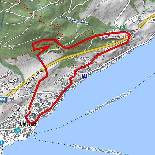
Turdatoer
3,02km
471
- 600m
101hm
01:30h
- Evaluering
-
- Utgangspunkt
-
Kirchenplatz - Klostergasse
- Rute
-
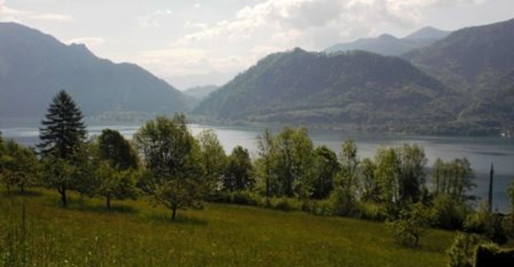
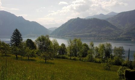
Ellend2,2 kmUnterach am Attersee2,9 kmPfarrkirche Unterach2,9 km
- Høyeste punkt
- 600 m
- Hvile/Retrett
-
Gastronomie im Dorfzentrum
- Kartmateriell
-
Infobüro Unterach
GPS Downloads


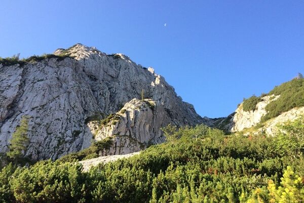
Løypeforhold
Asfalt
Grus
Gressunderlag
Skog
Stein
Utsatt
Flere turer i regionene