© Marktgemeinde Natternbach - IKUNA

- Kort beskrivelse
-
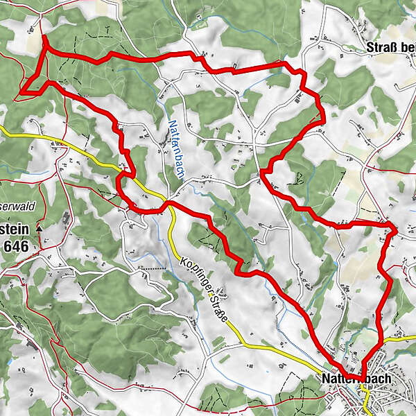
From Natternbach to the Virgin`s Rock natural landmark and Natternbach - source, then via several villages back to the starting point
- Vanskelighet
-
middels
- Evaluering
-
- Rute
-
Natternbach (434 m)Püret2,6 kmKreuz3,3 kmPfeneberg3,7 kmZiernau4,2 kmUntereck4,3 kmEck5,2 kmHochfilz5,9 kmHochholding7,3 kmWirt in Tal9,5 kmTal9,8 kmOberhörzing11,3 kmMoos11,8 kmKapping13,1 kmReiting14,2 kmWeibing14,8 kmNatternbach (434 m)17,1 km
- Beste sesong
-
jan.feb.marsaprilmaijunijuliaug.sep.okt.nov.des.
- Høyeste punkt
- 628 m
- Reisemål
-
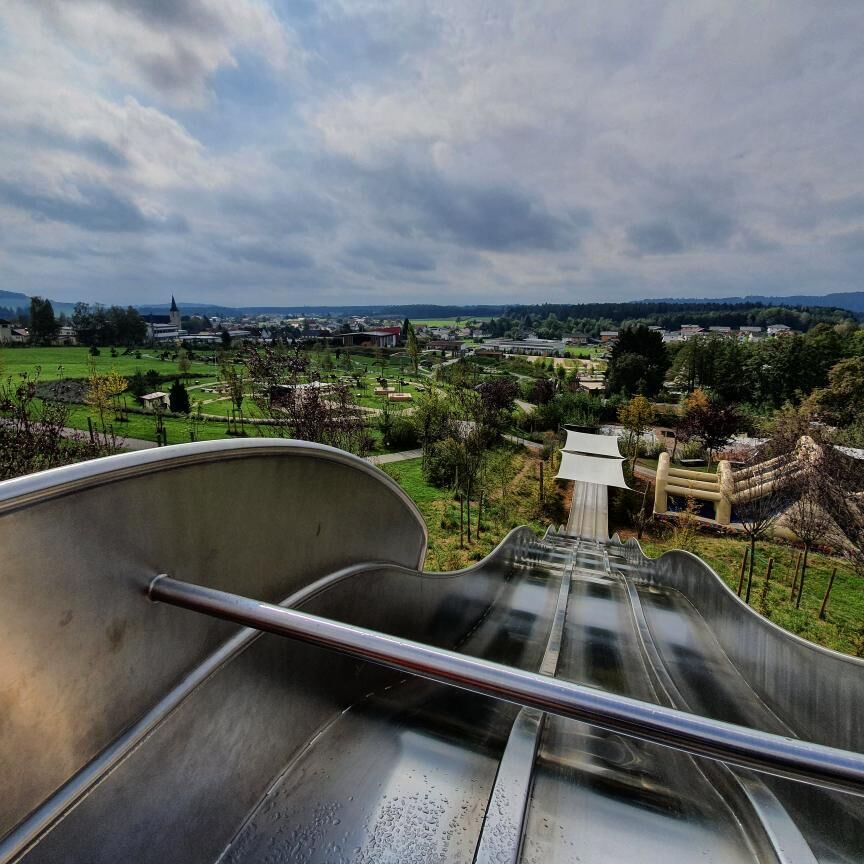
At the info point in the Natternbach sports and leisure center
- Høydeprofil
-

- Forfatter
-
Turneen Indian path brukes av outdooractive.com forutsatt.
GPS Downloads


Generell info
Forfriskningsstopp
Kulturell/Historisk
Lovende
Flere turer i regionene
-
Hausruckviertel
1483
-
Vitalwelt Bad Schallerbach
368
-
Natternbach
127