On the tracks of the Waldbahn from Reichraming, bicycle tour

Mountainbike

© Nationalpark Kalkalpen - <a href="http://www.kalkalpen.at">Nationalpark Kalkalpen</a>

© Nationalpark Kalkalpen - <a href="http://www.kalkalpen.at">Nationalpark Kalkalpen</a>
© Nationalpark Kalkalpen - <a href="http://www.kalkalpen.at">Nationalpark Kalkalpen</a>
© Nationalpark Kalkalpen - <a href="http://www.kalkalpen.at">Nationalpark Kalkalpen</a>

© Nationalpark Kalkalpen - <a href="http://www.kalkalpen.at">Nationalpark Kalkalpen</a>
© Nationalpark Kalkalpen - <a href="http://www.kalkalpen.at">Nationalpark Kalkalpen</a>

© Nationalpark Kalkalpen - <a href="http://www.kalkalpen.at">Nationalpark Kalkalpen</a>

- Kort beskrivelse
-
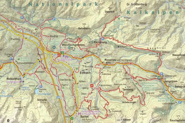
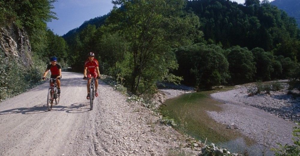
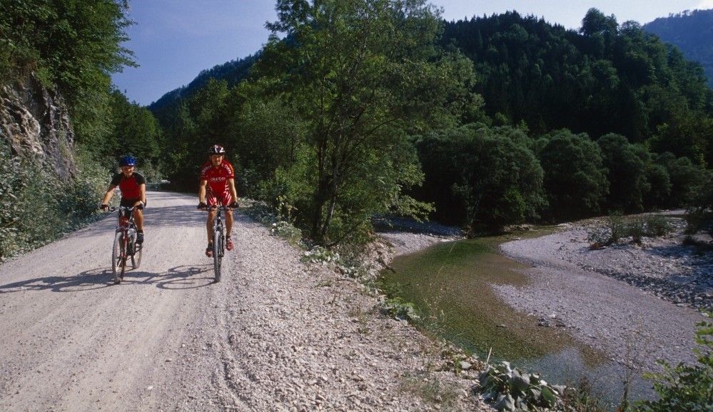
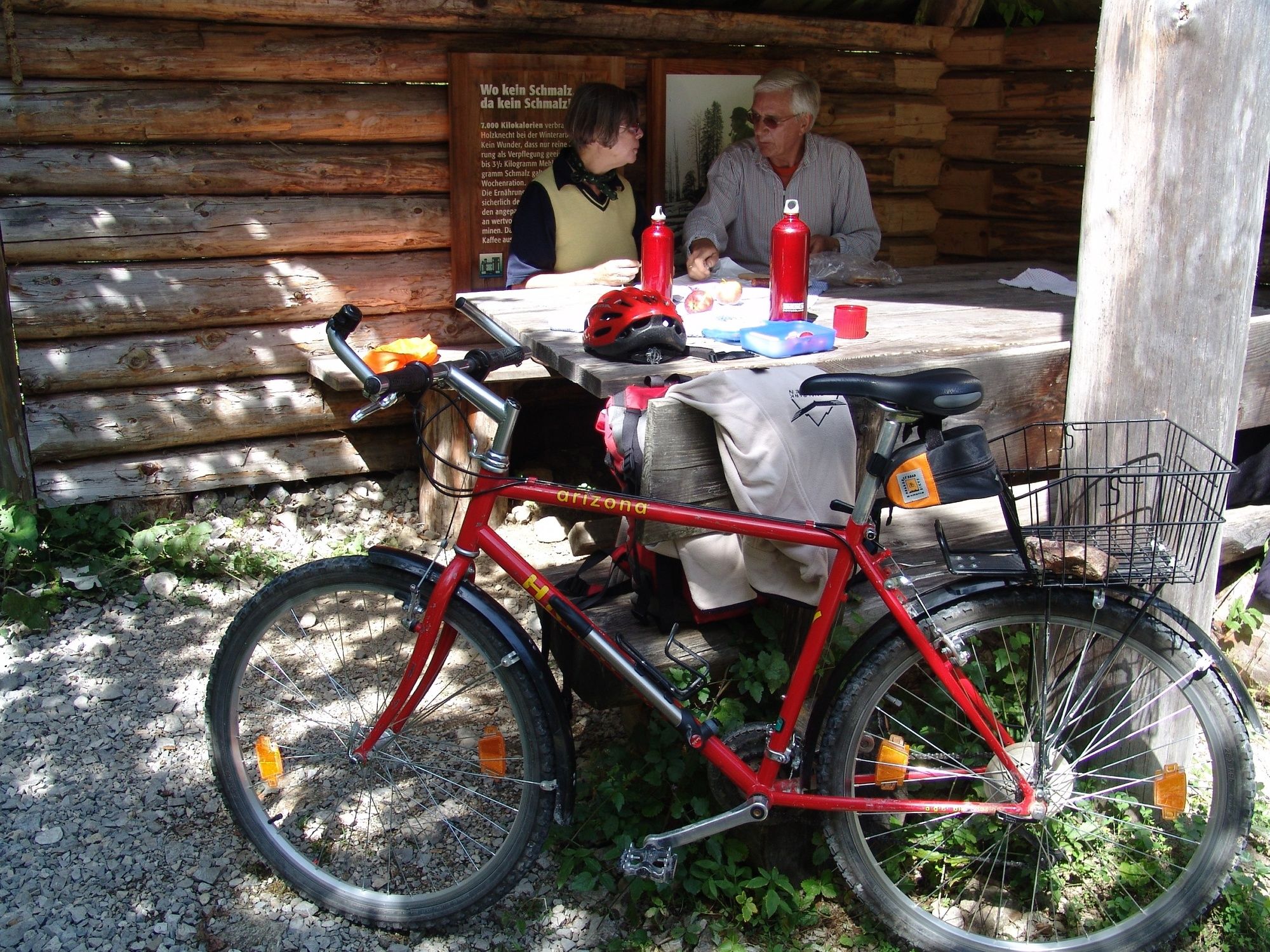
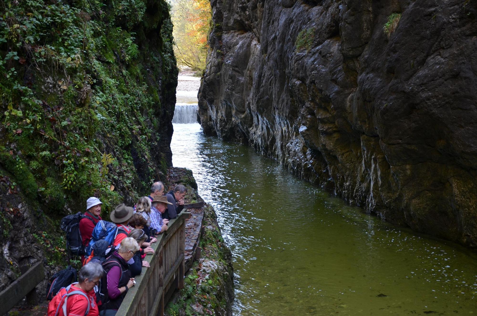
Bicycle tour along the Hintergebirgsradweg with slight ascents to Weißwasser and a short, steeper ascent to the Hirschkogelsattel, followd by a rapid descent to Brunnbach.
- Vanskelighet
-
middels
- Evaluering
-
- Rute
-
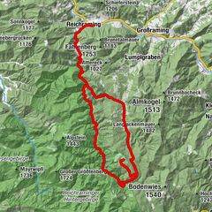
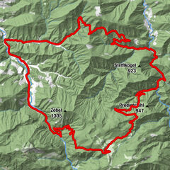
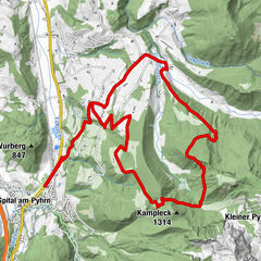
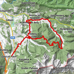
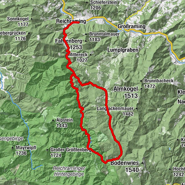
ReichramingReichraming0,7 kmGroße Klause14,4 kmSchleierfall19,5 kmWeißwasser23,8 kmHirschkogelsattel (882 m)26,5 kmBrunnbachstadl32,0 kmBrunnbach (522 m)32,3 kmReichraming44,8 kmReichraming45,4 km
- Beste sesong
-
jan.feb.marsaprilmaijunijuliaug.sep.okt.nov.des.
- Høyeste punkt
- 877 m
- Reisemål
-
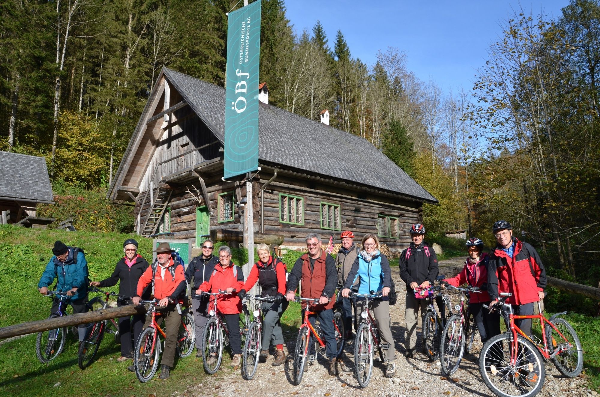
Klaushütte, Parking Anzenbach or train station Reichraming
- Høydeprofil
-


- Forfatter
-
Turneen On the tracks of the Waldbahn from Reichraming, bicycle tour brukes av outdooractive.com forutsatt.
GPS Downloads


Generell info
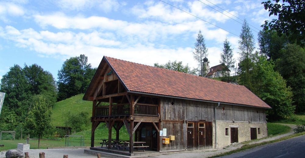
Forfriskningsstopp
Kulturell/Historisk
Flere turer i regionene