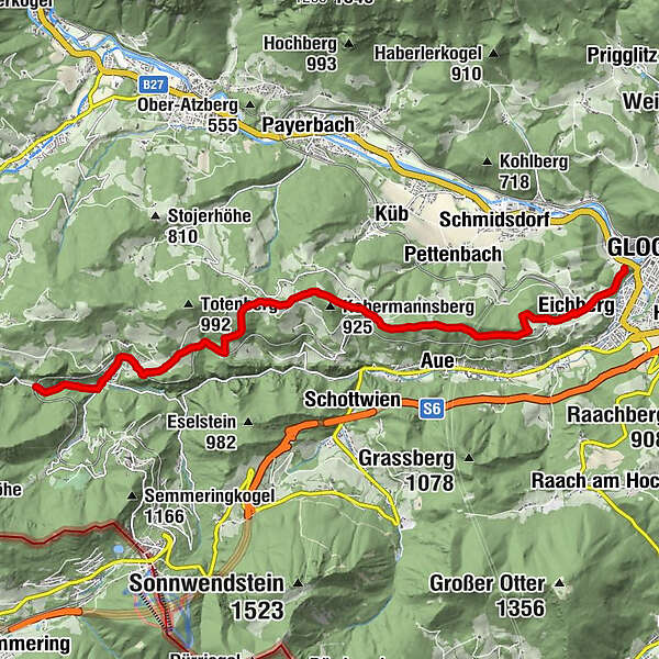
WAB - Regional Route L: Kalte Rinne in Breitenstein - Gloggnitz Castle


© © Wiener Alpen in NÖ Tourismus GmbH, Foto: Franz Zwickl - Wiener Alpen in Niederösterreich Tourismus GmbH

© ©Erich Kodym - Wiener Alpen in Niederösterreich Tourismus GmbH

© Wiener Alpen in Niederösterreich - Sophie Weinberger

© Wiener Alpen in Niederösterreich - Sophie Weinberger

© Wiener Alpen in Niederösterreich - Sophie Weinberger

© Wiener Alpen in Niederösterreich - Sophie Weinberger
- Kort beskrivelse
-
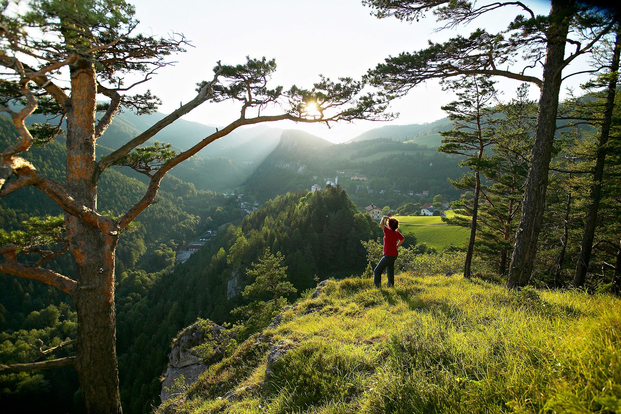
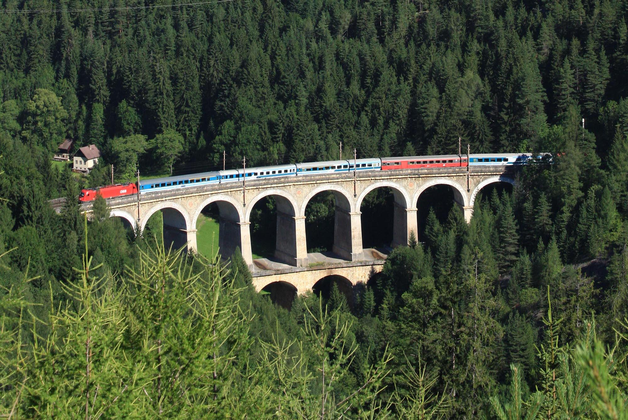
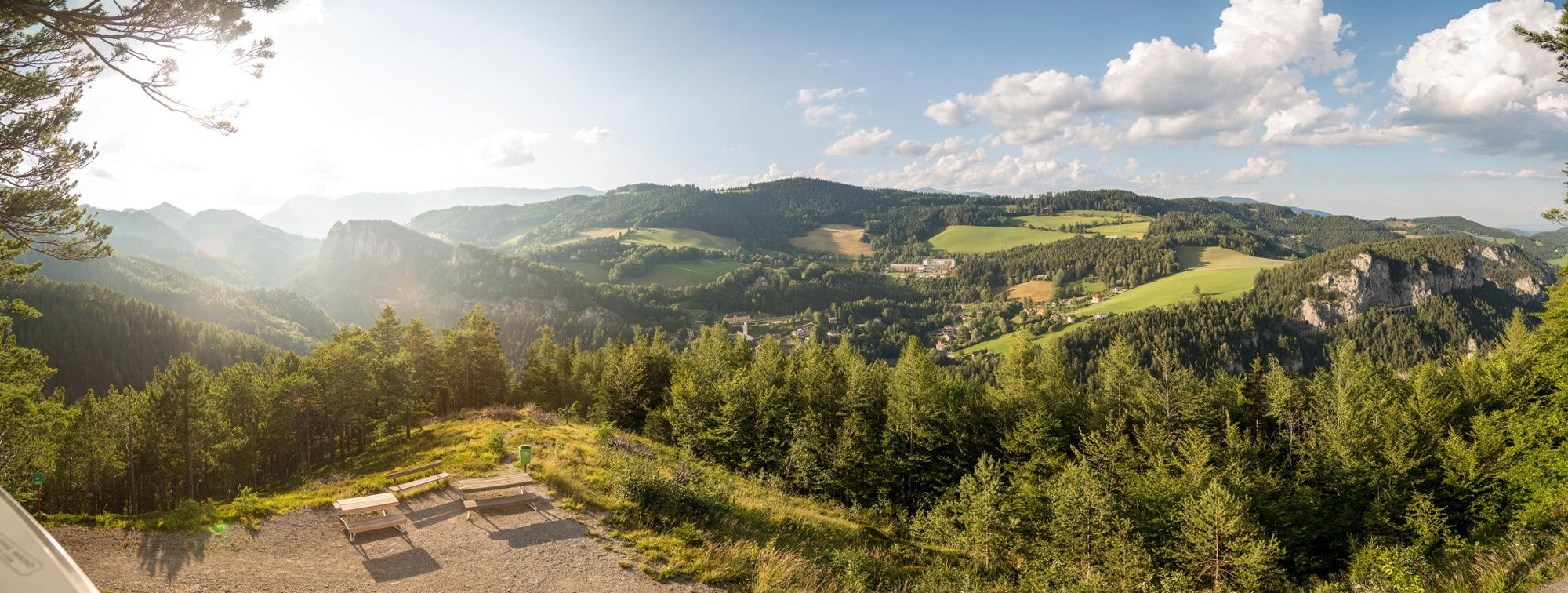
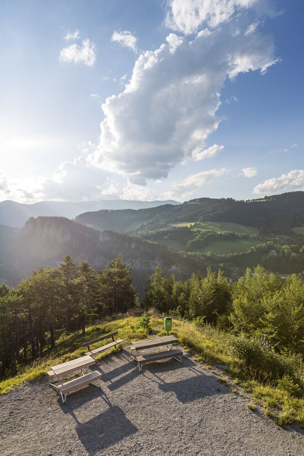
Regional Route L starts at the Kalte Rinne viaduct and continues to Gloggnitz Castle. The Regional Routes are part of the network of paths making up the Viennese Alps (WAB) route. Hikes along these routes lead you to unique views and also insights. The Regional Routes are linked to the network of paths making up the Viennese Alps route. This results in circular hikes in conjunction with the long-distance path.
- Vanskelighet
-
middels
- Evaluering
-
- Rute
-
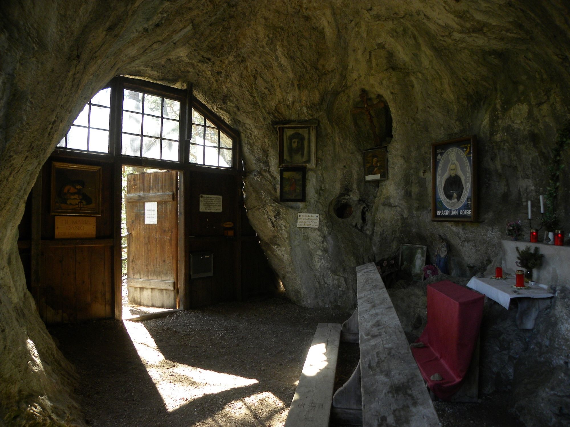
Adlitzgraben (Breitenstein)0,9 kmZum Blunzenwirt0,9 kmBreitenstein1,4 kmFilialkirche Breitenstein1,4 kmGasthaus Polleres Kreuzberg4,9 kmRichtung Klamm / Sonnwendstein5,8 kmKlammerkapelle7,0 kmSchneebergblick7,2 kmSonnwendsteinblick7,9 kmEichberg10,8 kmEhrenböck-Kapelle10,9 kmGloggnitz11,9 km
- Beste sesong
-
jan.feb.marsaprilmaijunijuliaug.sep.okt.nov.des.
- Høyeste punkt
- 911 m
- Reisemål
-
Gloggnitz Castle
- Høydeprofil
-


- Forfatter
-
Turneen WAB - Regional Route L: Kalte Rinne in Breitenstein - Gloggnitz Castle brukes av outdooractive.com forutsatt.
GPS Downloads


Generell info
Kulturell/Historisk
Lovende
Flere turer i regionene
-
Hochsteiermark
4082
-
Semmering - Rax
2314
-
Schottwien - Maria Schutz
806


