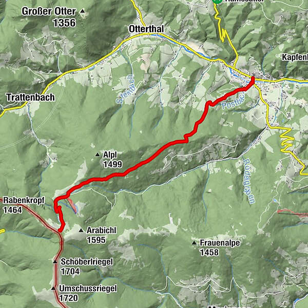
WAB - Regional Route H: Kranichberger Schwaig - Kirchberg/Wechsel

© ©Wiener Alpen, Foto: Christian Kremsl - Wiener Alpen in Niederösterreich

© ©Kranichberger Schwaig, Foto Friederike Thaler - Wiener Alpen in Niederösterreich Tourismus GmbH
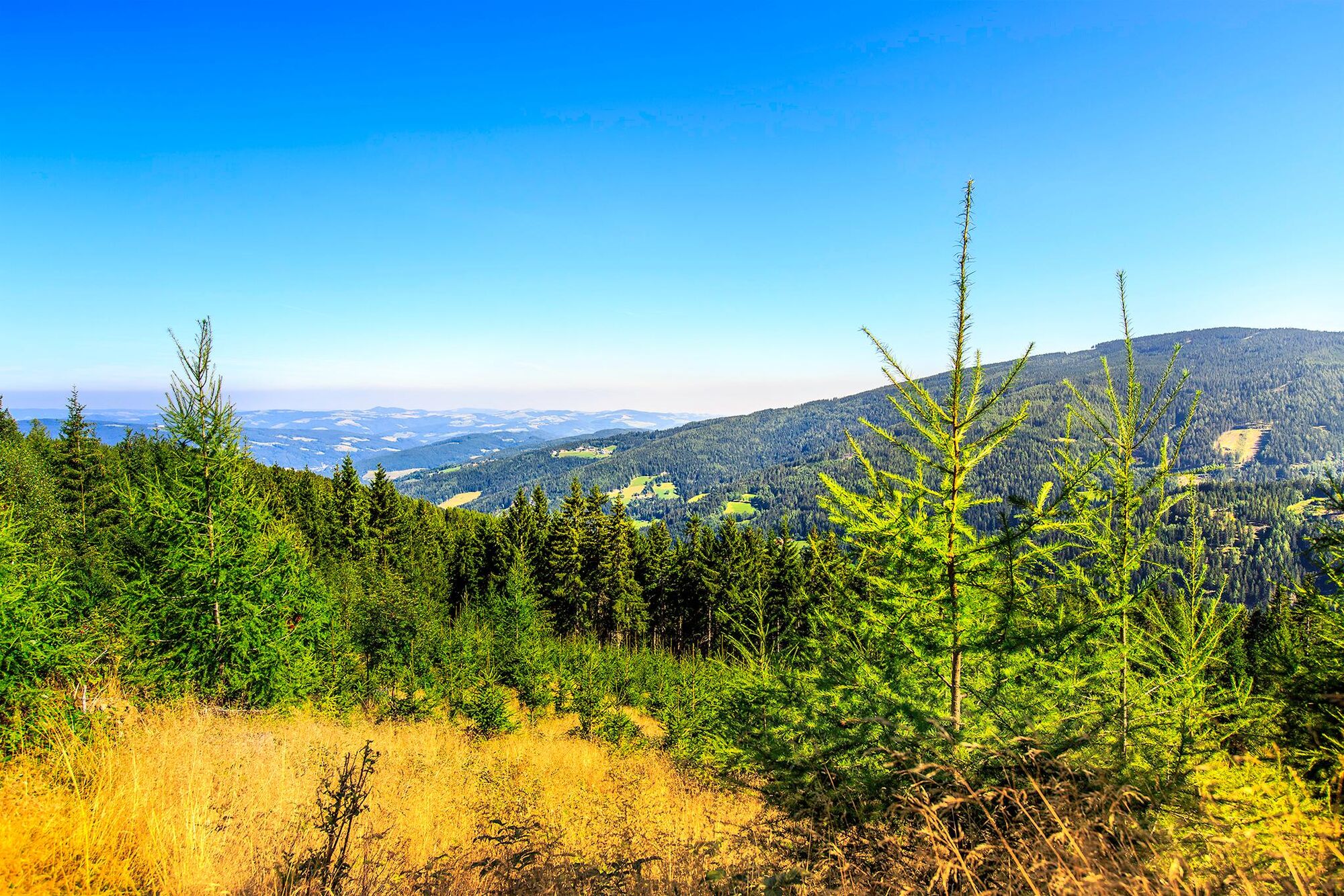
© Wiener Alpen in Niederösterreich - Sophie Weinberger
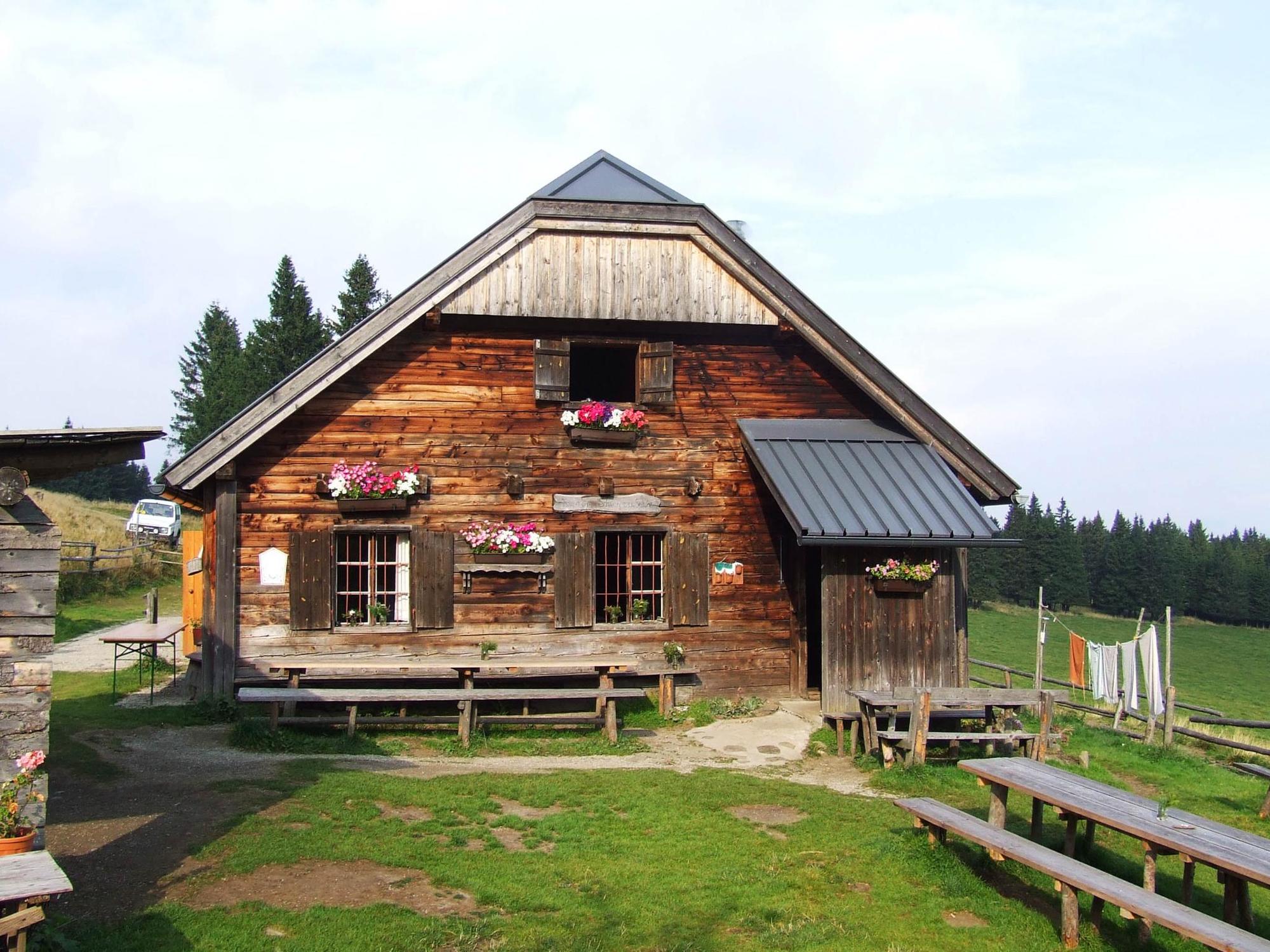
© Wiener Alpen in Niederösterreich - Sophie Weinberger
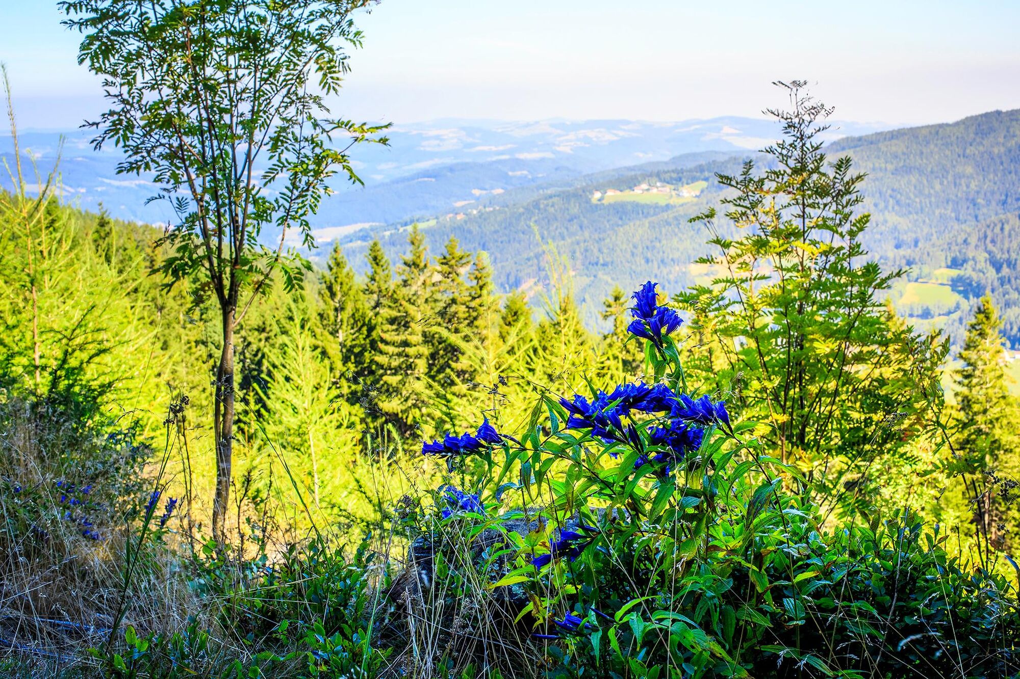
© Wiener Alpen in Niederösterreich - Sophie Weinberger
© Wiener Alpen in Niederösterreich - Sophie Weinberger
- Kort beskrivelse
-
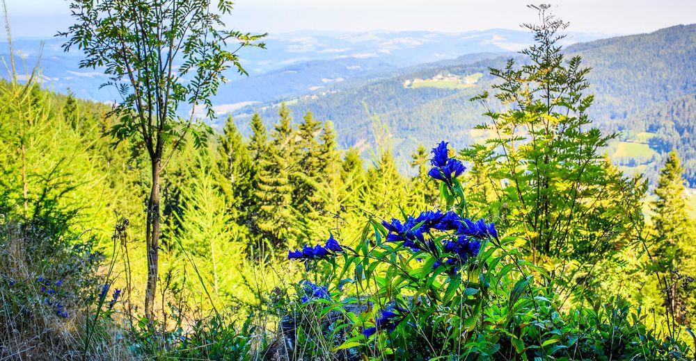
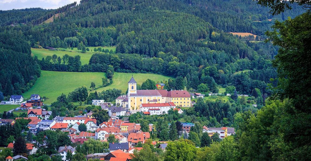
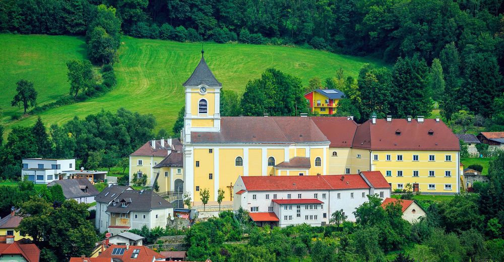
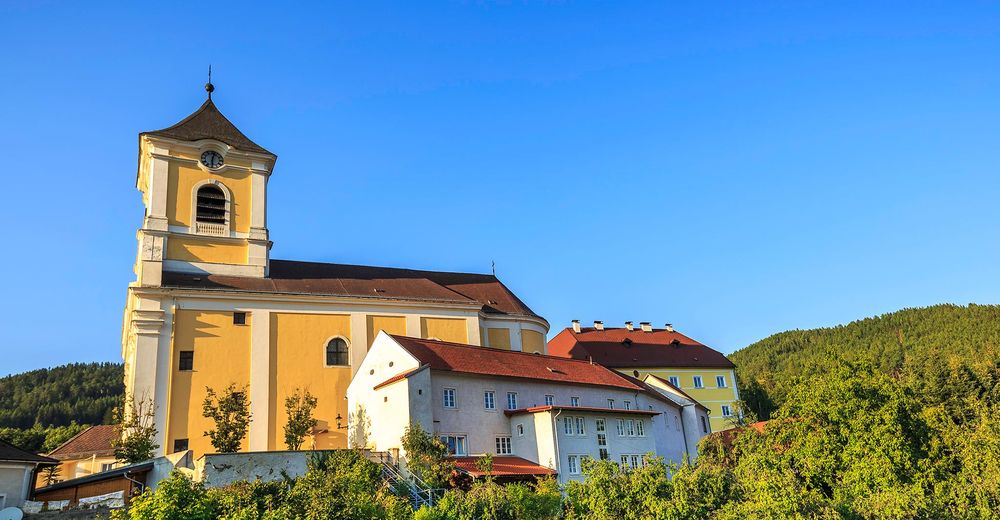
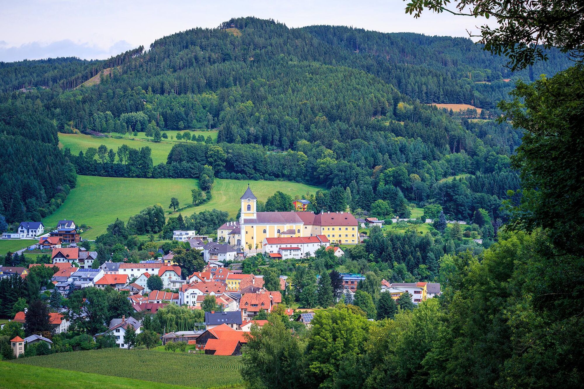
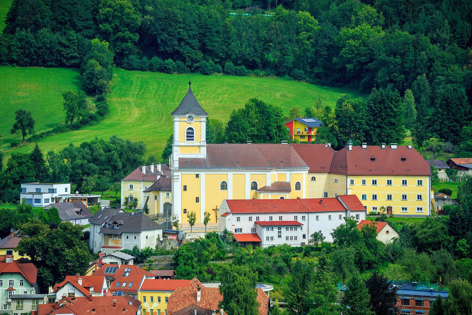
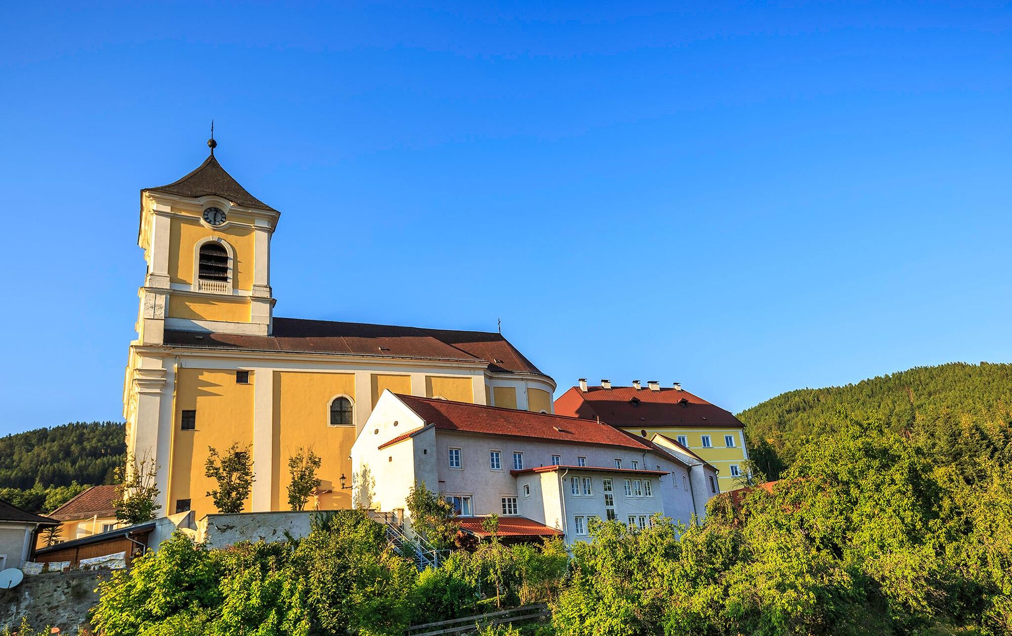
Regional Route H heads over the Schwaigen on the Wechsel to Kirchberg. The Regional Routes are part of the network of paths making up the Viennese Alps (WAB) route. Hikes along these routes lead you to unique views and also insights. The Regional Routes are linked to the network of paths making up the Viennese Alps route. This results in circular hikes in conjunction with the long-distance path.
- Vanskelighet
-
middels
- Evaluering
-
- Rute
-
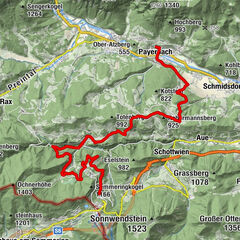
Kranichberger SchwaigKirchberg am Wechsel10,3 km
- Beste sesong
-
jan.feb.marsaprilmaijunijuliaug.sep.okt.nov.des.
- Høyeste punkt
- 1.534 m
- Reisemål
-
Kirchberg / Wechsel municipal office
- Høydeprofil
-

- Forfatter
-
Turneen WAB - Regional Route H: Kranichberger Schwaig - Kirchberg/Wechsel brukes av outdooractive.com forutsatt.
GPS Downloads


Generell info
Lovende
Flere turer i regionene
-
Wiener Alpen
3048
-
Semmering - Rax
2314
-
Otterthal
615


")