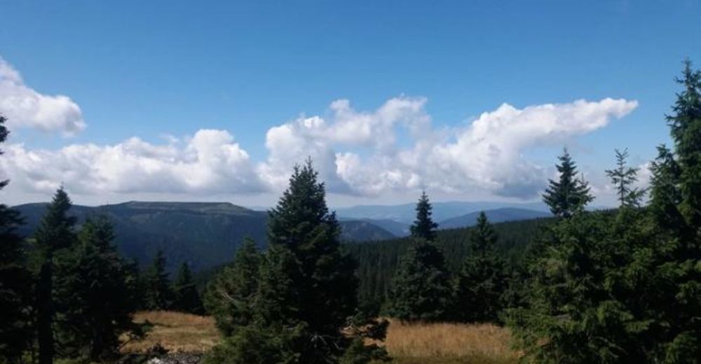
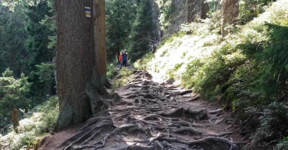
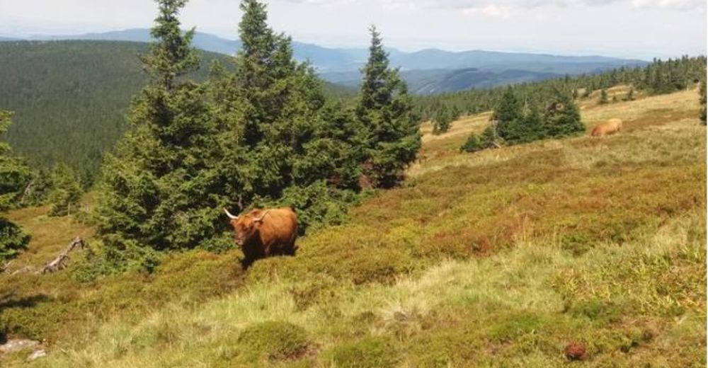
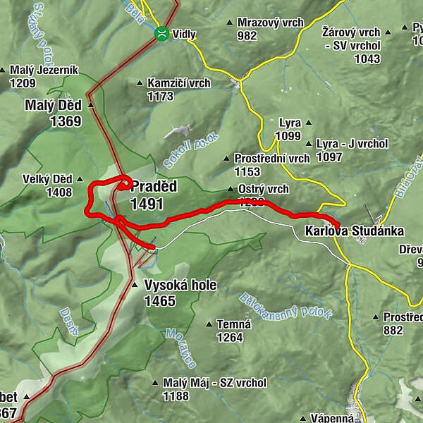
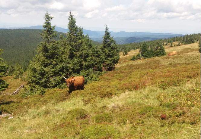
Hiking in the Jeseniky Mountains to reach the peak of Praděd

© https://www.petricazontea.com/blog/weekend-in-jeseniky-mountains - Petrica Zontea
© https://www.petricazontea.com/blog/weekend-in-jeseniky-mountains - Petrica Zontea
© https://www.petricazontea.com/blog/weekend-in-jeseniky-mountains - Petrica Zontea
© https://www.petricazontea.com/blog/weekend-in-jeseniky-mountains - Petrica Zontea

- Kort beskrivelse
-
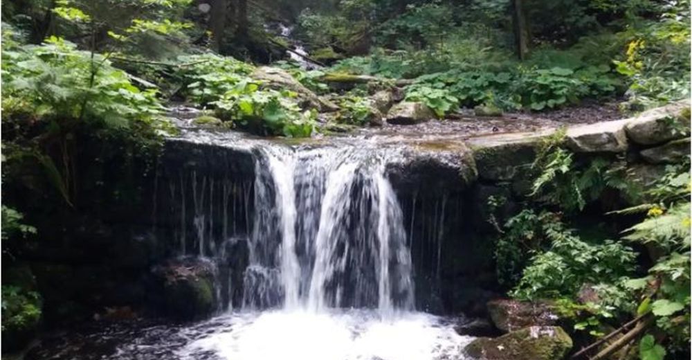
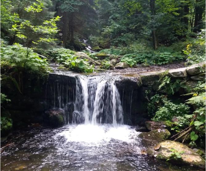
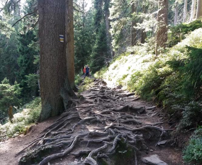
A moderate difficulty hike in the Jeseniky Mountains for the peak of Praděd and downhill along the Bila Opava river with beautiful waterfalls.
- Vanskelighet
-
middels
- Evaluering
-
- Rute
-
Ovčárna0,2 kmAltvater (1.491 m)3,9 kmPraděd4,0 kmVelký vodopád9,1 kmHubertov12,2 kmumělý vodopád12,4 kmKarlsbrunn12,5 km
- Beste sesong
-
jan.feb.marsaprilmaijunijuliaug.sep.okt.nov.des.
- Høyeste punkt
- 1.487 m
- Reisemål
-
Karlova Studanka, Hubert car parking (Hubert bus-stop)
- Høydeprofil
-
 © outdooractive.com
- Forfatter
-
Turneen Hiking in the Jeseniky Mountains to reach the peak of Praděd brukes av outdooractive.com forutsatt.
GPS Downloads


Generell info
Forfriskningsstopp
Helbredende klima
Kulturell/Historisk
Lovende
Flere turer i regionene