- Kort beskrivelse
-
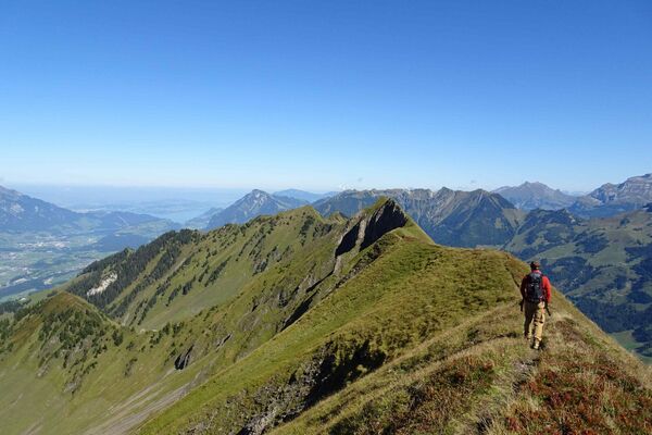
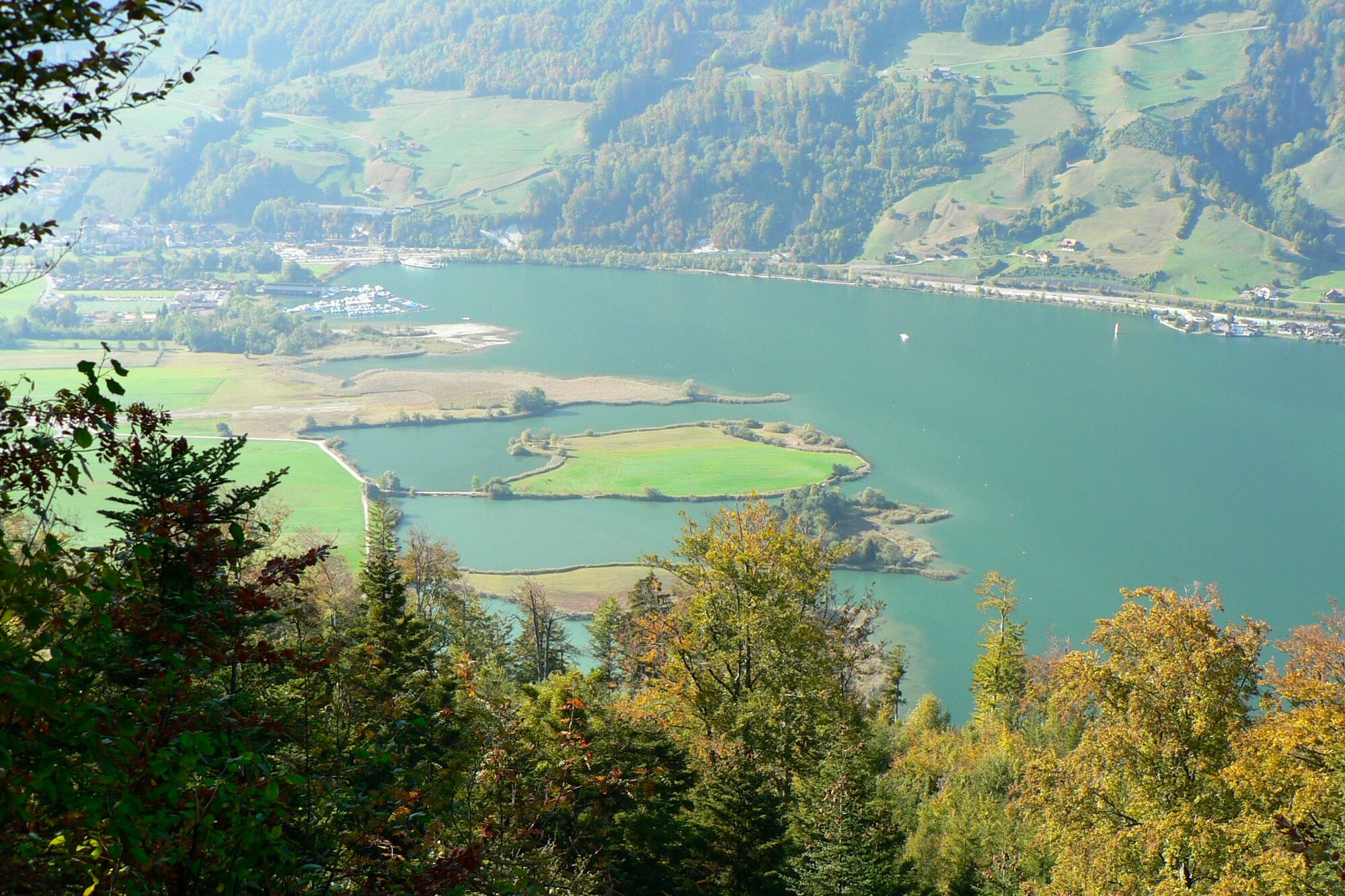
The circular hike leads along Lake Alpnach up to the sunny Mueterschwandenberg. The ascent is rewarded with picturesque views of Lake Alpnach and the Pilatus.
- Vanskelighet
-
middels
- Evaluering
-
- Rute
-
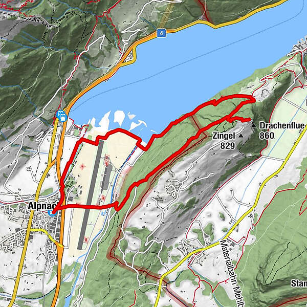
Alpnach Dorf (452 m)Alpnach (542 m)Drachenflue (860 m)6,5 kmAlpnach (542 m)10,8 kmAlpnach Dorf (452 m)10,9 km
- Beste sesong
-
jan.feb.marsaprilmaijunijuliaug.sep.okt.nov.des.
- Høyeste punkt
- 854 m
- Reisemål
-
Alpnach Dorf station
- Høydeprofil
-
 © outdooractive.com
-

-
ForfatterTurneen Zingel on the Mueterschwandenberg brukes av outdooractive.com forutsatt.
GPS Downloads


Generell info
Kulturell/Historisk
Flere turer i regionene
-
Nidwalden
1832
-
Klewenalp-Vierwaldstaettersee
965
-
Alpnach
219