© UNESCO Biosphäre Entlebuch - Beat Brechbühl

© UNESCO Biosphäre Entlebuch - Beat Brechbühl

© UNESCO Biosphäre Entlebuch - Beat Brechbühl

© UNESCO Biosphäre Entlebuch - Beat Brechbühl

© UNESCO Biosphäre Entlebuch - Beat Brechbühl

© UNESCO Biosphäre Entlebuch - Beat Brechbühl

© UNESCO Biosphäre Entlebuch - Beat Brechbühl

© UNESCO Biosphäre Entlebuch - Beat Brechbühl
- Kort beskrivelse
-
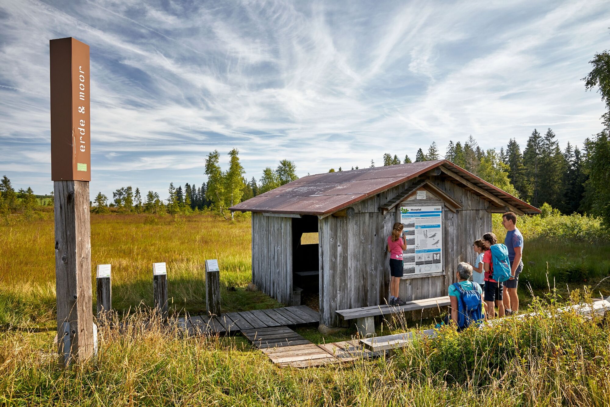
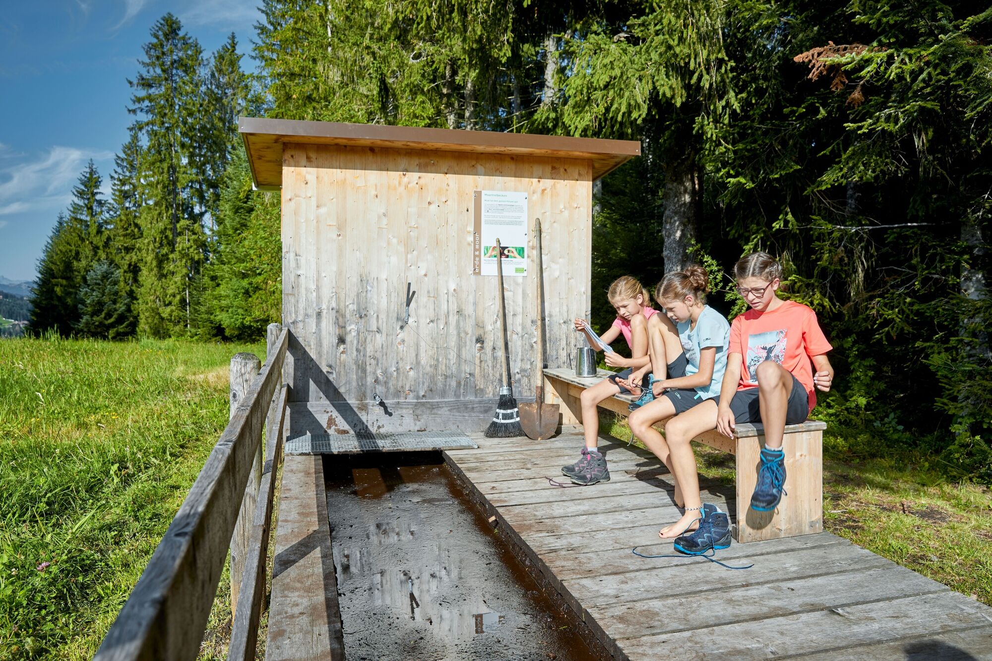
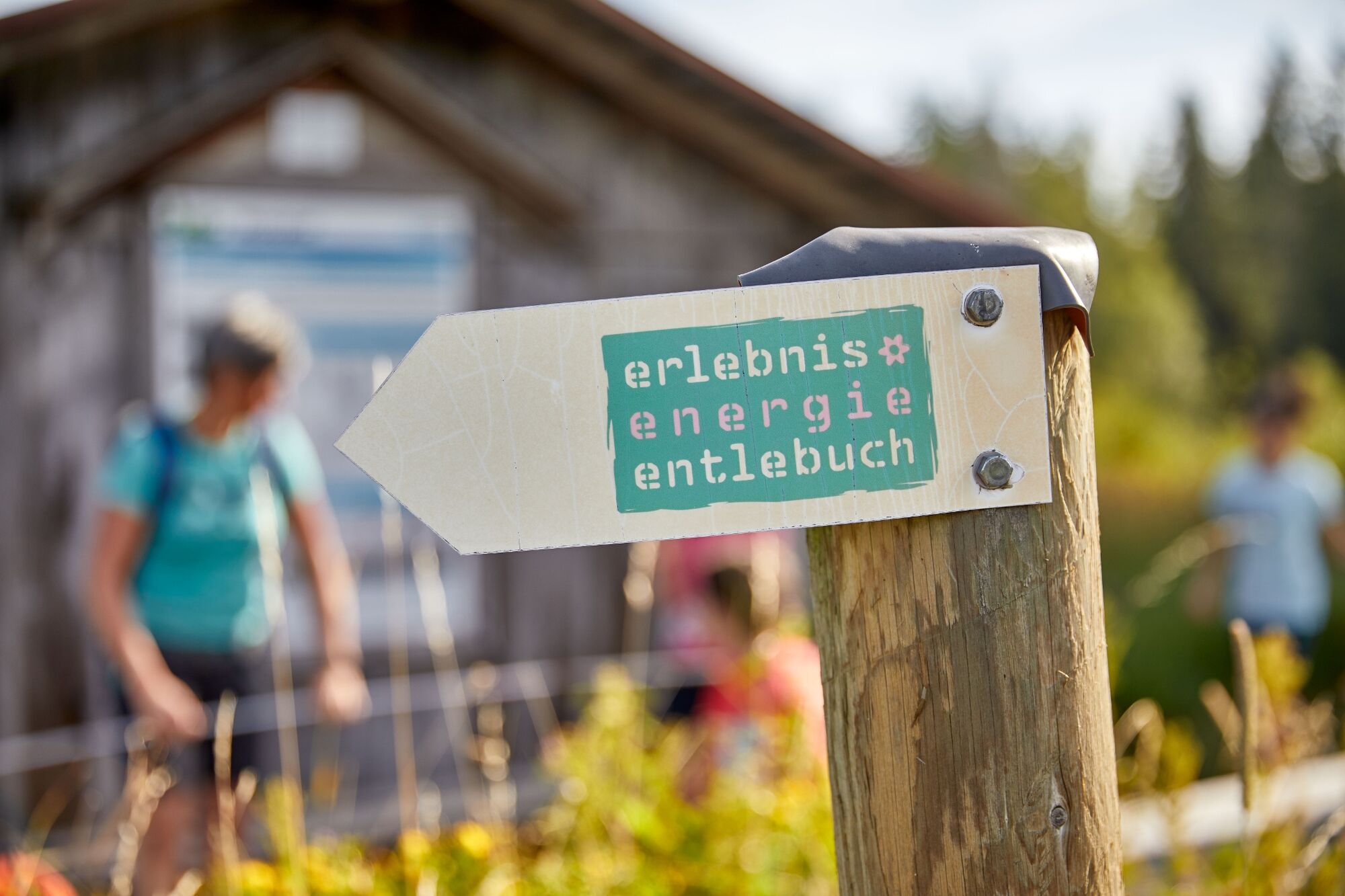
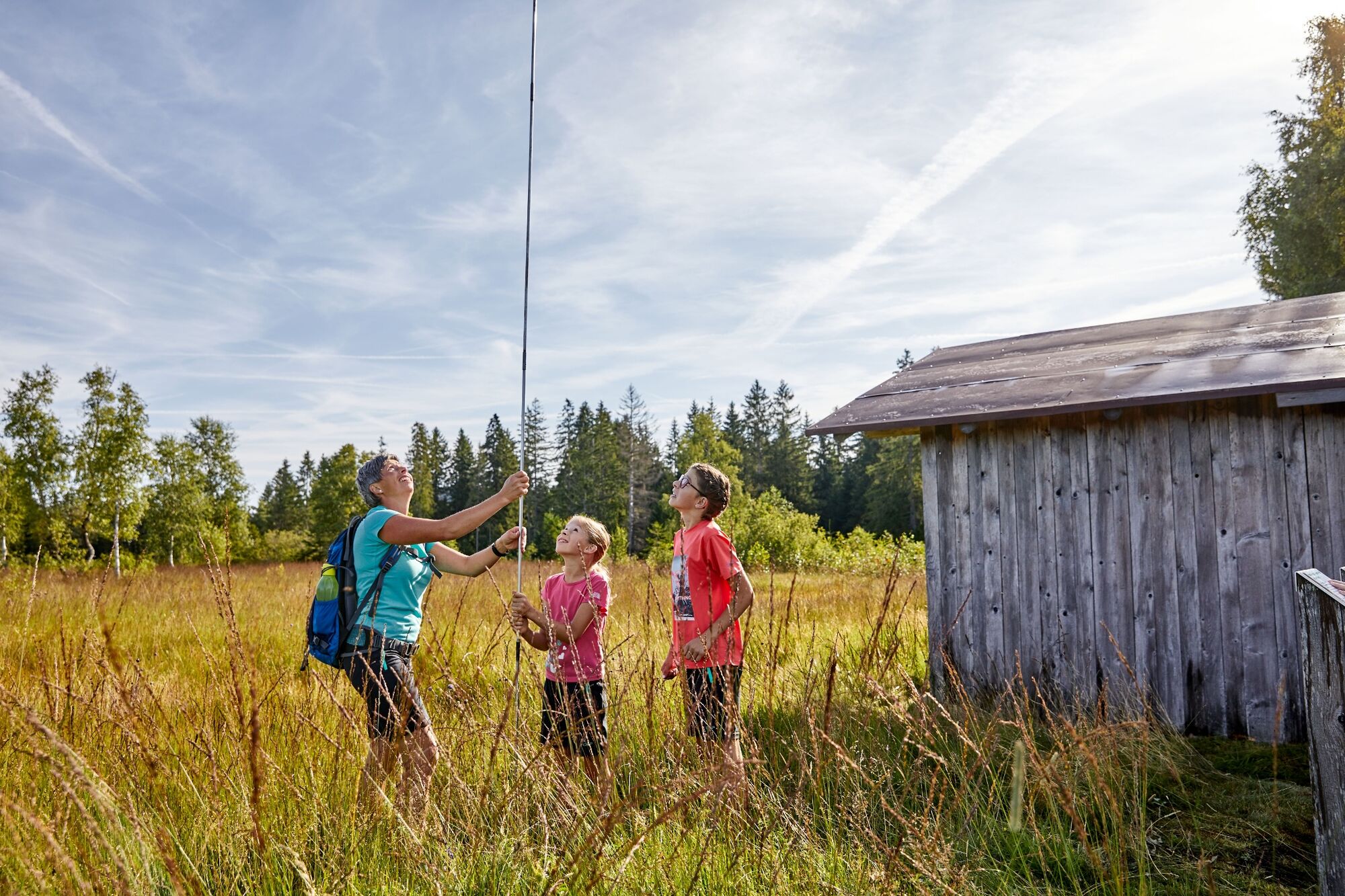
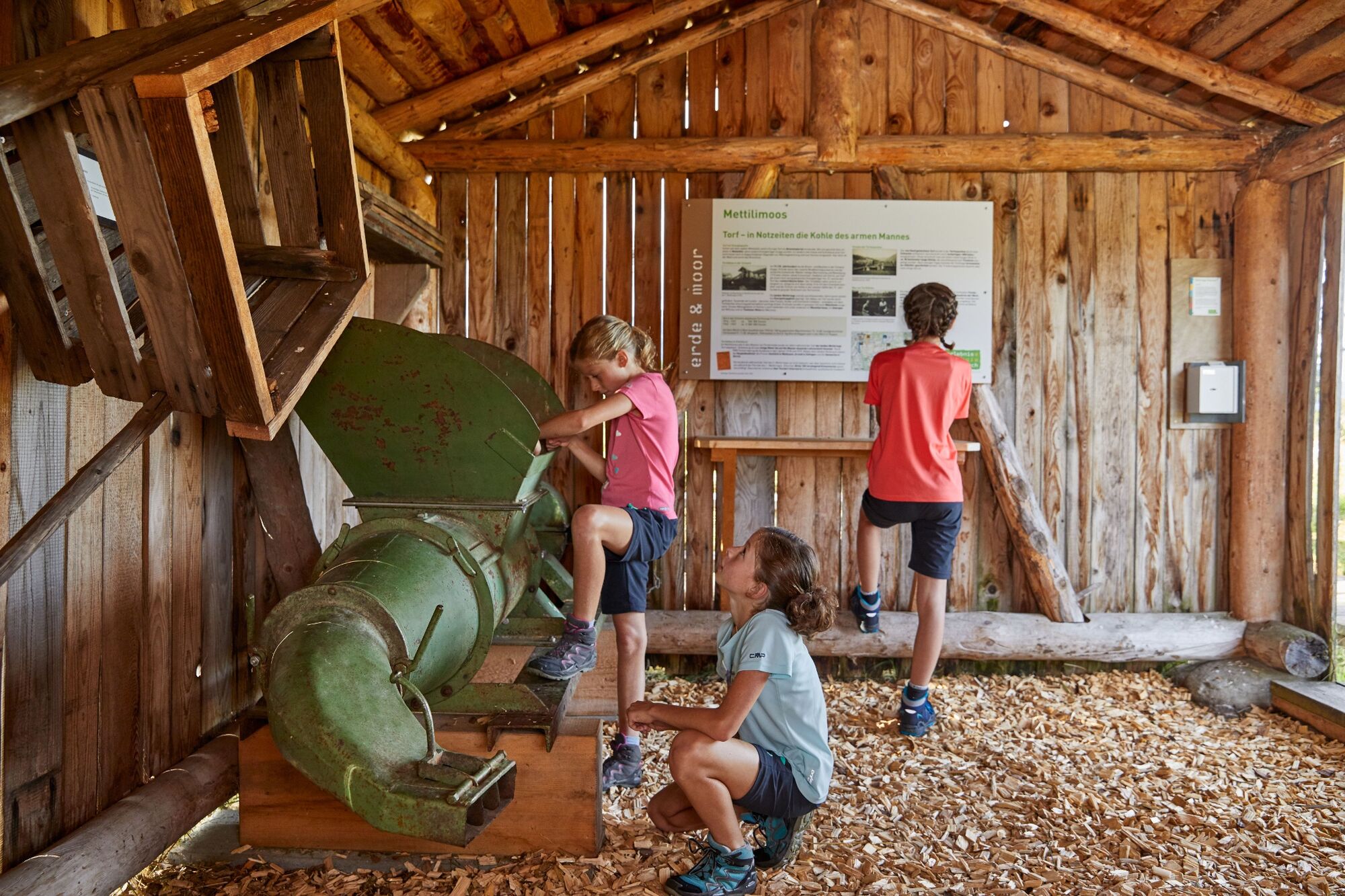
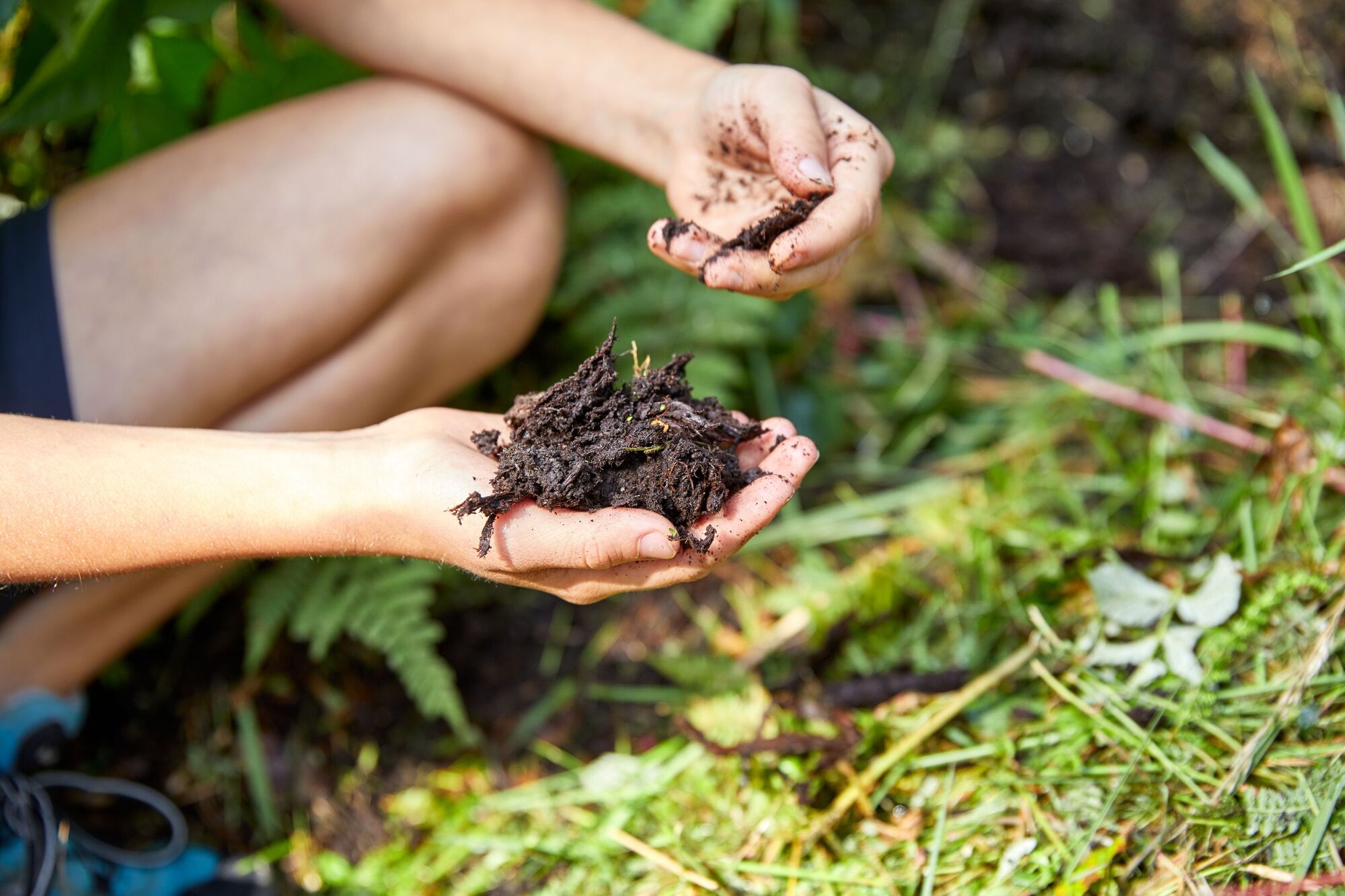
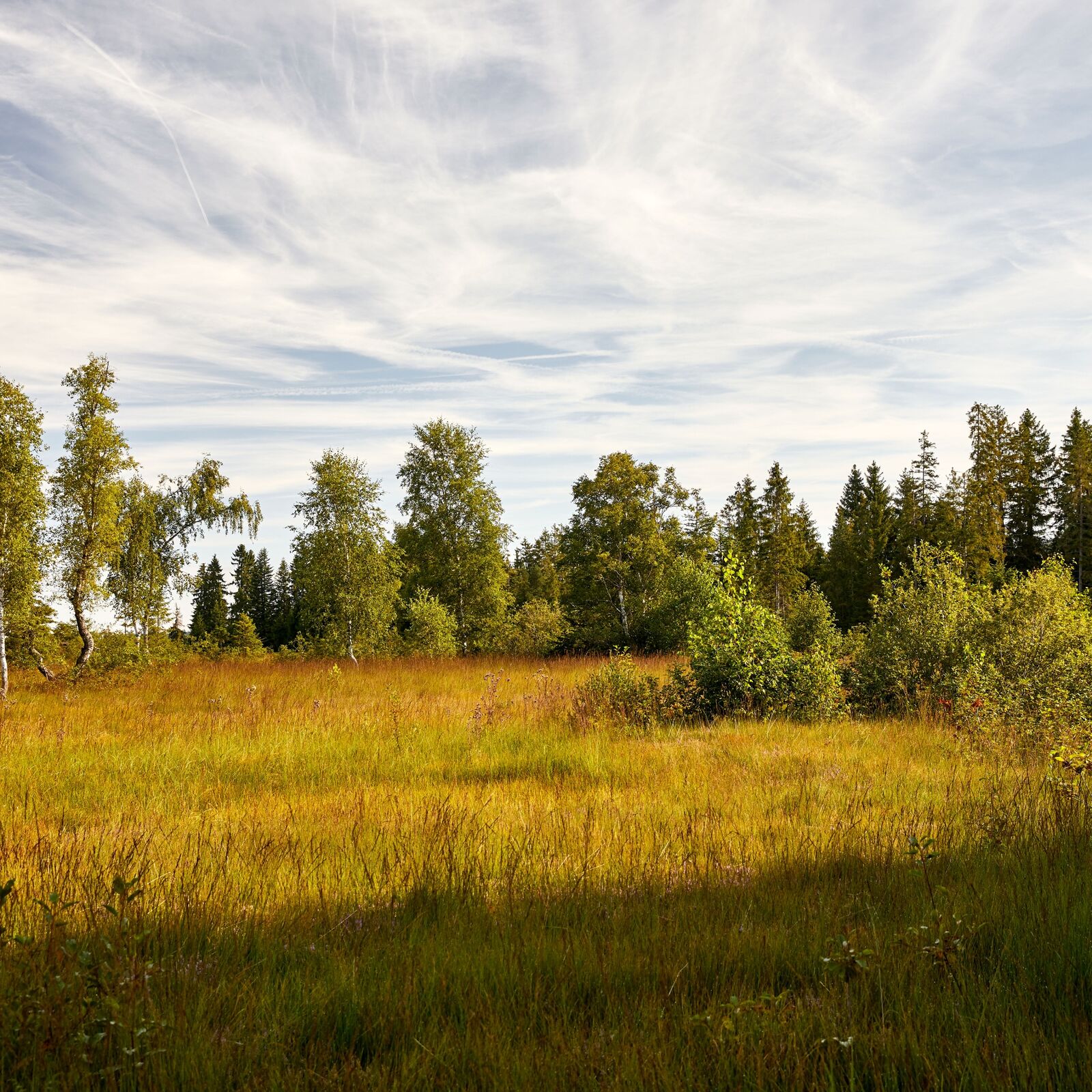
Auf dem Moorpfad wandern Sie durch eindrückliche Hochmoore und blumenreiche Flachmoore.
- Vanskelighet
-
lett
- Evaluering
-
- Rute
-
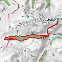
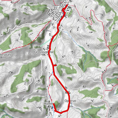
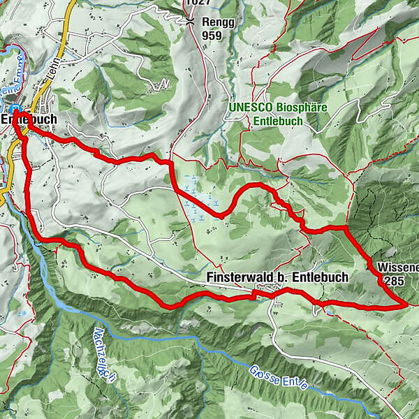
Entlebuch (684 m)Bahnhöfli0,1 kmMeienrisli0,3 kmKatholische Kirche St. Martin0,3 kmEntlebuch (723 m)0,4 kmAlpiliegg (1.279 m)5,6 kmWissenegg (1.285 m)6,2 kmWissenegg7,4 kmFinsterwald b. Entlebuch8,6 kmFinsterwald8,8 kmEntlebuch (723 m)13,8 kmBahnhöfli14,0 km
- Beste sesong
-
jan.feb.marsaprilmaijunijuliaug.sep.okt.nov.des.
- Høyeste punkt
- 1.282 m
- Reisemål
-
Entlebuch Bahnhof
- Høydeprofil
-
 © outdooractive.com

- Forfatter
-
Turneen Moorpfad Mettilimoos brukes av outdooractive.com forutsatt.
GPS Downloads


Generell info
Flora
Flere turer i regionene
-
Obwalden
2014
-
UNESCO Biosphäre Entlebuch
630
-
Entlebuch LU
152