© UNESCO Biosphäre Entlebuch - Martin Mägli

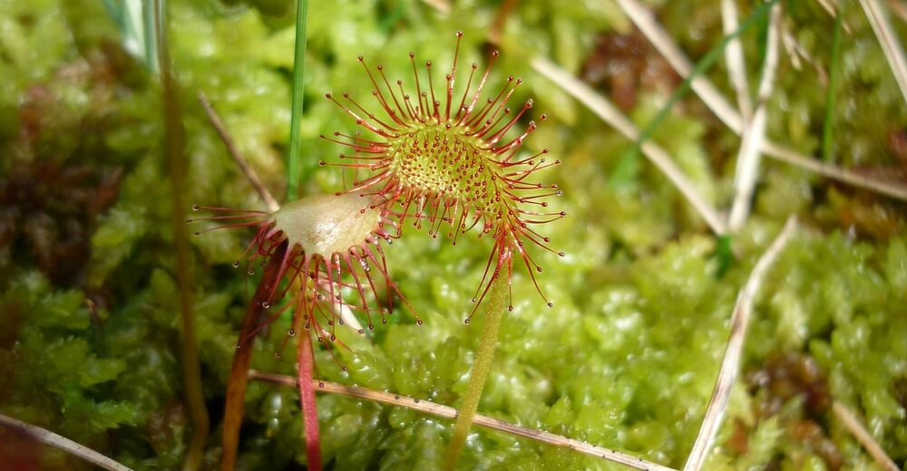
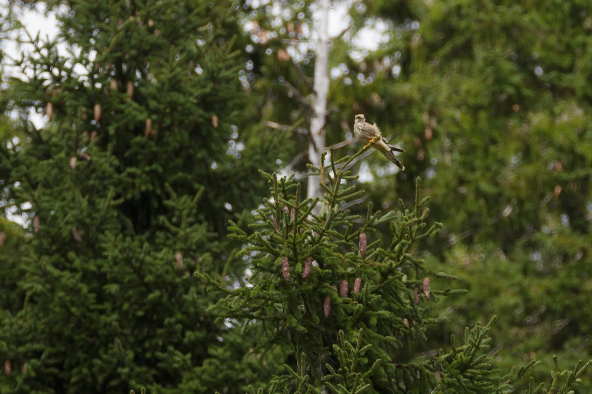
© UNESCO Biosphäre Entlebuch - FELDERVOGEL
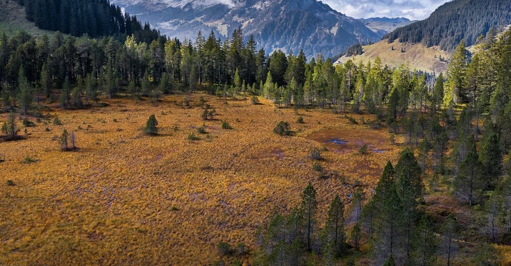
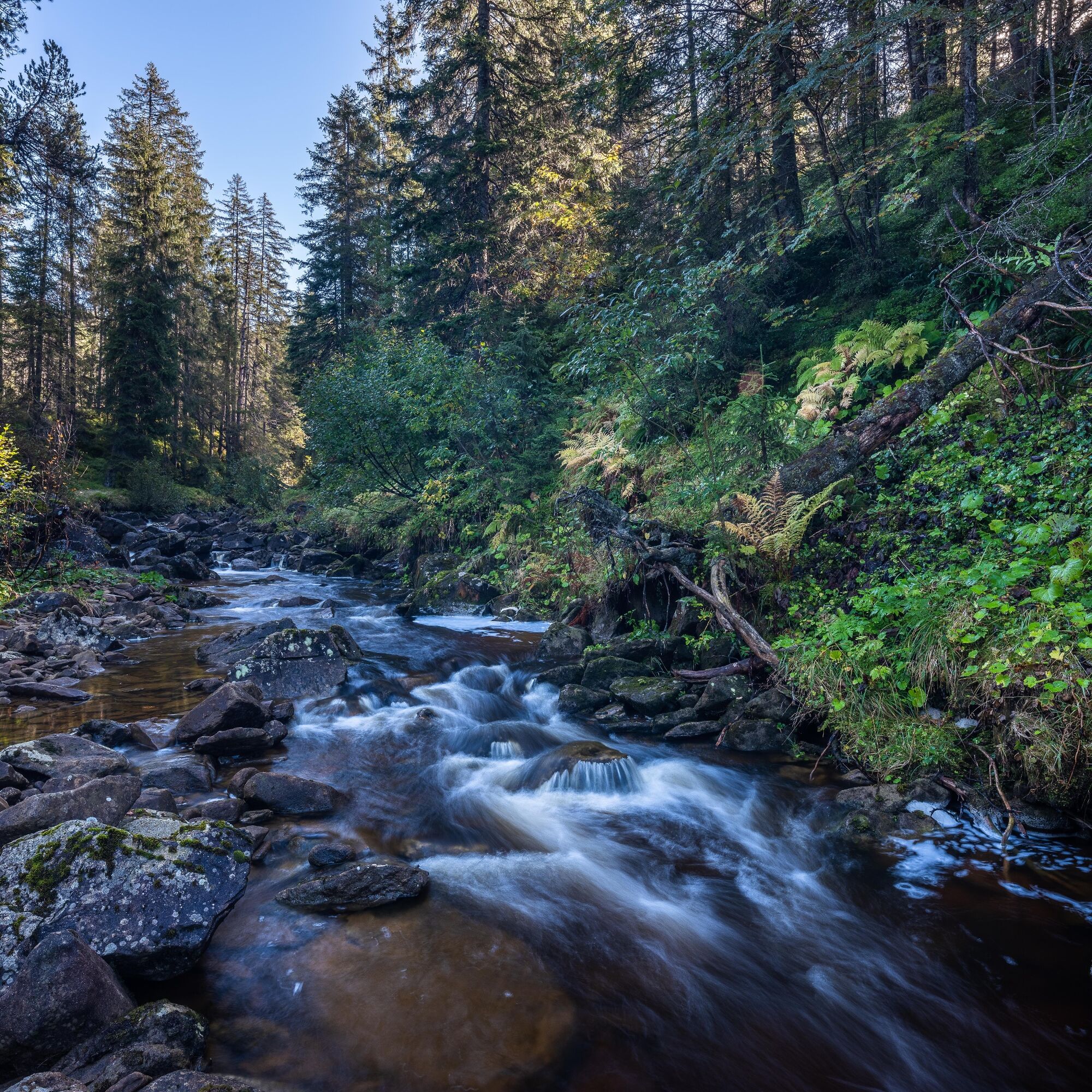
© UNESCO Biosphäre Entlebuch - Florian Knaus

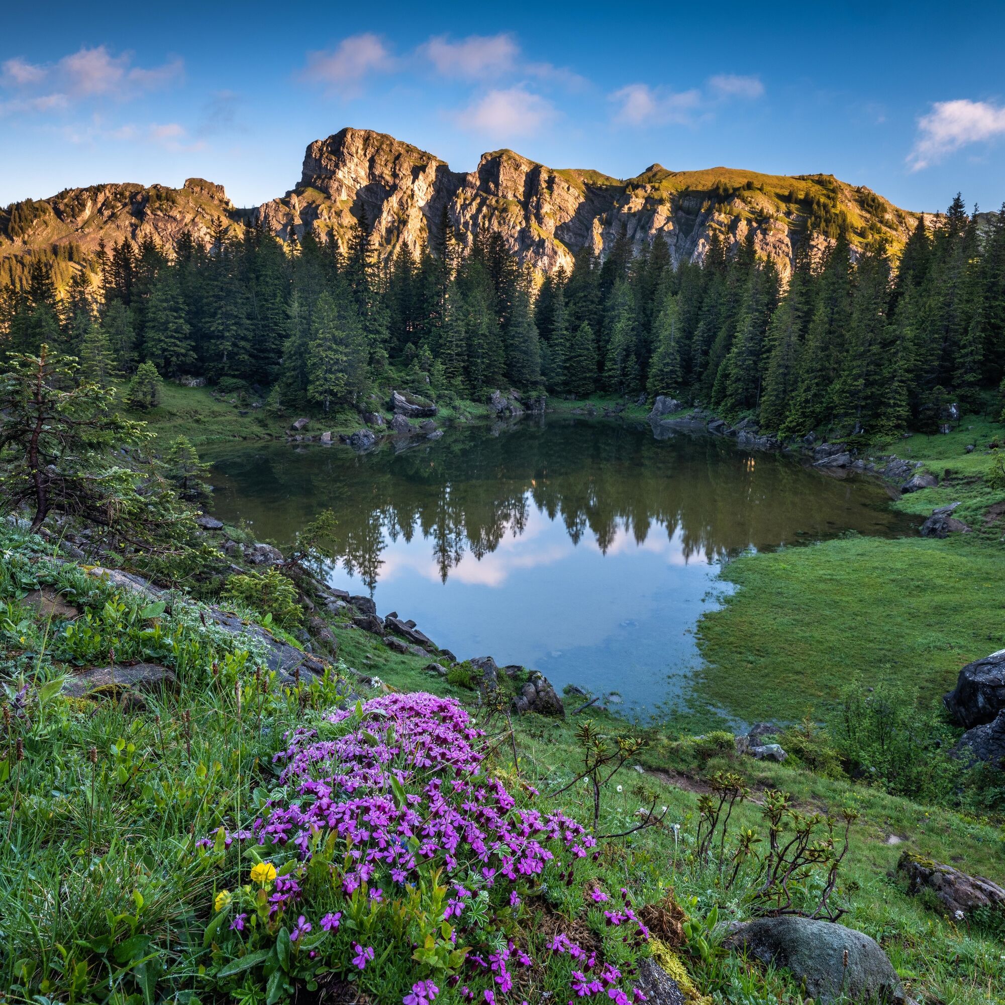
© UNESCO Biosphäre Entlebuch - Martin Mägli
© UNESCO Biosphäre Entlebuch - David Kurth

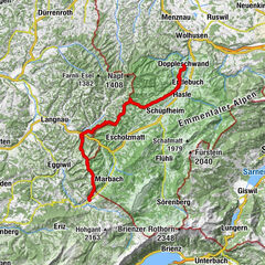
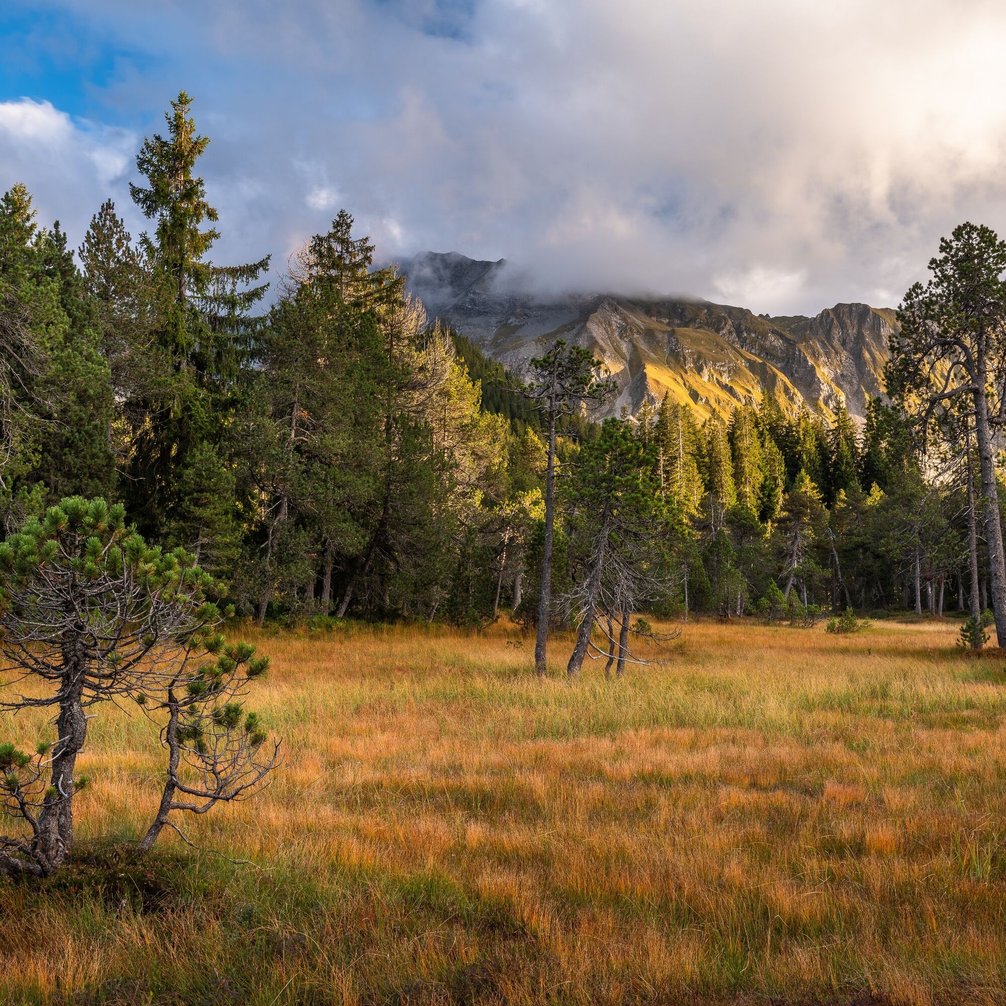
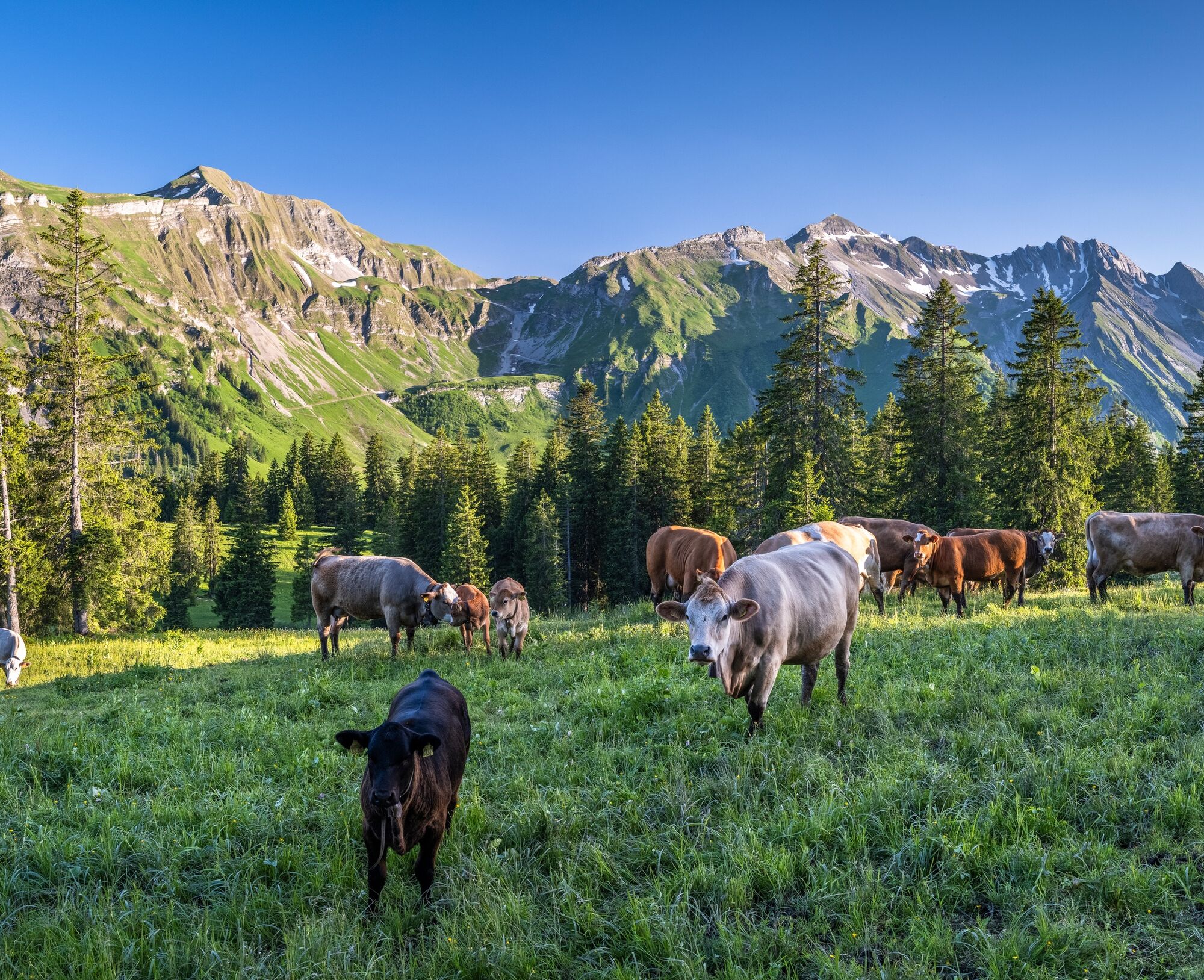
© UNESCO Biosphäre Entlebuch - Martin Mägli

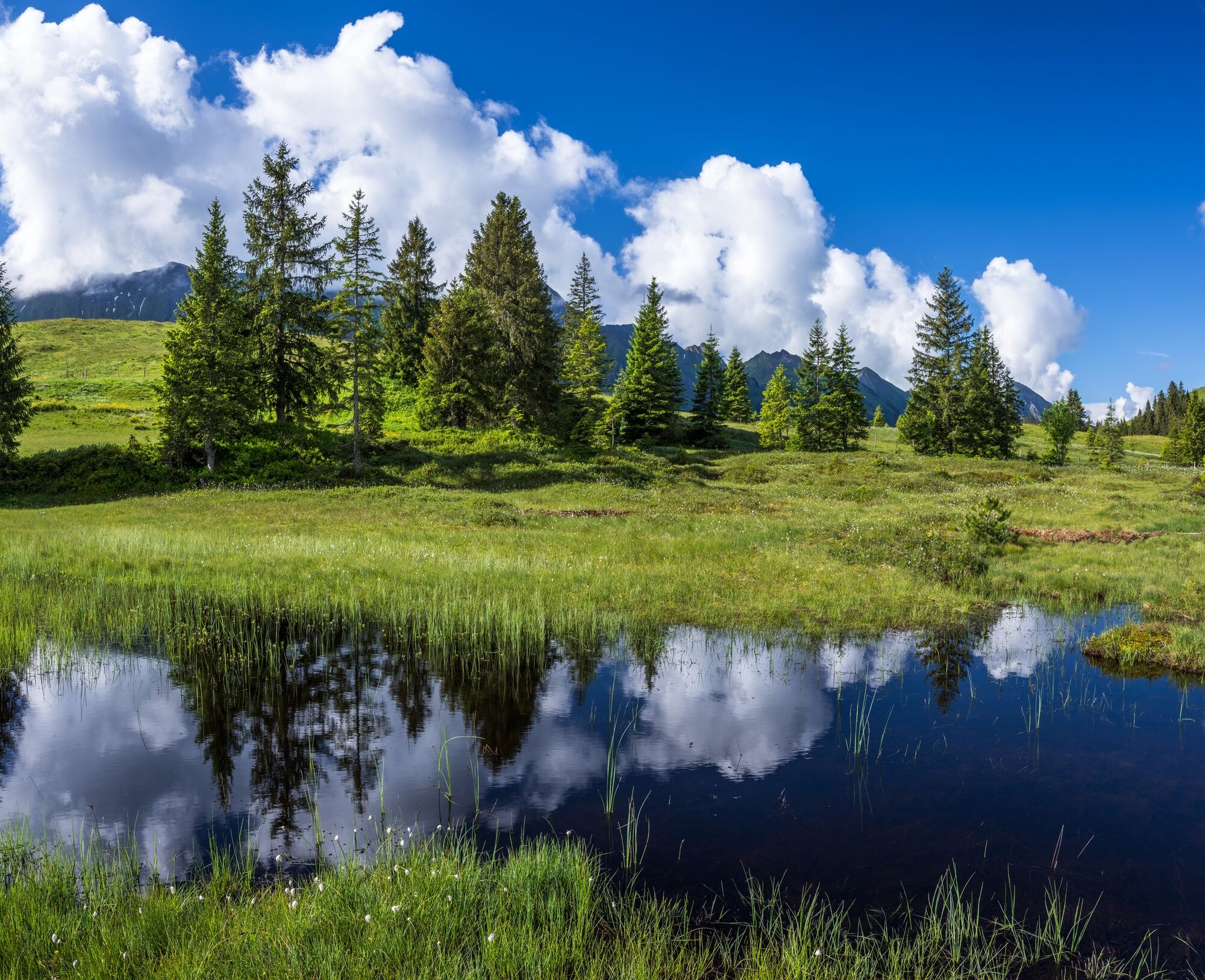
© UNESCO Biosphäre Entlebuch - Martin Mägli

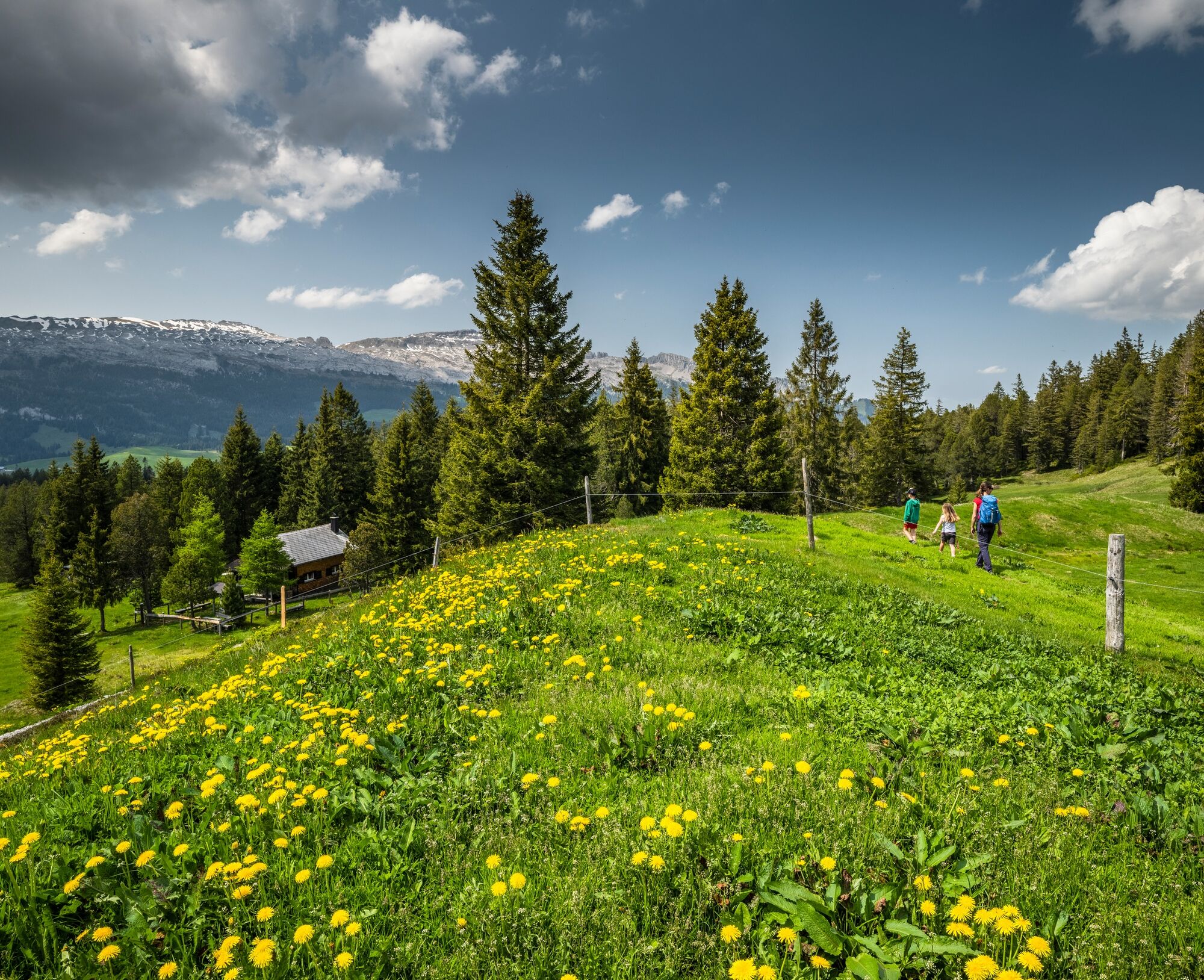
© UNESCO Biosphäre Entlebuch - Martin Mägli

© UNESCO Biosphäre Entlebuch - Martin Mägli

© UNESCO Biosphäre Entlebuch - Franziska Hofer
- Kort beskrivelse
-
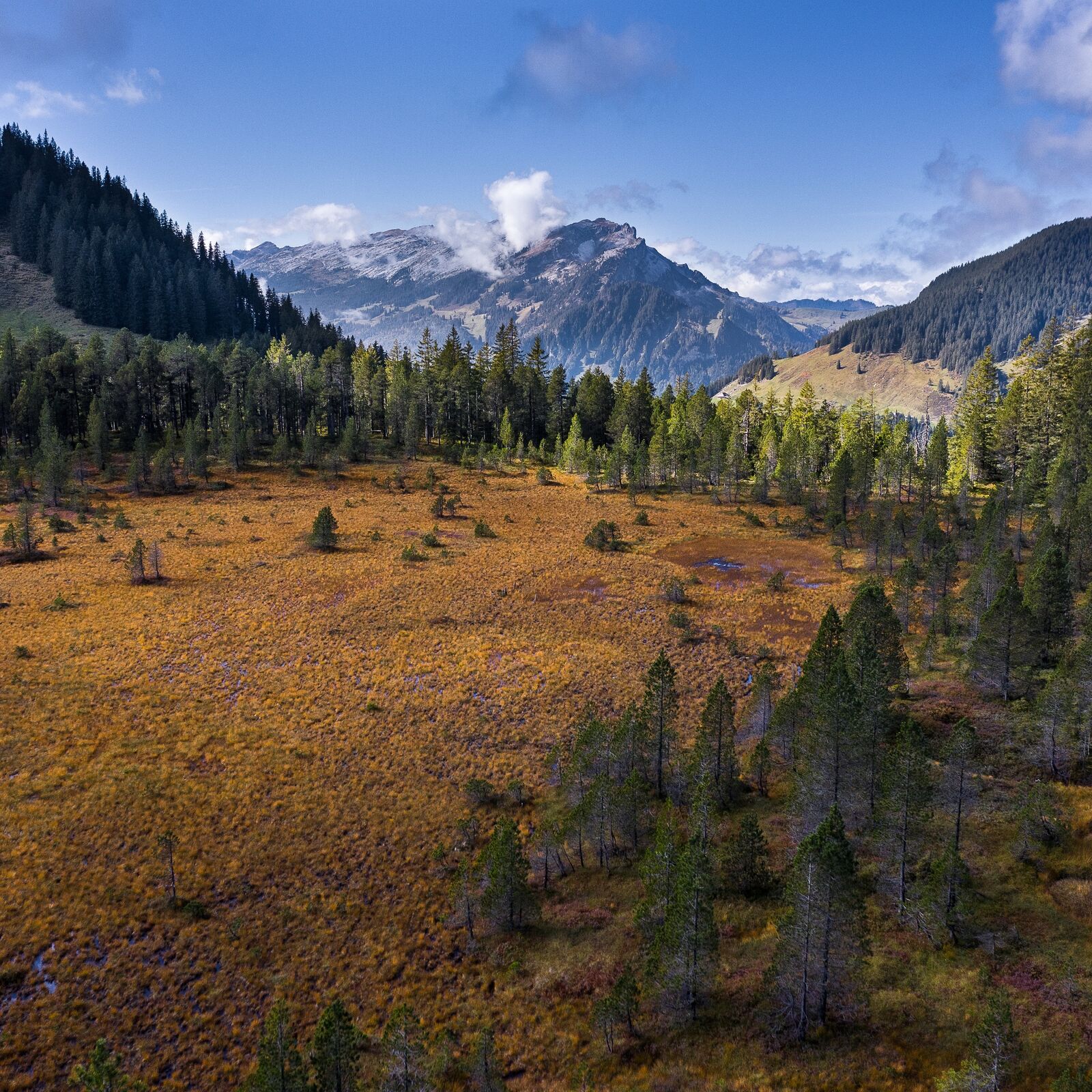
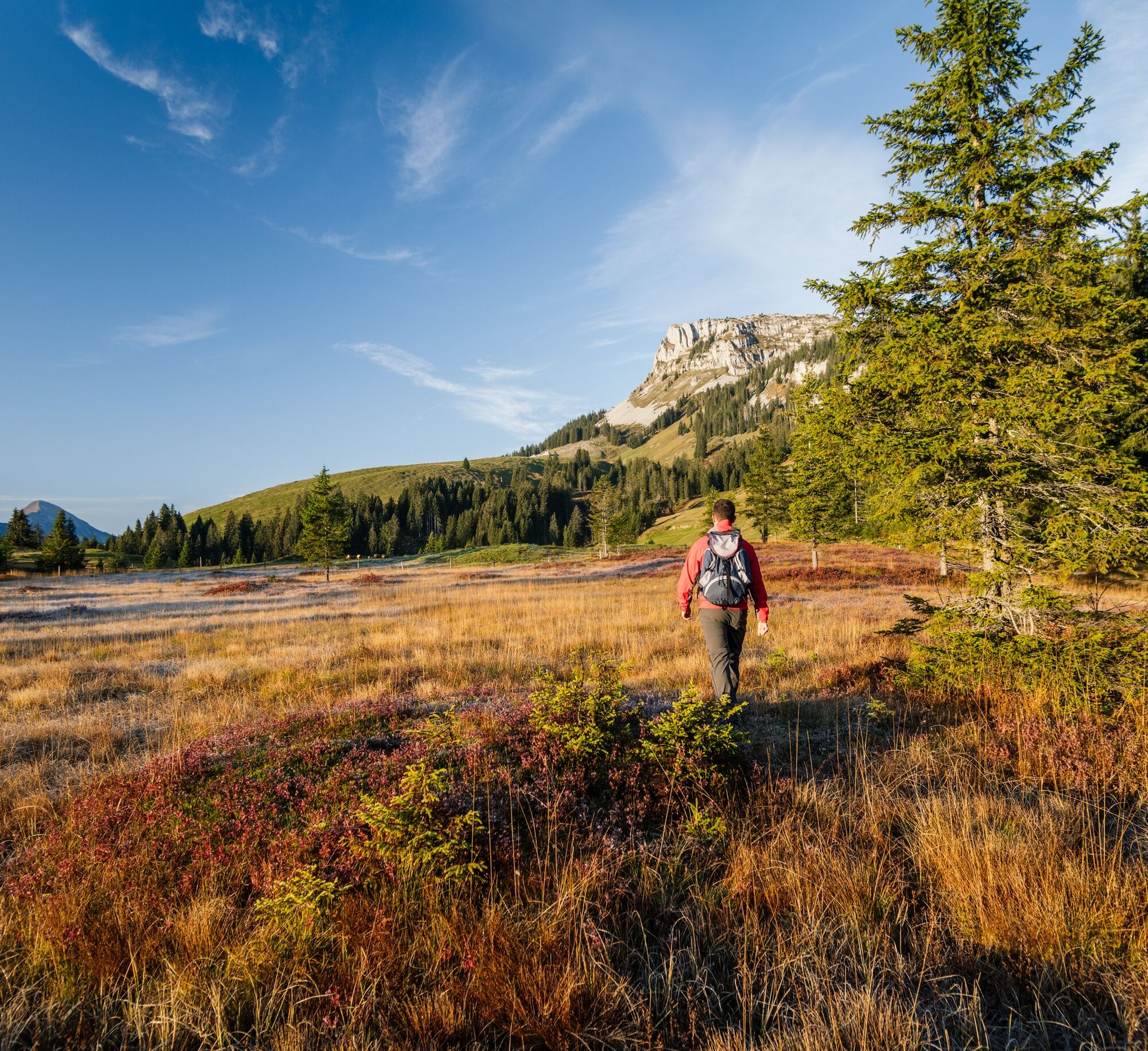
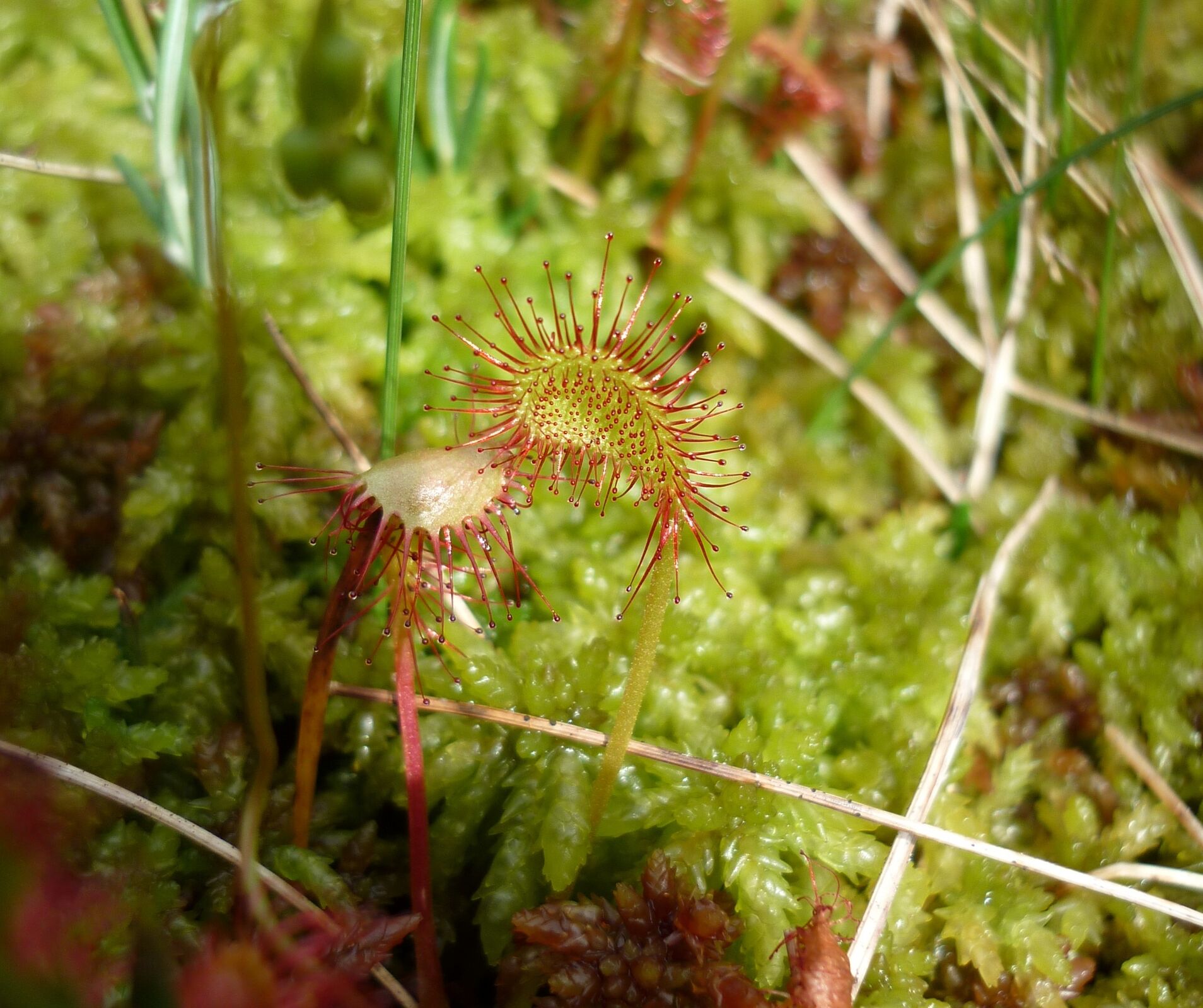
This is a unique round walk through the moorland scenery of the UNESCO Biosphere Entlebuch. You'll love the barren raised bogs, flora-rich flat moors and primal moorland landscapes! Moors as far as the eye can see!
- Vanskelighet
-
vanskelig
- Evaluering
-
- Rute
-
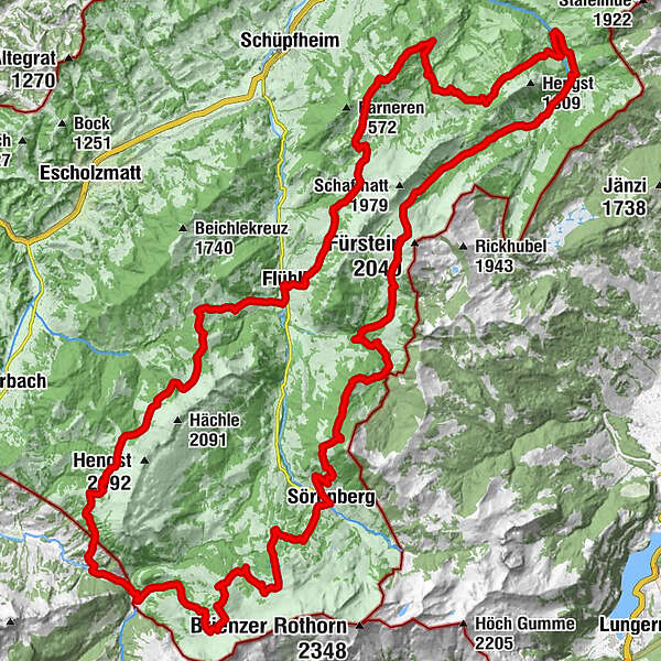
SörenbergRestaurant Bäckerstube0,1 kmHotel Sörenberg0,1 kmAlpenrösli0,1 kmBleikechopf (1.680 m)6,2 kmWasserfallenegg14,9 kmHintergrund21,1 kmGfellen24,8 kmSchimbrig Bad (1.423 m)29,4 kmNeuhütte31,4 kmBerghaus First36,3 kmFinishütte39,1 kmSalzbüel (1.202 m)42,5 kmFlühli (882 m)46,4 kmHilferepass (1.289 m)50,2 kmImbrig58,5 kmOberhachegg59,5 kmKemmeri62,2 kmKemmeribodenbad63,0 kmKemmeriboden63,3 kmHübeli64,4 kmBergstation Skilift Dorf78,8 kmSörenberg79,8 km
- Beste sesong
-
jan.feb.marsaprilmaijunijuliaug.sep.okt.nov.des.
- Høyeste punkt
- 1.793 m
- Reisemål
-
Sörenberg: PostBus stop "Sörenberg, Post"
- Høydeprofil
-
 © outdooractive.com
-

-
ForfatterTurneen UNESCO Biosphere Entlebuch moorland path brukes av outdooractive.com forutsatt.
GPS Downloads


Generell info
Innsidertips
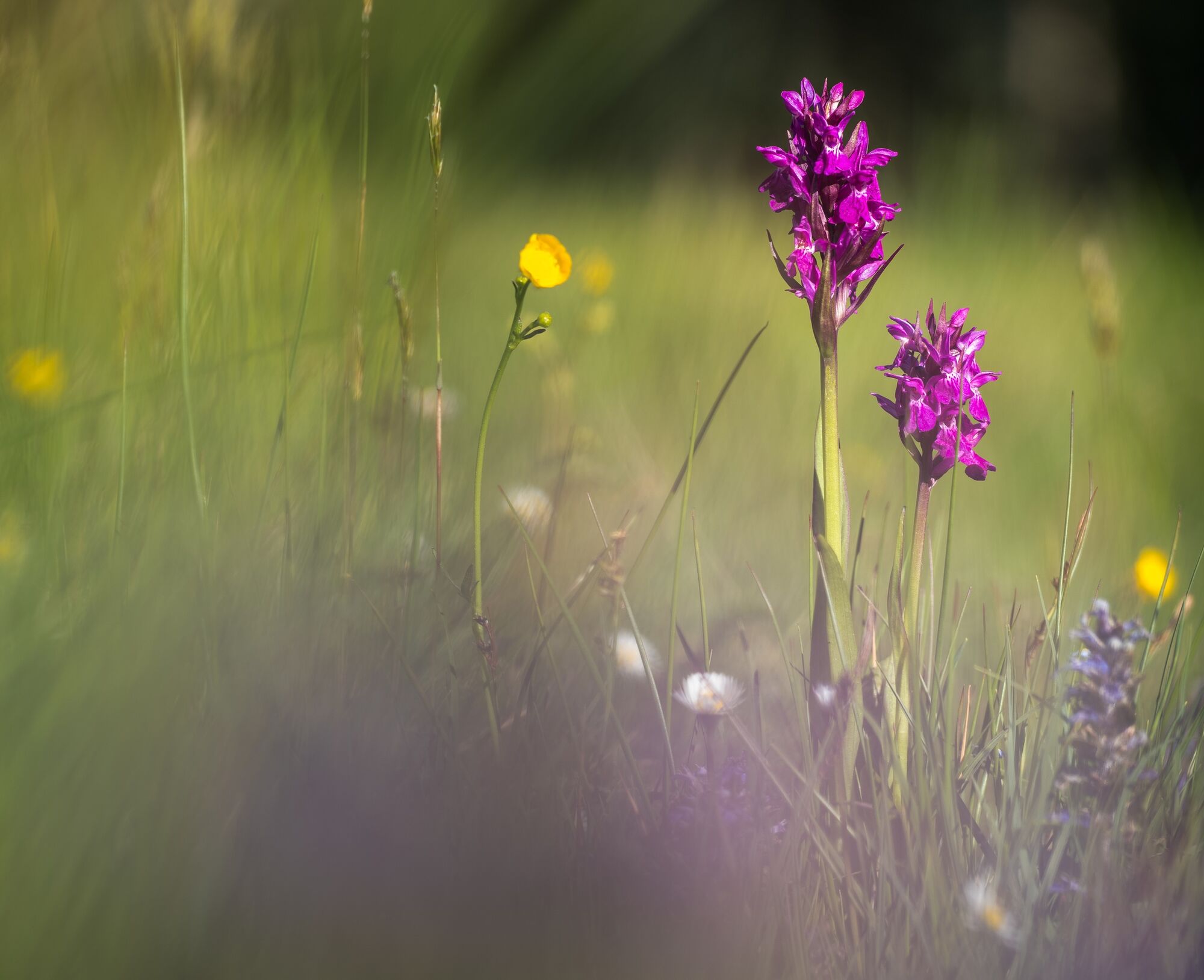
Flora
Fauna
Lovende
Flere turer i regionene
-
Obwalden
2014
-
UNESCO Biosphäre Entlebuch
630
-
Flühli
179