Via Dinarica HR-W-10 Northern Velebit National Park (I) - Zavižan


- Kort beskrivelse
-
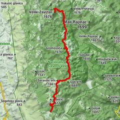
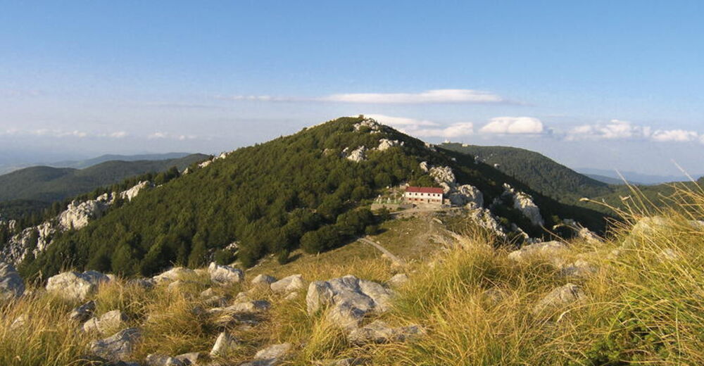
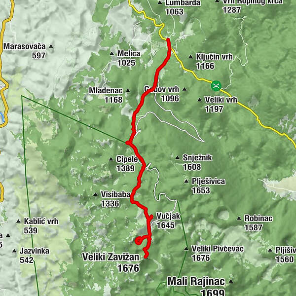
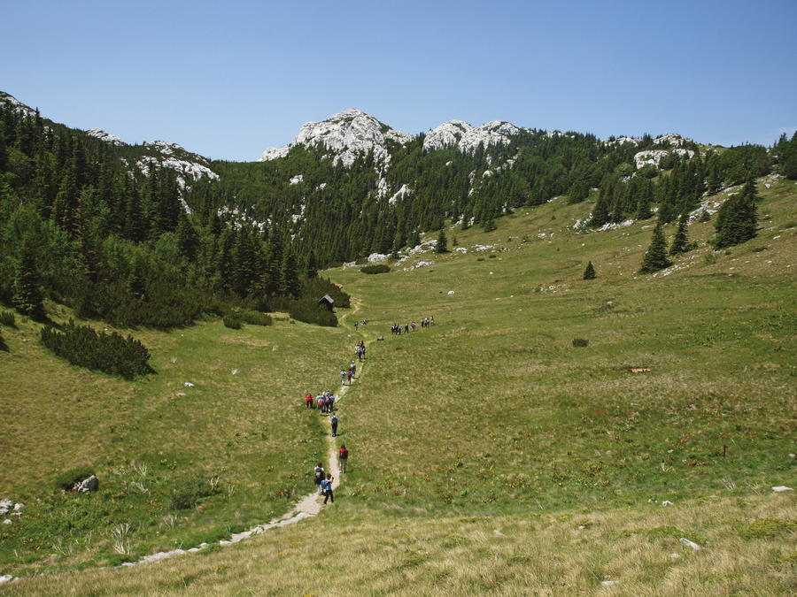
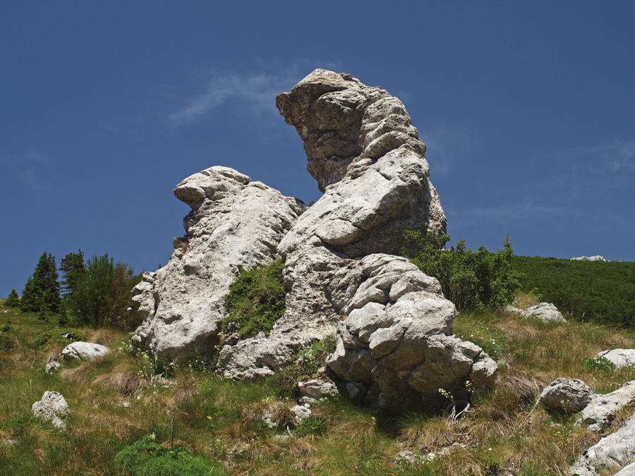
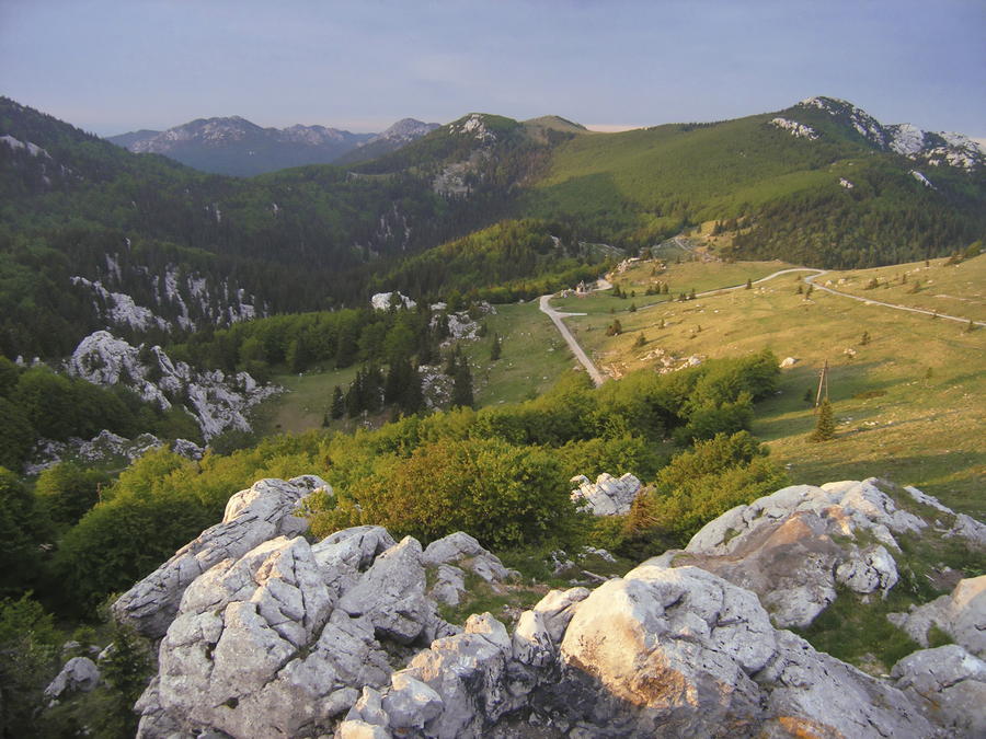
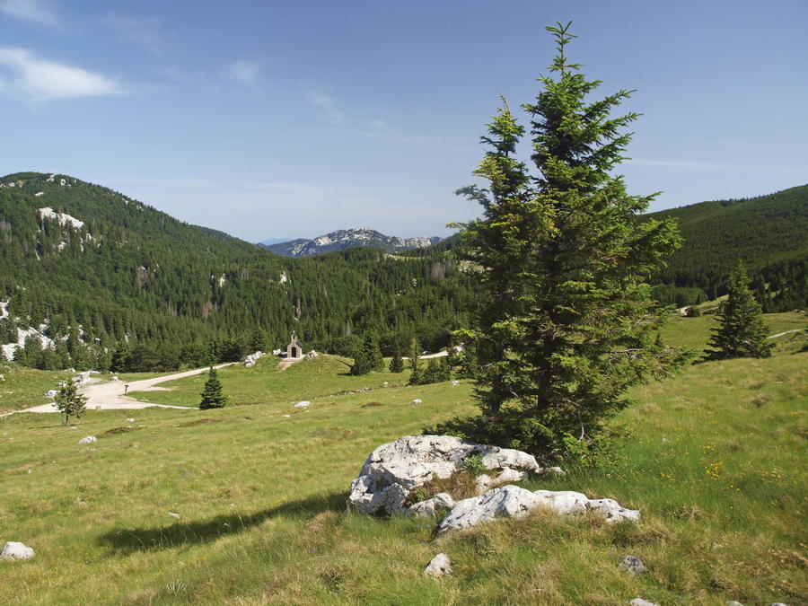
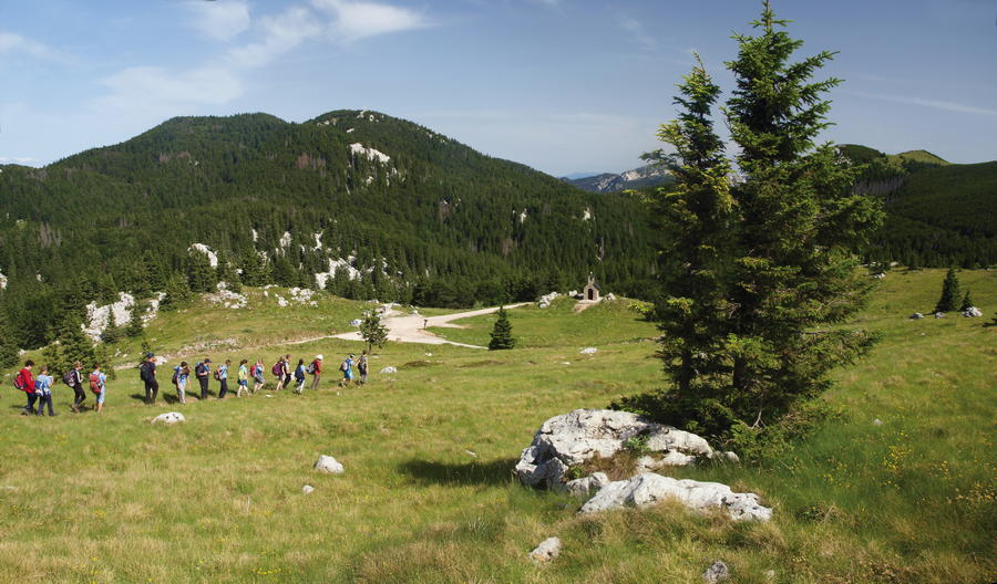
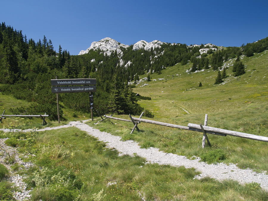
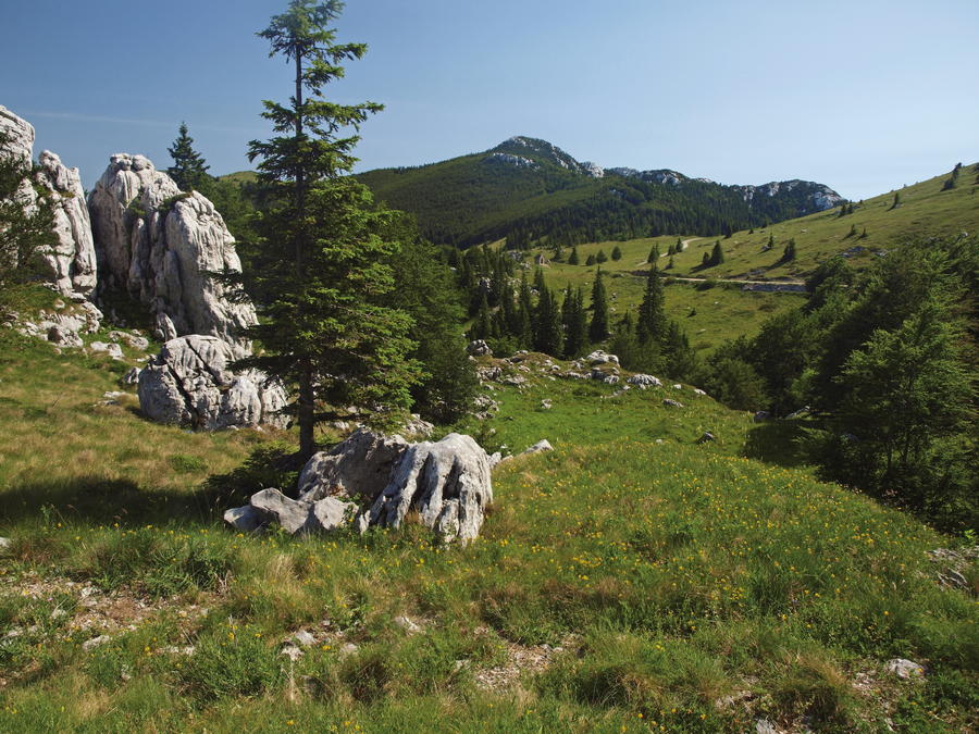
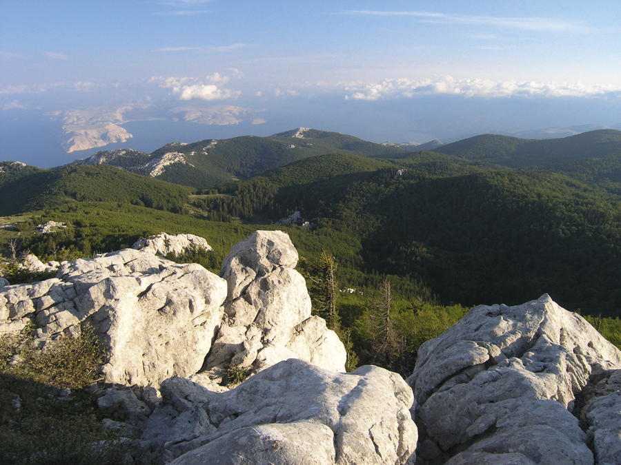
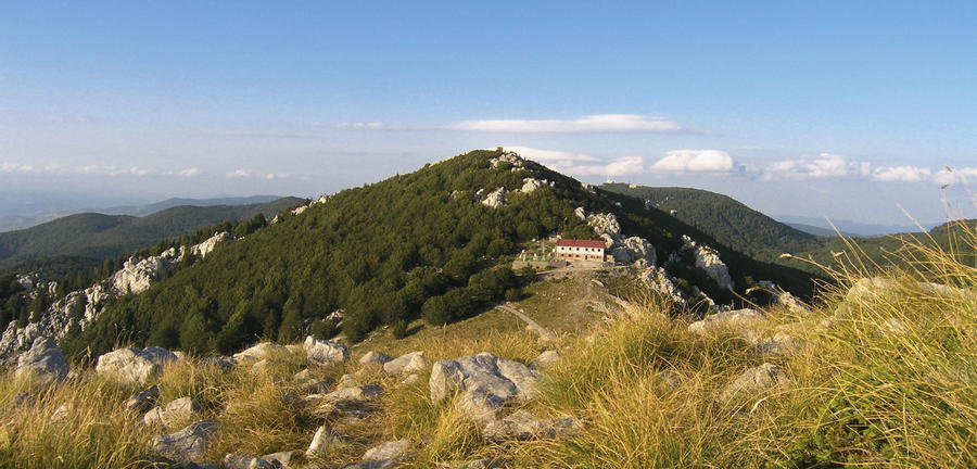
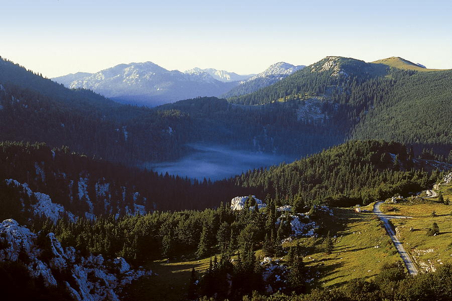
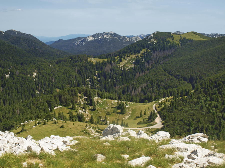
The wider area of Zavižan, together with the sites of Rožanski kukovi and Hajdučki kukovi, is one of the most beautiful mountain areas in Croatia, and therefore protected as a national park. That area of Velebit and the name of Zavižan are well known not only for their beauty, but also for the mountain meteorological station Zavižan, established in 1953. The Zavižan group of mountain peaks occupies a central position in the northern area of Velebit. It consists of picturesque peaks surrounding the valley of Zavižanska kotlina like a wreath of sorts: V. Zavižan (1676 m.a.s.l.), Balinovac (1602 m.a.s.l.), Zavižanska kosa (1620 m.a.s.l.), Vučjak (1645 m.a.s.l.), Zalovačko bilo (1630 m.a.s.l.) and Pivčevac (1676 m.a.s.l.). From Pivčevac towards the southeast, the series continues with the peaks of M. Rajinac (1699 m.a.s.l.), V. Rajinac (1667 m.a.s.l.) and Lomski vrh (1464 m.a.s.l.). Almost all these peaks are covered in forest interspersed with meadows, while the crowns themselves are bare, which makes them all good viewpoints.
- Vanskelighet
-
middels
- Evaluering
-
- Rute
-
OltariKuća Oltari (940 m)0,0 kmMarkovići0,3 kmPlan3,1 kmBabić Sića4,5 kmDom Zavižan8,1 kmVučjak (1.645 m)8,3 kmVeliki Zavižan (1.676 m)11,4 km
- Beste sesong
-
jan.feb.marsaprilmaijunijuliaug.sep.okt.nov.des.
- Høyeste punkt
- 1.650 m
- Reisemål
-
Vrh Zavižana
- Høydeprofil
-
 © outdooractive.com


-

-
ForfatterTurneen Via Dinarica HR-W-10 Northern Velebit National Park (I) - Zavižan brukes av outdooractive.com forutsatt.