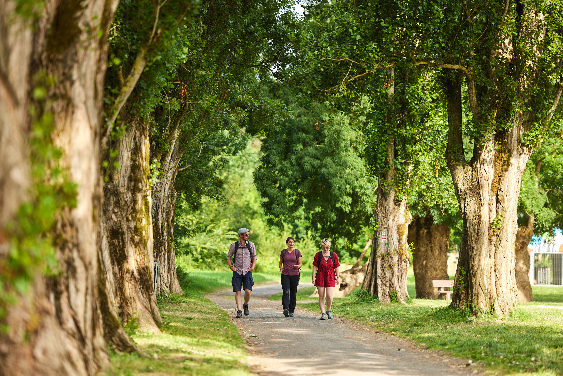
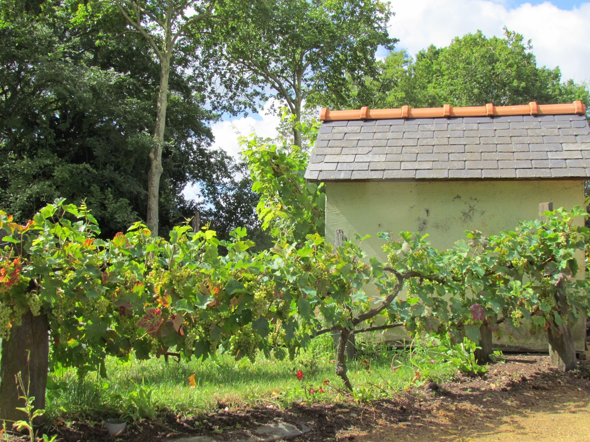
Motte and bailey castle to the vineyards, via the conservatory orchard


© A. Lamoureux / Destination Angers

© Château à Motte Verrières en Anjou

© Commune de Verrières-en-Anjou
- Kort beskrivelse
-
Near the Lower Anjou Valleys is the commune of Verrières-en-Anjou. It takes its name from the historic forest that covered the north-east of Angers in the Middle Ages and offers walkers a privileged natural and heritage setting.
- Vanskelighet
-
lett
- Evaluering
-
- Rute
-
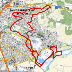
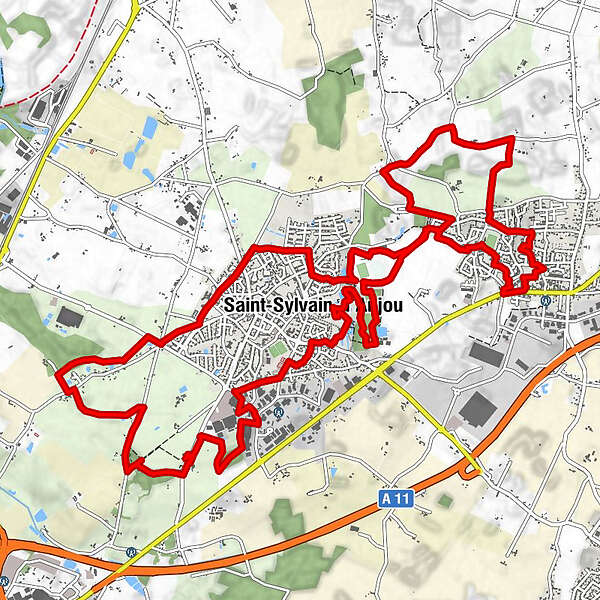
Saint-Sylvain-d'Anjou0,2 kmZone industrielle de Bourgogne1,9 kmLe P'tit Birdie3,4 kmLa Nouette5,1 kmFontaine Brûlon5,7 kmL'Enclose5,9 kmLe Veillerot8,2 kmSaint-Sylvain-d'Anjou8,9 kmPellouailles-les-Vignes15,2 kmÉglise Sainte-Emérance15,3 kmSaint-Sylvain-d'Anjou19,3 km
- Beste sesong
-
jan.feb.marsaprilmaijunijuliaug.sep.okt.nov.des.
- Høyeste punkt
- 50 m
- Reisemål
-
Saint-Sylvain-d'Anjou
- Høydeprofil
-
 © outdooractive.com

-

-
ForfatterTurneen Motte and bailey castle to the vineyards, via the conservatory orchard brukes av outdooractive.com forutsatt.
GPS Downloads


Generell info
Kulturell/Historisk
Lovende