© Destination Angers

© Destination Angers

© Destination Angers

© A. Lamoureux

© Destination Angers
- Kort beskrivelse
-
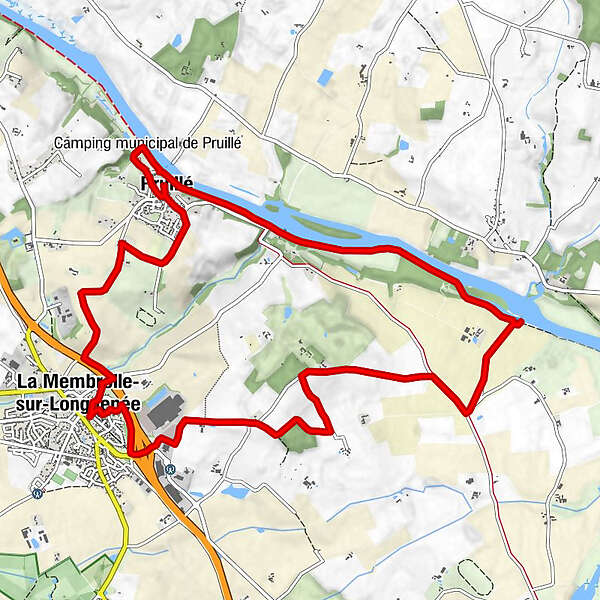
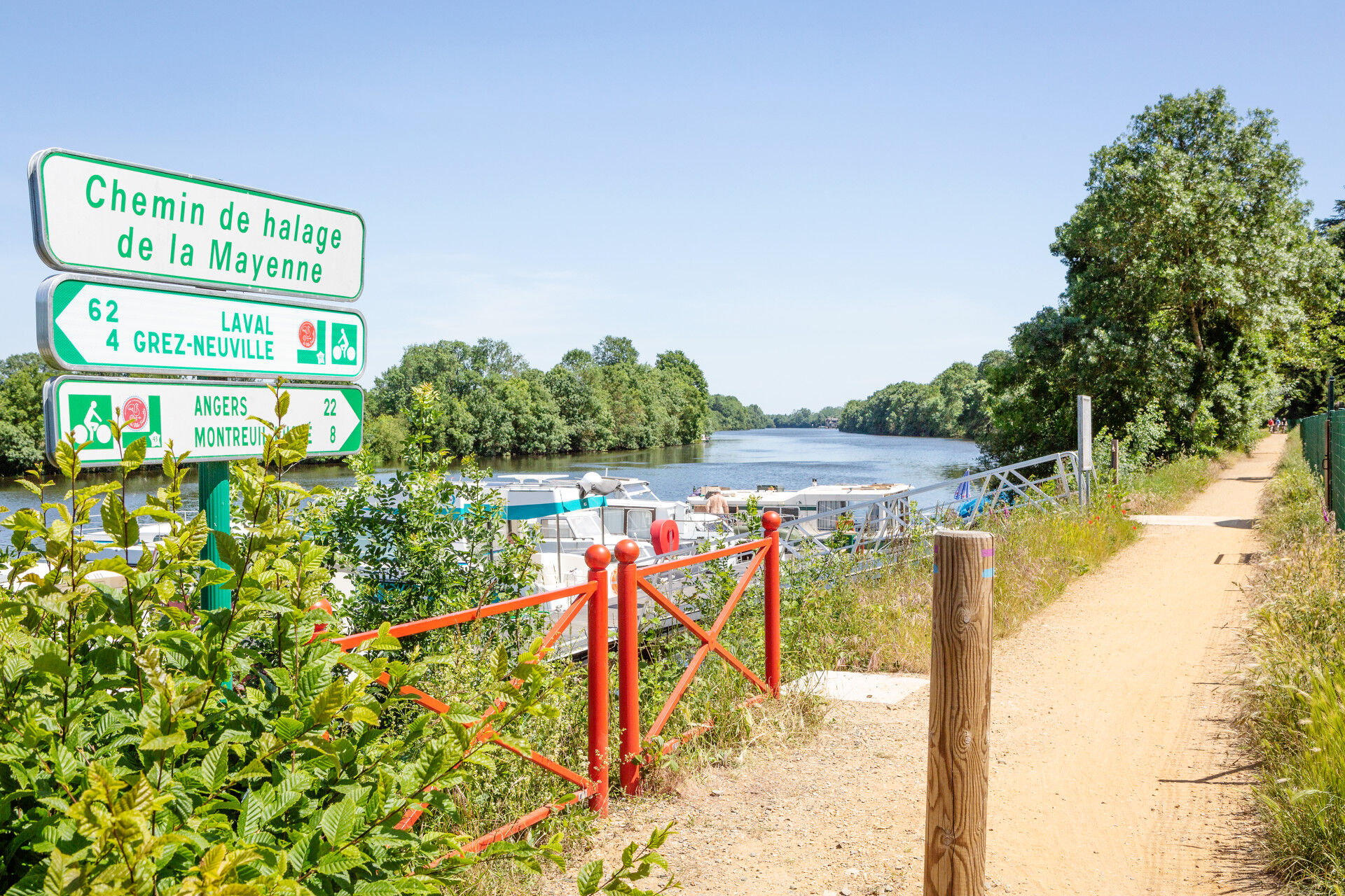
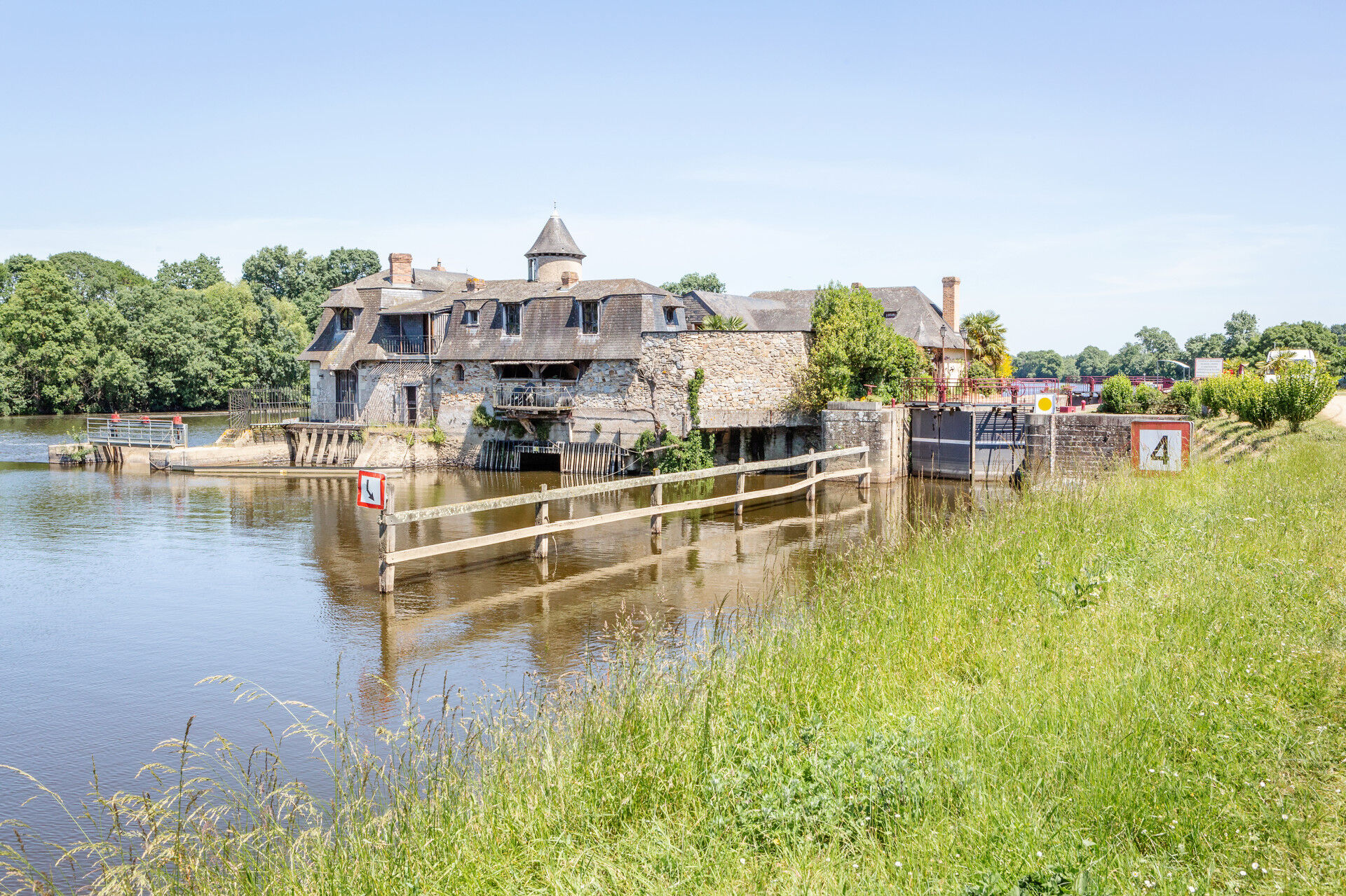
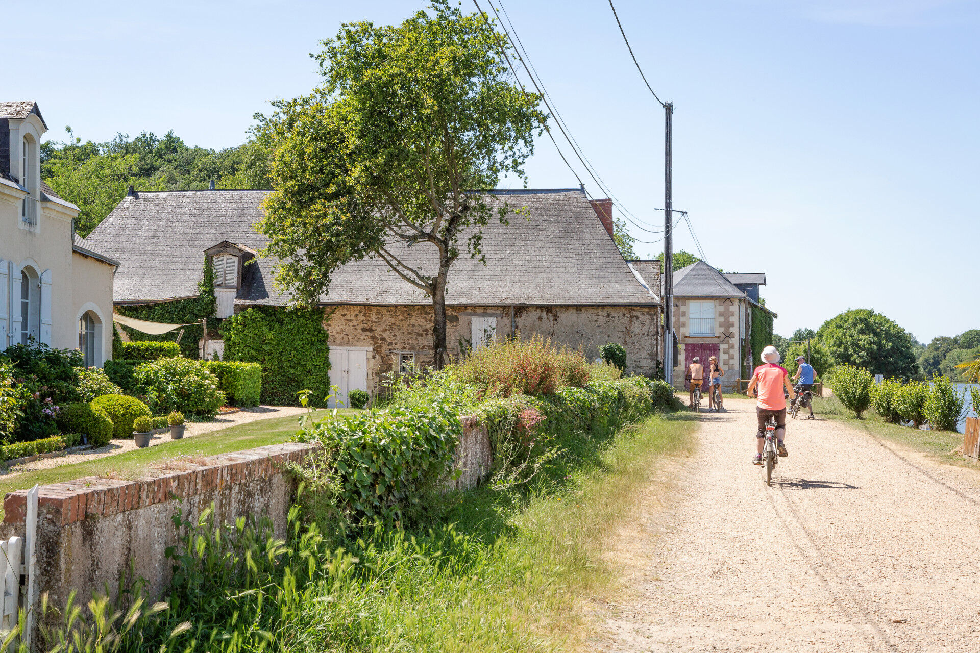
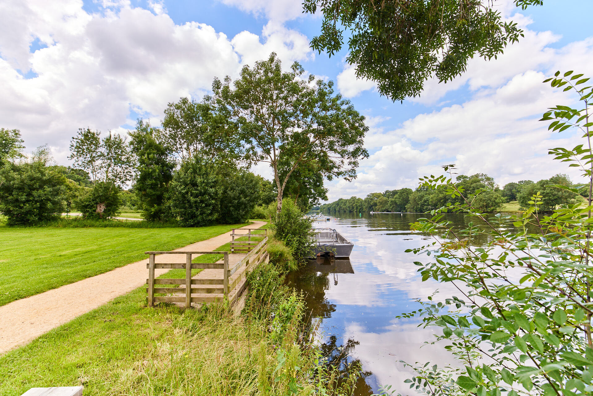
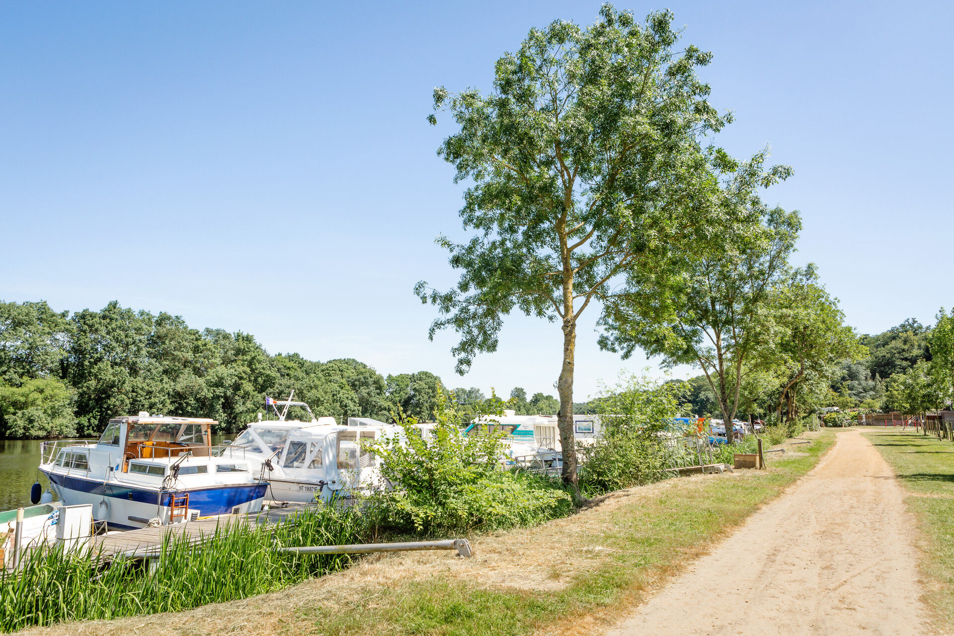
This path near Membrolle-sur-Longuenée and Pruillé gives hikers a unique view on beautiful wooded countrysides, peaceful pathways and on the banks of the Mayenne river with a climax: the Roussière lock and the towpath.
- Vanskelighet
-
lett
- Evaluering
-
- Rute
-
Acquaviva0,1 kmLa Membrolle-sur-Longuenée0,1 kmVilliers1,2 kmClos de Beausoleil1,9 kmLes Goupilles2,0 kmÉglise Saint-Symphorien3,1 kmPruillé3,1 kmAuberge du bac3,3 kmLa Maison du Passeur4,1 kmBistrot de l'écluse5,4 kmBelle Vue9,7 kmMalvoisine10,8 kmLa Peloperie11,7 kmLes Mortiers12,0 kmÉchangeur de la Chevallerie12,9 kmLa Membrolle-sur-Longuenée13,6 kmAcquaviva13,8 km
- Beste sesong
-
jan.feb.marsaprilmaijunijuliaug.sep.okt.nov.des.
- Høyeste punkt
- 80 m
- Reisemål
-
Membrolle-sur-Longuenée
- Høydeprofil
-
 © outdooractive.com
-

-
ForfatterTurneen Marcillé plateau to the towpath brukes av outdooractive.com forutsatt.
GPS Downloads


Generell info
Forfriskningsstopp
Helbredende klima
Flora
Lovende