© Terra Dinarica - Alan Čaplar

© Terra Dinarica - Alan Čaplar
© Terra Dinarica - Alan Čaplar
© Terra Dinarica - Alan Čaplar
© Terra Dinarica - Alan Čaplar
© Terra Dinarica - Nenad Perošević
© Terra Dinarica - Alan Čaplar
© Terra Dinarica - Žarko Seršić


- Kort beskrivelse
-
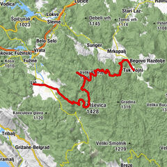
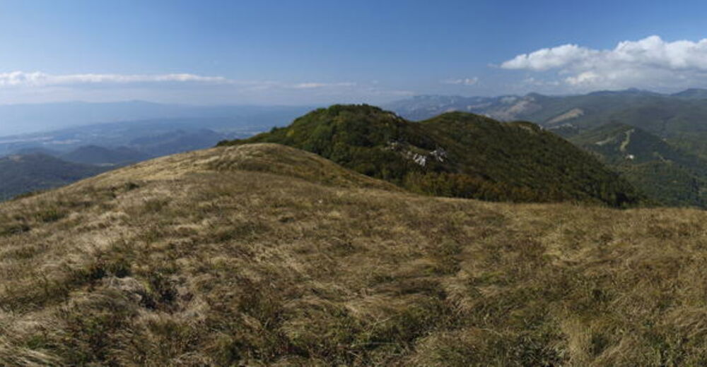
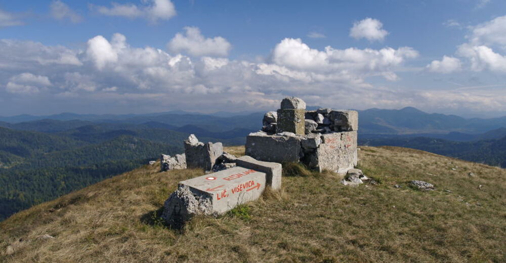
In the area south of the Risnjak National Park, Via Dinarica continues across the area of Tuhobić. This elongated mountain with steep sides follows the littoral edge of the Gorski kotar plateau from Gornje Jelenje towards Fužine for approximately 5 kilometers.
- Vanskelighet
-
middels
- Evaluering
-
- Rute
-
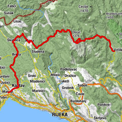
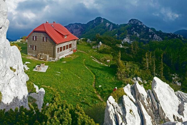
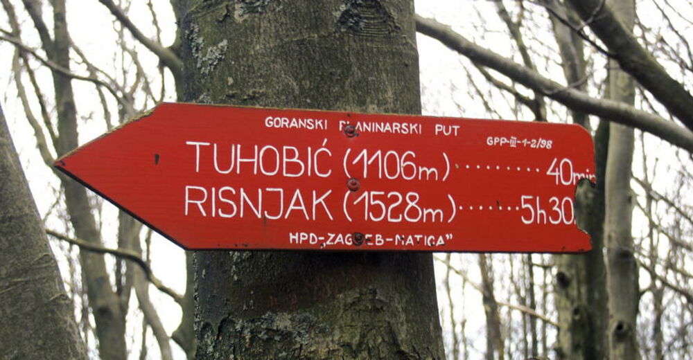
Schlosserov dom0,3 kmJužni Mali Risnjak (1.448 m)0,8 kmMedvjeđa vrata (1.288 m)1,7 kmPod Medvjeđa vrata2,1 kmRavno podolje8,5 kmTuhobić (1.109 m)15,5 kmStrgamica (1.098 m)17,5 kmJelenčić (1.106 m)18,6 kmCrkva svetog Jurja25,7 kmLìccino25,9 km
- Beste sesong
-
jan.feb.marsaprilmaijunijuliaug.sep.okt.nov.des.
- Høyeste punkt
- 1.485 m
- Reisemål
-
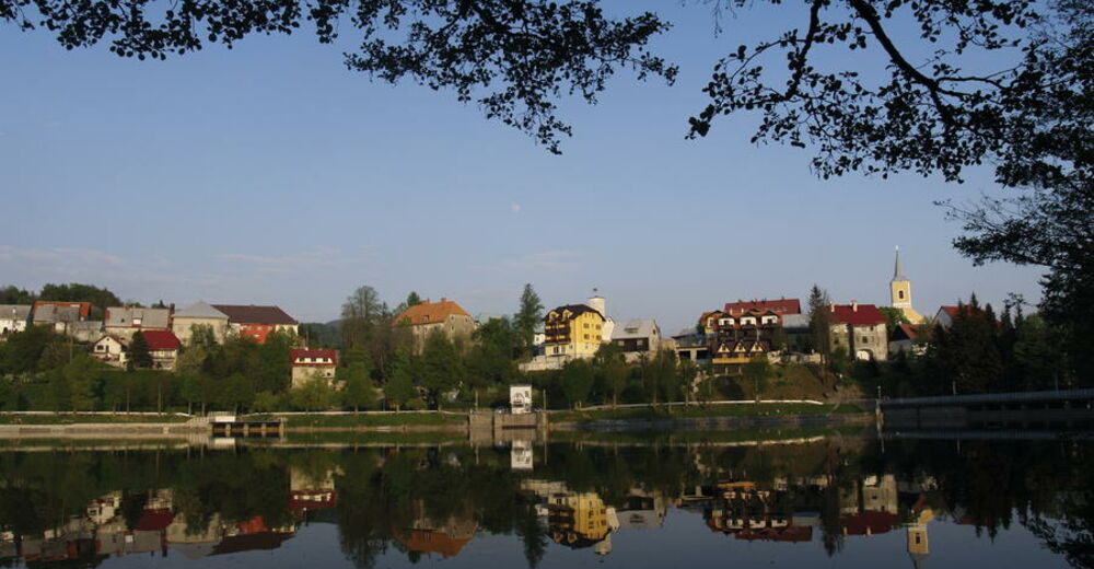
Lič / Fužine
- Høydeprofil
-
 © outdooractive.com


-

-
ForfatterTurneen Via Dinarica HR-W-04 Gornje Jelenje - Fužine brukes av outdooractive.com forutsatt.
GPS Downloads


Flere turer i regionene
-
Crikvenica
35
-
Fužine
6