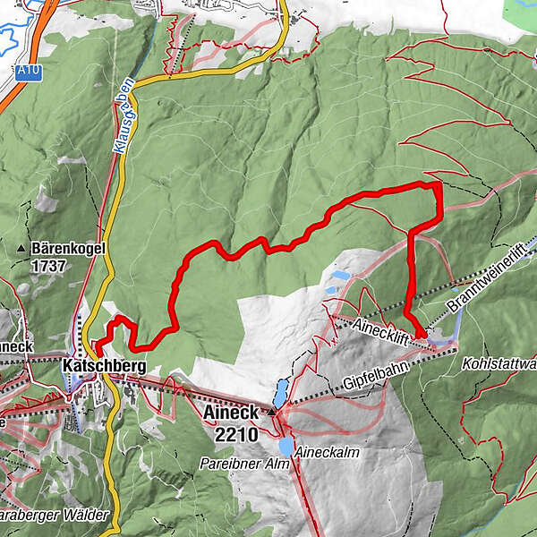
99 A/B Wanderung Panoramaweg Katschberghöhe - Branntweineralm/Kößlbacheralm


© Region Katschberg Lieser-Maltatal - ROLAND HOLITZKY

- Kort beskrivelse
-
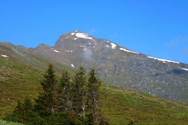
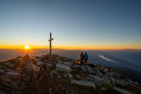
Vom Katschberg, seitlich um das Aineck, zur Kösselbacher- oder Branntweiner Alm und wieder retour.
- Vanskelighet
-
lett
- Evaluering
-
- Rute
-
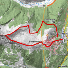
KatschbergBranntweineralm6,7 kmKatschberg13,6 km
- Beste sesong
-
jan.feb.marsaprilmaijunijuliaug.sep.okt.nov.des.
- Høyeste punkt
- 1.810 m
- Høydeprofil
-

- Forfatter
-
Turneen 99 A/B Wanderung Panoramaweg Katschberghöhe - Branntweineralm/Kößlbacheralm brukes av outdooractive.com forutsatt.
GPS Downloads


Generell info
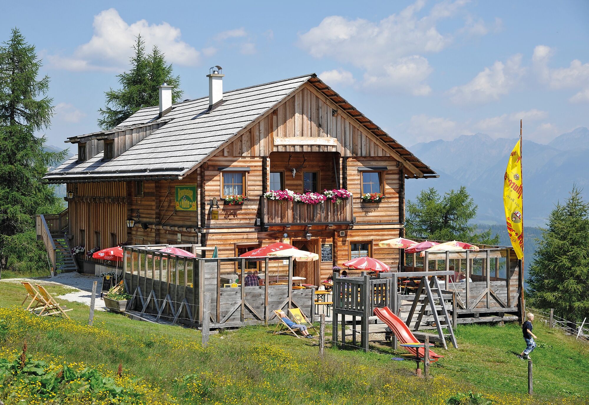
Forfriskningsstopp
Lovende
Flere turer i regionene