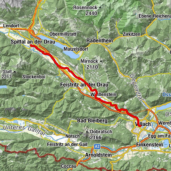
Ciclovia Alpe-Adria 4. cycle section: Spittal an d. Drau -Villach


- Kort beskrivelse
-
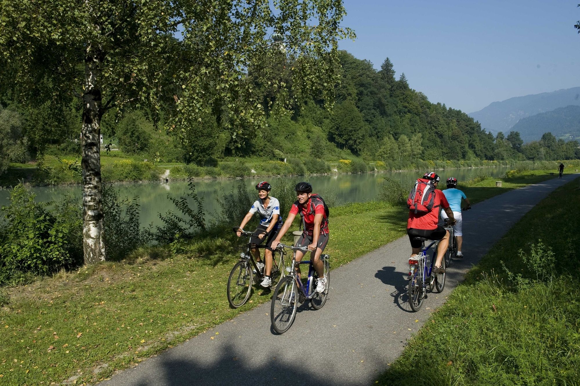
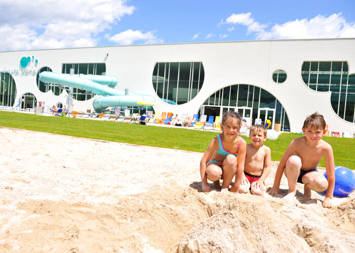
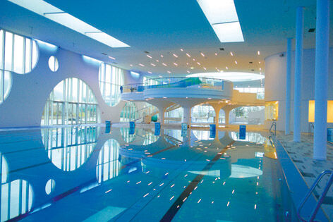
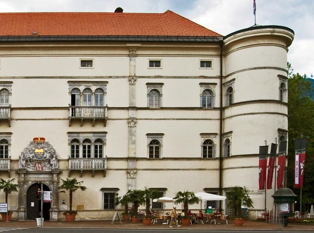
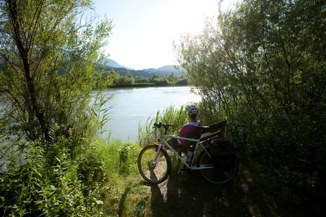
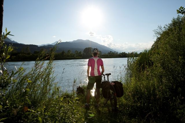
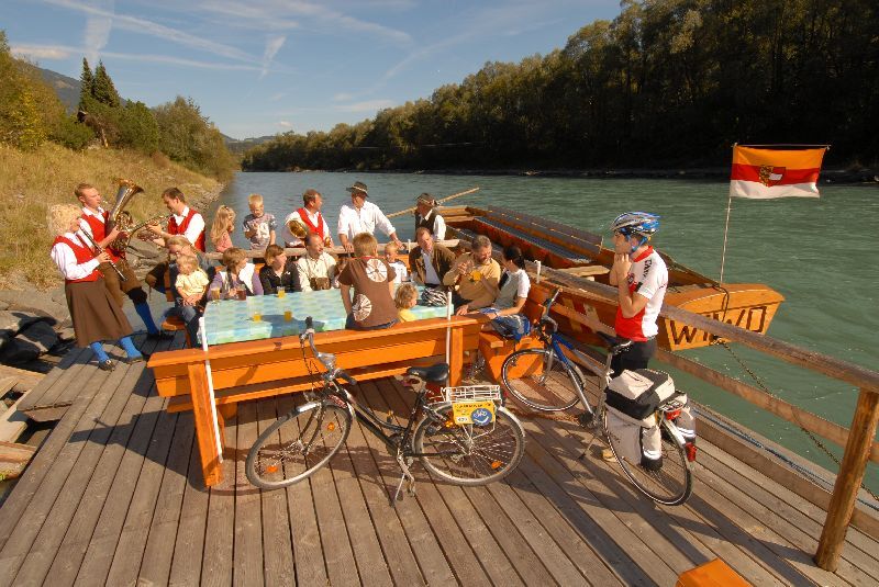
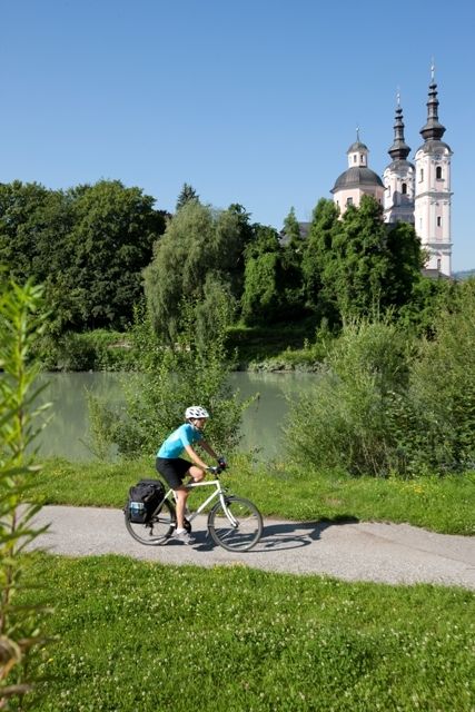
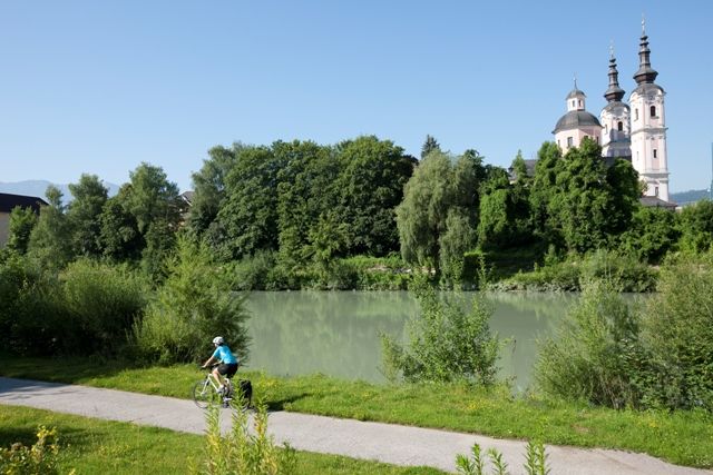
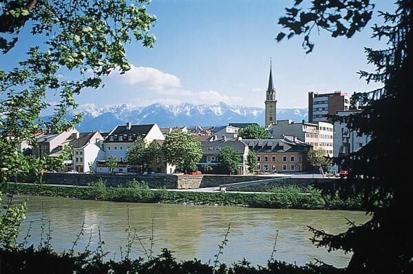
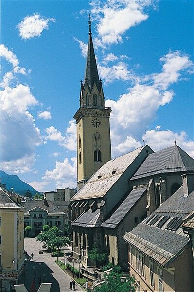
On this stage, you will ride around 40 kilometers. Lots of small highlights await history buffs and nature lovers, such as the excavations of an early Christian church outside Molzbichl in the lower Drautal valley, the "Carantana" museum and Villach’s most popular mountain, the Dobratsch, located in a nature park of the same name. Hot springs in Villach guarantee that even those with flagging spirits will quickly feel rejuvenated. In summer 2012, Carinthia’s new Therme Warmbad-Villach will be opened, Austria’s most modern spa & aquatic experience. From Spittal, the Alpe-Adria Bike Tour takes us along the Drau Bike Path, which is well developed and clearly marked. For most of this stage, our route keeps right on the banks of the river.
- Vanskelighet
-
lett
- Evaluering
-
- Rute
-
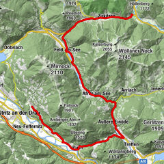
Spittal (560 m)0,7 kmTangern3,1 kmSankt Peter4,3 kmBuschenschank Egger4,4 kmMolzbichl6,1 kmMauthbrücken10,4 kmFerndorf13,2 kmLang15,5 kmPatendorf15,9 kmFeistritz an der Drau18,1 kmPobersach19,6 kmFeffernitz20,5 kmLansach22,2 kmKellerberg24,2 kmStadelbach26,3 kmPuch28,9 kmTöplitsch29,8 kmGummern30,1 kmVillach (501 m)38,9 km
- Beste sesong
-
jan.feb.marsaprilmaijunijuliaug.sep.okt.nov.des.
- Høyeste punkt
- 549 m
- Reisemål
-
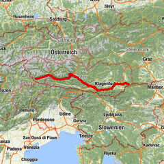
Villach
- Høydeprofil
-


- Forfatter
-
Turneen Ciclovia Alpe-Adria 4. cycle section: Spittal an d. Drau -Villach brukes av outdooractive.com forutsatt.