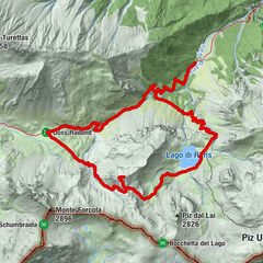
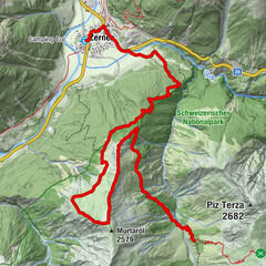
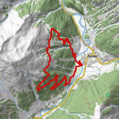
Nationalpark: Zernez – Munt Baselgia – Macunseen – Alp Zeznina – Lavin

© Engadin Samnaun Val Müstair - Michael Leibacher
© Engadin Samnaun Val Müstair - Niculin Meyer
© Martina Stadler
© Engadin Samnaun Val Müstair - Michael Leibacher
© Martina Stadler
© Engadin Samnaun Val Müstair - Michael Leibacher
© Martina Stadler
© Engadin Samnaun Val Müstair - Niculin Meyer
© Engadin Samnaun Val Müstair - Tobias Cueni
© Engadin Samnaun Val Müstair - Tobias Cueni


- Kort beskrivelse
-
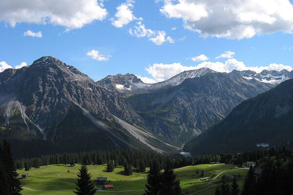
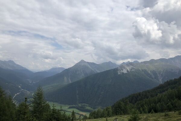
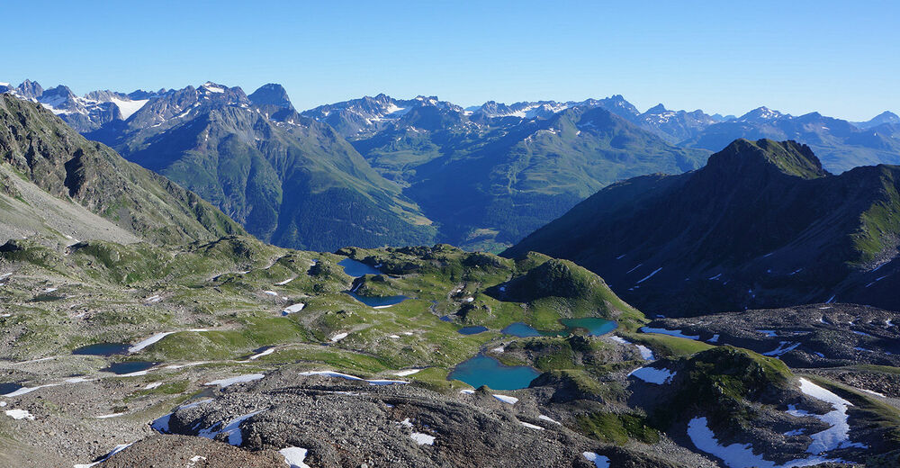
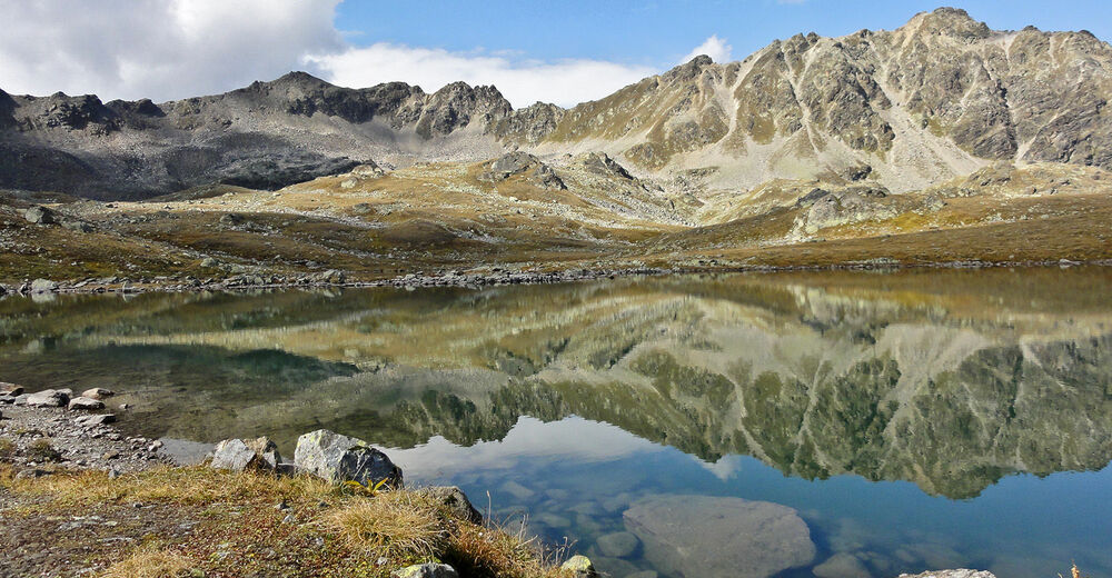
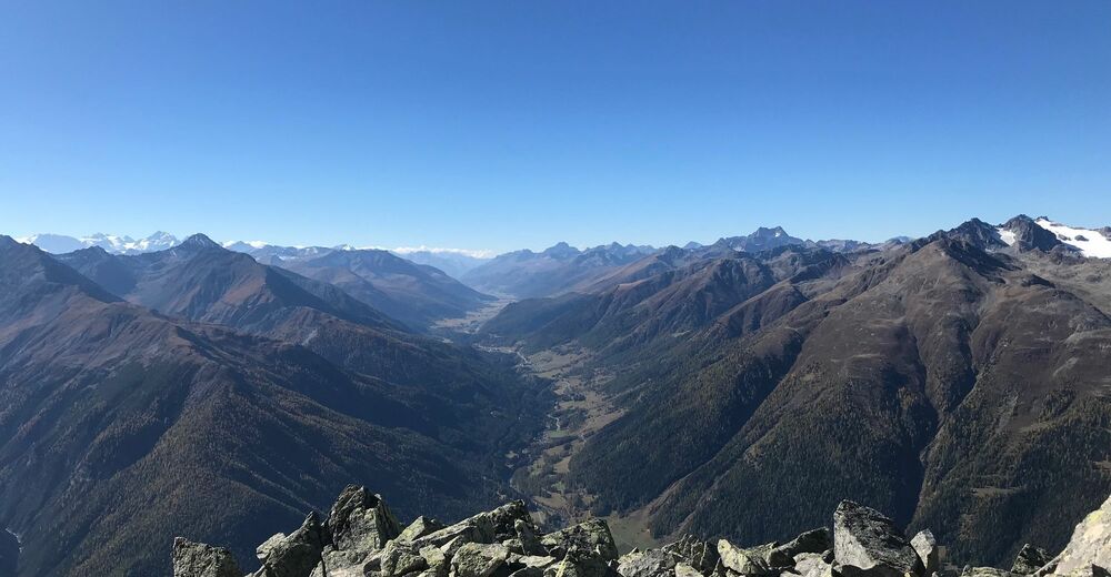
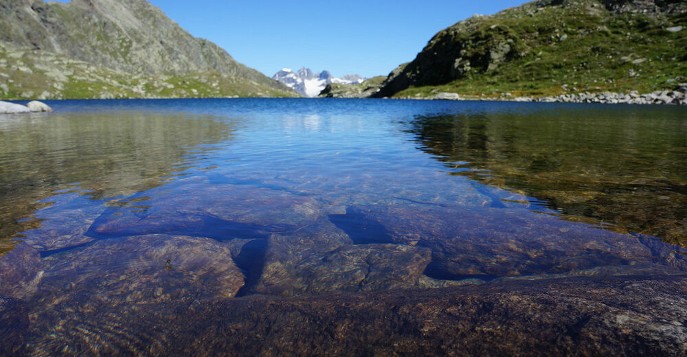
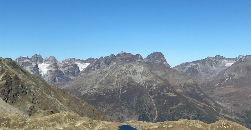
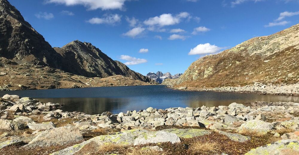
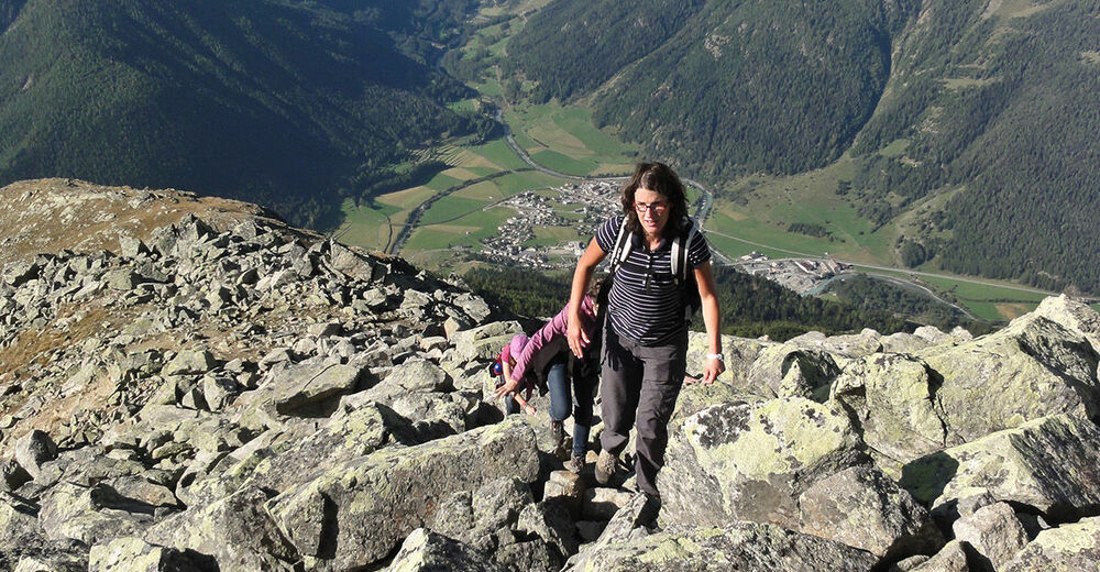
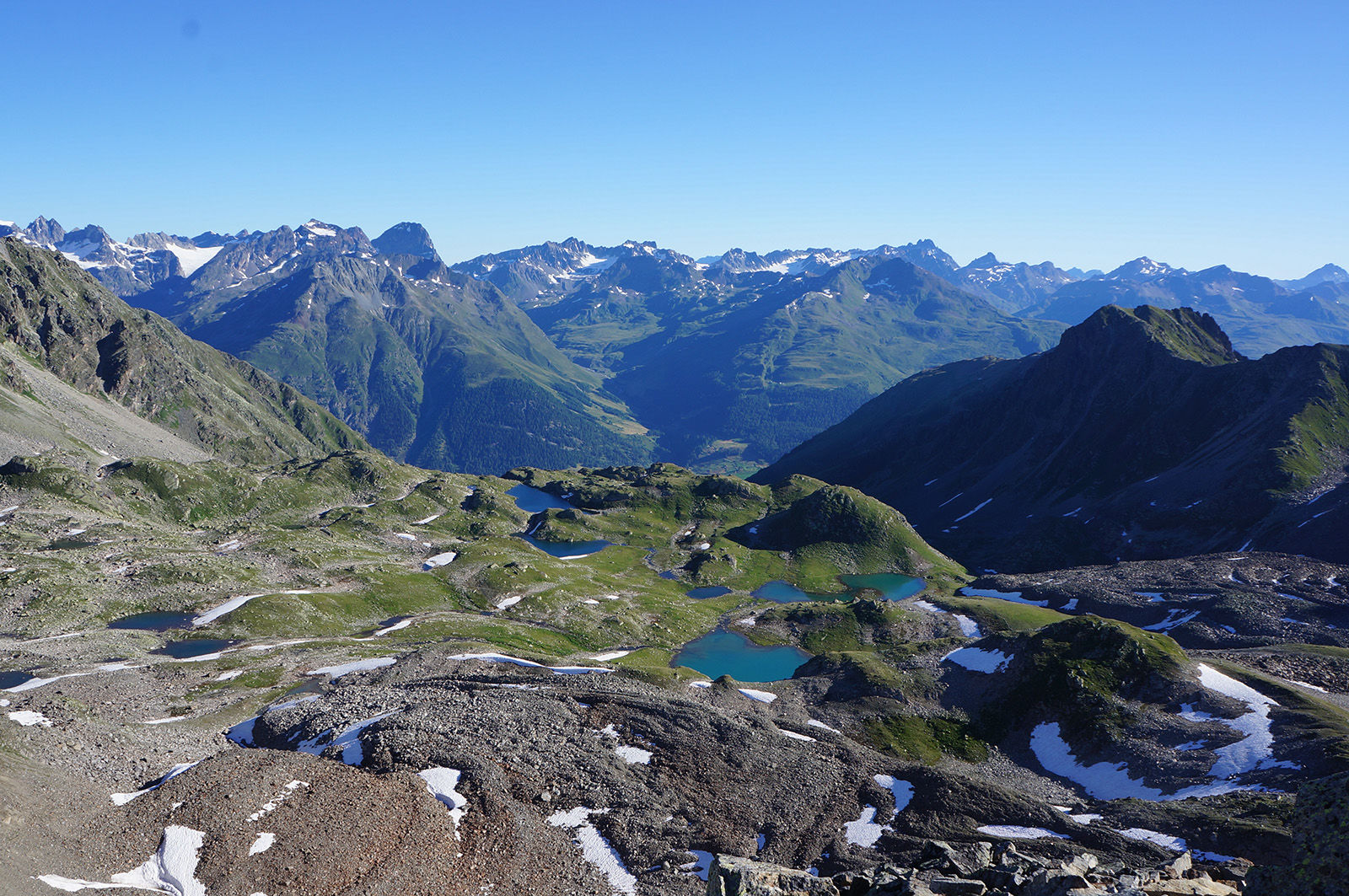
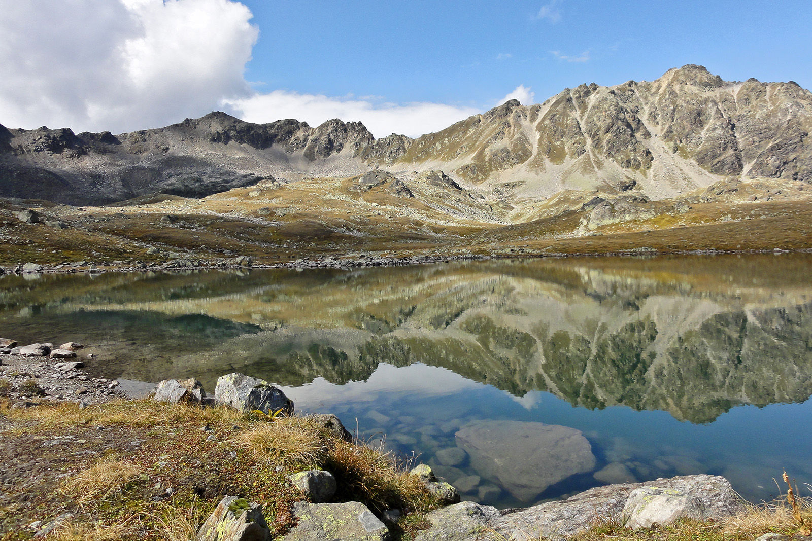
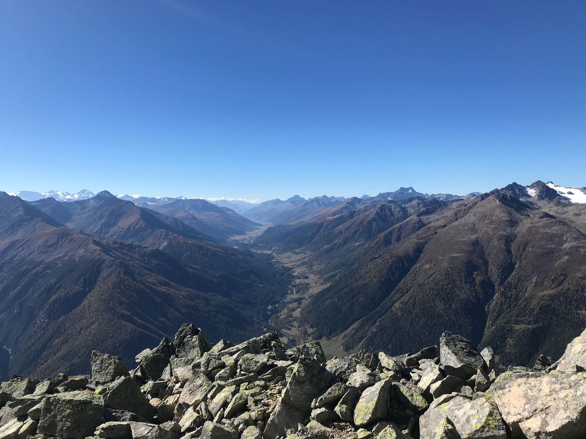
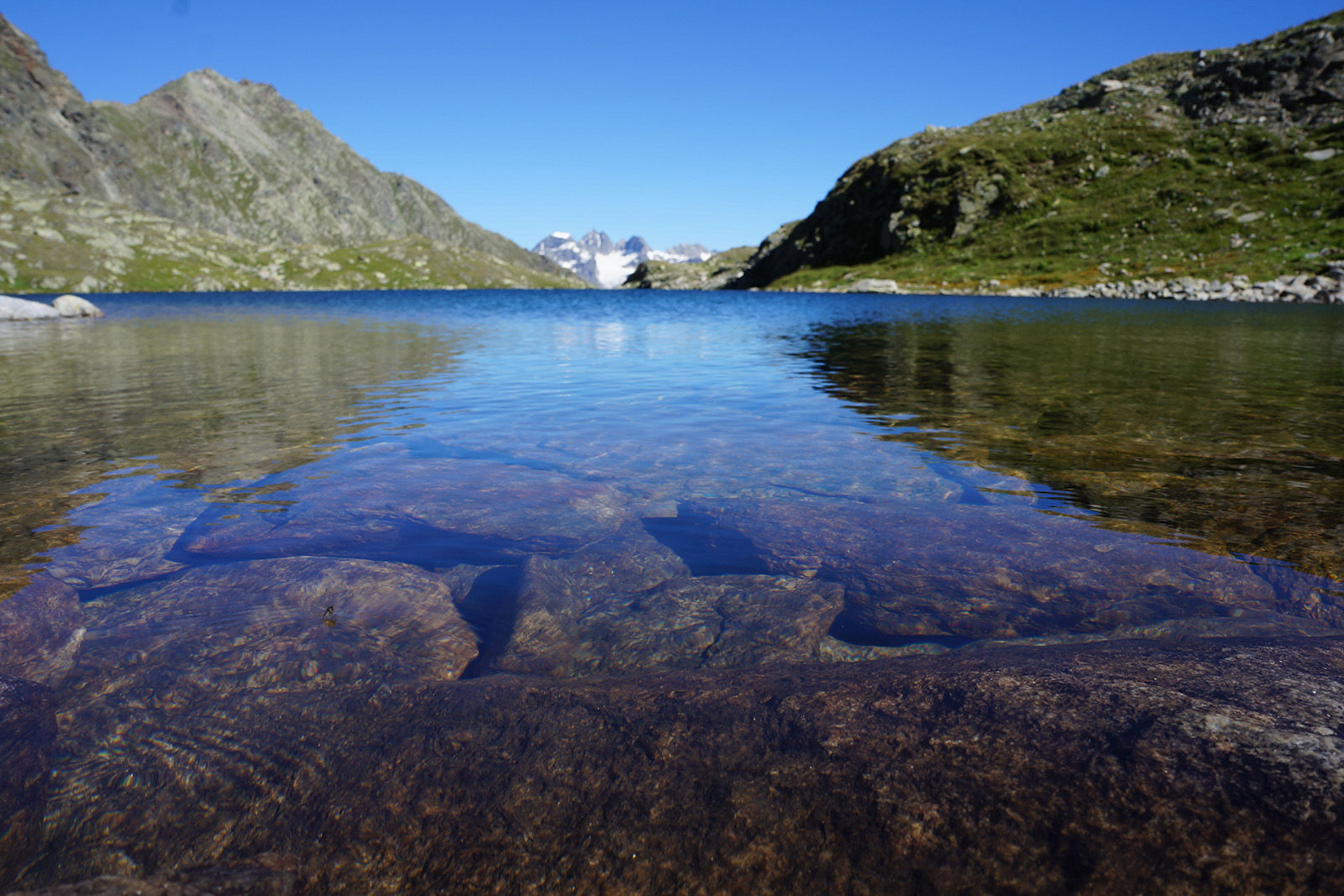
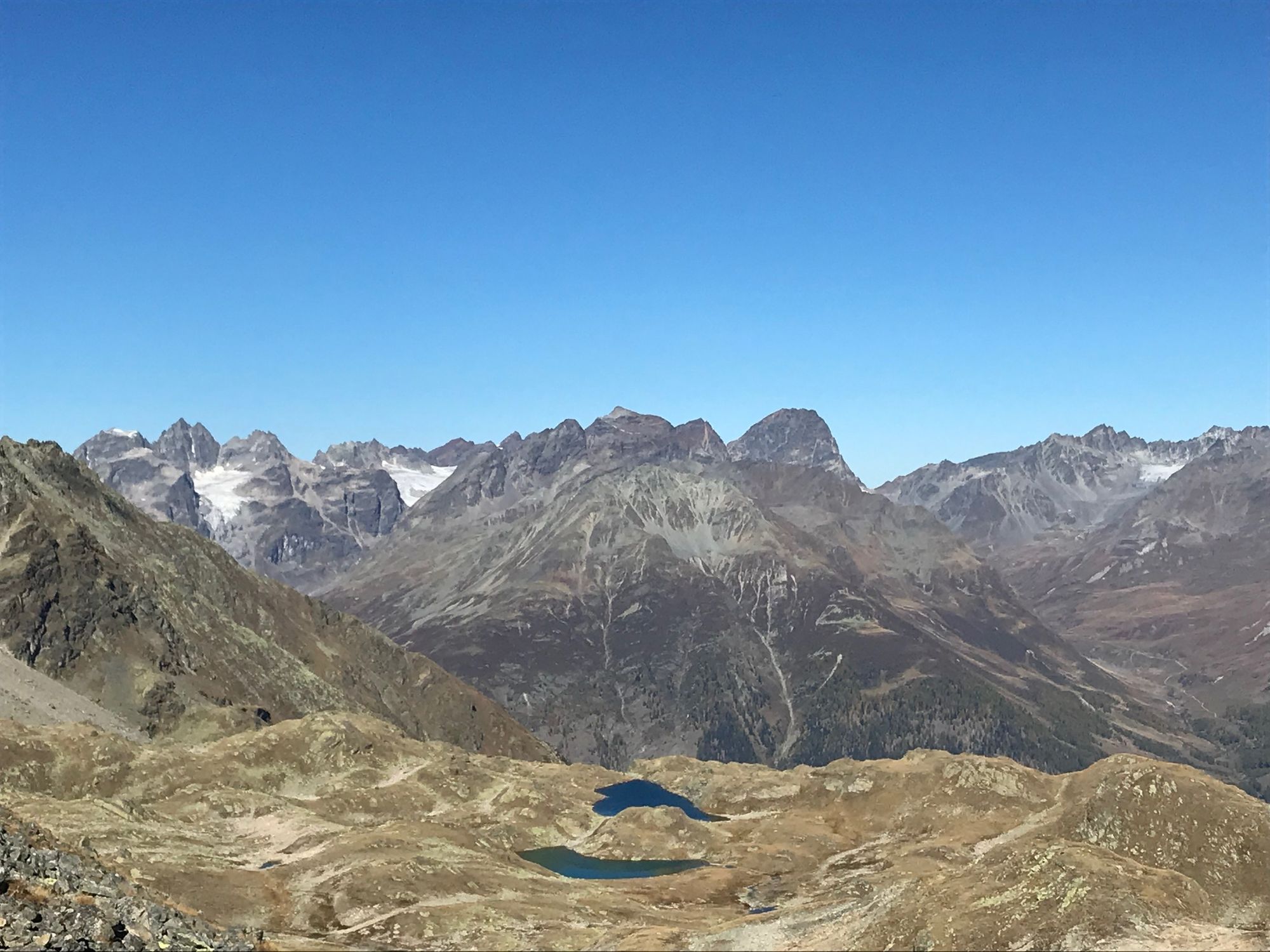
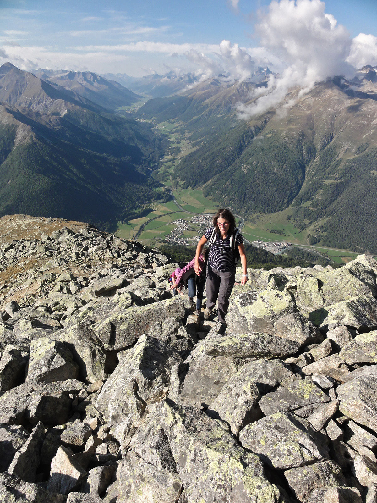
The hike over Macun is a long and challenging high altitude hike, which is only suitable for athletic, sure-footed trekkers that are not afraid of heights. Anyone who takes on the challenge of this hike is rewarded with an exceptional landscape in the youngest part of the Swiss National Park.
- Vanskelighet
-
vanskelig
- Evaluering
-
- Rute
-
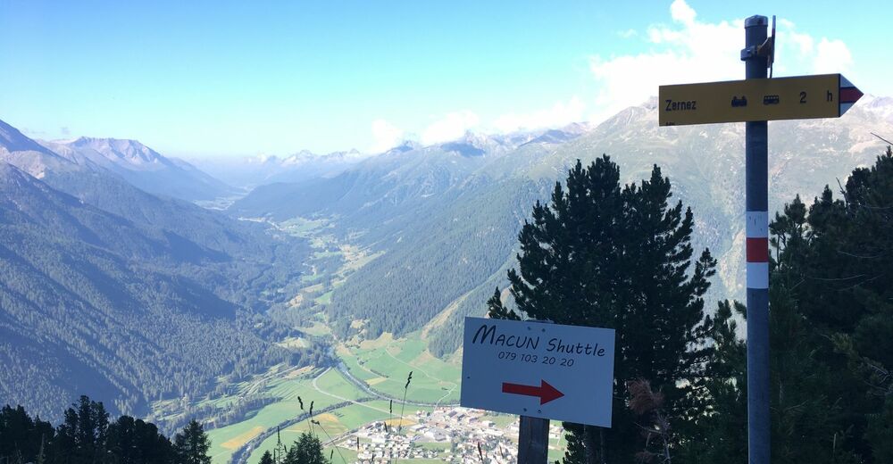
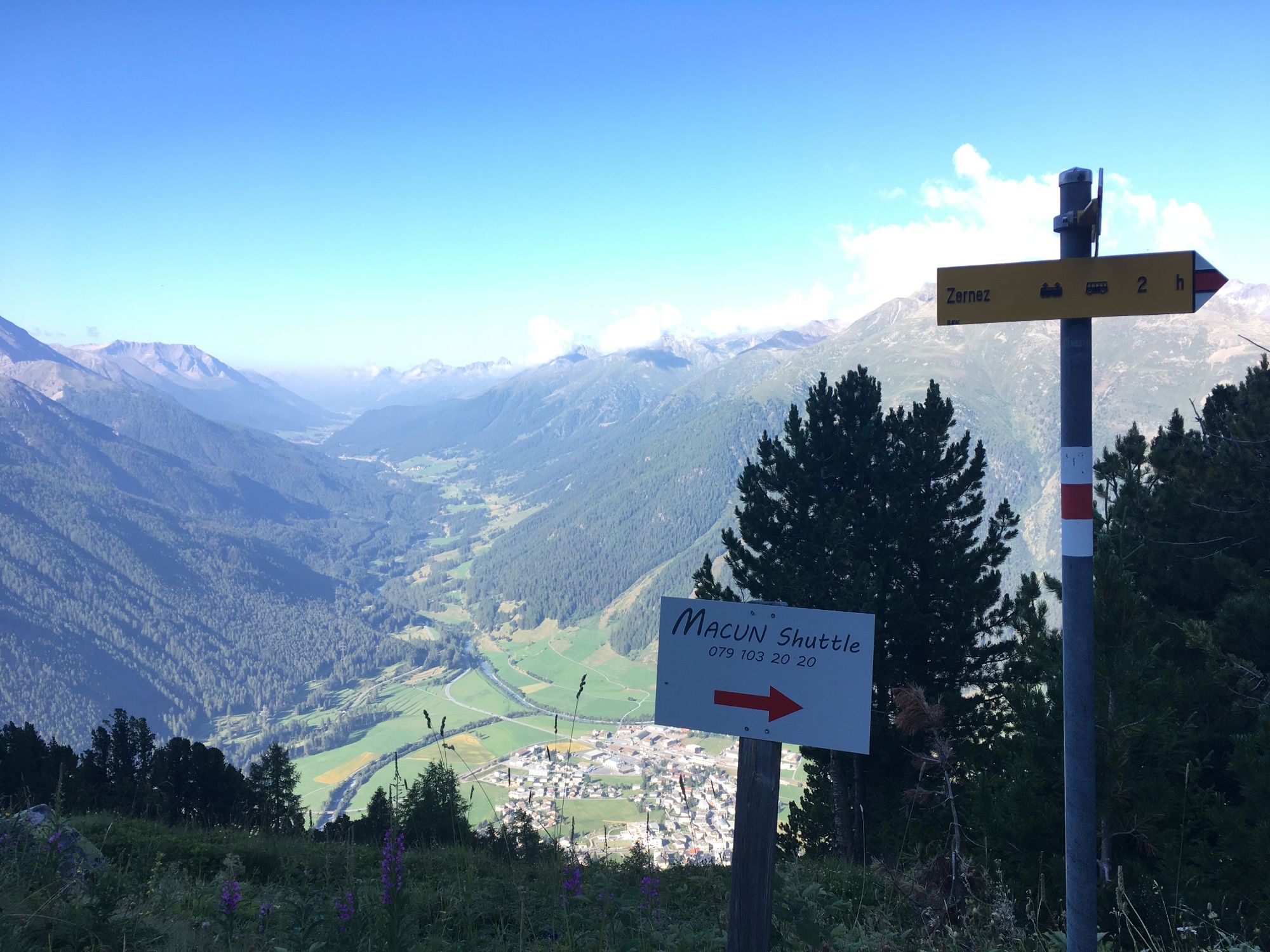
Zernez (1.471 m)0,0 kmSan Antonius0,1 kmZernez (1.474 m)0,4 kmReformierte Kirche Zernez0,6 kmMunt Baselgia (2.682 m)9,2 kmSpi da Baselgia (2.945 m)9,9 kmAlp Zeznina Dadaint17,8 kmLavin (1.412 m)22,5 kmLavin (1.432 m)22,9 km
- Beste sesong
-
jan.feb.marsaprilmaijunijuliaug.sep.okt.nov.des.
- Høyeste punkt
- 2.928 m
- Reisemål
-
Lavin, train station
- Høydeprofil
-
 © outdooractive.com


- Forfatter
-
Turneen Nationalpark: Zernez – Munt Baselgia – Macunseen – Alp Zeznina – Lavin brukes av outdooractive.com forutsatt.
GPS Downloads


Generell info
Flora
Lovende
Flere turer i regionene
-
Engadin Scuol Zernez
734
-
Zernez
138