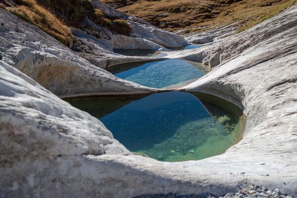
© Arosa Lenzerheide - Arosa Tourismus

© Unbekannt

© Arosa Lenzerheide - Arosa Tourismus

© Arosa Lenzerheide - Nicole Gysi

- Kort beskrivelse
-
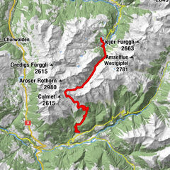
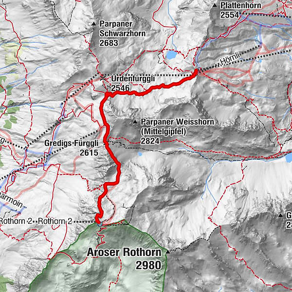
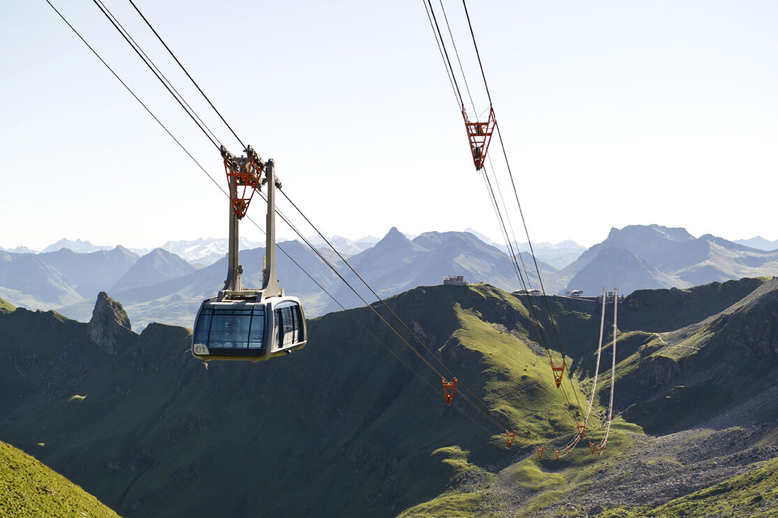
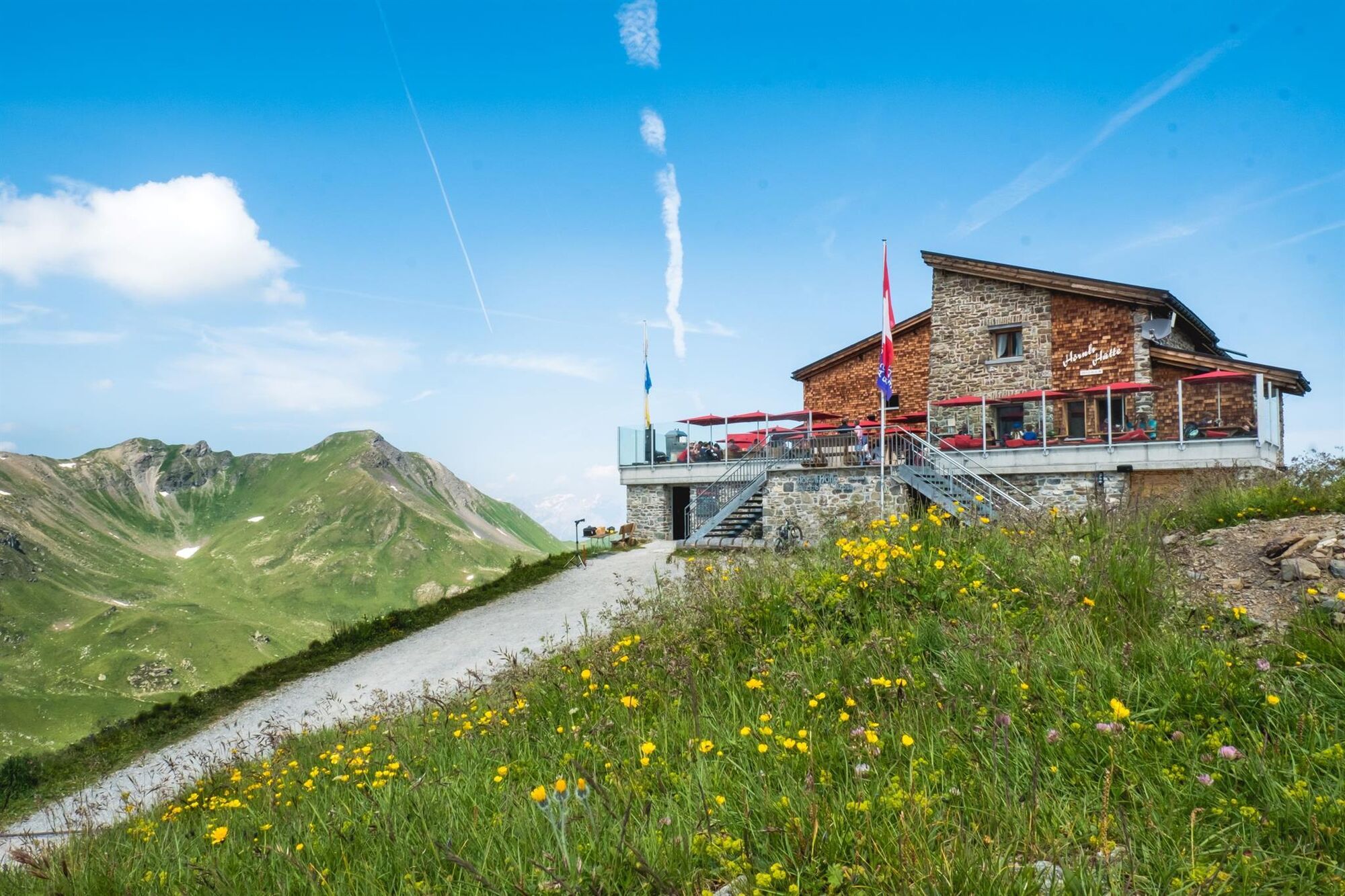
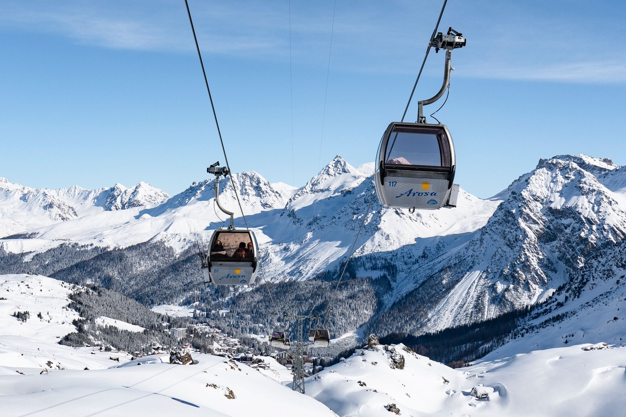
From Arosa to Lenzerheide, from peak to peak: on this tour you pass the Urden valley, which forms the border between Arosa and Lenzerheide, on foot or glide up to the Urdenfürggli by train.
- Vanskelighet
-
middels
- Evaluering
-
- Rute
-
Gredigs Fürggli (2.615 m)2,9 kmParpaner Rothorn (2.861 m)4,9 kmRestaurant am Parpaner Rothorn4,9 kmRothorn (2.857 m)5,0 km
- Beste sesong
-
jan.feb.marsaprilmaijunijuliaug.sep.okt.nov.des.
- Høyeste punkt
- 2.851 m
- Reisemål
-
Parpaner Rothorn (Lenzerheide)
- Høydeprofil
-
 © outdooractive.com

- Forfatter
-
Turneen Hörnli Mountain Station - Urdental - Parpaner Rothorn brukes av outdooractive.com forutsatt.
GPS Downloads


Generell info
Forfriskningsstopp
Lovende
Flere turer i regionene