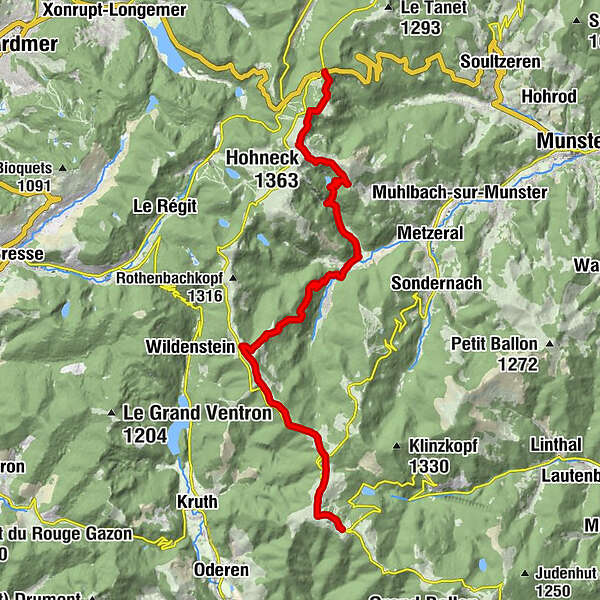
Crossing the Vosges Mountains - Stage 15 - Col de la Schlucht - Le Markstein


© Massif des Vosges - Office de Tourisme de la Vallée de Munster - Quentin GACHON

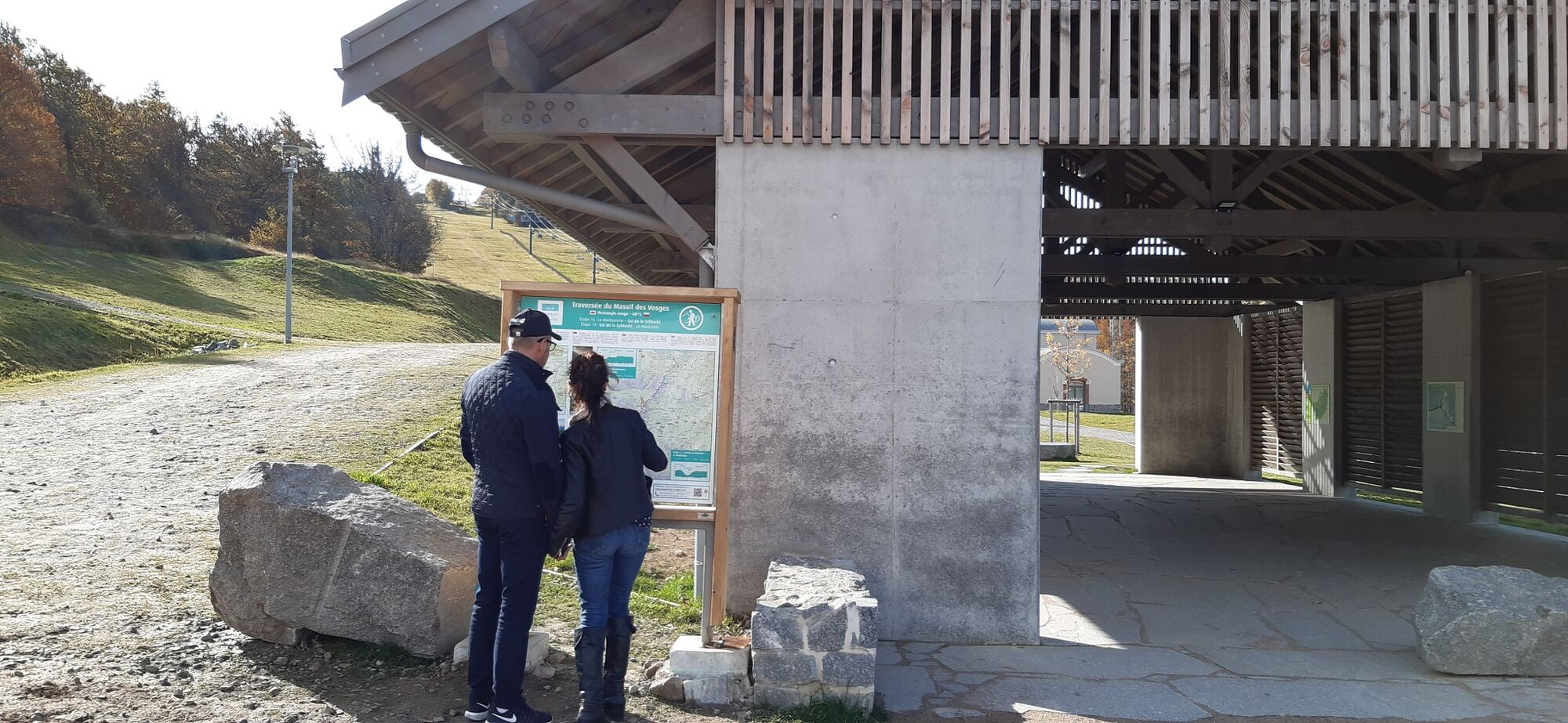
© Massif des Vosges - © INFRA

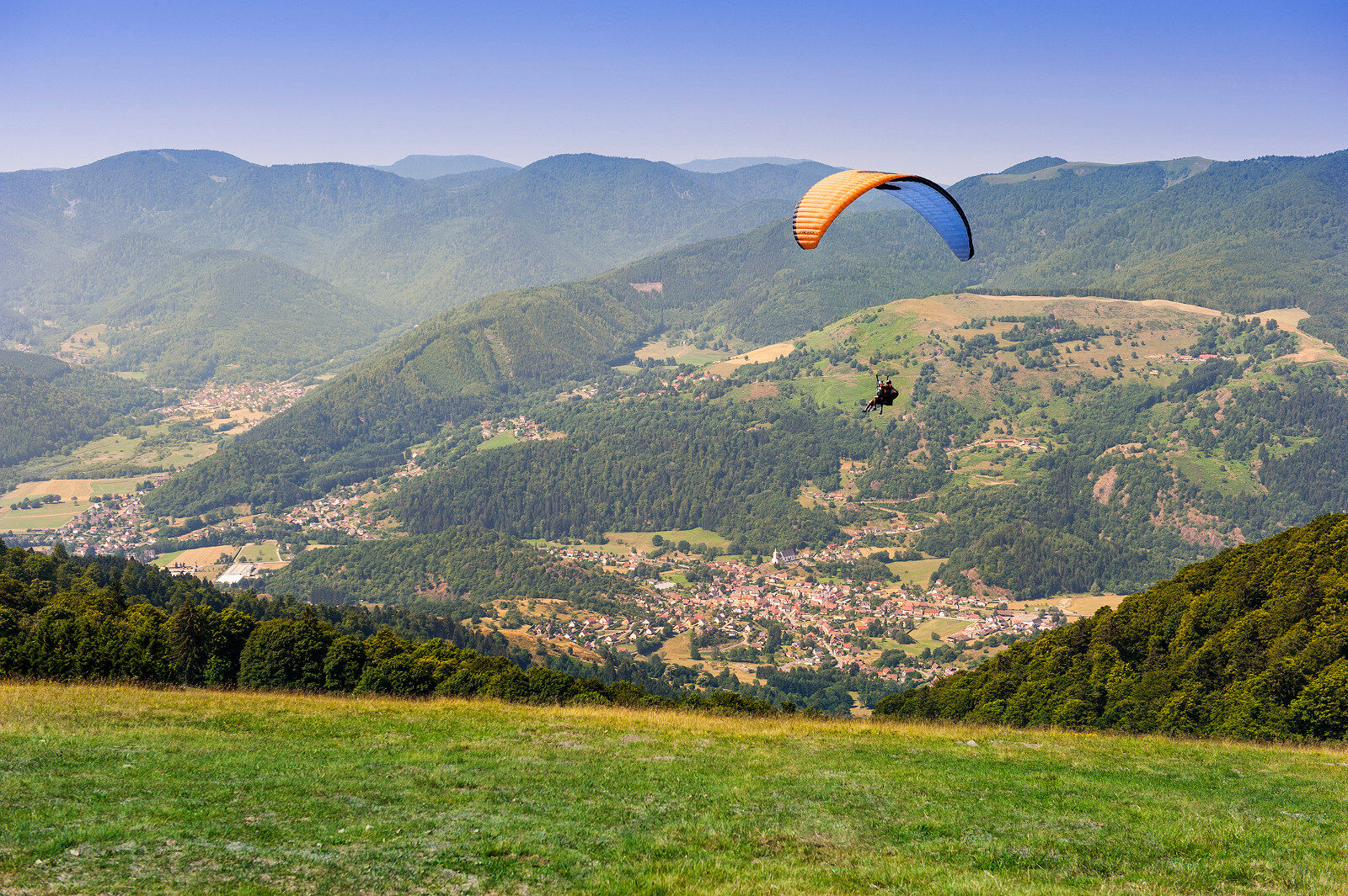
© Massif des Vosges - Guillaume BERNARD

© Unbekannt

© Massif des Vosges - -


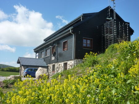
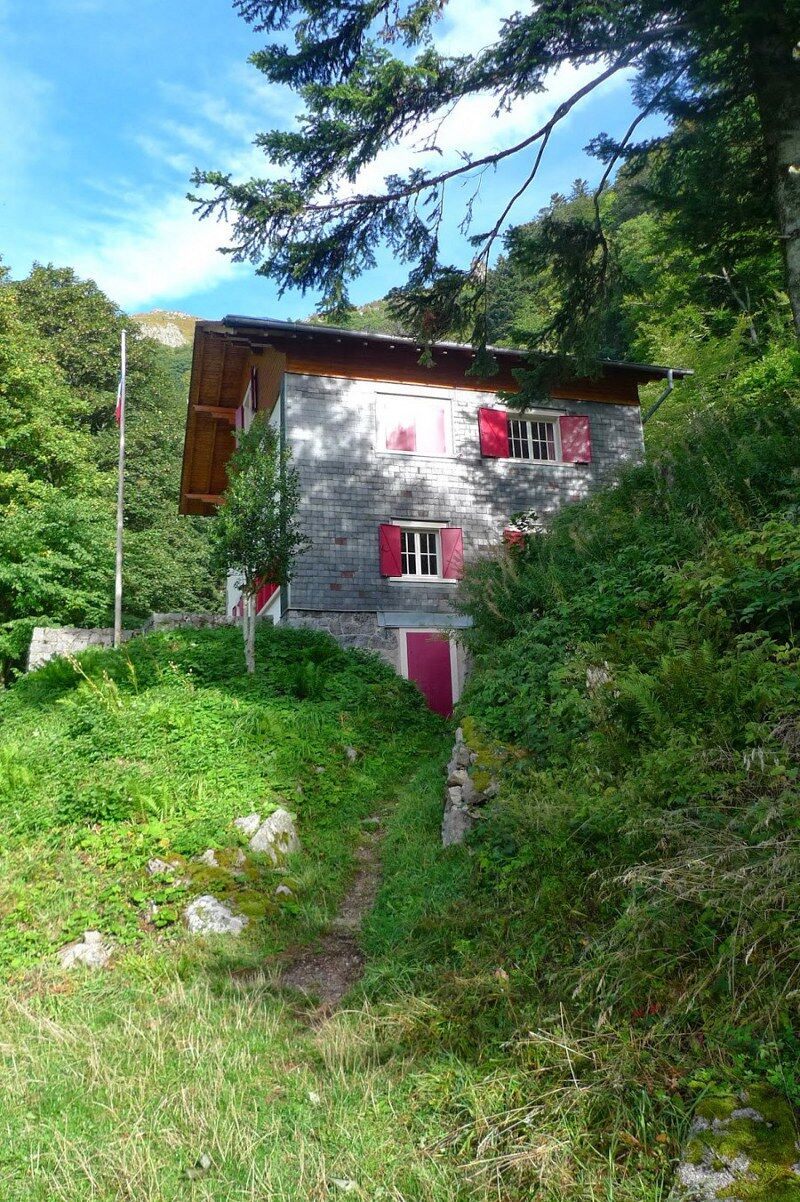
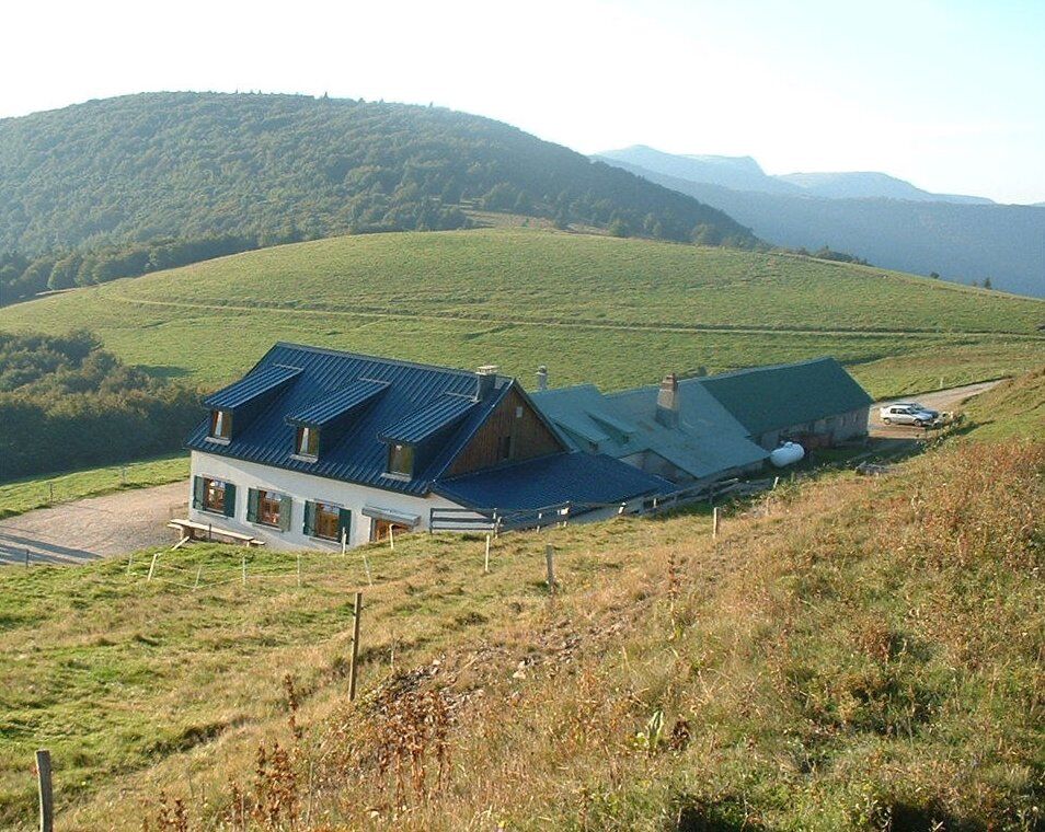
© Massif des Vosges - Refuge du Klein Hahnenbrunnen

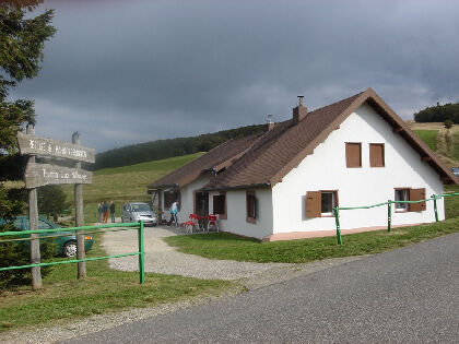
© Massif des Vosges - Ferme-auberge du Hahnenbrunnen


- Kort beskrivelse
-
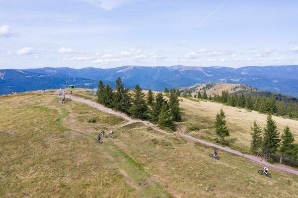
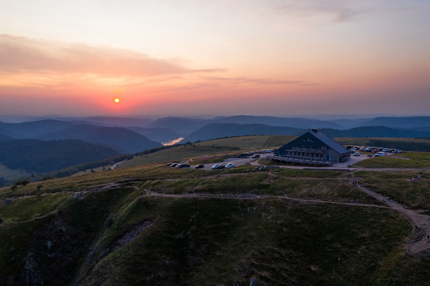
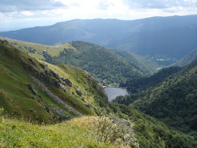
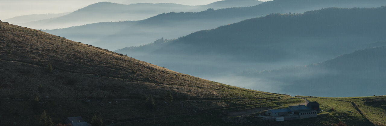
The trail alternates sections in the valley and on the ridge line. It crosses the Hohneck and runs along Schiessrothried Lake before heading down to the village of Mittlach and back up to the Crest Road on the way to Le Markstein. A summer and winter resort, Le Markstein has plenty of options for restaurants and lodging and well as numerous activities on offer.
- Vanskelighet
-
middels
- Evaluering
-
- Rute
-
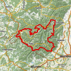
SchluchtHôtel - Restaurant du Chalet0,0 kmChapelle Notre-Dame-des-Chaumes0,1 kmHohneck (1.363 m)3,9 kmLe Sommet du Hohneck3,9 kmSibbaldia_Quelle4,3 kmSchiessroth5,5 kmFerme Auberge Schiessroth (1.126 m)5,8 kmCascade de la Wormsa8,7 kmWormsawasen9,2 kmBurg10,1 kmHôtel Restaurant Bar Valneige11,6 kmMittlach11,7 kmSchmelz11,8 kmSource du Weidenbach-Runz18,0 kmSchweisel (1.271 m)19,2 kmHundskopf (1.237 m)21,0 kmHolzrucken21,3 kmFontaine22,7 kmRefuge du Hahnenbrunnen22,7 kmHahnenbrunnen23,7 kmMarkstein26,9 km
- Beste sesong
-
jan.feb.marsaprilmaijunijuliaug.sep.okt.nov.des.
- Høyeste punkt
- 1.344 m
- Reisemål
-
Markstein
- Høydeprofil
-
 © outdooractive.com
- Forfatter
-
Turneen Crossing the Vosges Mountains - Stage 15 - Col de la Schlucht - Le Markstein brukes av outdooractive.com forutsatt.
GPS Downloads


Generell info
Forfriskningsstopp
Helbredende klima
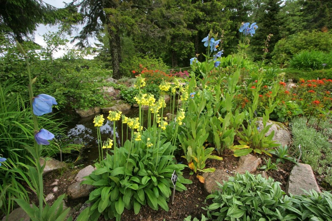
Flora
Fauna
Lovende
Flere turer i regionene
-
Haut-Rhin
1426
-
Vallée de Munster
978