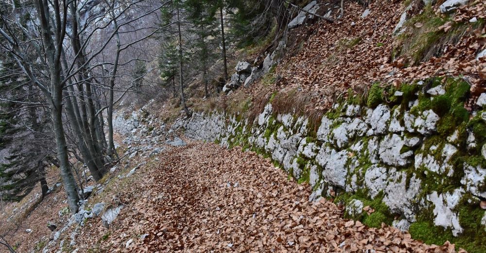
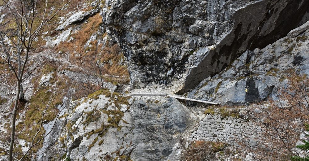
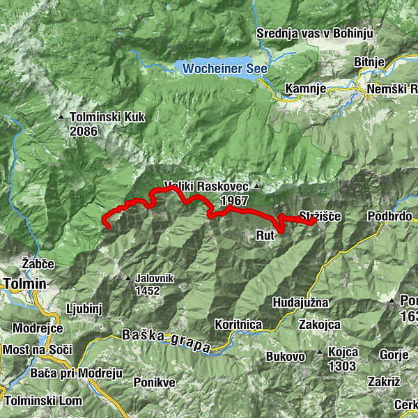
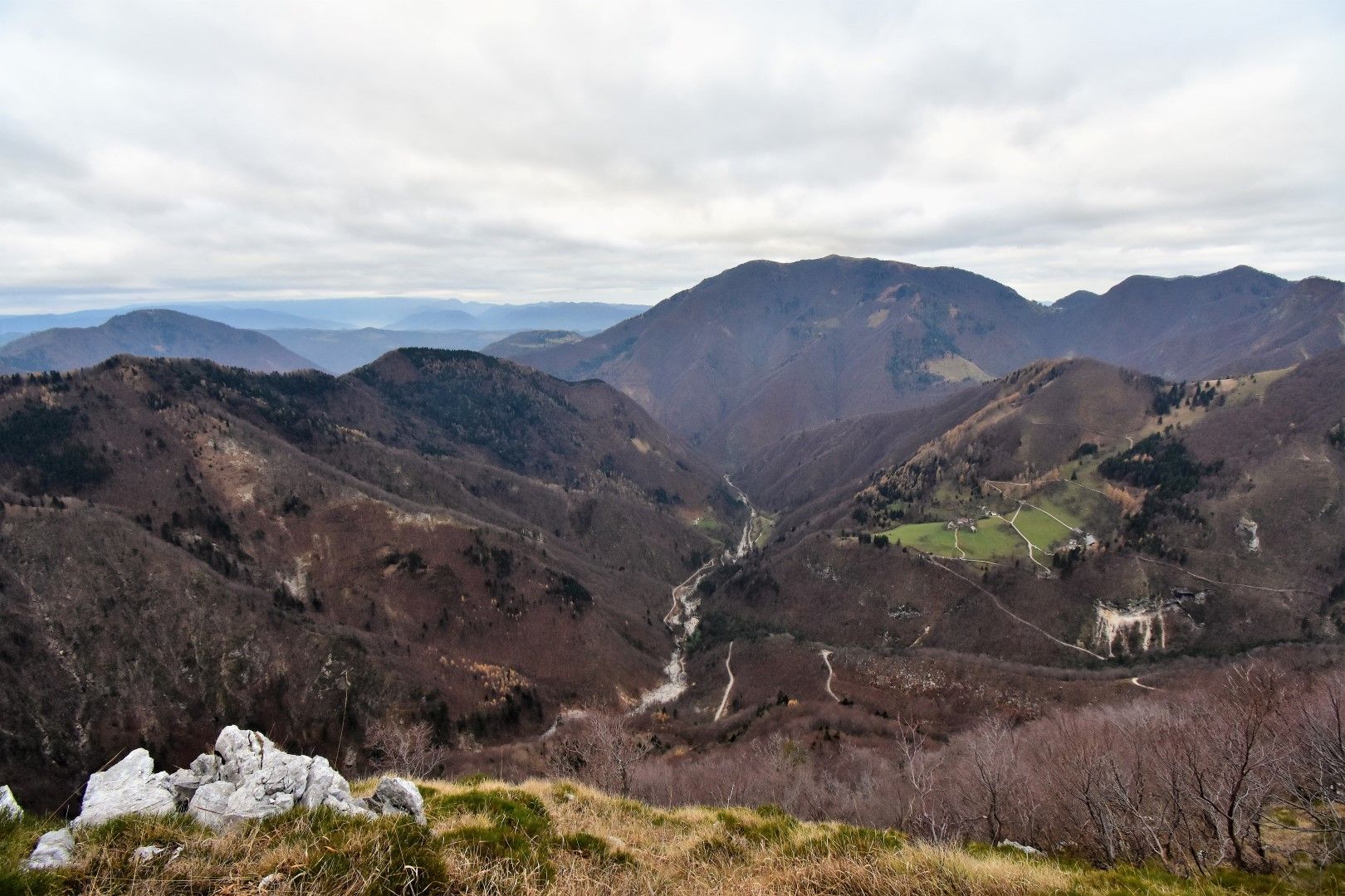
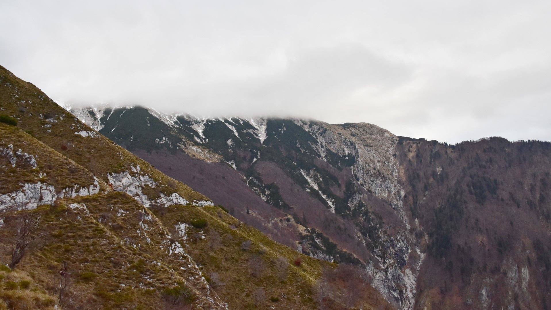
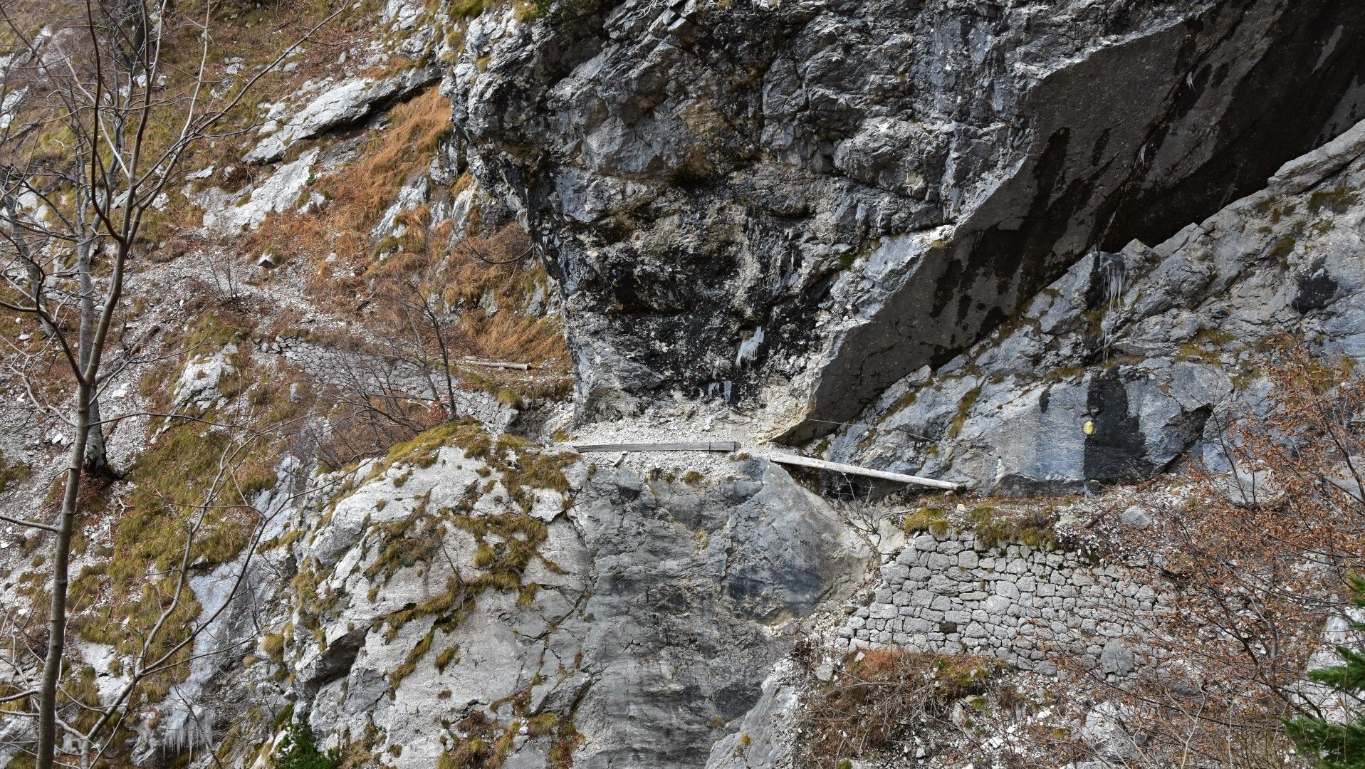
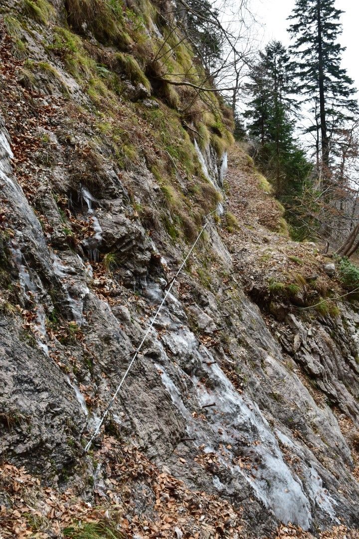
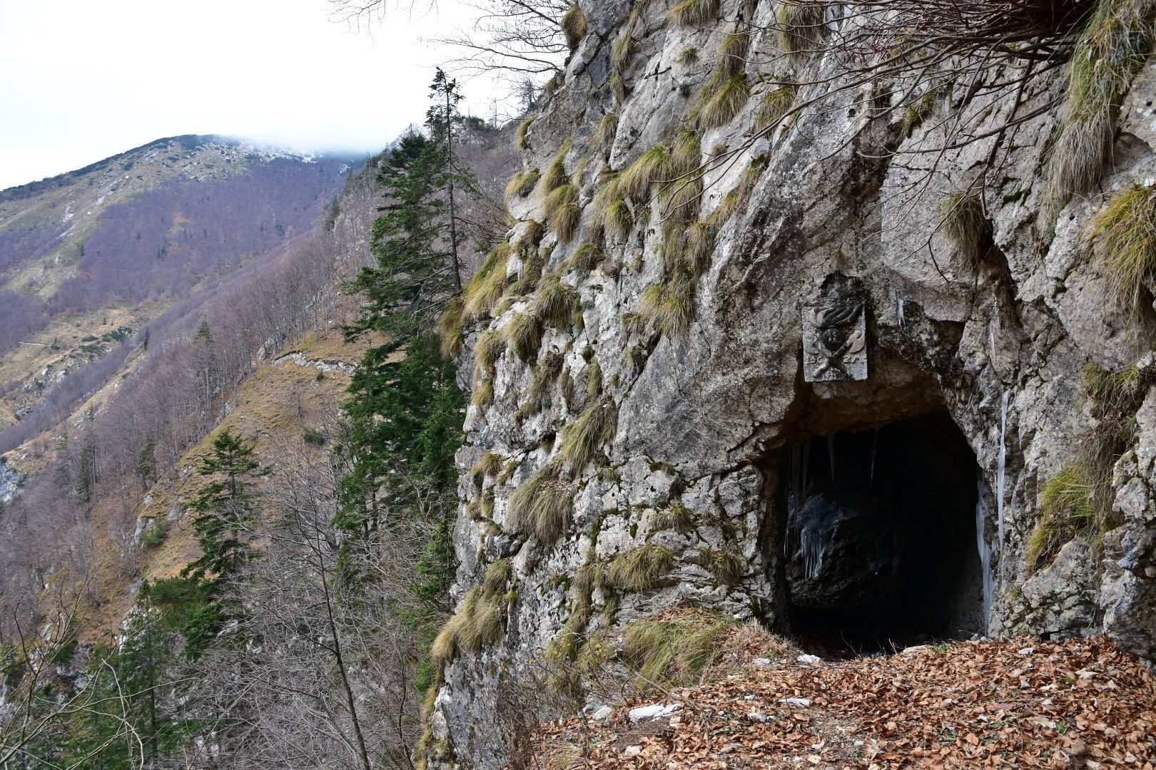
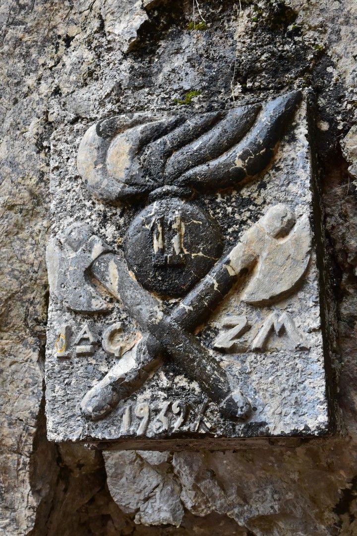
Mule trail 1932, old military trail beneath the peaks of the Tolmin Mountain chain


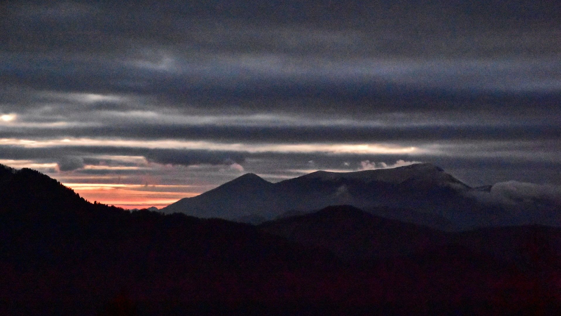
© Turizem Dolina Soce - Janko Humar
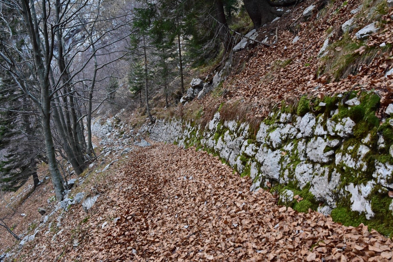
© Turizem Dolina Soce - Janko Humar
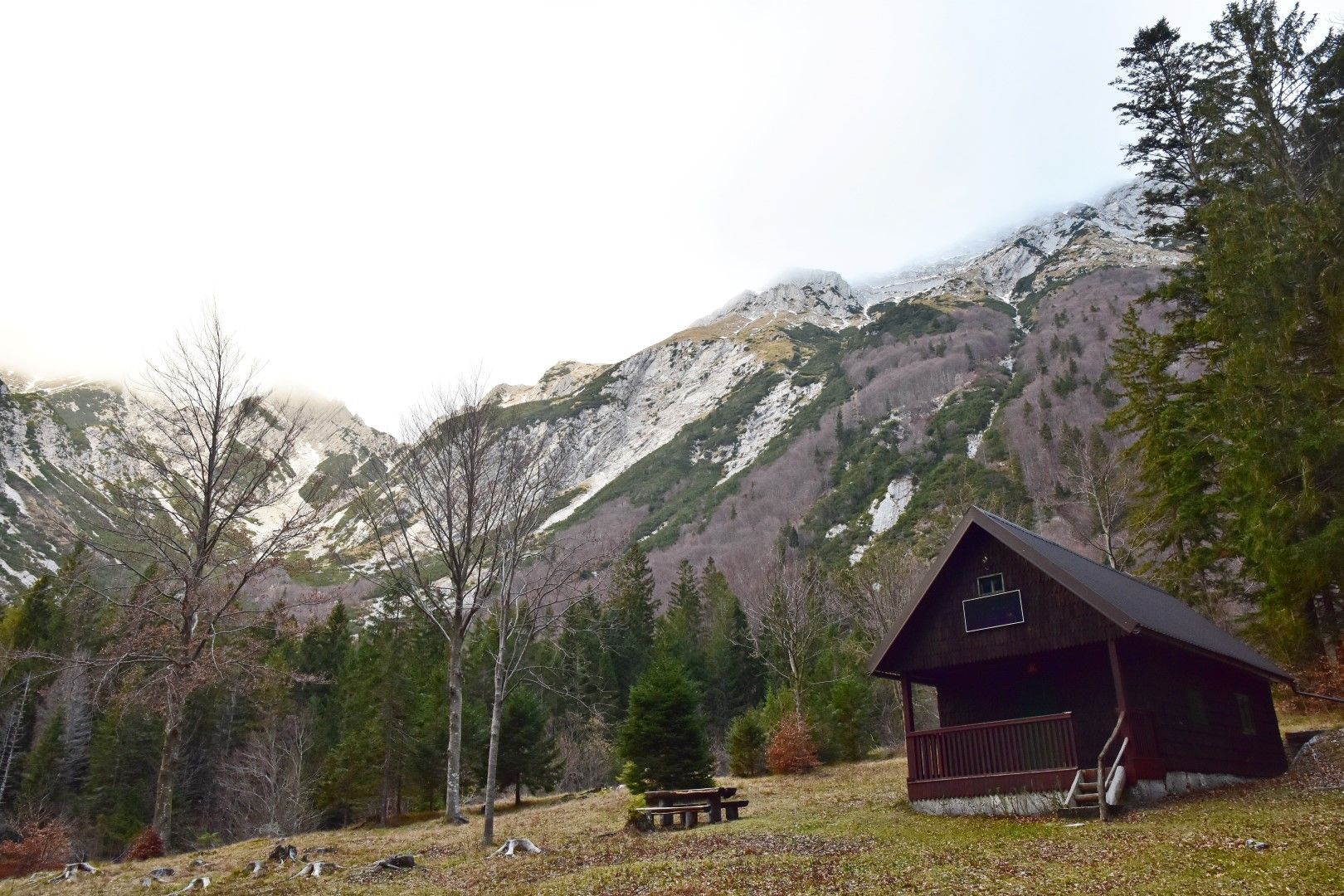
© Turizem Dolina Soce - Janko Humar
© Turizem Dolina Soce - Janko Humar
© Turizem Dolina Soce - Janko Humar
© Turizem Dolina Soce - Janko Humar
© Turizem Dolina Soce - Janko Humar
© Turizem Dolina Soce - Janko Humar
© Turizem Dolina Soce - Janko Humar
© Turizem Dolina Soce - Janko Humar

- Kort beskrivelse
-
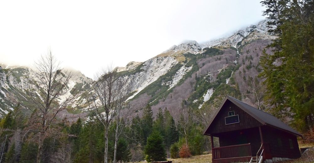
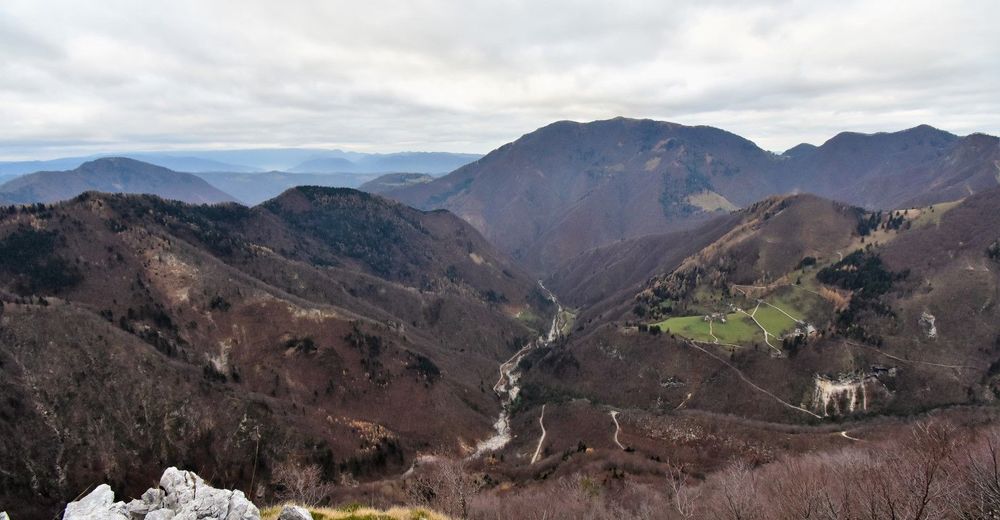
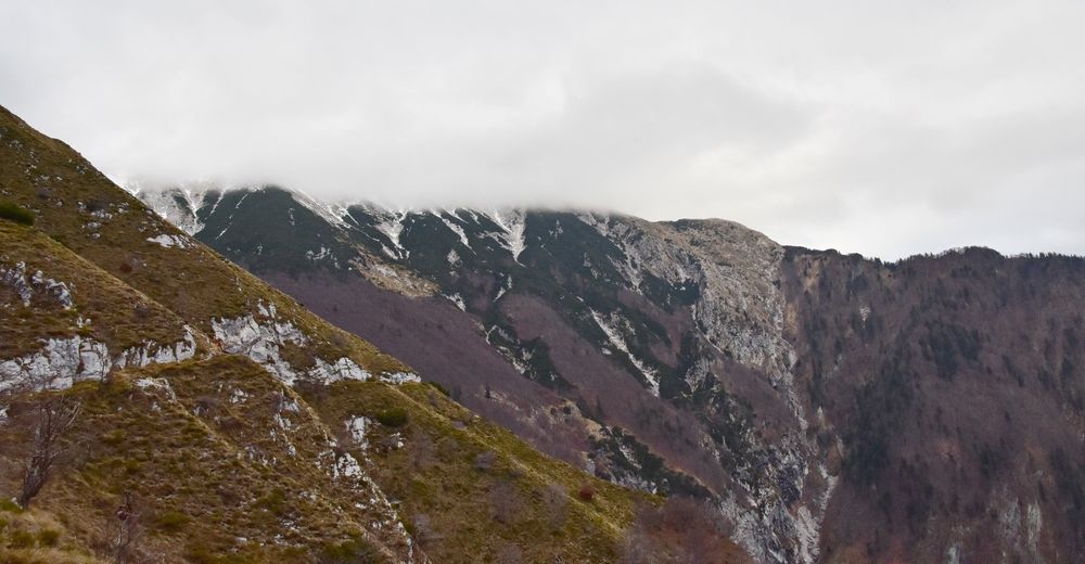
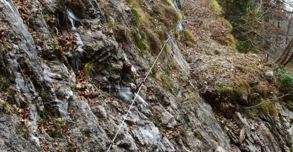
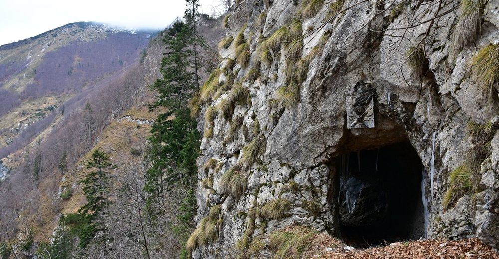
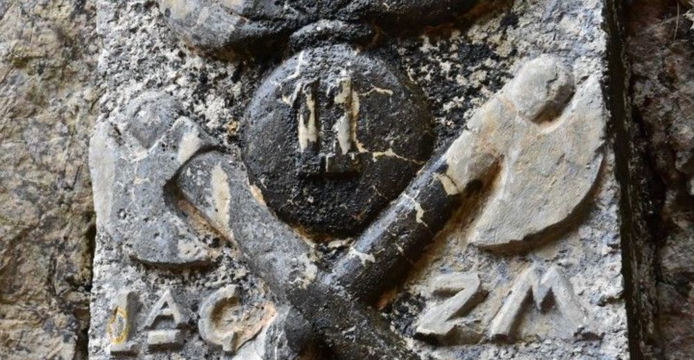
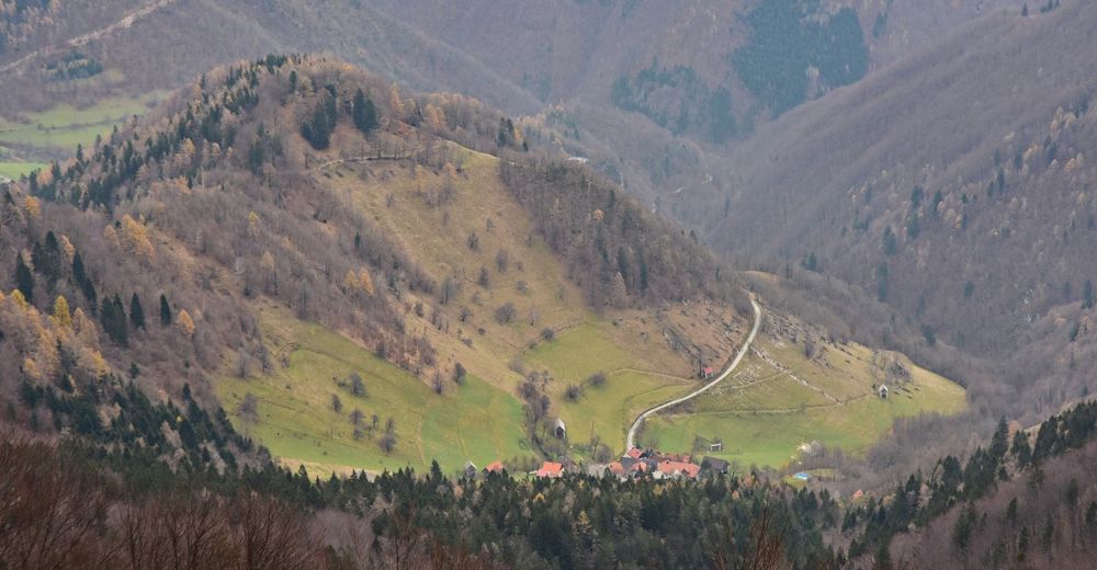
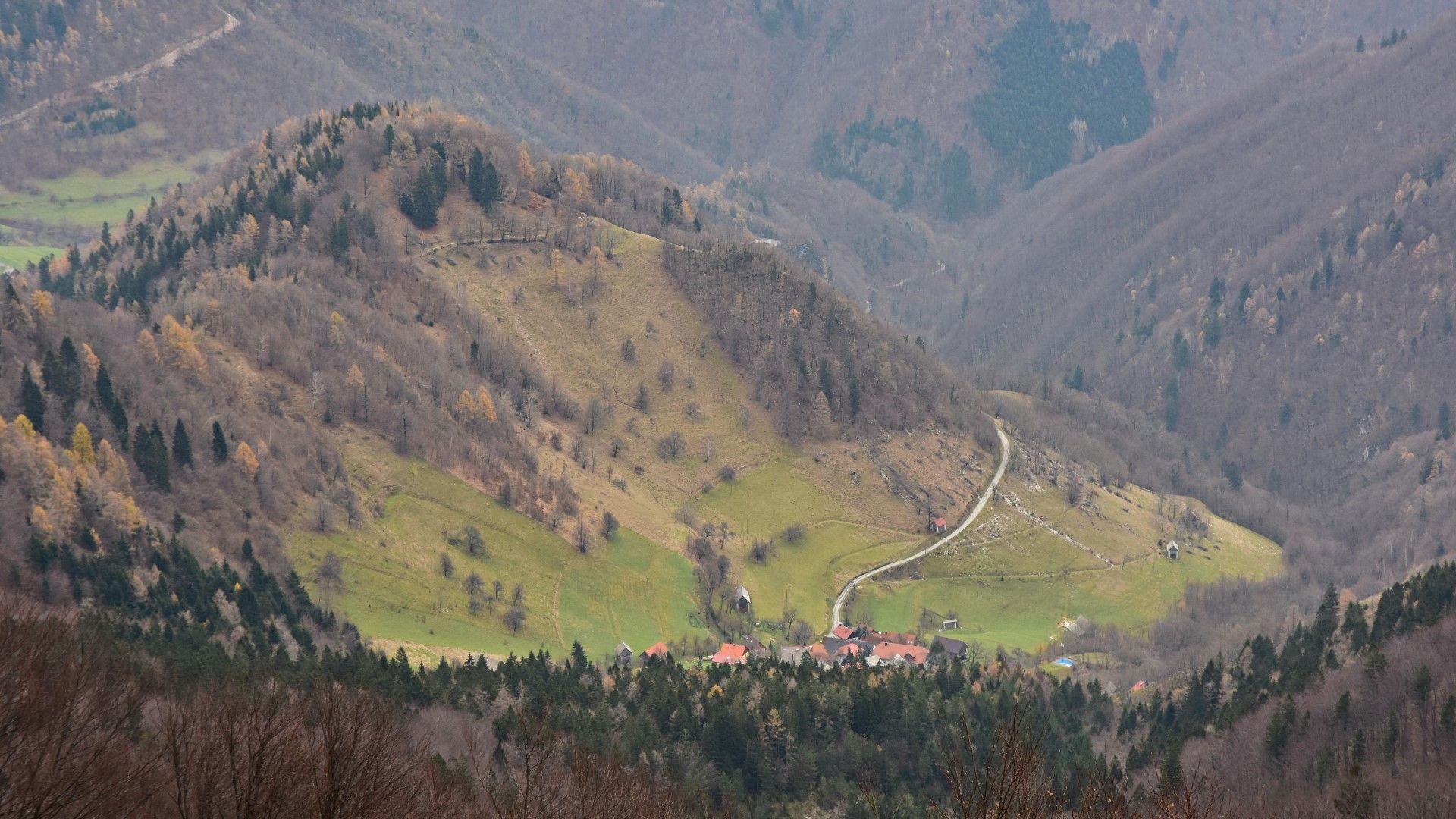
Old military mule trail – an elegant connecting trail from the Razor Mountain pasture to the village of Rut and beyond. This mule trail is also an integral part of the E7 European Footpath.
- Vanskelighet
-
middels
- Evaluering
-
- Rute
-
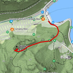
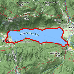
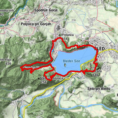
Planina Kuk0,4 kmPlanina v Prodih6,5 kmStržišče17,7 km
- Beste sesong
-
jan.feb.marsaprilmaijunijuliaug.sep.okt.nov.des.
- Høyeste punkt
- 1.337 m
- Reisemål
-
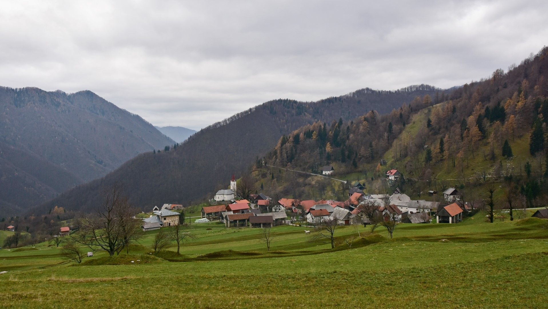
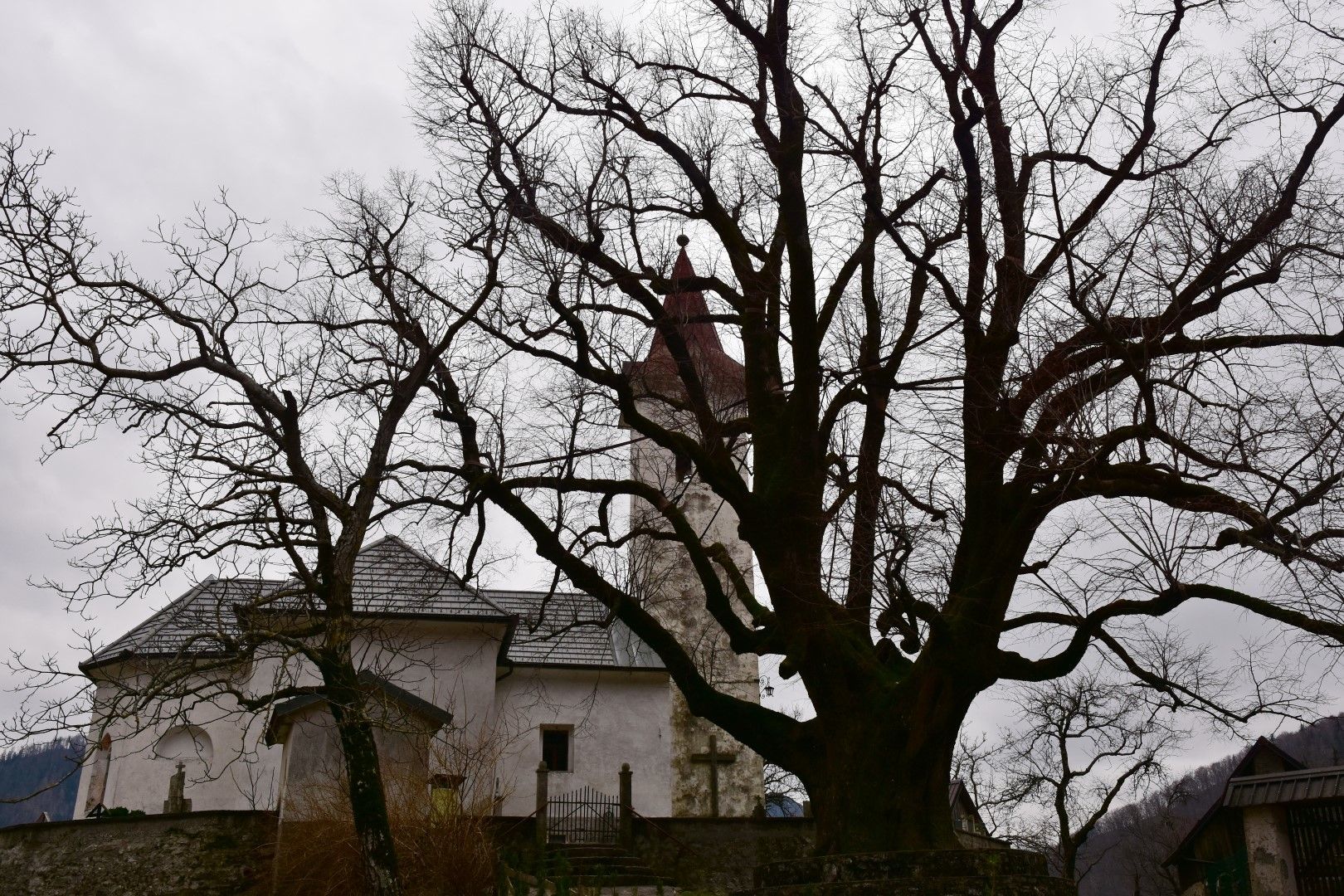
Old linden tree in the centre of the village of Rut
- Høydeprofil
-
 © outdooractive.com
-

-
ForfatterTurneen Mule trail 1932, old military trail beneath the peaks of the Tolmin Mountain chain brukes av outdooractive.com forutsatt.
GPS Downloads


Generell info
Kulturell/Historisk
Flora
Fauna
Lovende