© Turizem Dolina Soce - Andreja Križnič
© Turizem Dolina Soce - Andreja Križnič
© Turizem Dolina Soce - Andreja Križnič
© Turizem Dolina Soce - Andreja Križnič
© Turizem Dolina Soce - Andreja Križnič
© Turizem Dolina Soce - Andreja Križnič
© Turizem Dolina Soce - Andreja Križnič
© Turizem Dolina Soce - Andreja Križnič


- Kort beskrivelse
-
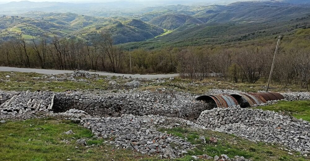
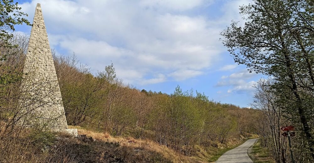
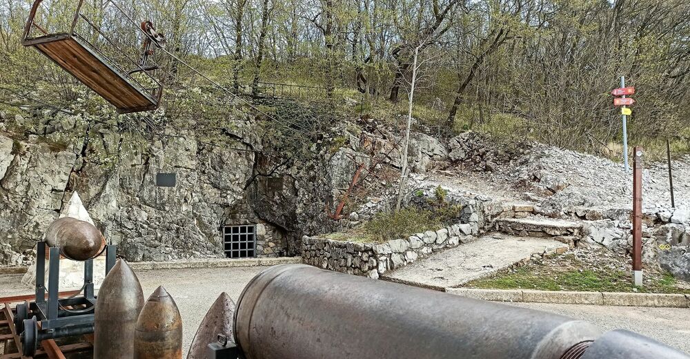
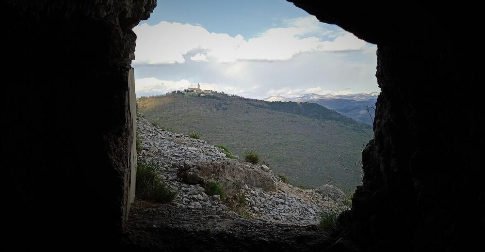
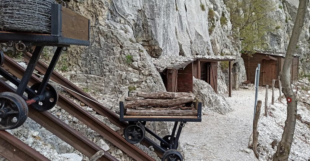
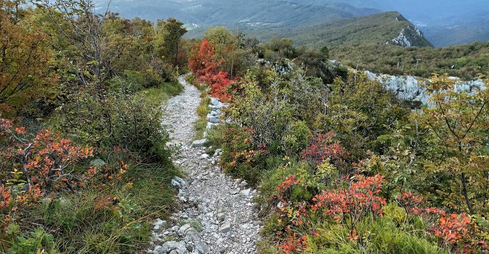
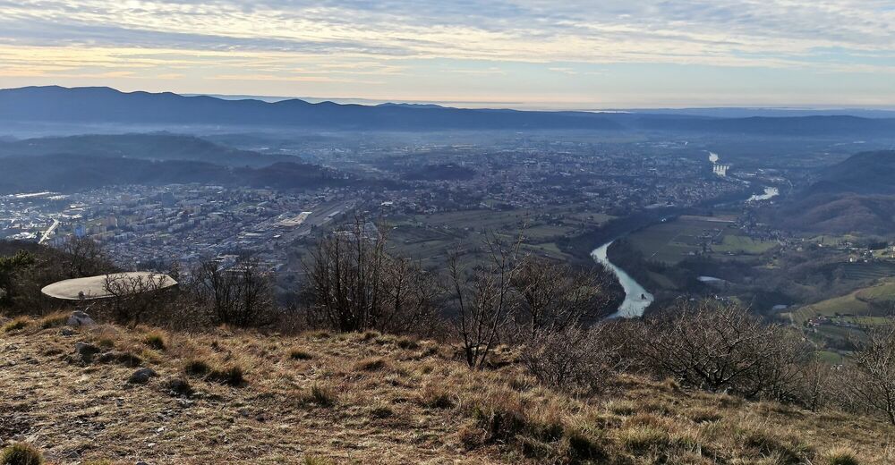
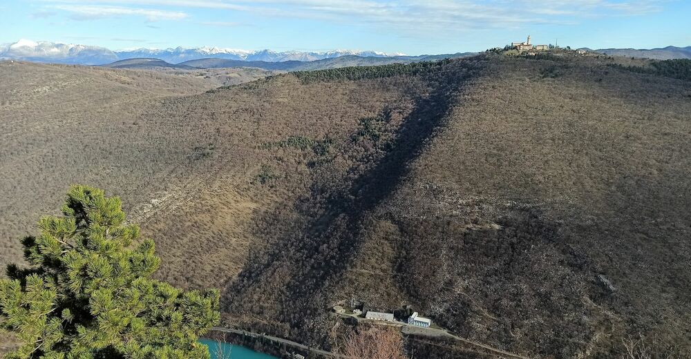
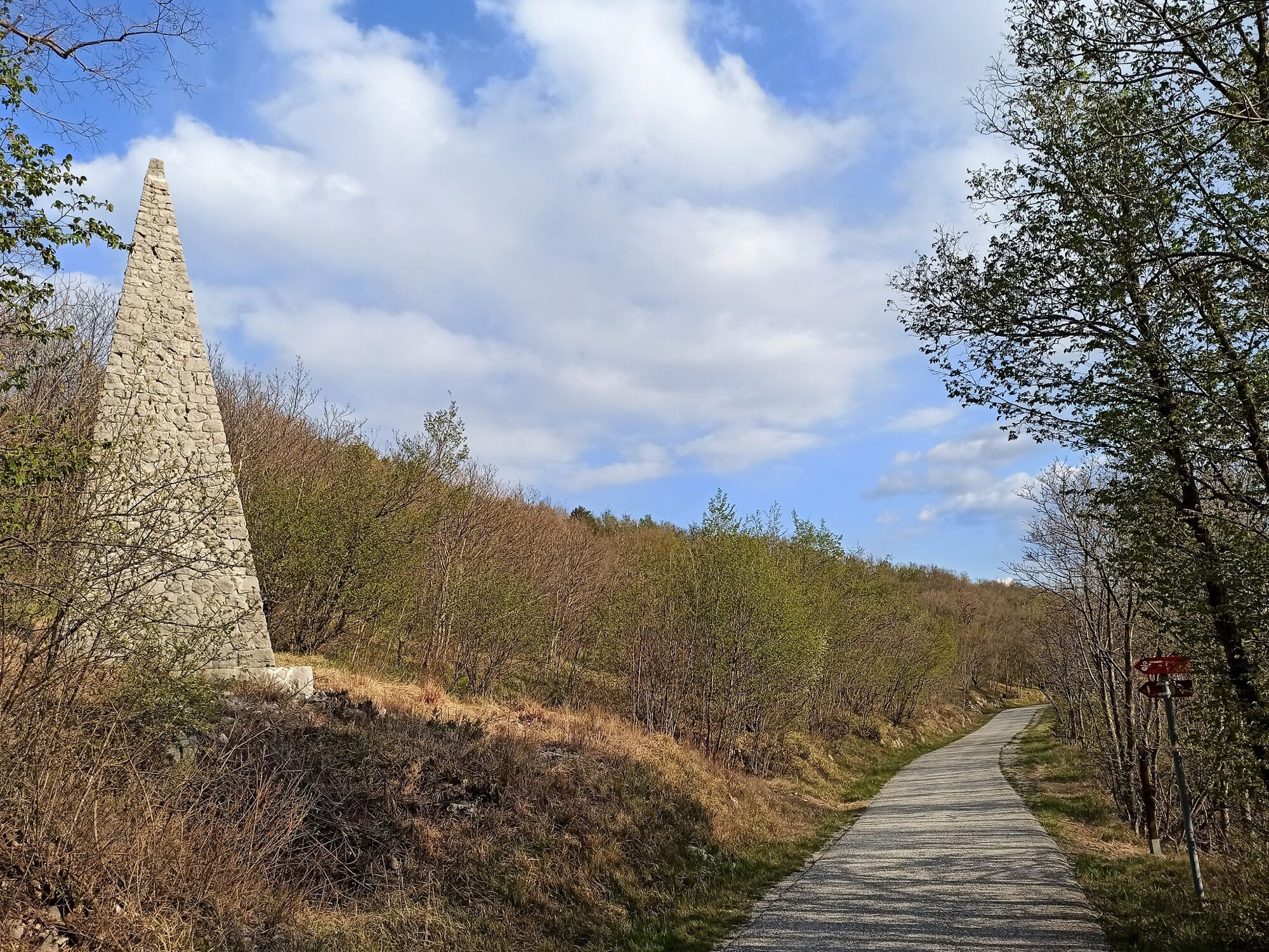
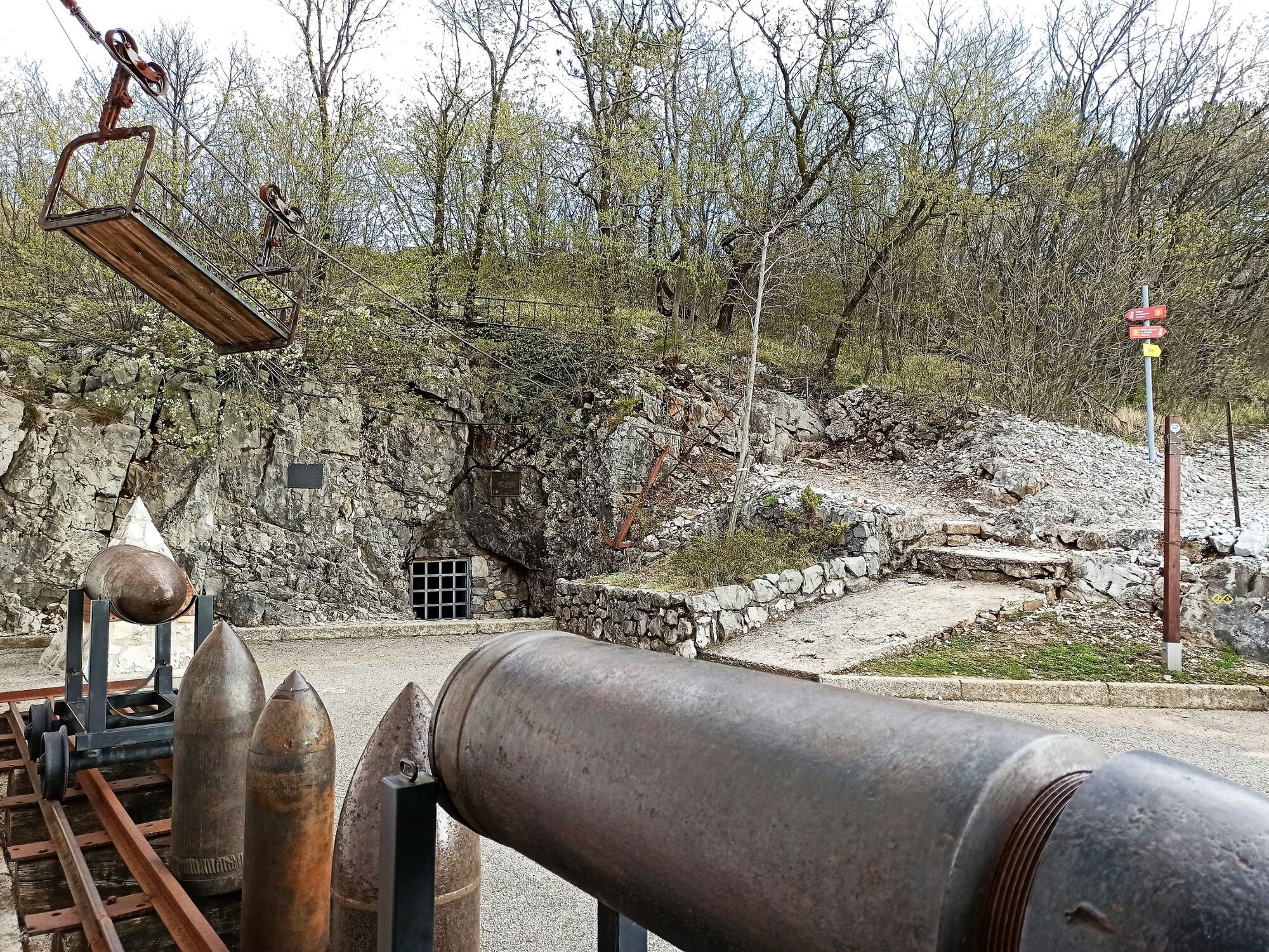
A moderate ascent along the old road to the Goriška brda Region and further to the mountain hut on Mt. Sabotin which is surrounded by a labyrinth of World War I caverns and trenches (part of the Peace memorial park) and offers splendid views from the Adriatic Sea all the way to Mt. Triglav.
- Vanskelighet
-
middels
- Evaluering
-
- Rute
-
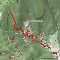
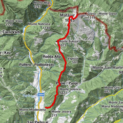
PlavaGostilna pri Mostu0,0 kmBrilesse0,9 kmSveti Ahac1,4 kmBrestie6,9 kmDom na Sabotinu12,9 kmBrestie18,7 kmSveti Ahac24,1 kmBrilesse24,7 kmPlava25,5 kmGostilna pri Mostu25,5 km
- Beste sesong
-
jan.feb.marsaprilmaijunijuliaug.sep.okt.nov.des.
- Høyeste punkt
- 547 m
- Reisemål
-
Mt. Sabotin
- Høydeprofil
-
 © outdooractive.com


- Forfatter
-
Turneen Tour across Mt. Srnjak to Mt. Sabotin brukes av outdooractive.com forutsatt.
GPS Downloads


Generell info
Forfriskningsstopp
Kulturell/Historisk
Innsidertips
Lovende
Flere turer i regionene
-
Brda
29
-
Nova Gorica
3