© Turizem Dolina Soce - Janko Humar

© Turizem Dolina Soce - Janko Humar

© Turizem Dolina Soce - Janko Humar

© Turizem Dolina Soce - Janko Humar

© Turizem Dolina Soce - Janko Humar

© Turizem Dolina Soce - Janko Humar

© Turizem Dolina Soce - Janko Humar

© Turizem Dolina Soce - Janko Humar

© Turizem Dolina Soce - Janko Humar

© Turizem Dolina Soce - Janko Humar

- Kort beskrivelse
-
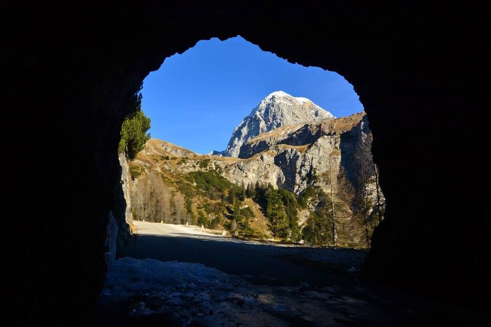
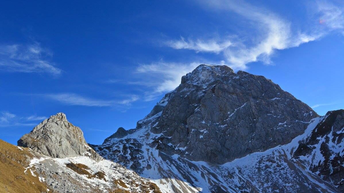
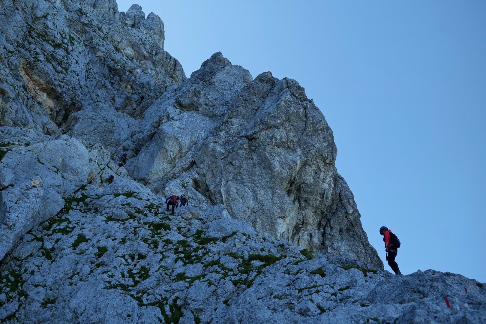
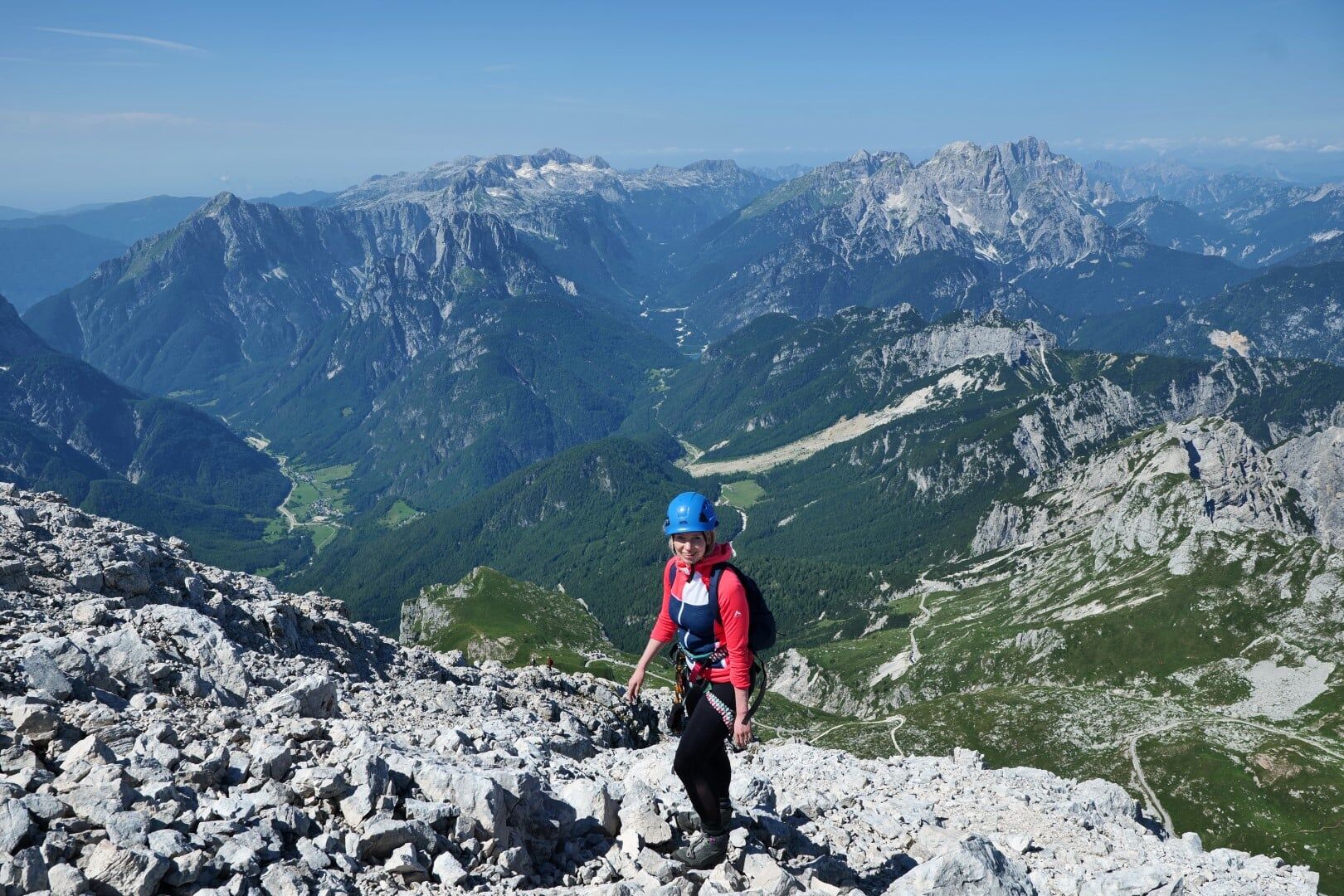
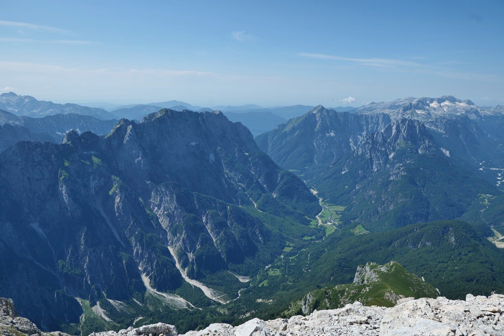
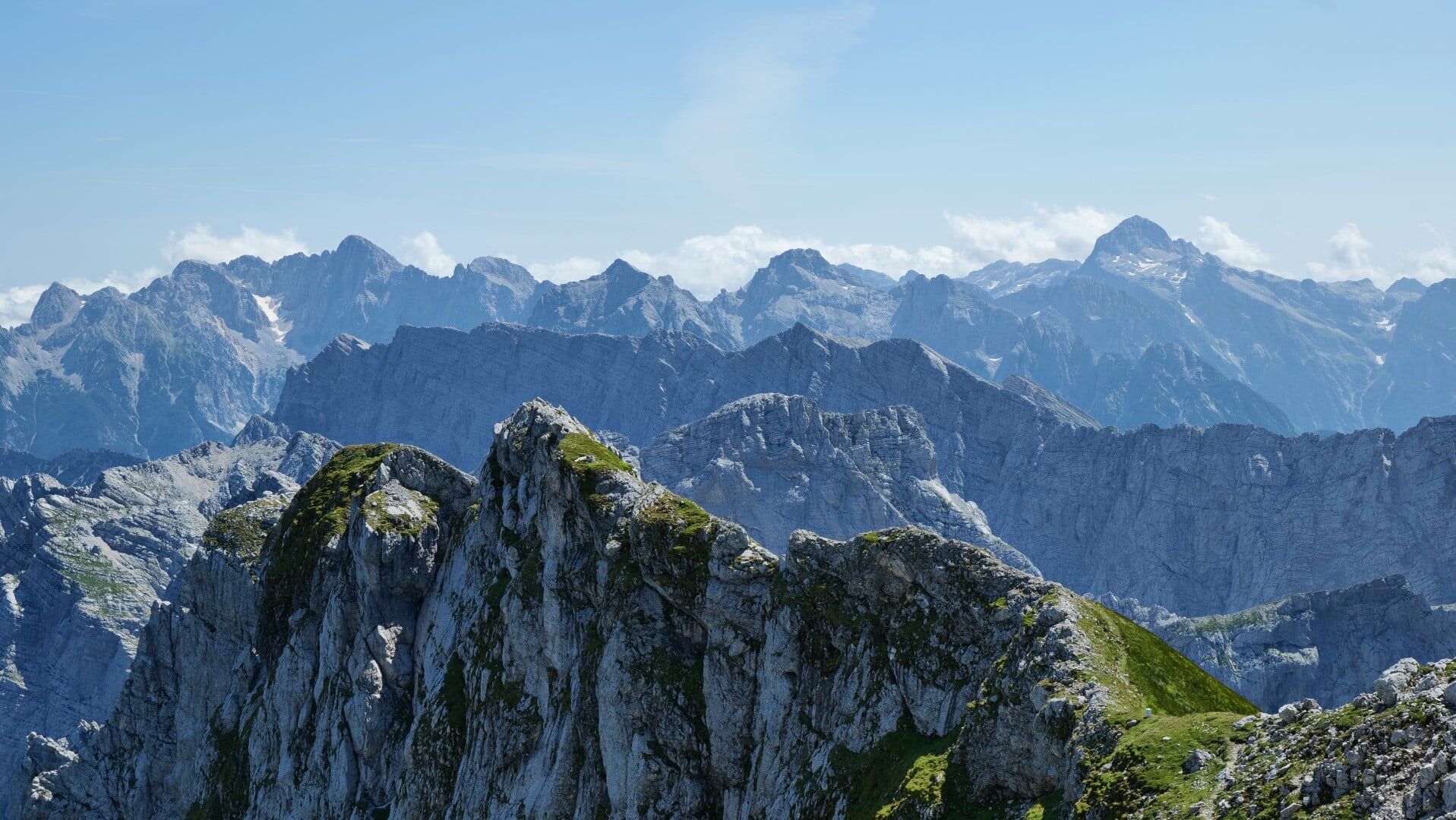
A moderately difficult equipped mountain trail to the third highest Slovenian mountain follows a transverse couloir which cuts the entire western face from bottom to top.
- Vanskelighet
-
middels
- Evaluering
-
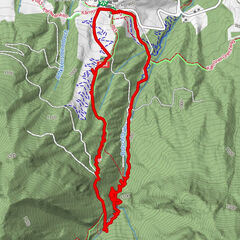
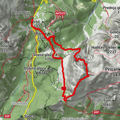
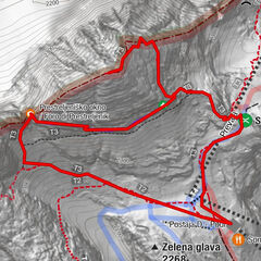
- Rute
-
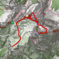
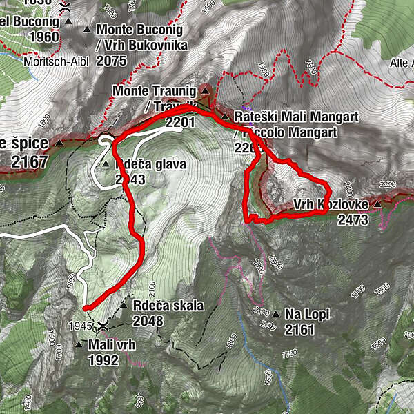
Na Drni (2.527 m)3,0 kmMangart (2.679 m)3,3 kmKleiner Mangart (2.263 m)4,8 km
- Beste sesong
-
jan.feb.marsaprilmaijunijuliaug.sep.okt.nov.des.
- Høyeste punkt
- 2.627 m
- Reisemål
-
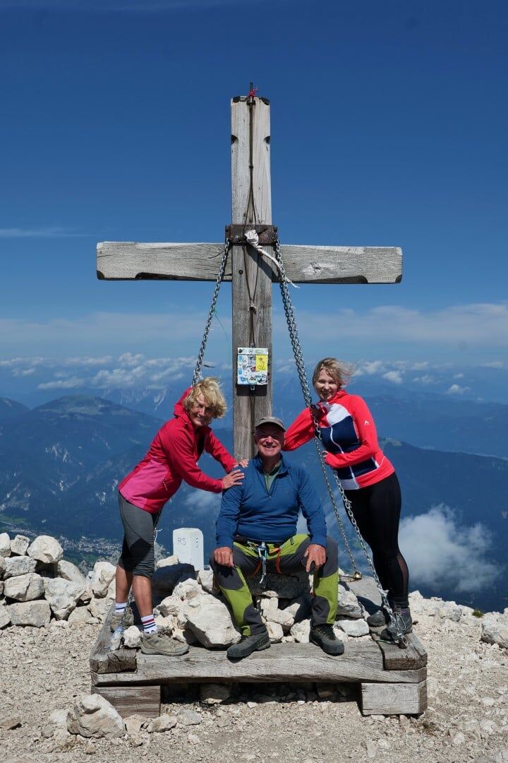
Mangart (2679 m)
- Exposition
- Høydeprofil
-
 © outdooractive.com


-

-
ForfatterTurneen Mangart (2679 m), The Slovenian route brukes av outdooractive.com forutsatt.
GPS Downloads


Generell info
Innsidertips
Lovende
Flere turer i regionene