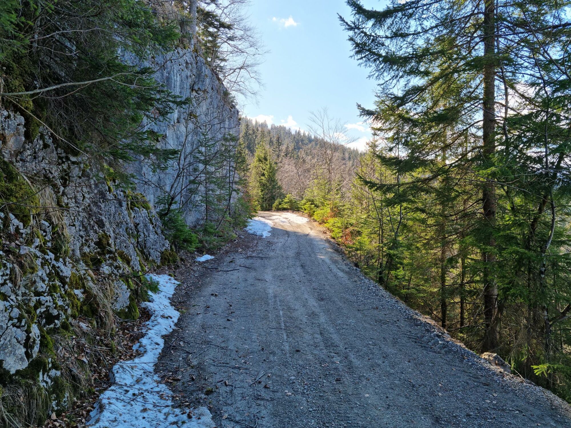
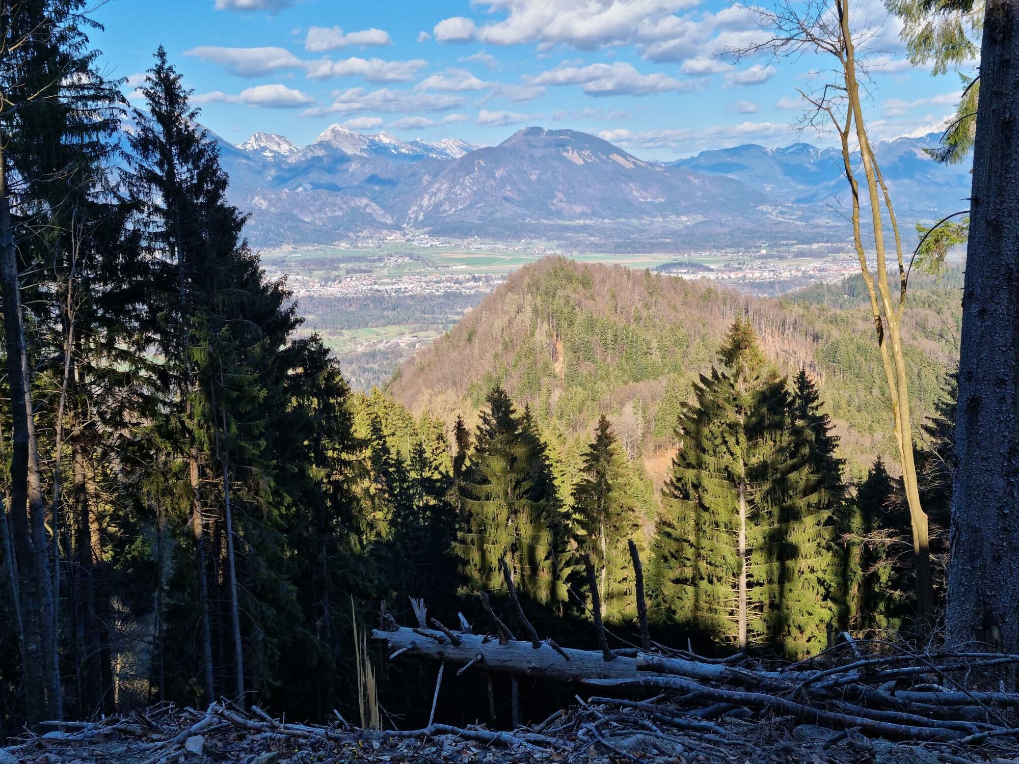
On the hunters’ trail to the Jelovica plateau: Goška ravan – Kupljenik

Mountainbike

© Turizem Bled - Atila Armentano
© Turizem Bled - Atila Armentano

© Turizem Bled - Atila Armentano

© Turizem Bled - Atila Armentano

- Kort beskrivelse
-
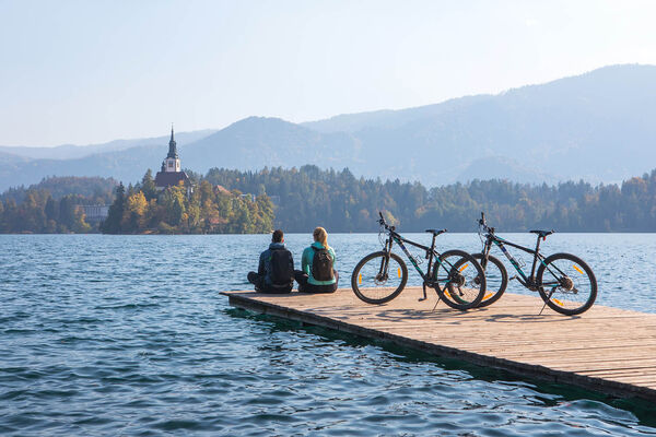
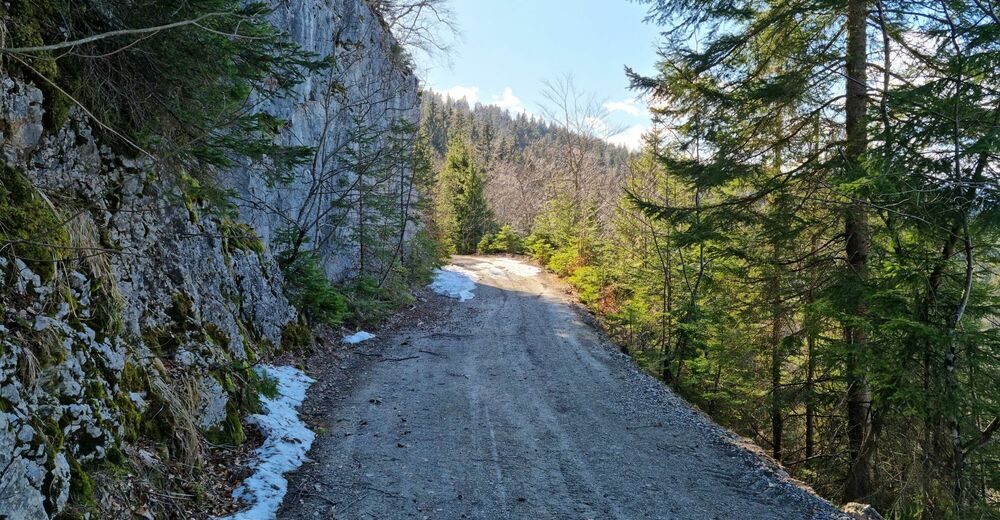
Test your sense of orientation, your endurance on the ascent and perseverance on the long descent. From the valley of the Sava Bohinjka river to the edge of the Jelovica plateau with a view to the Karavanke mountain range.
- Vanskelighet
-
vanskelig
- Evaluering
-
- Rute
-
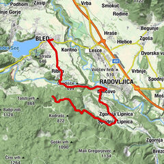
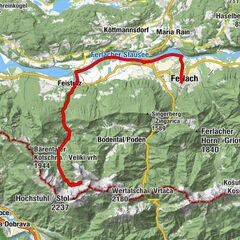
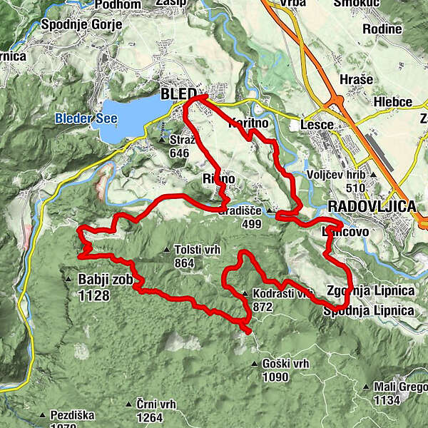
Bled0,2 kmKoritno1,8 kmNa Skali5,2 kmRadmannsdorf7,1 kmLancovo7,1 kmSelce7,5 kmKolnica10,2 kmVošče11,6 kmGoška ravan16,7 kmKupljenik24,1 kmRibno29,6 kmBled31,8 km
- Beste sesong
-
jan.feb.marsaprilmaijunijuliaug.sep.okt.nov.des.
- Høyeste punkt
- 1.029 m
- Reisemål
-
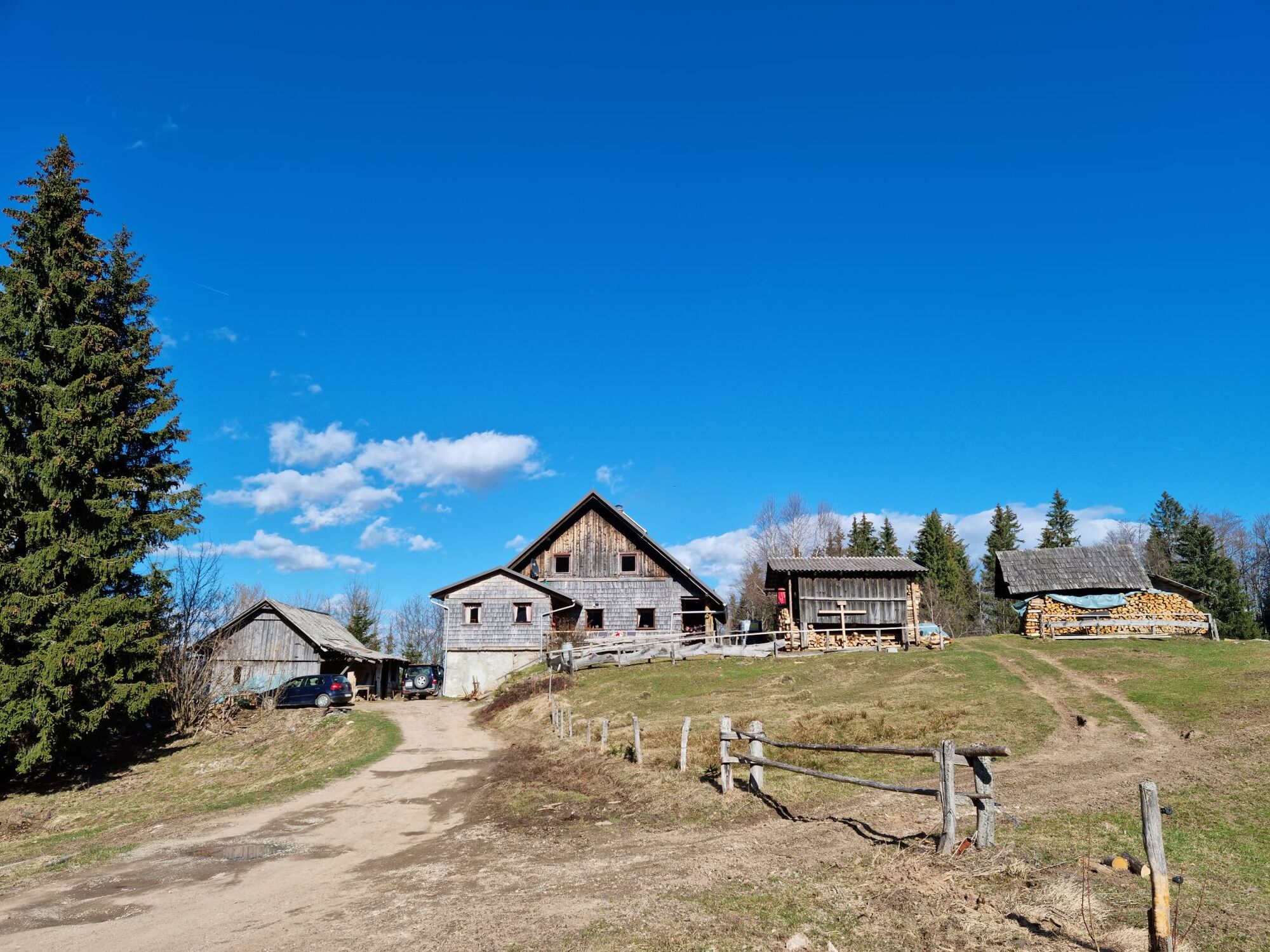
Infocenter Triglavska roža Bled.
- Høydeprofil
-
 © outdooractive.com

- Forfatter
-
Turneen On the hunters’ trail to the Jelovica plateau: Goška ravan – Kupljenik brukes av outdooractive.com forutsatt.
GPS Downloads


Generell info
Forfriskningsstopp
Innsidertips
Lovende
Flere turer i regionene
-
Wörthersee - Rosental
218
-
Gorenjska
32
-
Bled
32