© Terra Dinarica - planinarenje .ba

© Terra Dinarica - planinarenje .ba

© Terra Dinarica - planinarenje .ba

© Terra Dinarica - planinarenje .ba

© Terra Dinarica - planinarenje .ba

- Kort beskrivelse
-
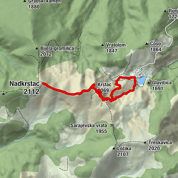
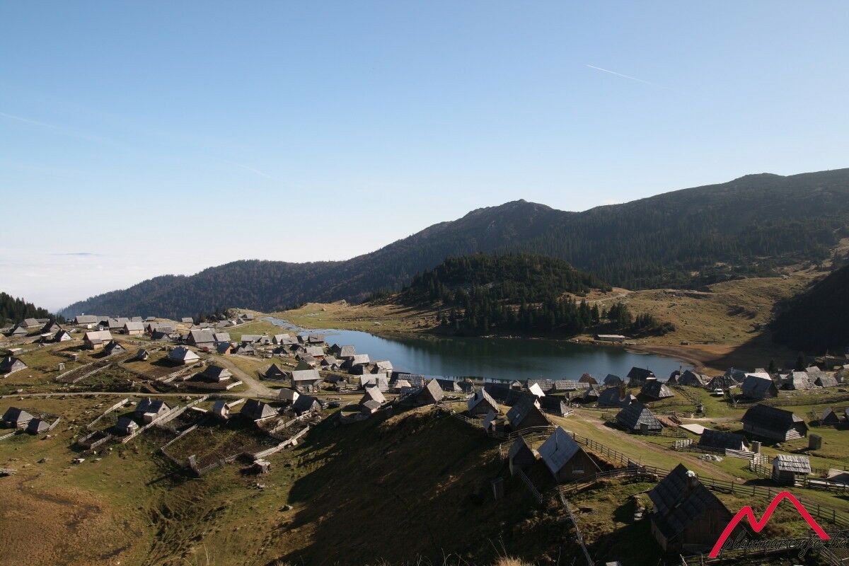
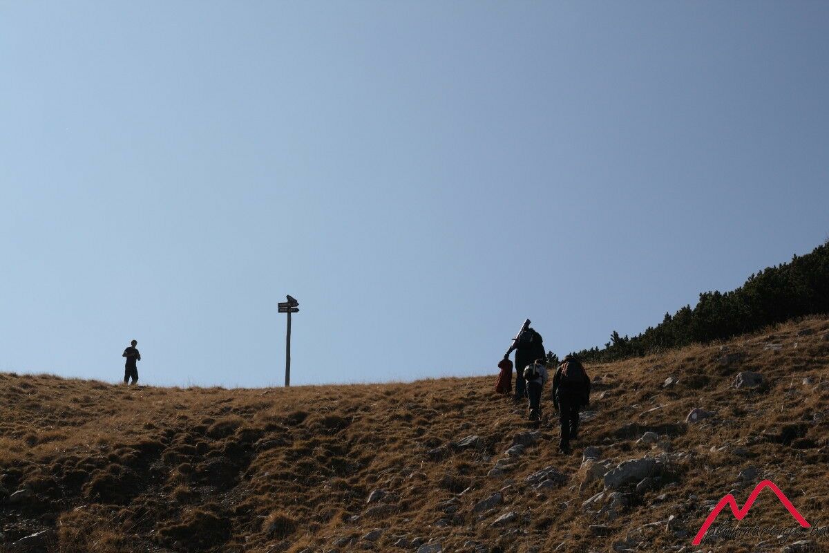
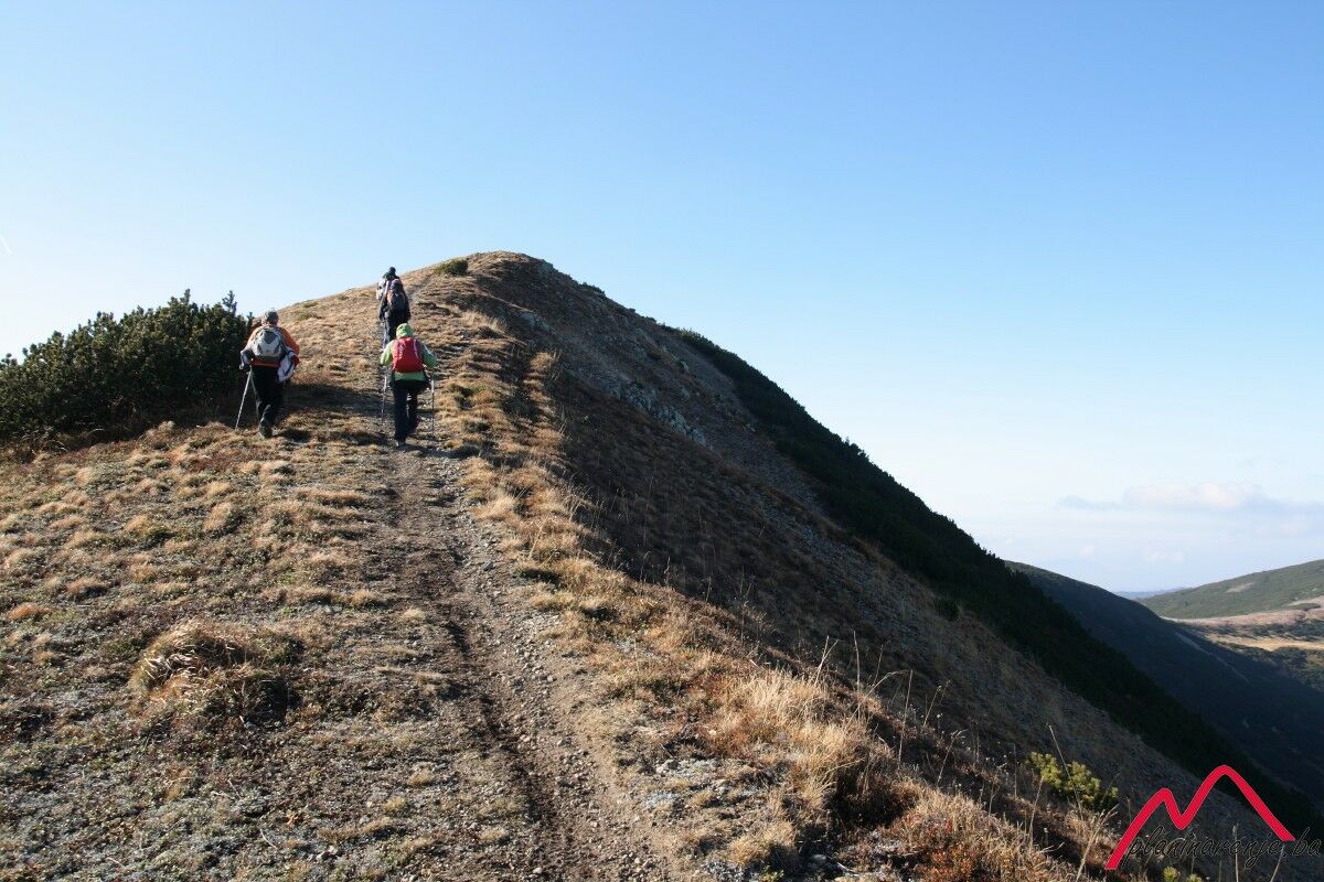
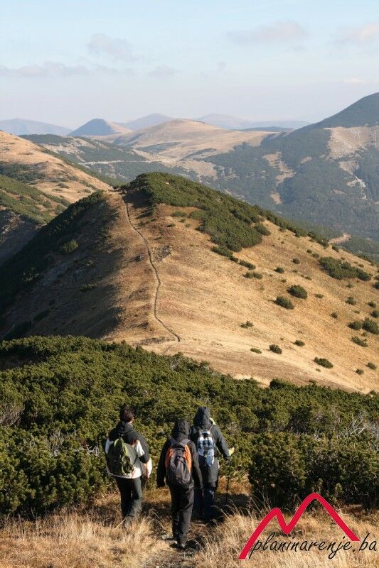
In terms of fitness requirements this is an intermediate walk, and it includes a wonderful view of lake Prokoško during the ascent, and from the top of the peak Krstac. It is technically undemanding. The only serious ascent is from the lake to the saddle where the junction for Nadkrstac and Ločika is located. The trail is marked and there is no risk of landmines. (Our ascent to the saddle was on an unmarked trail, but we returned on the marked one).
- Rute
-
Krstac (2.069 m)2,7 kmNadkrstac (2.112 m)4,2 kmKrstac (2.069 m)6,3 km
- Høyeste punkt
- 2.079 m
- Reisemål
-
Nadkrstac
- Høydeprofil
-
 © outdooractive.com
-

-
ForfatterTurneen Prokoško Lake - Nadkrstac brukes av outdooractive.com forutsatt.