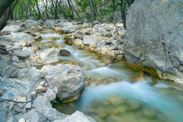
© Zadar Region Tourist Board - Vedran Metelko
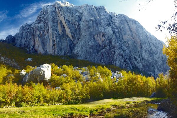
© Zadar Region Tourist Board - Vedran Metelko
© Zadar Region Tourist Board - Vedran Metelko

- Kort beskrivelse
-
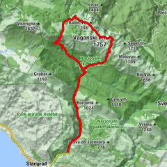
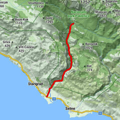
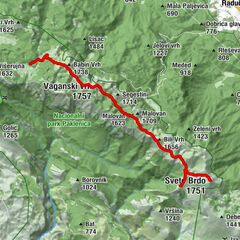
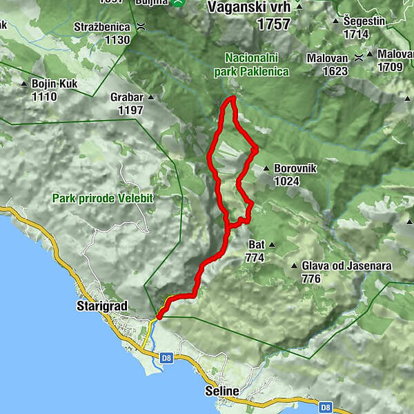
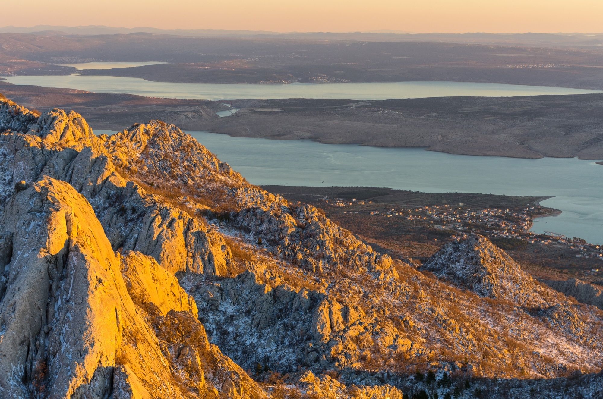
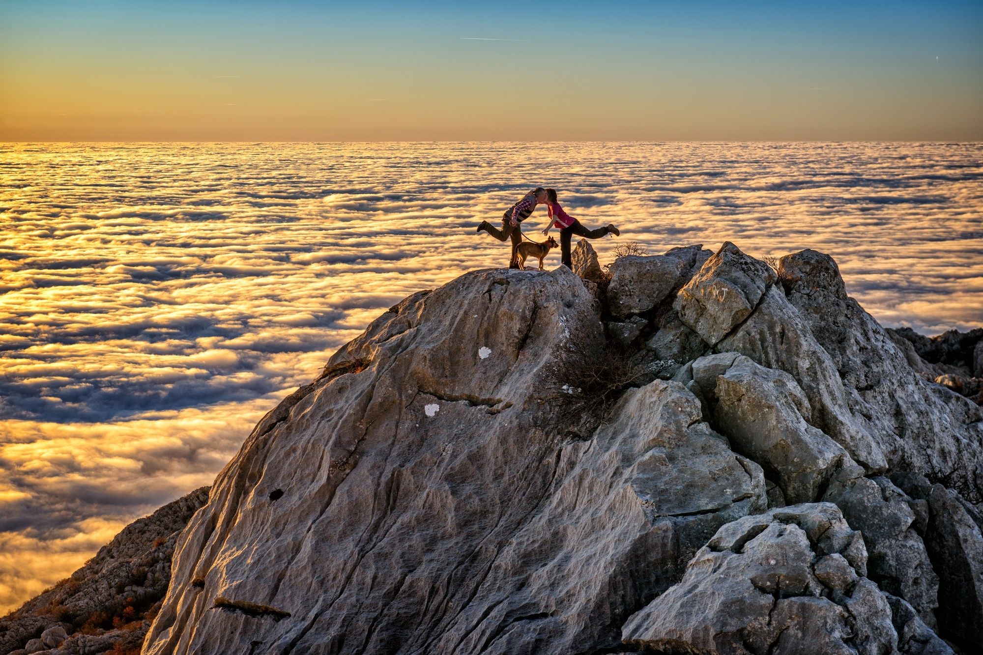
The path leads along the main canyon of Velika Paklenica, until it branches off towards Grabove Doline. The ascent opens up views of the canyon and the plateau located on the top.
- Vanskelighet
-
middels
- Evaluering
-
- Rute
-
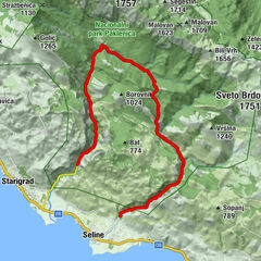
Klanci2,4 kmCrljena greda2,8 kmŠkiljići5,5 kmMala močila7,1 kmPlaninarski dom Paklenica9,3 kmStrmac10,0 kmLugarnica Foresters house11,0 kmKatići12,0 kmCrljena greda14,4 kmKlanci14,8 km
- Beste sesong
-
jan.feb.marsaprilmaijunijuliaug.sep.okt.nov.des.
- Høyeste punkt
- 756 m
- Høydeprofil
-
 © outdooractive.com
- Forfatter
-
Turneen NP Paklenica / V. Paklenica - Grabove doline brukes av outdooractive.com forutsatt.
GPS Downloads


Generell info
Helbredende klima
Kulturell/Historisk
Flora
Fauna
Lovende
Flere turer i regionene

")